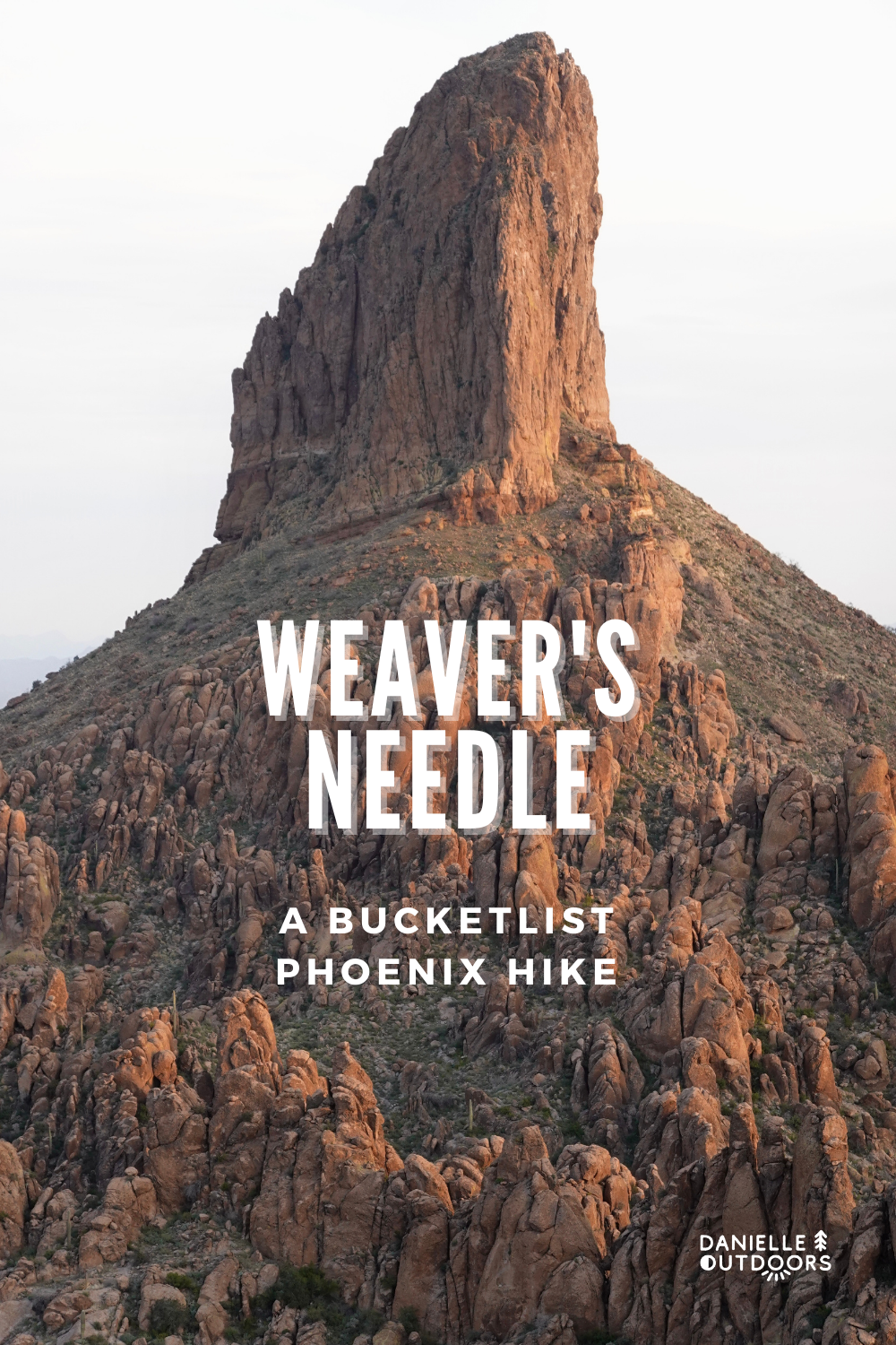
Hiking to Weaver’s Needle in the Superstition Mountains
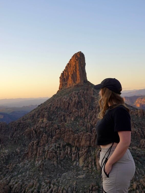
When I think of my all-time favorite hikes in Phoenix, Weaver’s Needle is at the top of my list. There are many reasons this hike is my favorite. I’ll be honest, it’s a bit sentimental to me- this was my first hike after moving to Arizona in March 2015. Also, it’s just BEAUTIFUL. There’s nothing like it- you just have to experience it for yourself.
I’ve hiked to Weaver’s Needle and around it at least 5 times now, so I thought I’d detail it here for you!
Why Should I Hike To Weaver’s Needle?
You should hike Weaver’s Needle if you’re looking for a fun out-and-back hike with beautiful views. You may also choose to backpack in the area. It is a decent drive out to the Weaver’s Needle Trailhead, but I promise it’s an adventure worth taking.
HIKING TO WEAVER’S NEEDLE IS AN EXHILARATING HIKE IF YOU HAVE TIME FOR A DAY-LONG ADVENTURE.
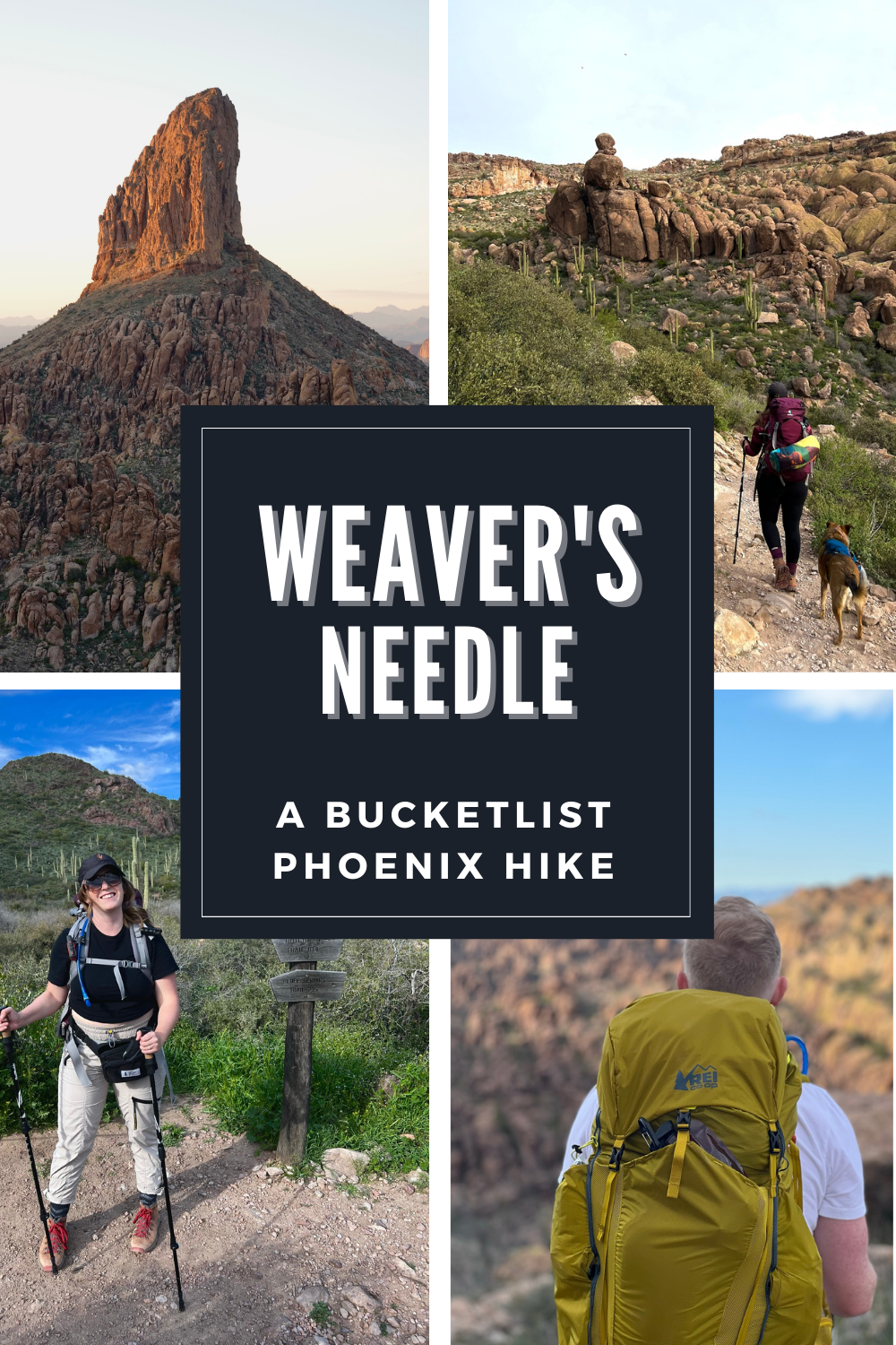
HISTORY BEHIND WEAVER’S NEEDLE
Weaver’s Needle is located in the Superstition Mountains that lie East of Phoenix, Arizona. The Superstition Mountains are well-known for the “superstition” that gold is buried somewhere in the mountains, yet to be found. A German Miner started this search and was termed the “Lost Dutchman.” Many who followed him died searching for gold.
Weaver’s Needle itself, arising from a valley deep in the Superstitions and peaking out at 4,555 ft, is said to point to the gold (or its shadow that is).
It’s also a very notable landmark in the valley and in the mountain range, so it is used for navigation purposes.
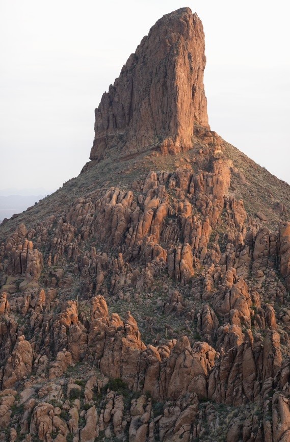
weaver’s needle itself
Where is Weaver’s Needle?
Weaver’s Needle is located 1 hr 13 minutes from Downtown Phoenix. I know it seems like a long time, but it feels quick. Some of the miles are on a dirt road, which slows it down a bit.
I live in East Mesa, and the trailhead is 40 minutes from my house. I also drive a Jeep Wrangler, meaning I can fly down the dirt road haha.
The Peralta Trailhead will lead to Freemont Saddle where you can see Weaver’s Needle. As I mentioned before, there are MANY hikes that lead to views of Weaver’s Needle, but this is the most popular hike.
EXPECT A TRIP FROM DOWNTOWN PHOENIX TO TAKE 5-6 HOURS TOTAL (WITH HIKE).
CAUTION
To get to the trailhead, you’ll need to drive on a dirt road. This road is subject to bumps and washes after the rain. I drive a 4WD, high-clearance Jeep so I’m never worried.
I have seen many small cars go through the washes, but just be aware. Bring a car you’re OK getting dirty and that you won’t freak out if it bottoms out once or twice.
WHAT IS THE BEST TIME TO HIKE WEAVER’S NEEDLE?
Given this, hike Weaver’s Needle from October-April. If you hike outside this window, ONLY hike early. My mom (from out of state) was dying to do this hike in May, so we left at 5 am and finished our hike before 9 am and we were still SUPER hot at the end of it. In March 2023, we hiked Weaver’s Needle for sunset which was beautiful. Make sure you have lights to go down if you do this. We actually decided to backpack, but I’ll go into this later.
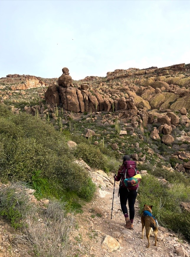
hiking up Peralta Trail to the Freemont Saddle
WEAVER’S NEEDLE HIKE DETAILS
As I mentioned before, there are multiple trails to and around Weaver’s Needle, but in this post, we are reviewing the Peralta Trail to Freemont Saddle, on the South side of the Superstitions.
HIKE STATS
HIKING TO WEAVER’S NEEDLE
Alright people, let’s roll! Once you’ve made it down Peralta Road to the trailhead (which can be limited based on the time of year and time of day), you’re ready to start. I do recommend signing the trail log in the beginning, just in case you get in trouble. Some people recommend NOT signing it if you’re solo due to safety, but that is up to you. The trailhead breaks off to Peralta Trail on the left and Bluff Springs to the right, almost instantly.
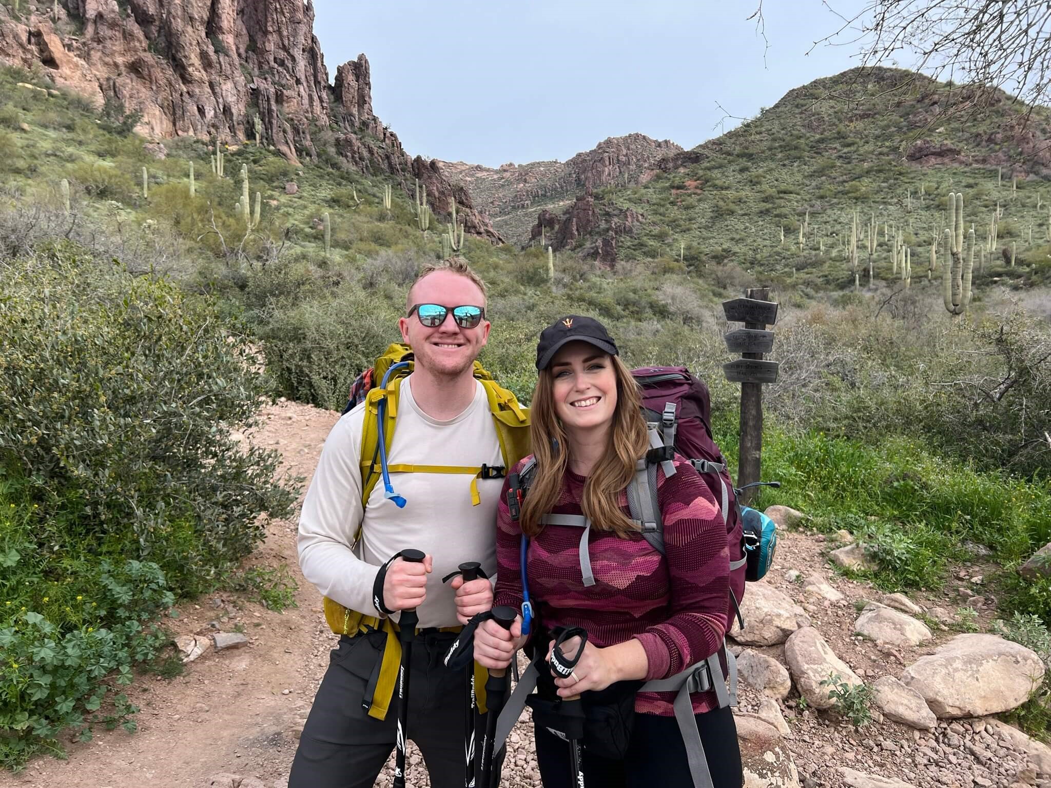
beginning of peralta trail to weaver’s needle
I personally love looking at the elevation profile of a hike before I go. It really gives you a good idea of what is to come and helps you to feel prepared instead of surprised in a bad way. AllTrails is my FAVORITE app for tracking and planning my hikes (this isn’t a promotion). AllTrails has a free option, but the Pro Option gives you the 3D planner which I am obsessed with. This isn’t an affiliate link but click here to join.
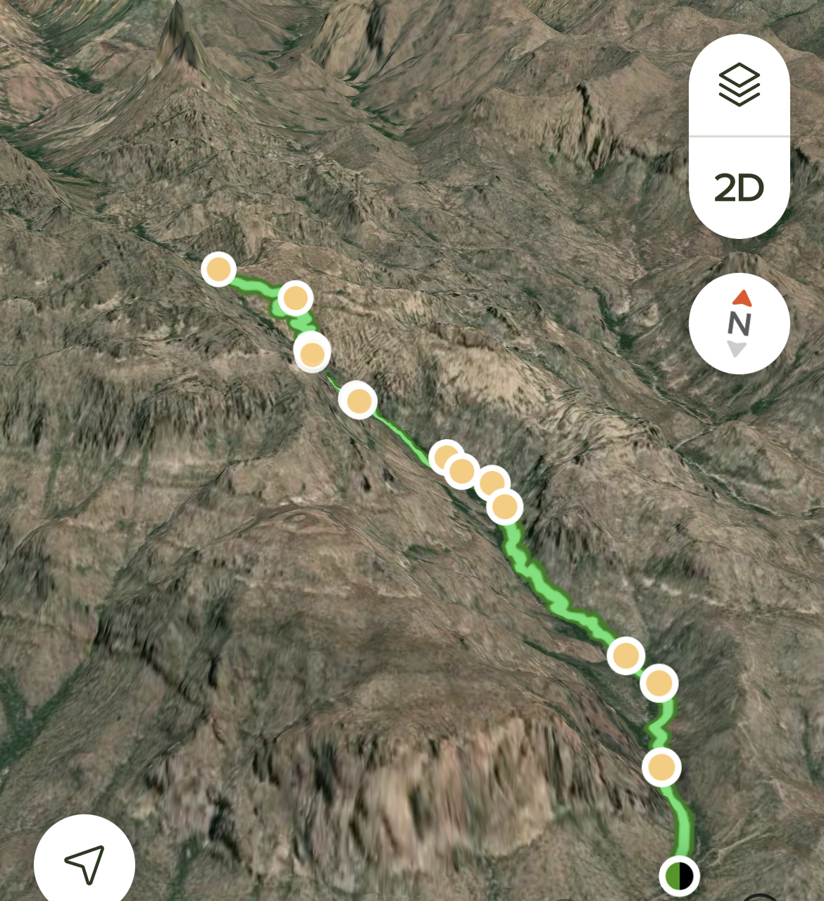
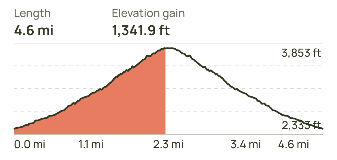
As you can see above, it’s a really slow gradual incline up through Peralta Canyon. You can see Weaver’s Needle in the 3D map. The saddle offers awesome views of it, but you don’t actually hike to it (I don’t feel you need to).
The beginning of this hike starts at the bottom of the canyon, so there are a lot of plants and brush. If it rained recently, you’ll cross a beautiful mini waterfall (you don’t have to walk through water) in the beginning. Then you’ll start your hike upwards. I will note, this trail is rocky (like larger rocks), so I don’t think it’s YOUNG kid friendly. We had a friend bring their toddler with and it was really difficult.
Interested in other Weaver’s Needle Hikes? Check out Black Top Mesa HERE.
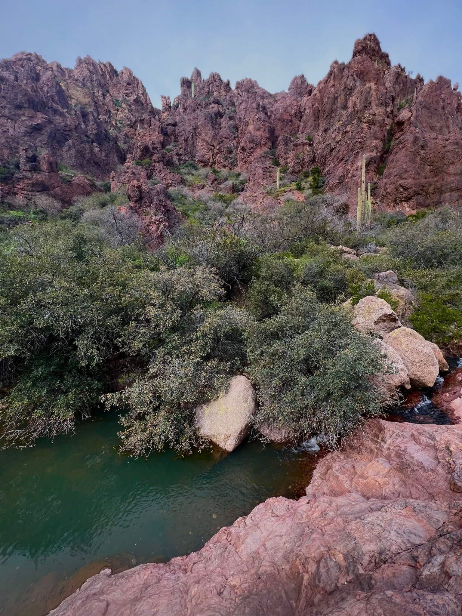
water at the beginning of weaver’s needle trail
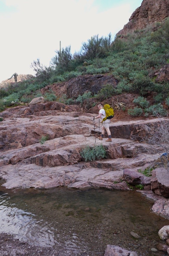
starting the incline up
After the water crossing, you’ll go back and forth in the brush deep in the canyon. There is some shade in this area, which is nice. After it rains, you’ll cross little streams which are really nice. You don’t have to walk THROUGH the water. In about a mile, you’ll stop hiking in the brush and start climbing further up the canyon ridge.
I’m always clear in my posts about whether I recommend hikes for beginners or only for experienced hikers. This trail is OK for beginners, you just need to be prepared. Beginners don’t need all of the best gear, but gear does change a lot. Here are a few things you may consider!
GEAR FOR WEAVER’S NEEDLE
BACKPACK: BUDGET ($50) OR SPLURGE ($100).
SHOES: BUDGET ($50-80) OR SPLURGE ($200).
HIKING STICKS: BUDGET ($30)
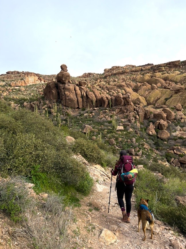
me with trail buddy hiking sticks and danner hiking boots
APPROACHING FREEMONT SADDLE
You know you’re getting close to the saddle when the trail changes from gravel to flat rock. You’ll go up a few switchbacks and soon be at the top. When you look downwards, you’ll see beautiful canyon views.
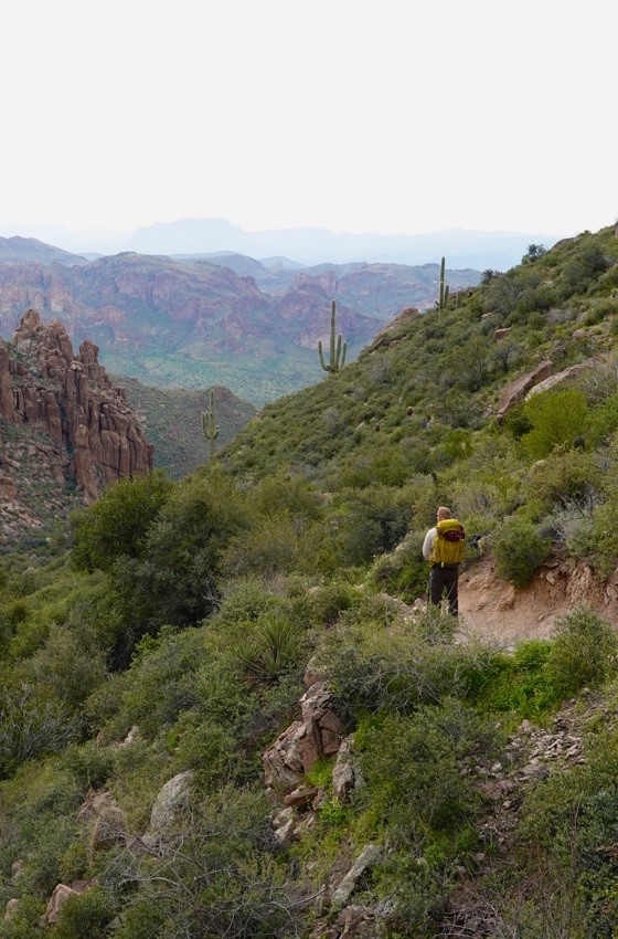
peralta canyon looking down
I have to shortly interject to bring up a sentimental moment. I moved to Arizona in 2014, and quickly fell in love with the landscape. My first REAL hike outside of Tempe, Arizona (where Arizona State University is located), was THIS hike to Weaver’s Needle. I was with two college friends and they invited me on a whim. When we were driving up Peralta Road we noticed VERY ominous clouds, but we were resilient, dumb college kids so we kept driving.
We ended up hiking up the canyon in the rain, which was pretty fun honestly. At one point, we looked back down the canyon and saw double rainbows and a sunset. THIS MOMENT is when I fell in love with hiking. We were poor, and didn’t have the best gear, but had the adventure of a lifetime. Just remember you don’t need to pay a fortune to hike.
When you’re hiking, look out for this circle rock on the left and you’ll know you’re almost done!!
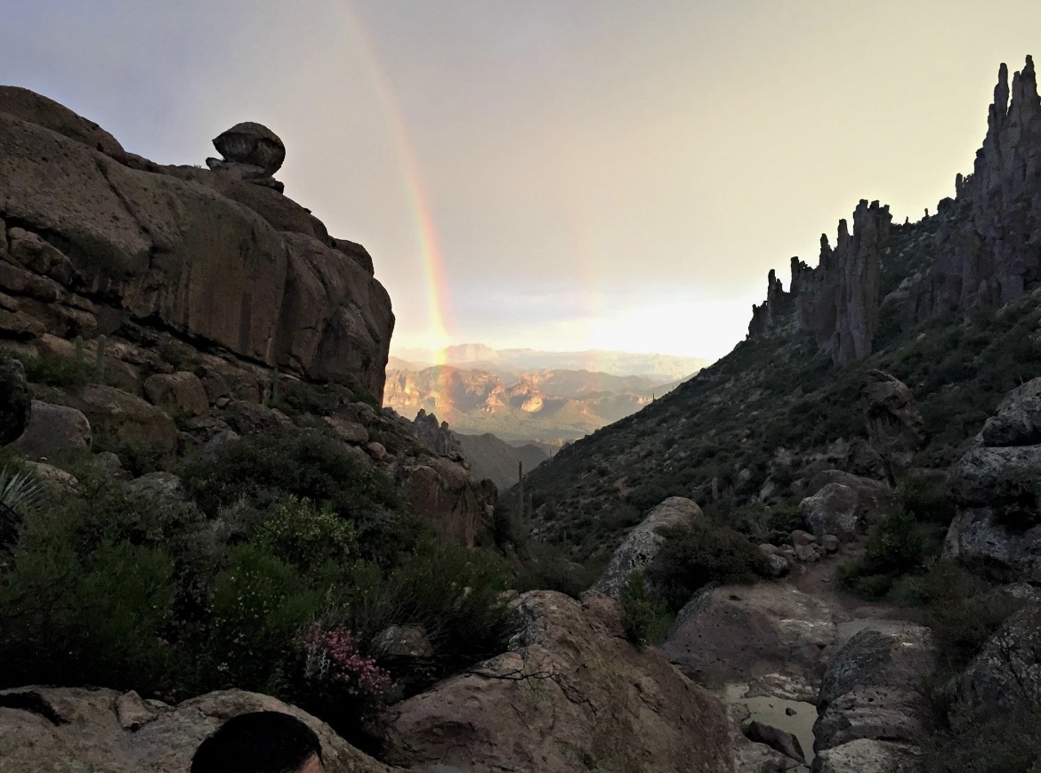
double rainbow in peralta canyon
REACHING FREEMONT SADDLE
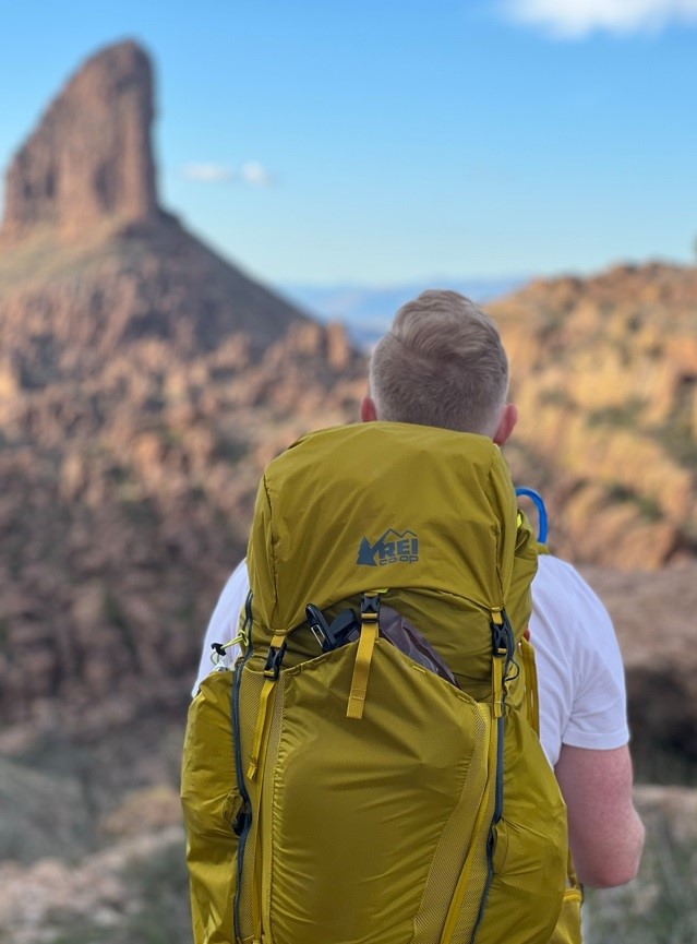
looking at weaver’s needle from freemont saddle
When you reach Freemont Saddle, you’ll know you’re there. All of the sudden, the 1,000 ft tall needle pops out of nowhere. You see the surrounding valley and will be blown away by the desert landscape.
Most people stop their hike here. It’s 2.3 miles to get to the saddle. This can be continued on to through hikes or looping around the needle, but most people go back here. If you haven’t hiked this area before, I would turn back. Spend some time enjoying the view of Weaver’s Needle and take some photos.
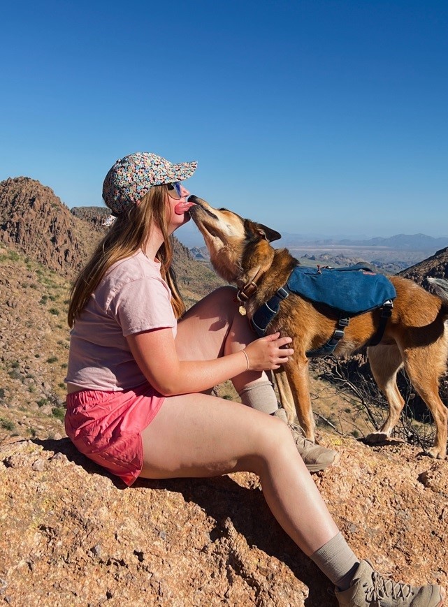
dog hiking weaver’s needle

me in front of weaver’s needle
WEAVER’S NEEDLE TO LONE TREE
The lone tree is a notable landmark near Weaver’s Needle that you may consider extending your hike to. When you reach the Saddle, look maybe 25 degrees to your right and you’ll notice a lonely little tree in the distance.
It is an extra 0.5 miles to the tree, but it gives you a really unique and closer view of Weaver’s Needle. In our most recent hike, we decided to BACKPACK HERE, but I’ll go into that in another post.
I personally think it’s worth the extra mileage.
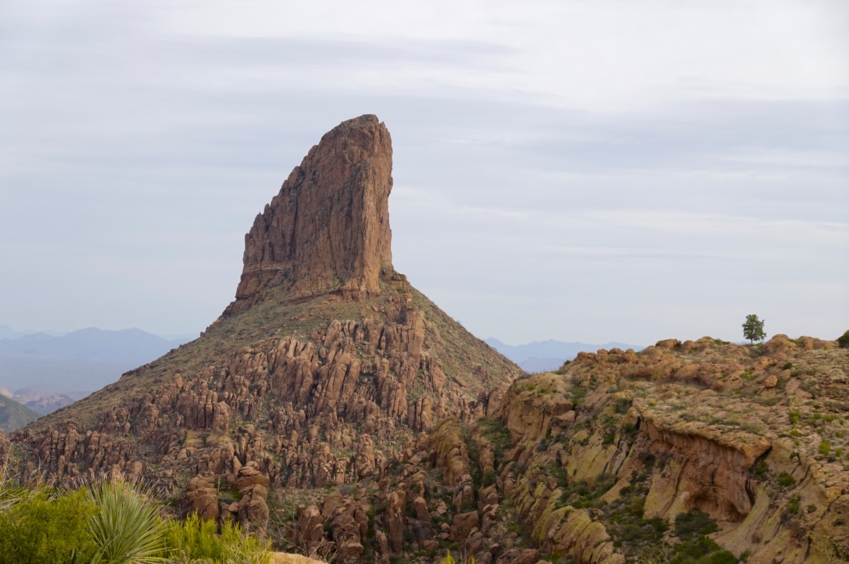
view of the lone tree from freemont saddle
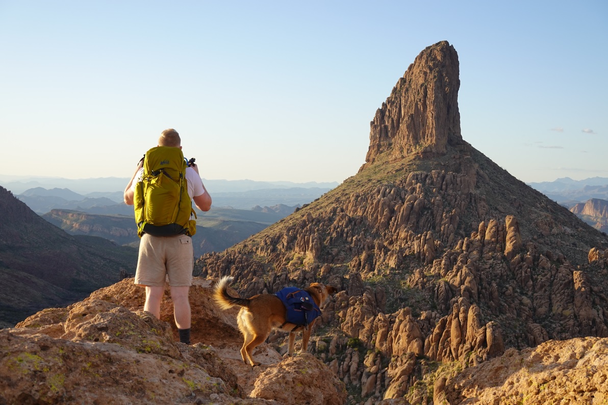
view of weaver’s needle at lone tree
FINAL THOUGHTS ABOUT WEAVER’s NEEDLE
Weaver’s Needle will ALWAYS be one of my FAVORITE HIKES IN THE SUPERSTITION MOUNTAINS. I frequently take visitors, and I’ve gone myself many times in all seasons. It’s a bit of a challenge, but it’s beginner-friendly. Here are some other local hikes if you’re interested!
See Weaver’s Needle from Black Top Mesa Trail
Flatiron- A Bucket List Phoenix Hike.
Pass Mountain Loop in East Mesa
How to Hike to the Tallest Point in Maricopa County: Four Peaks
