Hiking Pass Mountain Loop in Usery Mountain Regional Park
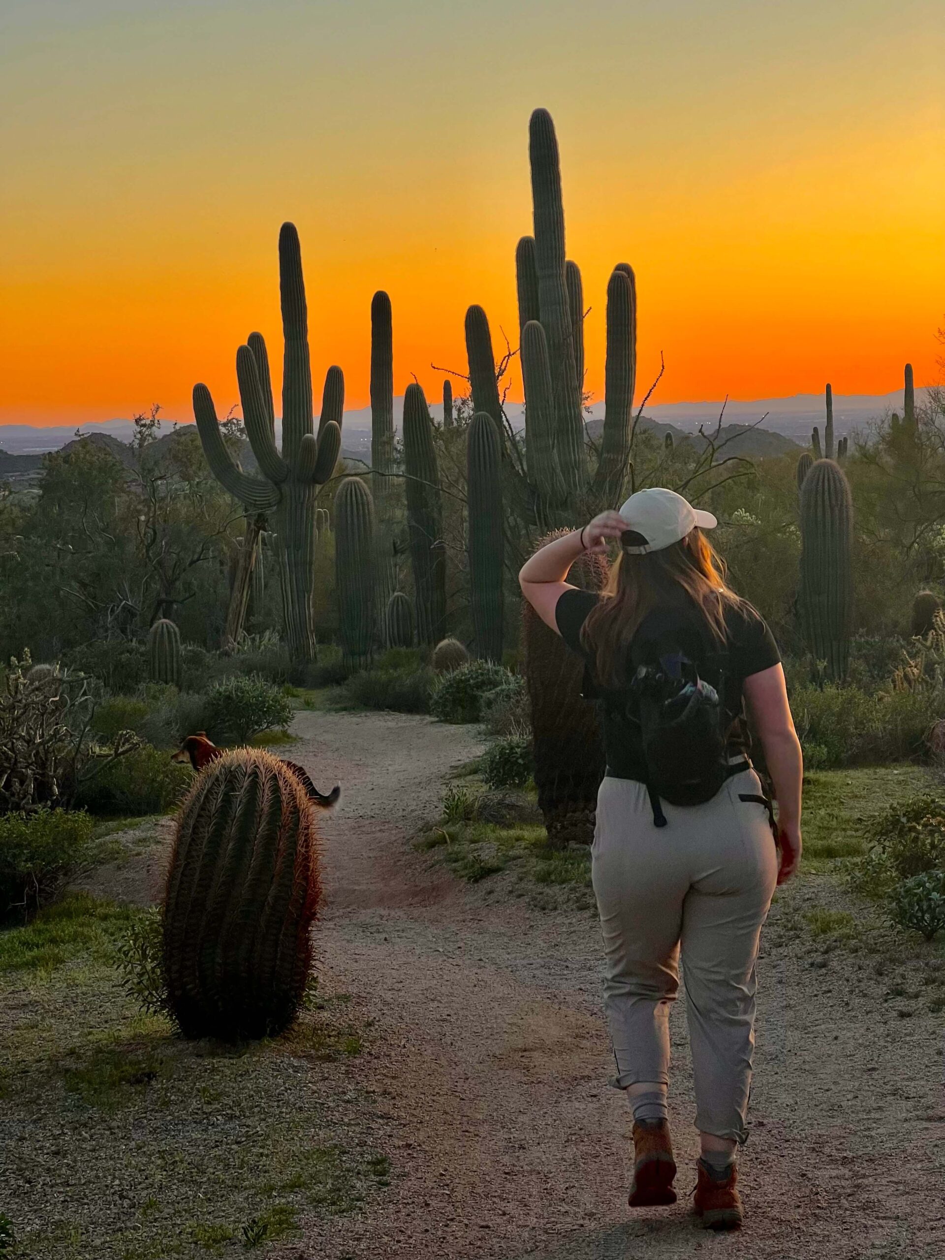
While most of the country braces tough snowy, cold winters, Arizonians put on their shorts and tanks to go for a hike. One of the best parts of living in Arizona is our hiking season, which is winter. The desert is green and alive and wildflowers bloom. There’s an endless amount of local hikes to explore, including Pass Mountain Loop.
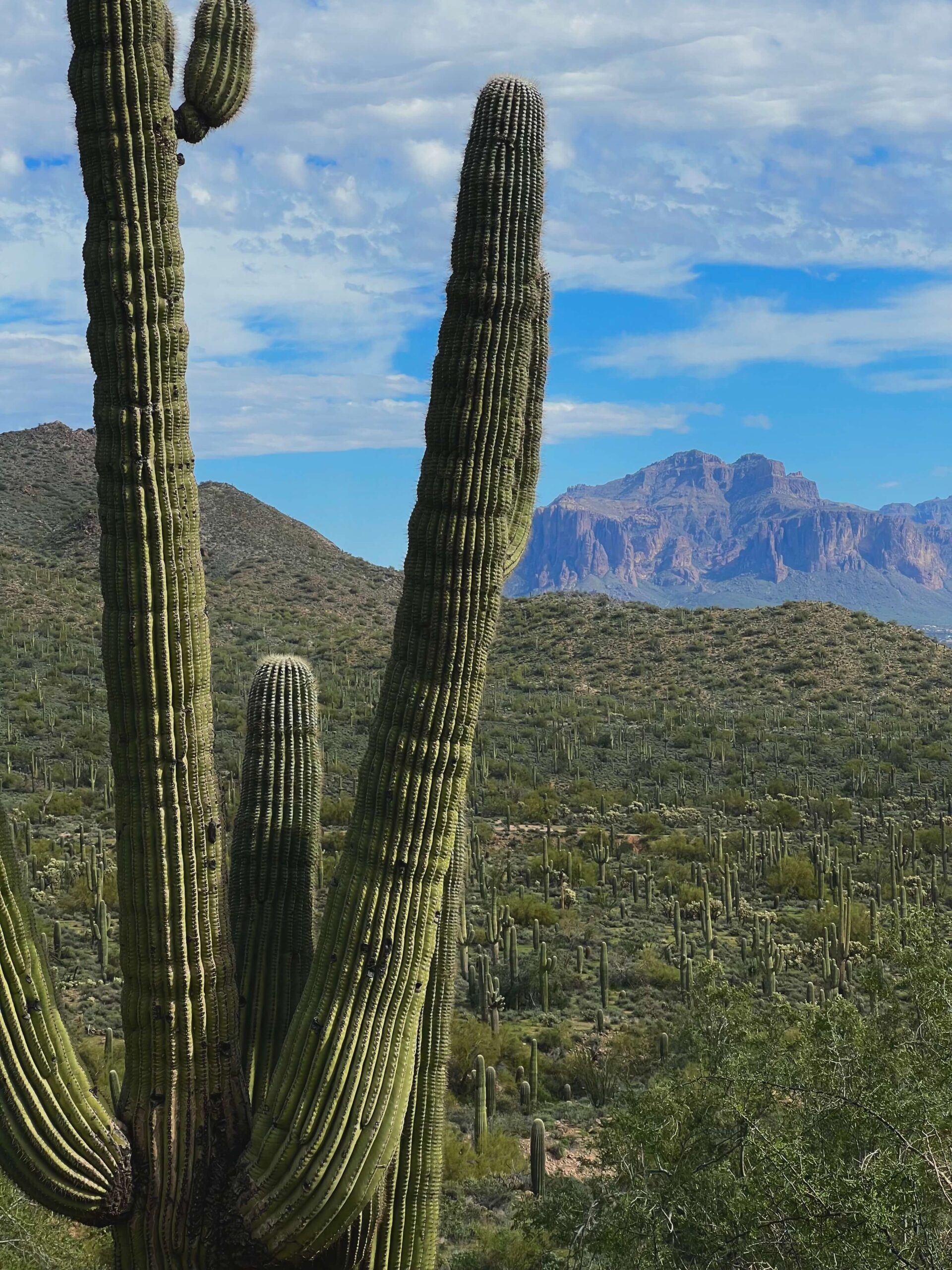
Pass Mountain Loop is located in the Usery Mountain Regional Park, located about 30 minutes east of Downtown Phoenix. It’s a bit of a drive, but I especially love the density of Saguaros here along with the surrounding views of the Superstitions and Salt River down the road.
Why Should I Hike Pass Mountain Loop?
Pass Mountain Loop is perfect for people looking for a RELATIVELY EASY, BUT LONG HIKE with great views. It’s also a great mountain biking and trail-running route. Crowds are low here which is nice if you’re looking to get away from the city. On the back side of the mountain especially, we only saw a few people.
PASS MOUNTAIN LOOP IS A GREAT LEISURELY LONG HIKE.
Where is Pass Mountain Loop?
PRO TIP
East Mesa is very underrated but is the gateway to many wonderful areas, including the Salt River, Usery Park, EJ Peak. The Goldfield Mountains, The Superstition Mountains, and more.
WHAT IS THE BEST TIME TO HIKE PASS MOUNTAIN LOOP?
PASS MOUNTAIN LOOP HIKE INFORMATION
Pass Mountain Loop is a beautiful hike in Usery Mountain Regional Park. I feel it is the perfect hike for you if you’re looking to increase your endurance in a beautiful area with few people.
HIKE STATS
HIKING PASS MOUNTAIN LOOP
There are multiple access points to start Pass Mountain Loop. I chose Meridian Trailhead because I’ve done a number of trails before, and you can avoid the Usery Park $7 day fee. For people new to the area, I suggest starting at the Wind Cave Trailhead which has maps, bathrooms, and ample parking. There’s another lot within the Regional Park to start Pass Mountain as well. Here are the AllTrails stats below.
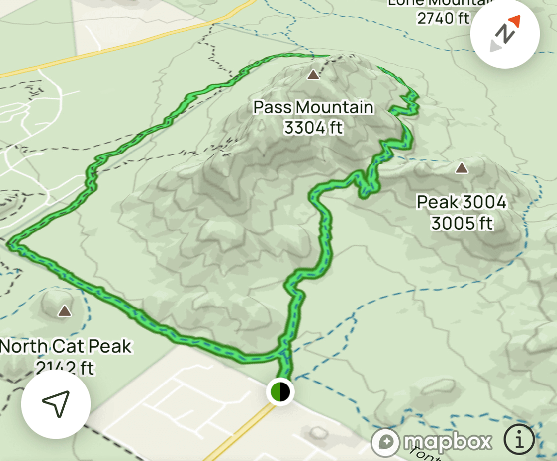
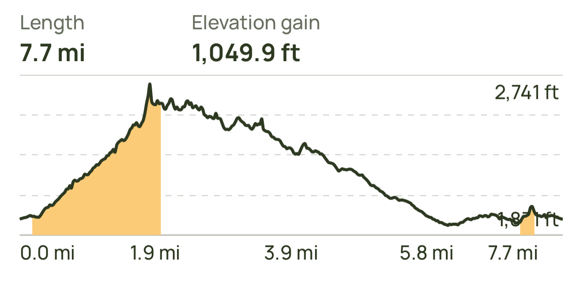
You can choose to go clockwise or counterclockwise on the Pass Mountain Trail. If you want a slow gradual incline with a steep decline at the end, go clockwise. If you want to do a steeper incline at the beginning and then go downhill the rest of the hike, go counterclockwise. I liked the second option, so we started at the meridian trailhead and went counterclockwise. The incline really wasn’t that bad!
NEED A NEW HIKING PACK?
Try out this Camelbak pack I’ve been using for years. I recommend at least 2 liters for this hike.
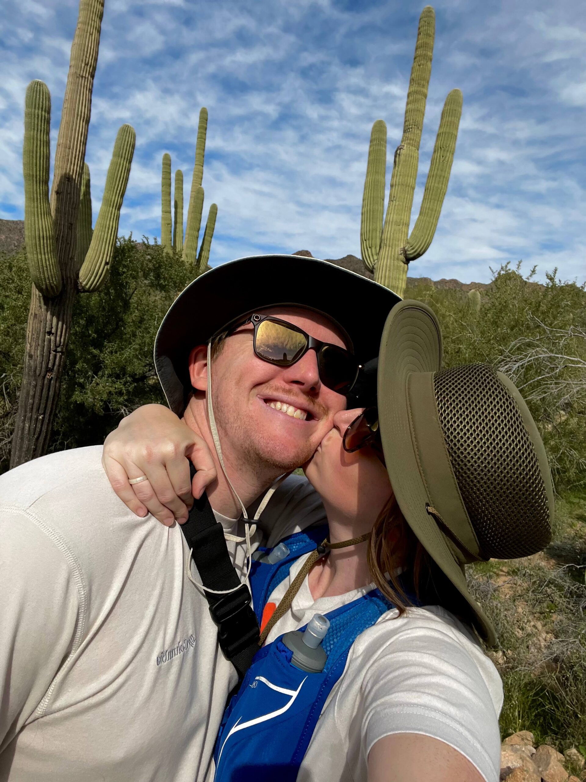
When you start on the Meridian Trailhead, you follow the trail to the left at the first fork you see. Then you’ll reach a deep wash. There’s a trail to go down the wash and another that goes to the right. Follow the trail down the wash. Right across from where you go down, there’s a steep trail up the other side of the wash. There’s another more gradual trail up if you go the right. I have gotten lost in this wash before, so use navigation, please.
If you love hiking in Arizona, read about another one of my FAVORITE nearby hikes HERE.
From this point, it’s easy to follow the trail. If you hike in the Spring, there are wildflowers on this part of the trail. I love how quiet the pass mountain trail was. You will make an incline on this part of the hike until you hit the Pass Mountain Saddle. This is a good stopping point if you want a short hike (4 mi round trip).
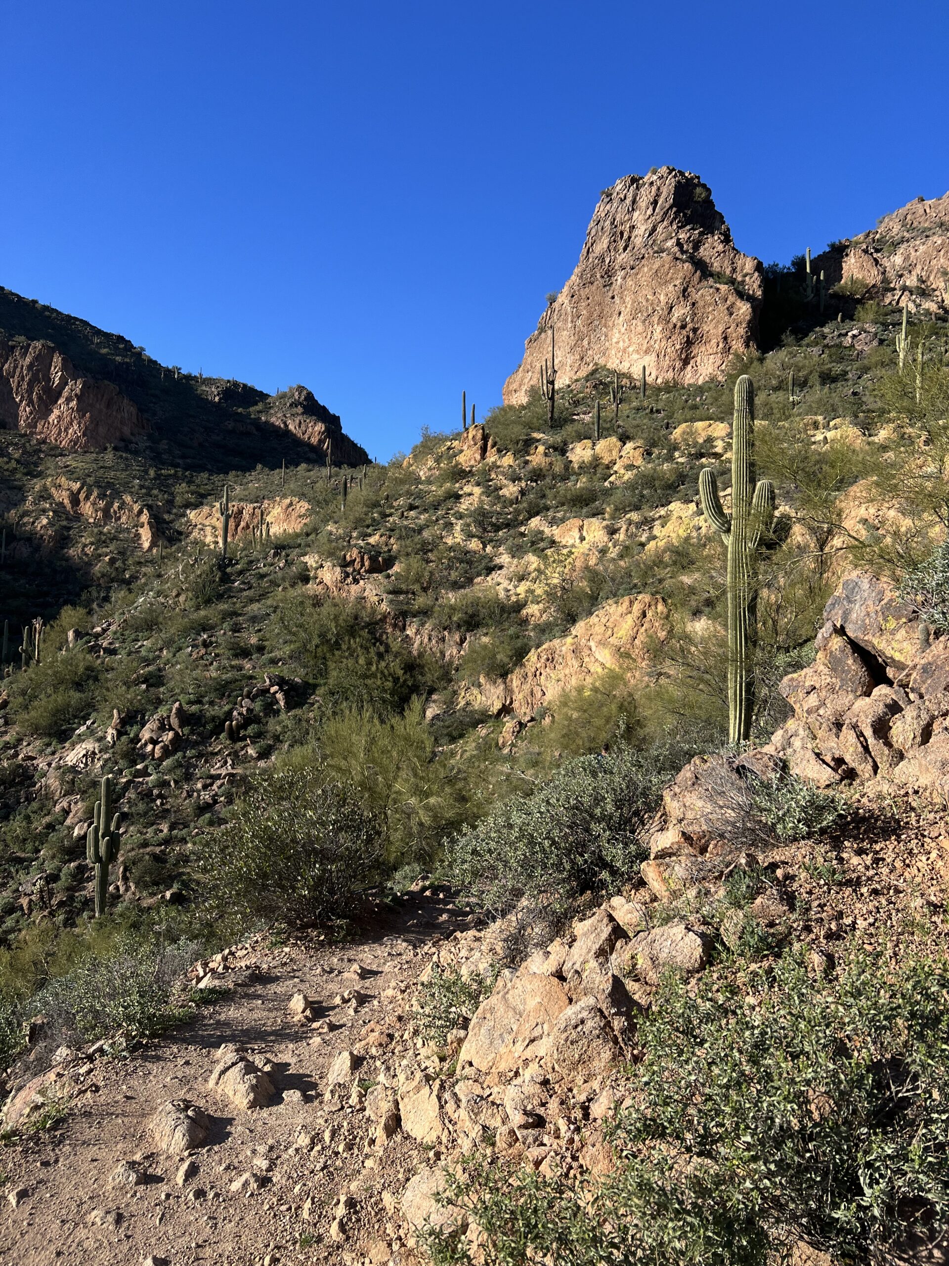
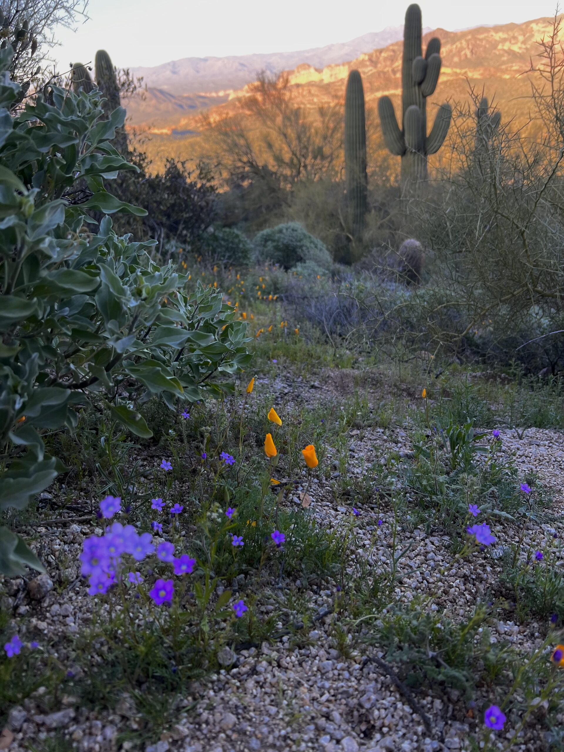
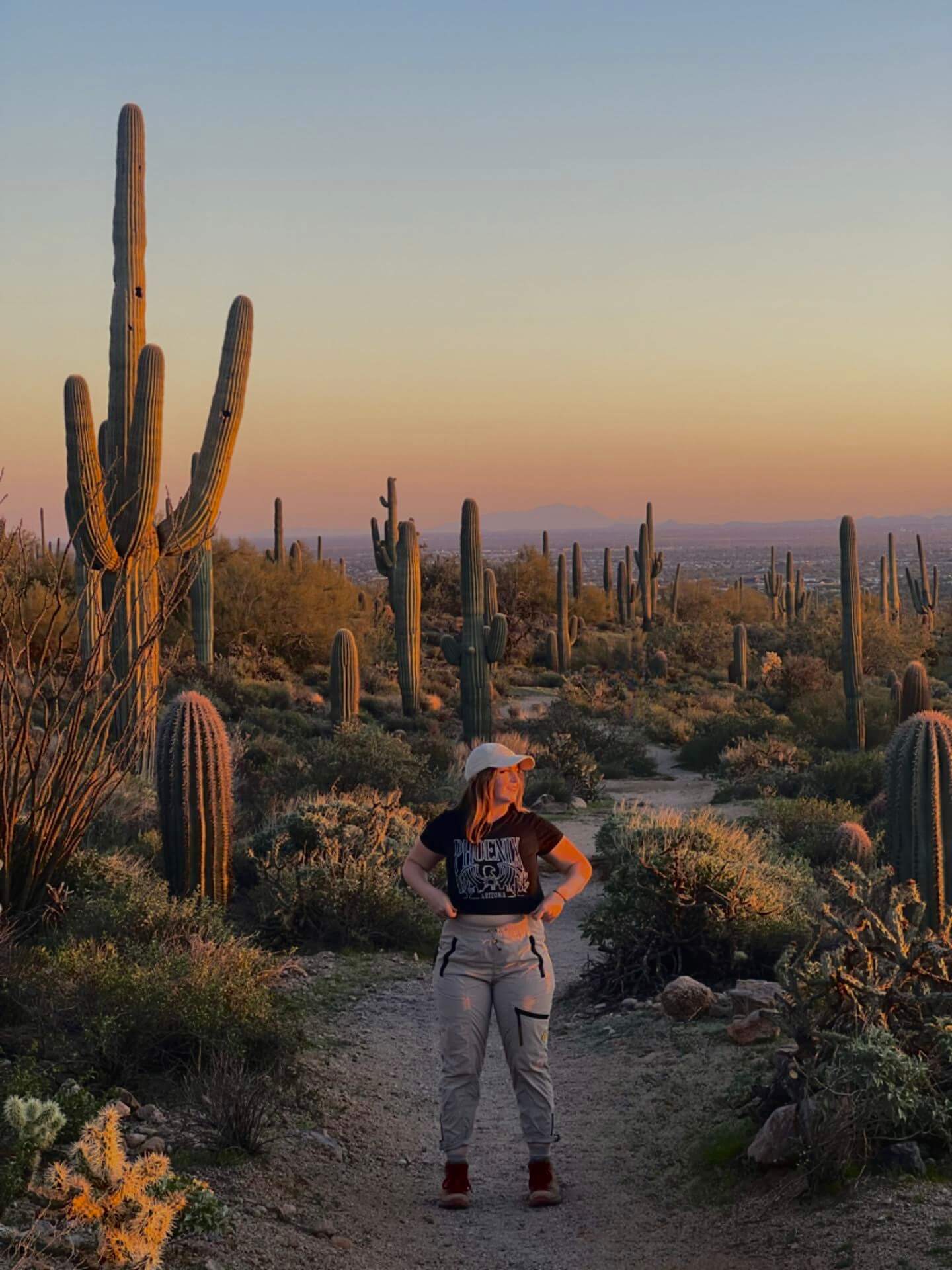
After hitting the Saddle, you’ll be hiking downhill for the rest of the hike which is nice. You’ll love the views of EJ Peak, Four Peaks, and the Goldfield Mountains from the back of the mountain. By the time we got to the front of the mountain, it was golden hour- my favorite. I LOVE how the front of Usery Mountain (or Pass Mountain) is just full of beautiful Saguaro cacti. It’s so fun to walk amongst all the beauties.
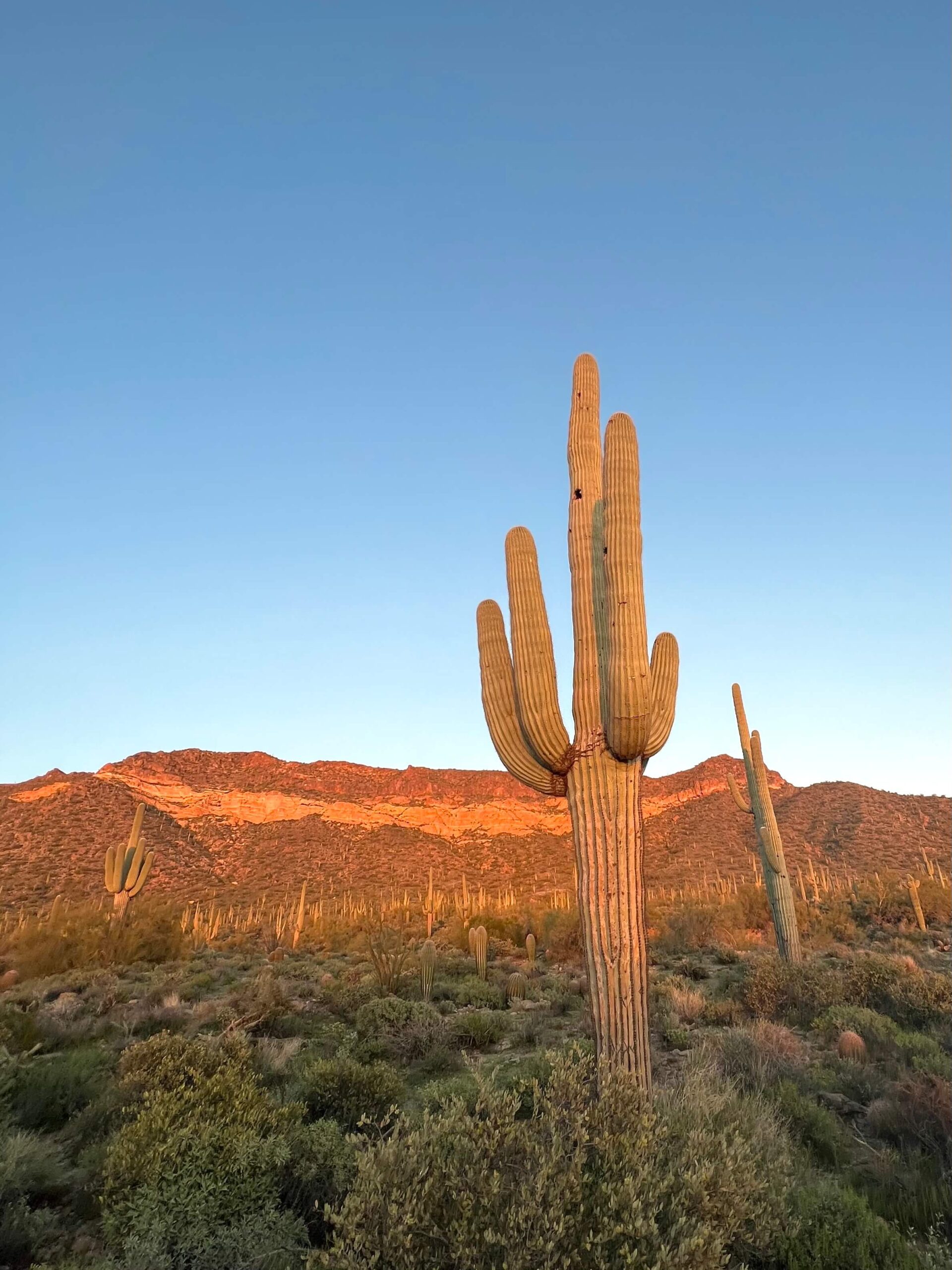
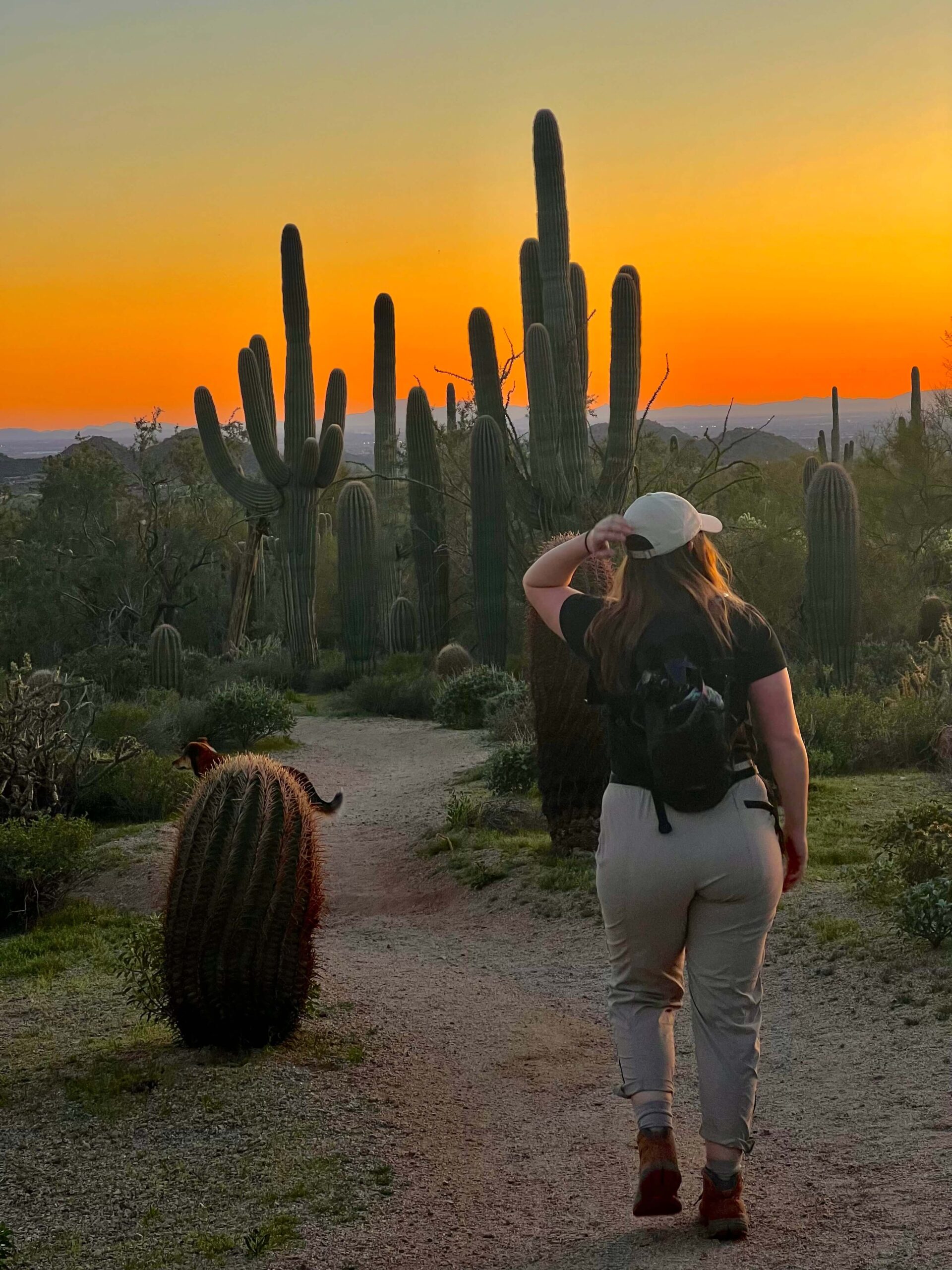

This hike takes anywhere between 2.5-3.5 hours. We started at 4:00 and finished at 7:15. Sunset was at 6:30, which means after we saw the sunset in front of Pass Mountain, we had to hike in the dark. I knew this ahead of time, so we came prepared with lighting and extra food and water. If you hike with a dog, protect them from coyotes by keeping them on a leash around sunset.
HIKING AT NIGHT?
A headlamp is NECESSARY. Get these $20 2-pack rechargeable headlamps with 1200 lumens. Your iPhone flashlight is not enough!! Dog Hack: put a headlamp around your dog’s neck like a collar!
By the time this hike was done, we were SORE. It wasn’t very strenuous in terms of the incline, but it felt long! This loop is a great opportunity for endurance training. I feel it would also be a perfect trail to take with a friend you need to catch up with.
FINAL THOUGHTS
I hope you enjoyed my post. Please leave questions or comments below. I feel this trail is perfect for people looking for a good endurance workout with great views. Here are a few other posts you may be interested in.
How to Hike to the Tallest Point in Maricopa County: Four Peaks
Best Dog-Friendly Hikes in Phoenix


