How to Hike to the Highest Point in Maricopa County: Four Peaks
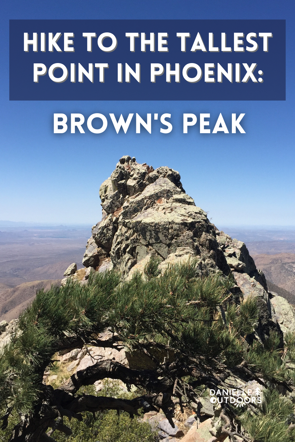
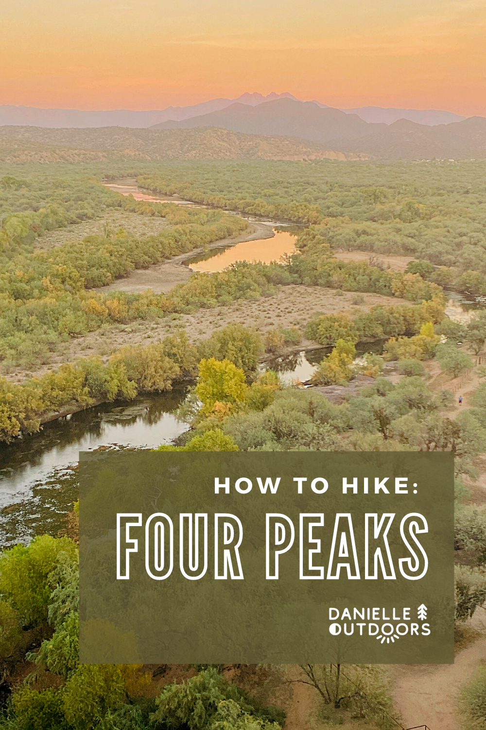
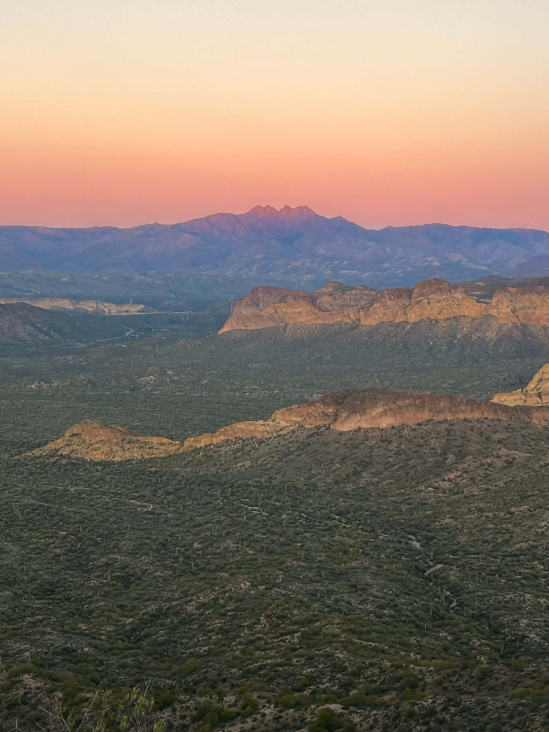
Did you know Four Peaks is the tallest point in Maricopa county? This mountain range, named by its distinctive four separate peaks, is northeast of Phoenix and tops out at 7,659 ft. Many don’t realize you can actually summit the tallest peak, named Brown’s Peak. It is accessible via 4WD dirt road and can be climbed in 4.7 miles round trip, which we will be reviewing in this post. In my opinion, the Four Peaks range is one of the most beautiful peaks to see at sunset, and one of the most adventurous hikes to accomplish.
Disclaimer: This post does include affiliate links, at no extra cost to you.
WHERE IS FOUR PEAKS?
Four Peaks Wilderness is located Northeast of Downtown Phoenix. It spans miles and miles of wilderness from Mesa, Arizona to Roosevelt Lake. The exit to Brown’s Peak Trail on Four Peaks is only about 30 minutes from Central Phoenix, but there are another 30 miles of dirt road to get to the trailhead itself.
DRIVING TO FOUR PEAKS
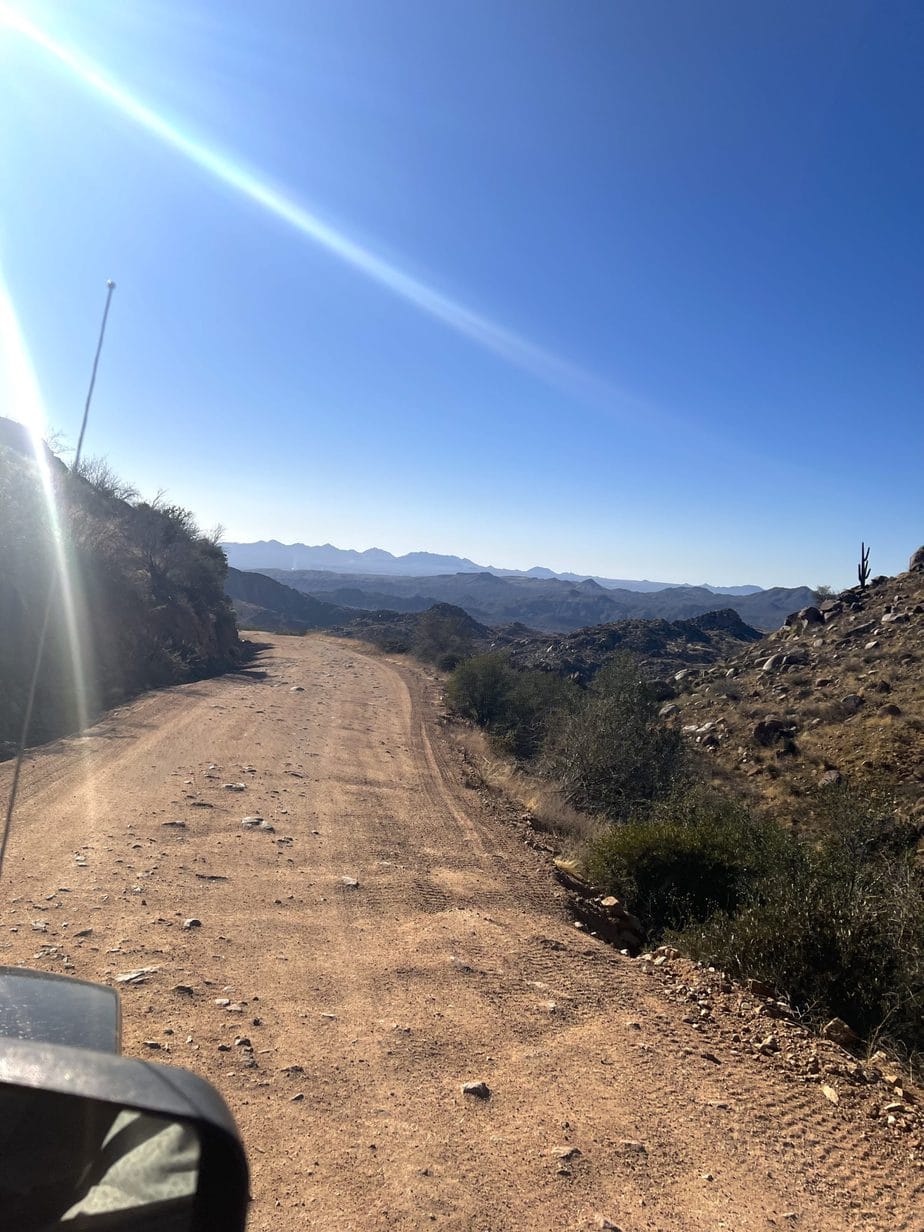
You can drive to Four Peaks, but you NEED a high-clearance, 4WD vehicle. This isn’t just a recommendation, it’s a must. We took my jeep and didn’t use the 4WD setting because it was dry at the time, but I wouldn’t go up without this drive setting. Our friends had a Ford Ranger Truck and even had to stop 3 miles before the trailhead to jump in our car because they were skidding too much and couldn’t get up the rocks.
You will be sharing the road with Razors, Dirt Bikes, and other offroad vehicles. When you exit Highway 87, there are about 25 miles of dirt road. There are times when you can drive 20-30 mph, but most of the time I was driving about 10mph due to all the rocks and the divots in the road. It took us 1.5 hours on the dirt road, so about 2 total to the trailhead.
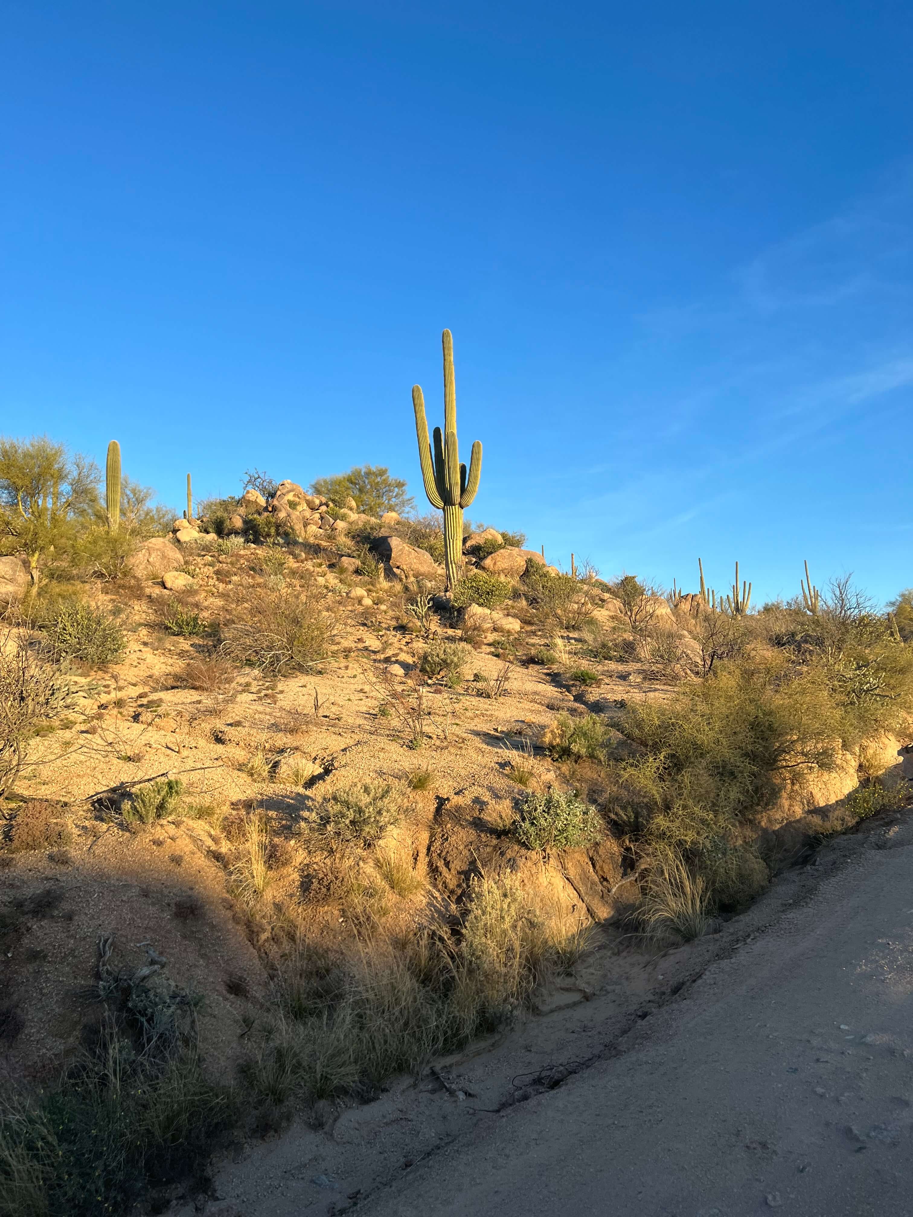
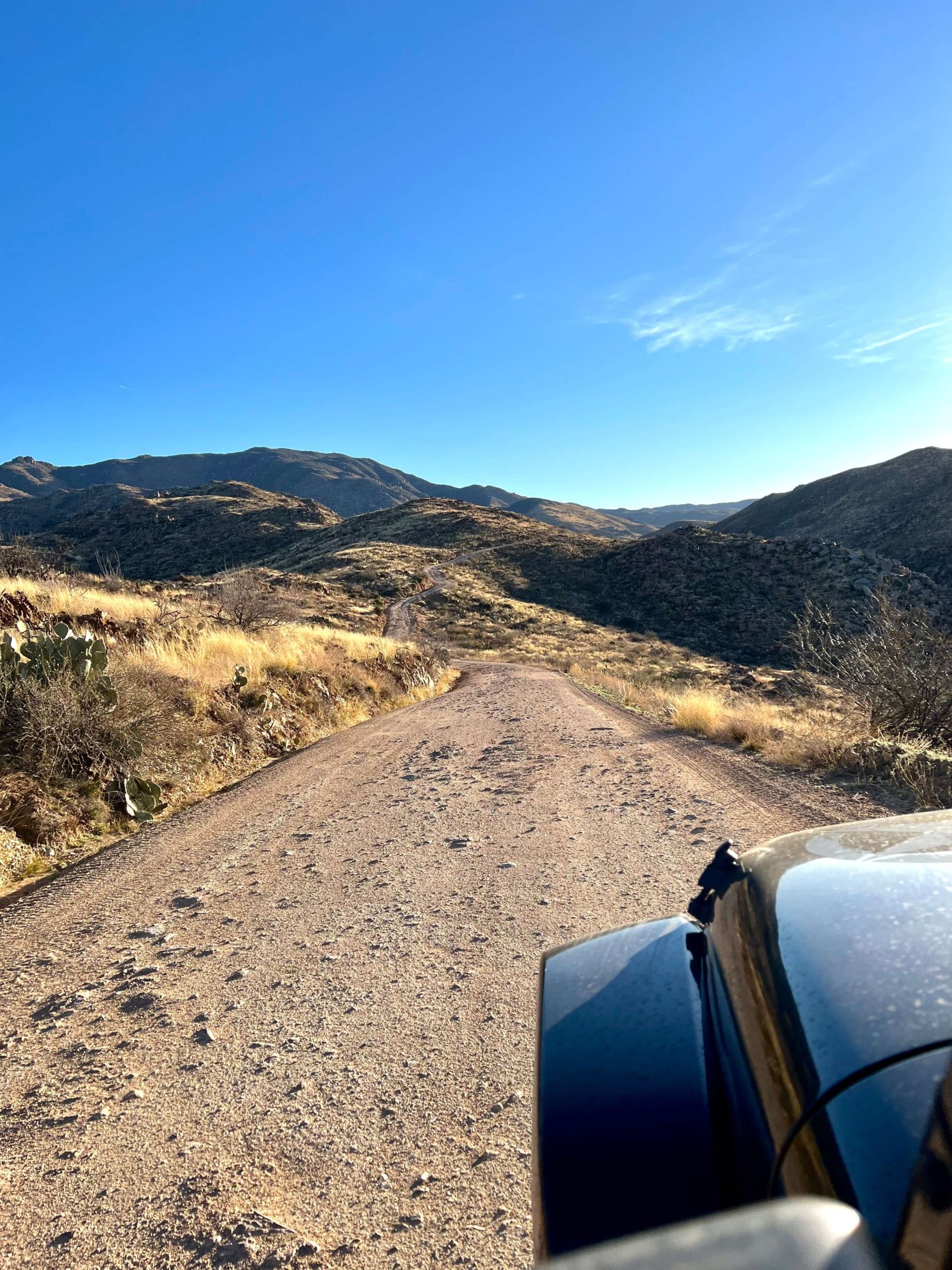
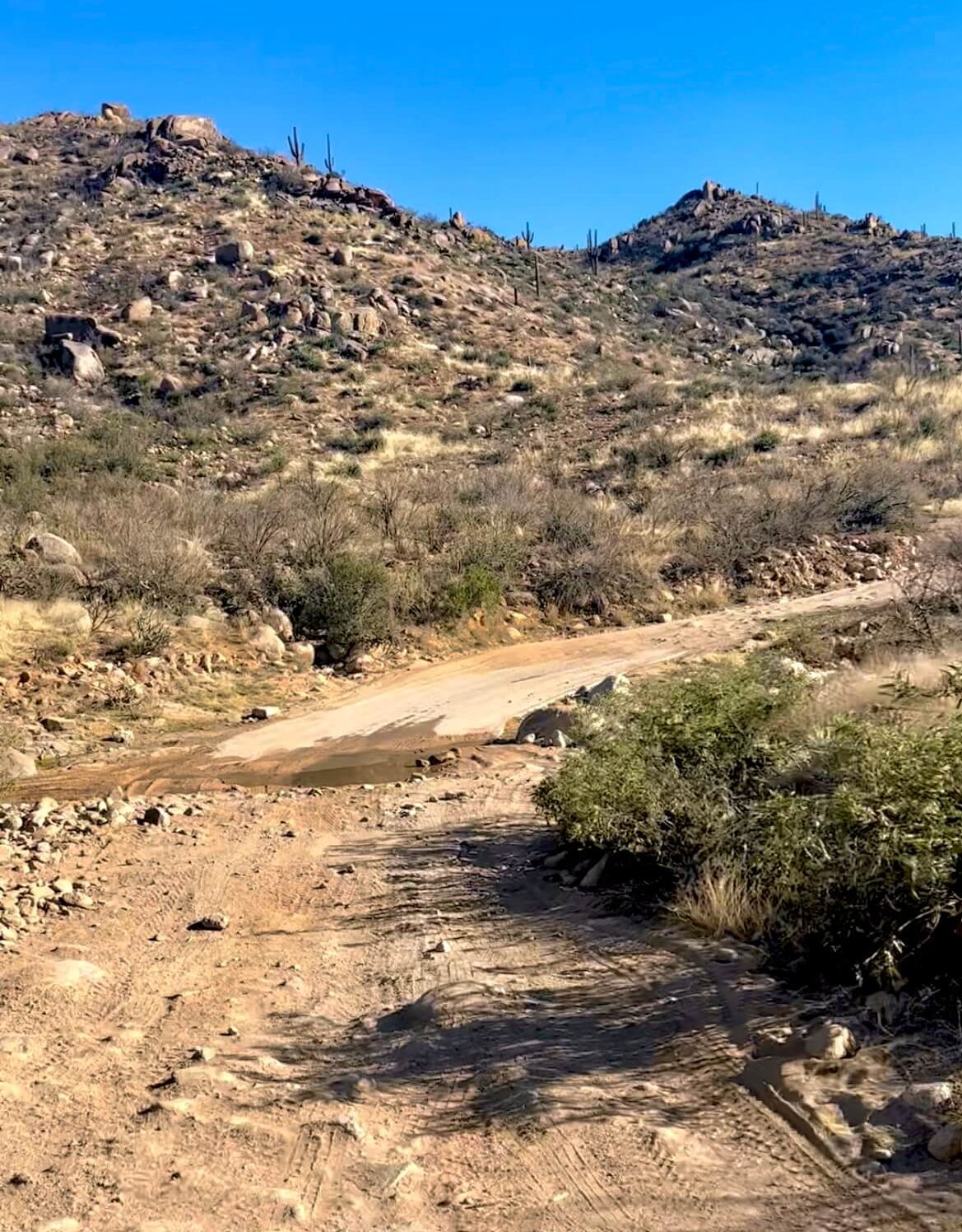
There are a few washes on the trail, which were low when I went, but I would be cautious about going even a few days after a big rainstorm or monsoon. The roads were a lot worse than my photos could even show- trust me!
Note: Do not take any side roads. There aren’t many, but if you see a numbered sign to the right or left, don’t take it. Just stay on the main road. One of these turn-offs is at mile 4 on the left- it can be deceiving, but go past it.
At the end, you will make a sharp right onto Pigeon Springs Road and you will soon see the small parking lot- you made it!! We weren’t in a rush that day and just enjoyed the crazy ride, but some people might not enjoy this drive.
HIKING TO THE TOP OF FOUR PEAKS
Congrats if you’ve made it up the road to this point. As I mentioned before, there are 4 main peaks, and Brown’s Peak is the tallest. This is also the peak that has a maintained trail to the top. Let’s go over what you should be expecting when climbing Four Peaks.
Brown’s Peak Hike
Distance: 4.7 mi total/roundtrip
Elevation Change: 1909 ft
Difficulty: Hard
AllTrails Name: Brown’s Peak via Brown’s Trail
Duration: 5+ hours
Location: Four Peaks Wilderness
Dogs Allowed: Yes
Dog Friendly: No
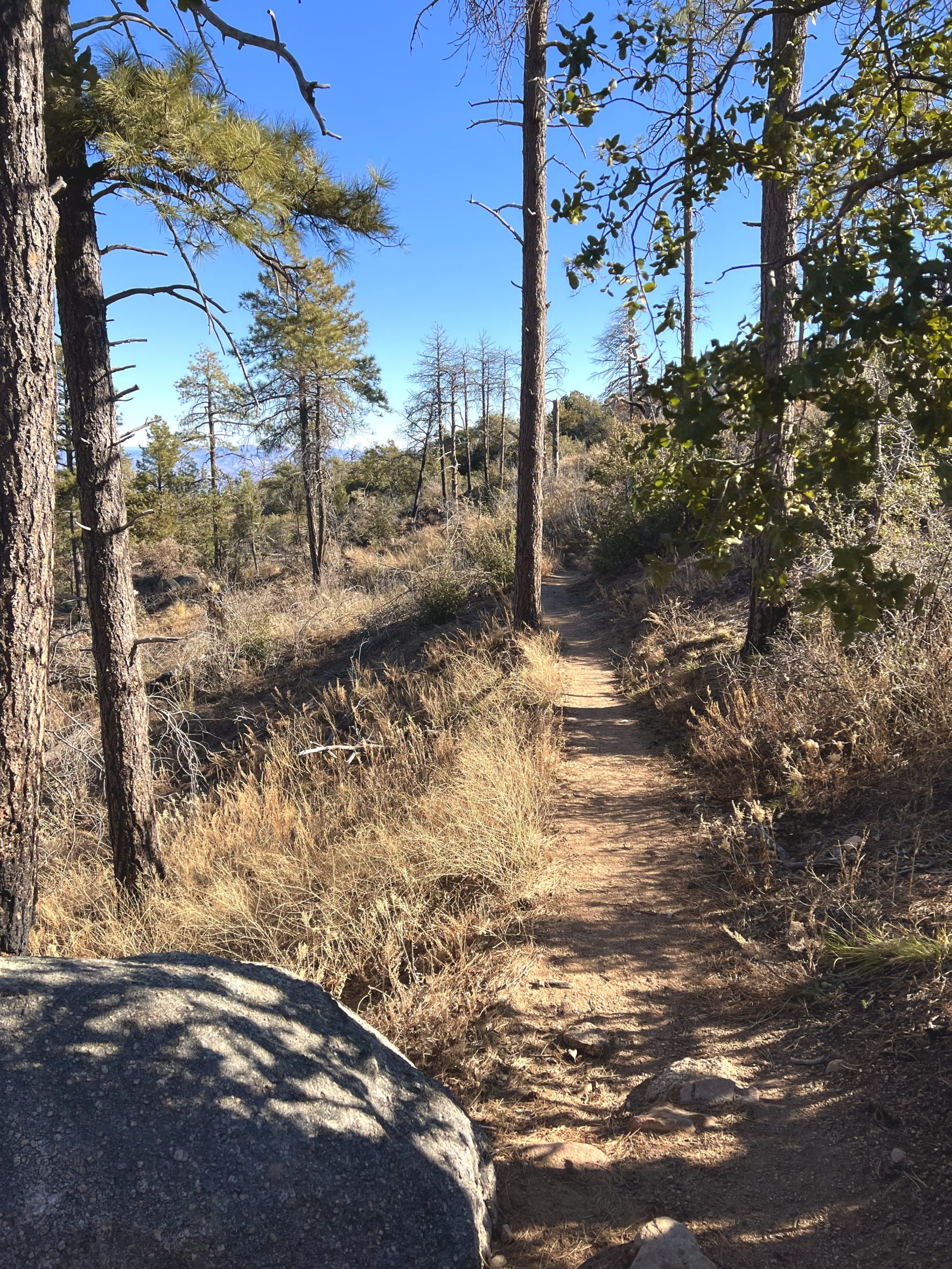
Your hike will begin with a nice and easy walk through the forest. You’ll pass by some fun rock structures and be able to talk to your hiking buddies without huffing and puffing (yet, haha). Within a few minutes, you’ll be able to see Roosevelt Lake to the East. Within the first 2 miles of the hike, you gain 1,100 feet in elevation- but it is a slow and steady grade.
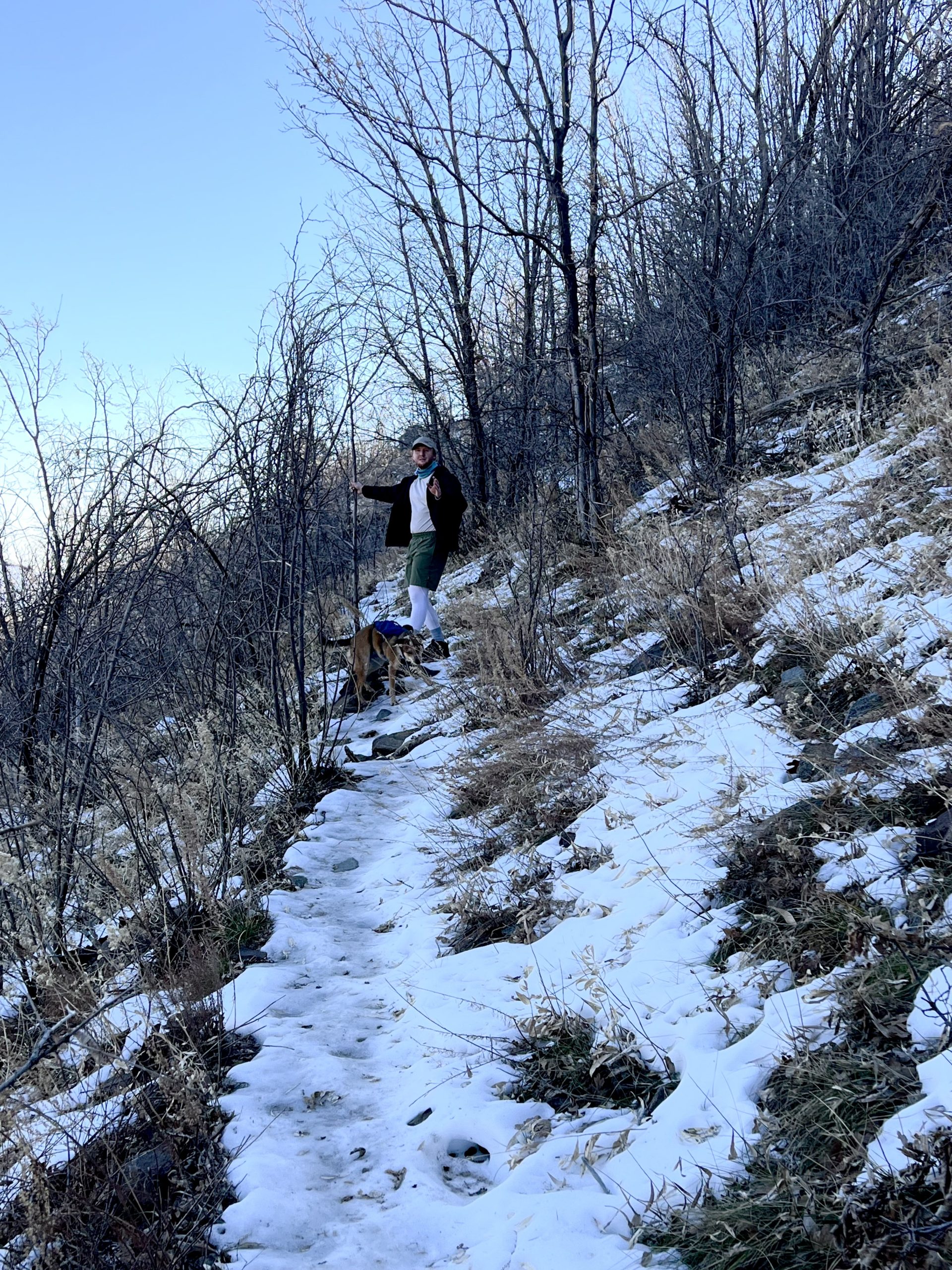
The first time we hiked this trail, it was a warm and sunny day in March. The second time we hiked, it was a cold, windy day in February. If you are hiking in the winter months, be aware of the weather conditions. For a small strip of the trail on the north side of the mountain, we encountered ice and had to walk VERY carefully to avoid the steep cliff next to us. I’ll also note that this trail is pretty narrow with some sharp bushes on both sides- I would suggest long pants for this reason.
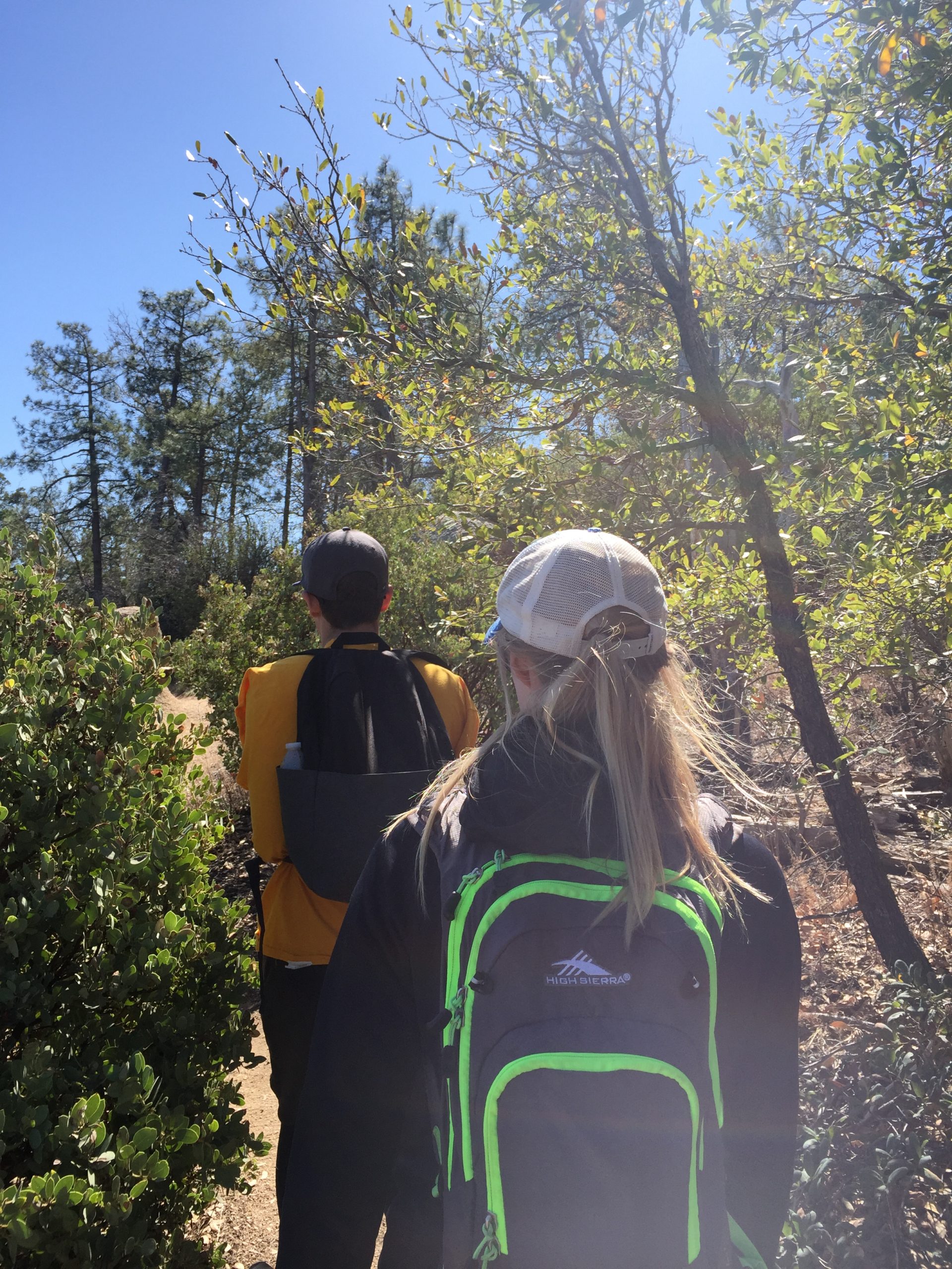
When you notice the trail getting steeper, that means you are close to the saddle! Soon you will see an intersecting trail (amethyst mine trail) to the left- keep walking past this. When you hit a plateau with views in all directions, you’ve hit the saddle. Relax and grab a snack, this is the 2-mile mark, and the rest of the hike is more difficult!
The Saddle

When you reach the saddle, you’ll be able to look up and see your destination. In the photo above, I pointed to the “chute” that you will climb to summit Four Peaks. From this point, you will climb about 800 feet in 0.3 miles- yikes! Up until this point, the trail is very dog-friendly; however, the chute is not very dog-friendly. My pup is an experienced mountain dog and we were comfortable taking her up. Make sure you consider this when taking your furry friend. Okay, let’s keep climbing.
You will climb switchbacks and soon transition from trail to rock climbing. Please wear proper hiking shoes/boots if you go up here- your daily sneakers won’t do you much good and will be more dangerous! Here are my favorite hiking boots. Soon, to your right you will notice a large rock tower- between here and the mountains to the left is where you need to go.
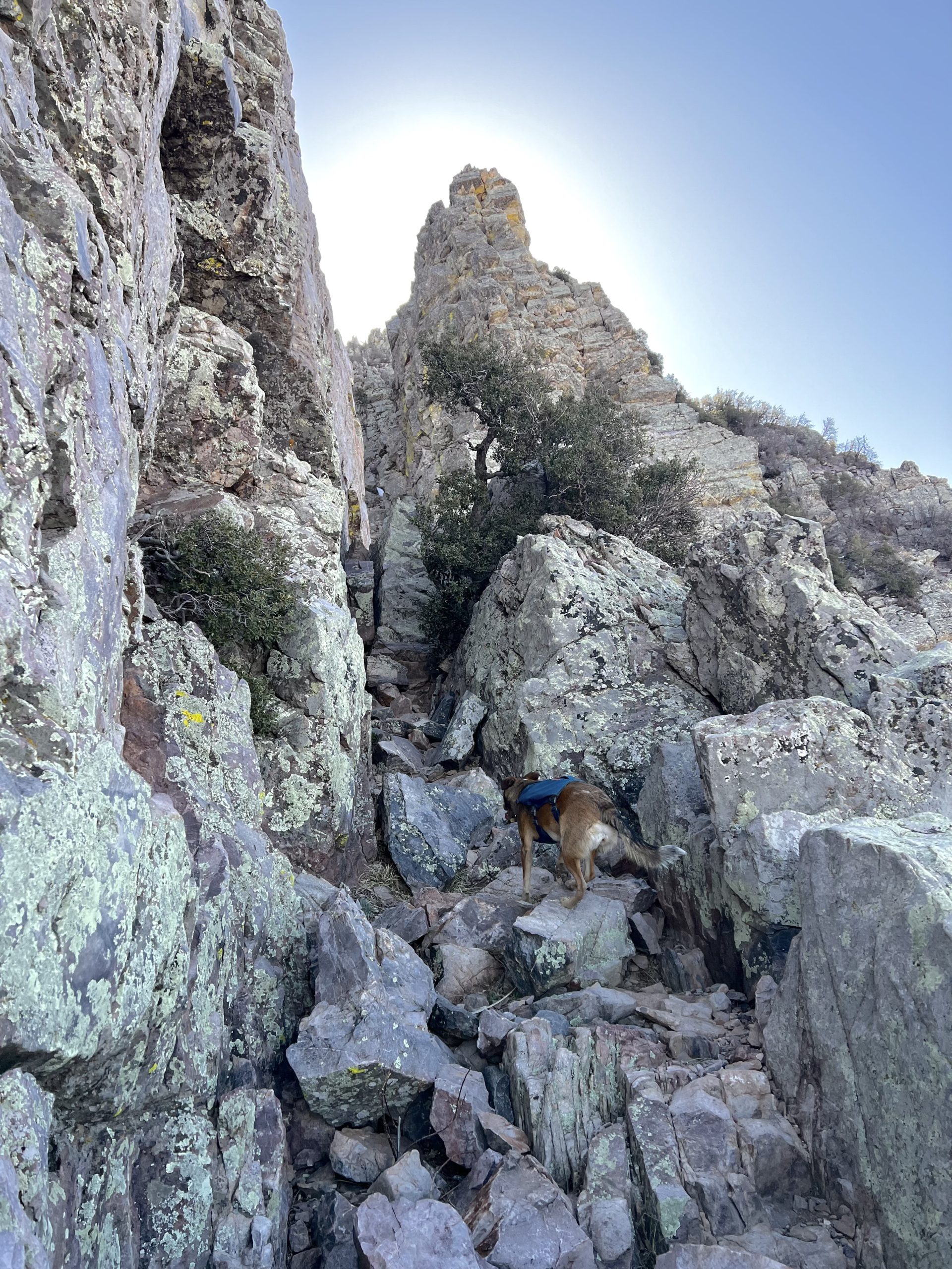
THE CHUTE
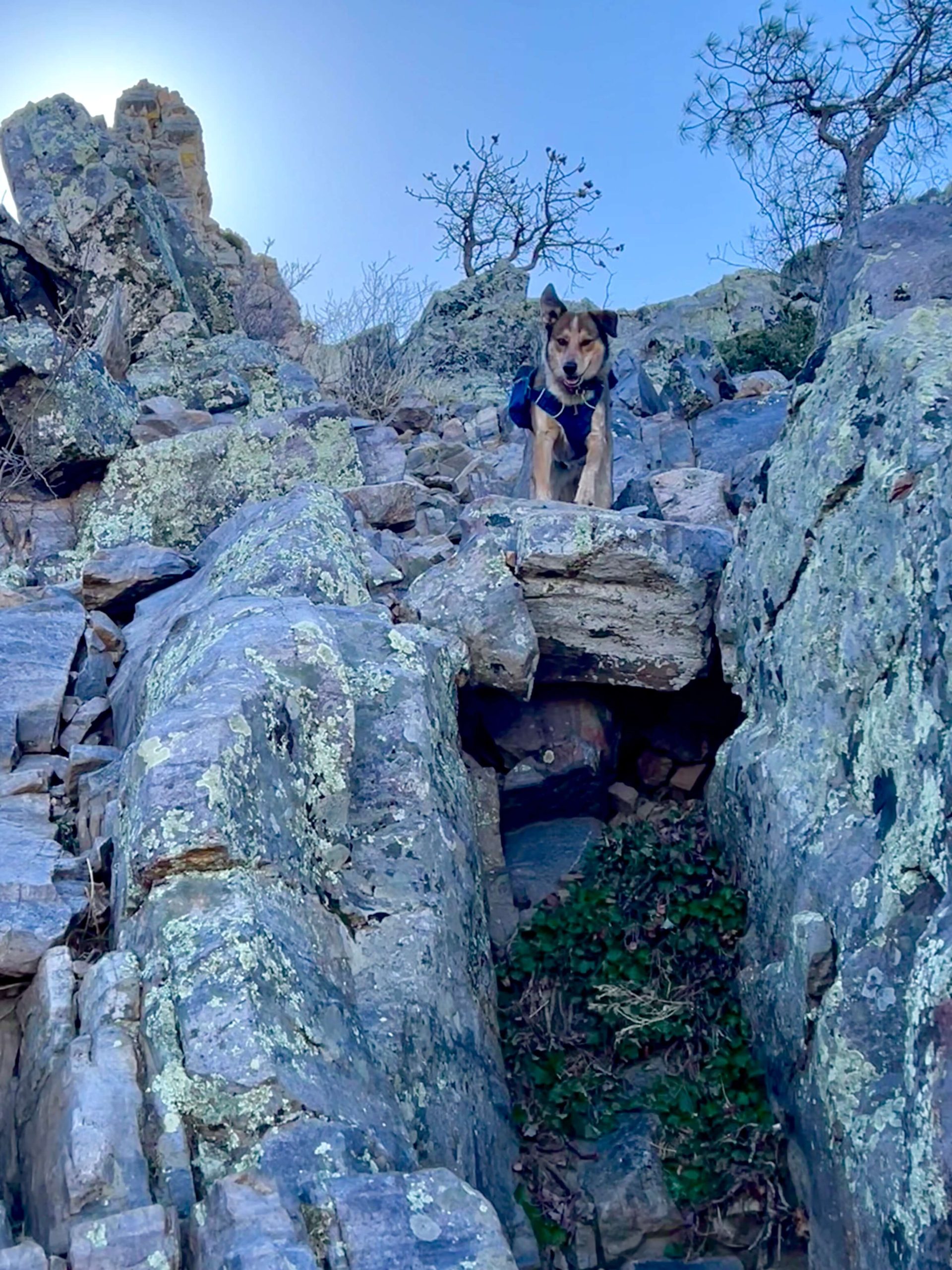
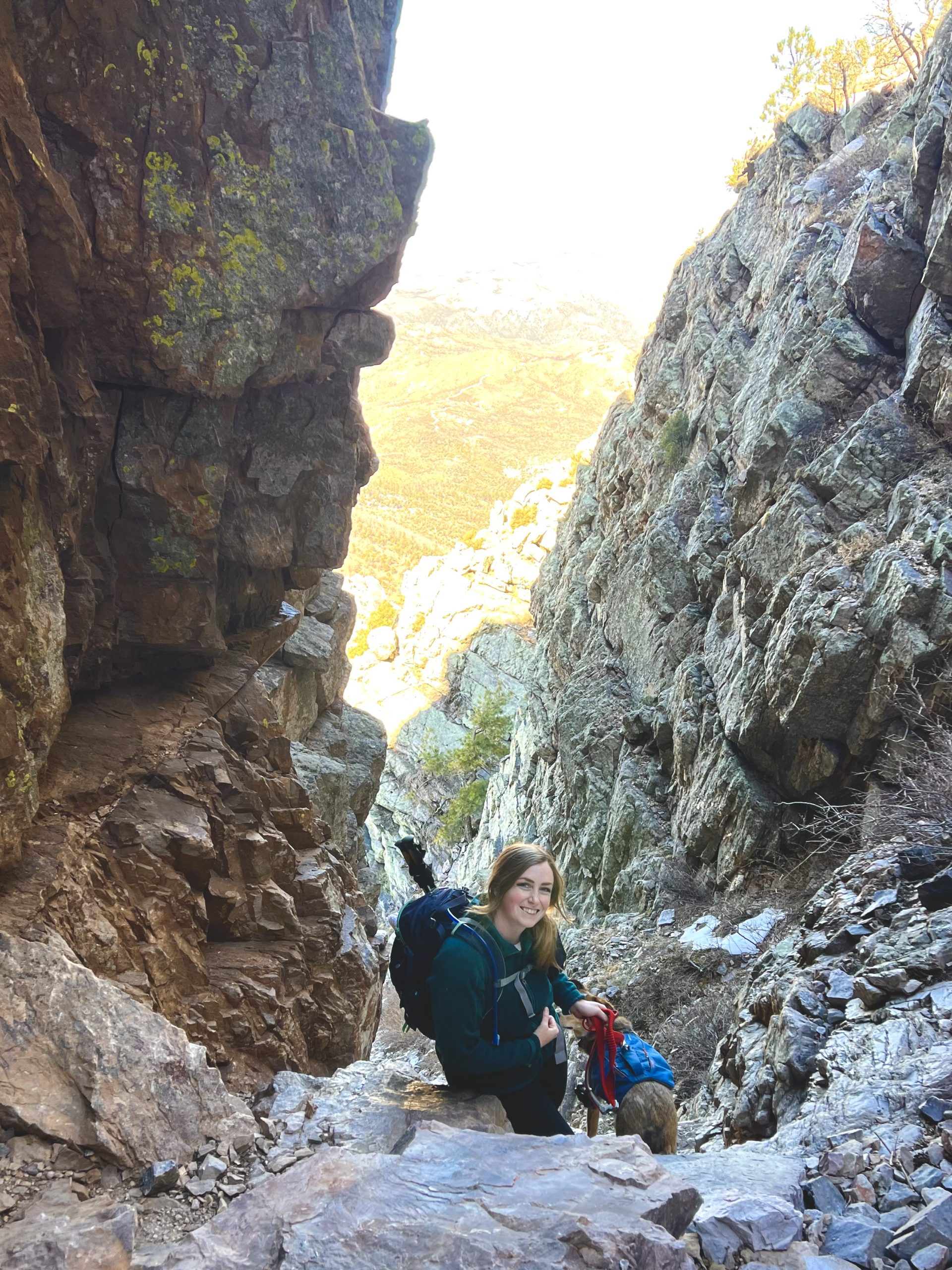
Right in between the rock tower and the mountain cliff in the photo above is one of the most difficult and scary areas to climb- we had to be very careful with my dog here. There’s an area where you need to cling to the mountain on the left, as there was a 10+ foot drop to the right. Once you get past this, you’ll look up to see the chute. You’re so close to the top here, but there’s lots of climbing to do!
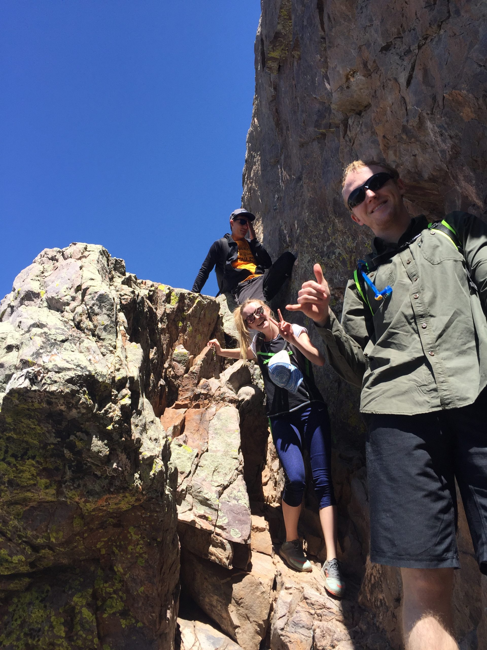
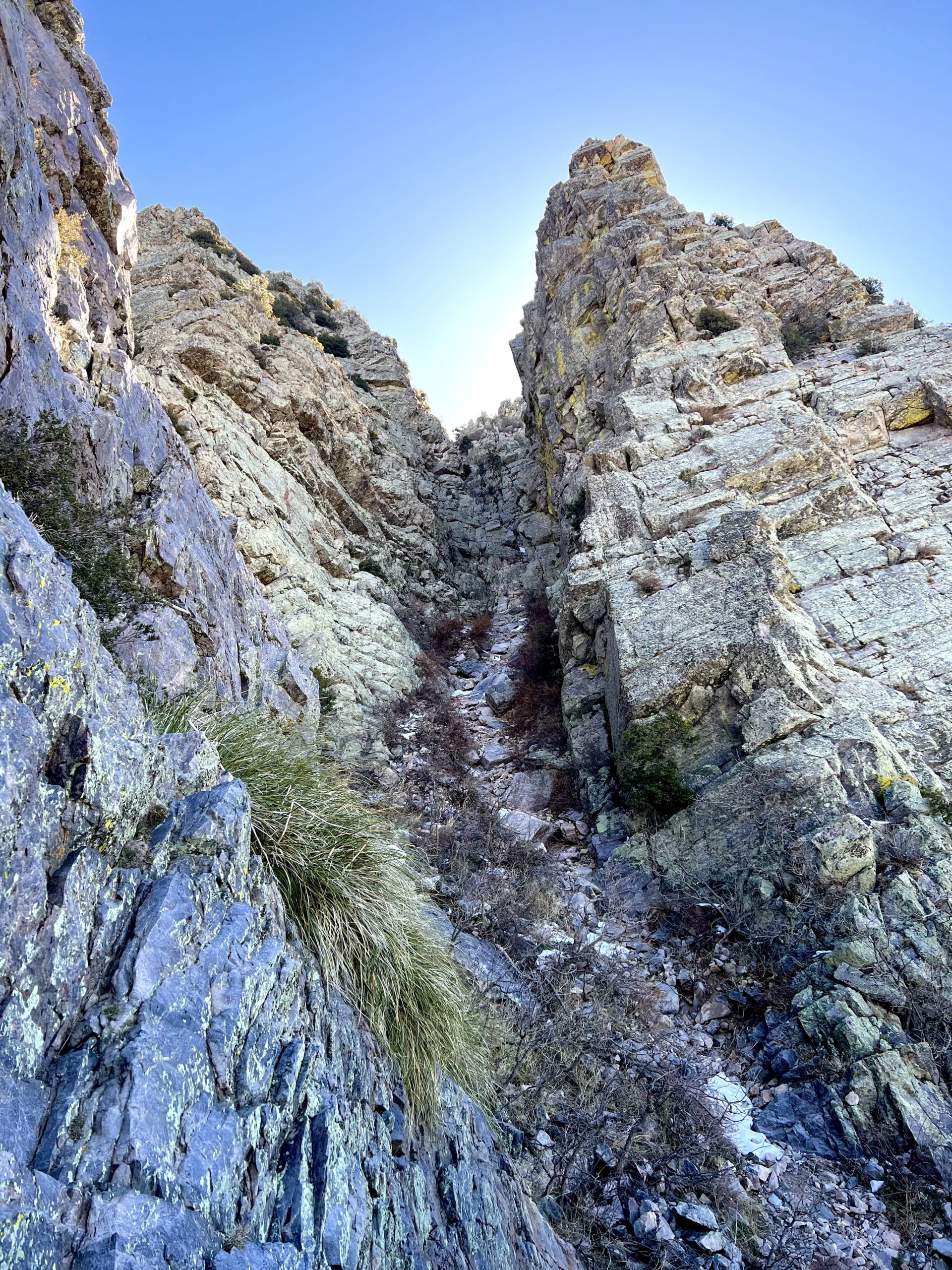
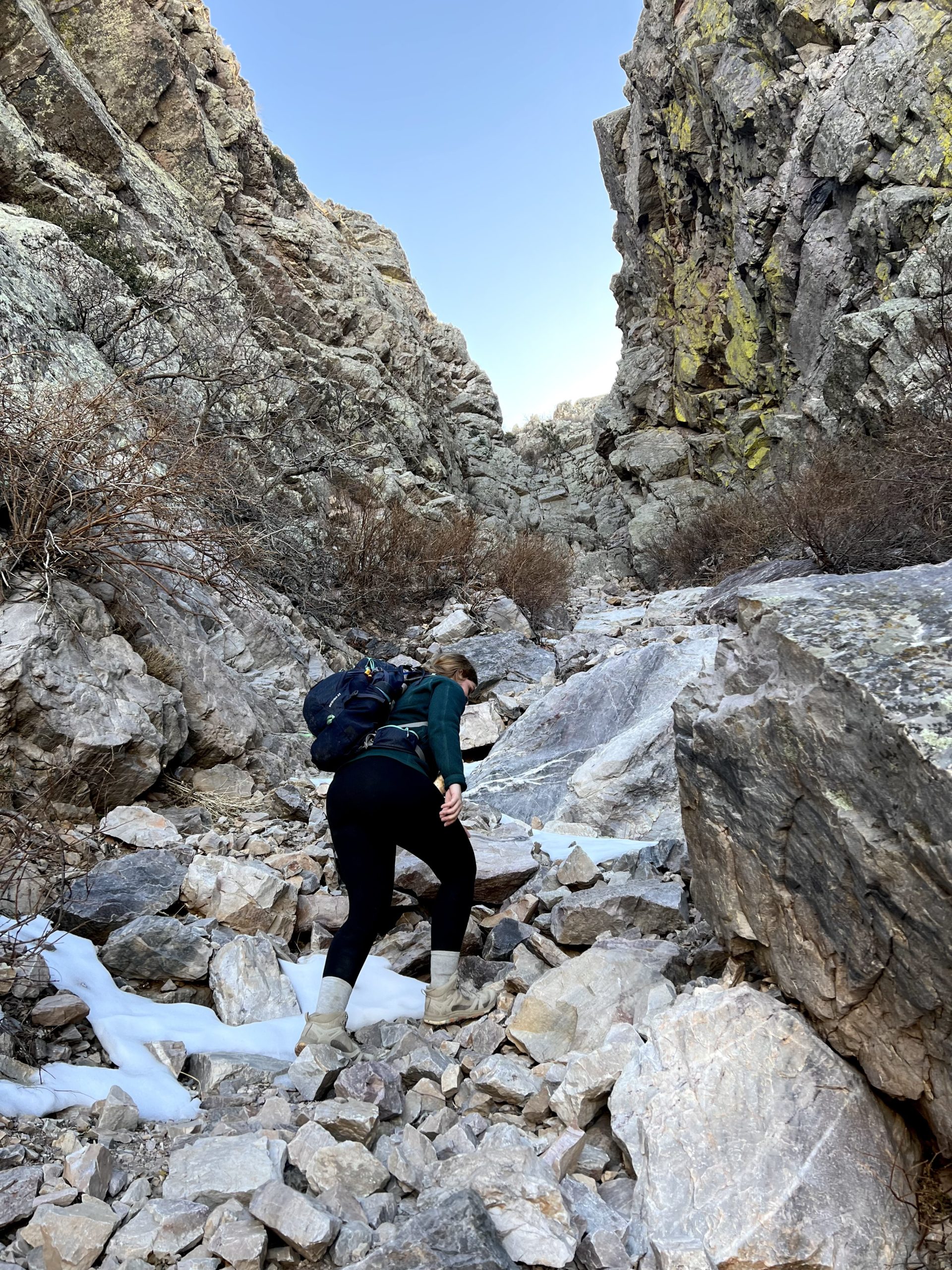
Make sure you take your time going up Four Peaks. There were maybe 3 areas where we had to lift our dog up going up, otherwise, she hopped up herself. In my opinion, going down is a lot more difficult than going up. There were a few patches of ice in the chute when we went, but you could easily walk around it. I would NOT recommend this hike when the peaks are covered in snow- there’s no way you could get up the chute without ice gear, and still then I wouldn’t do it.
When you get up to the point where you start seeing sunlight at eye level, you’re close to the top. You will need to go LEFT/NORTH to get to the final peak.
THE SUMMIT OF FOUR PEAKS
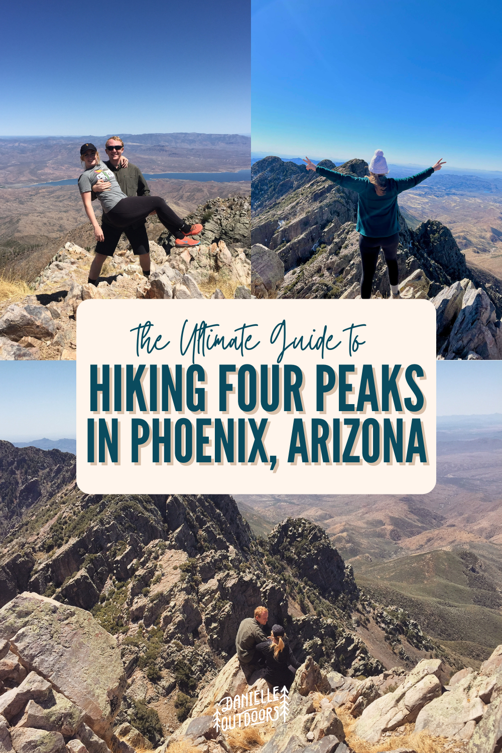
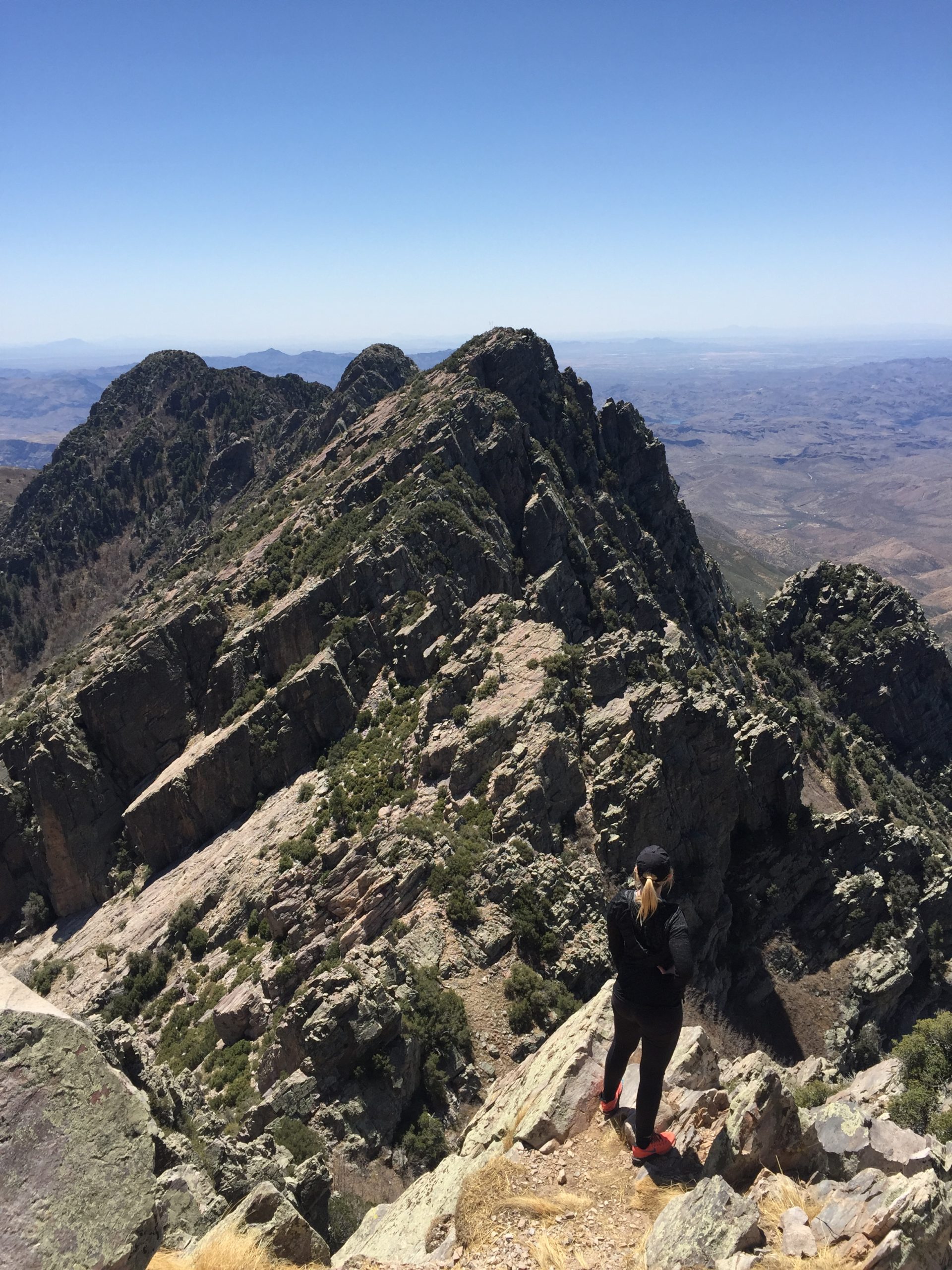
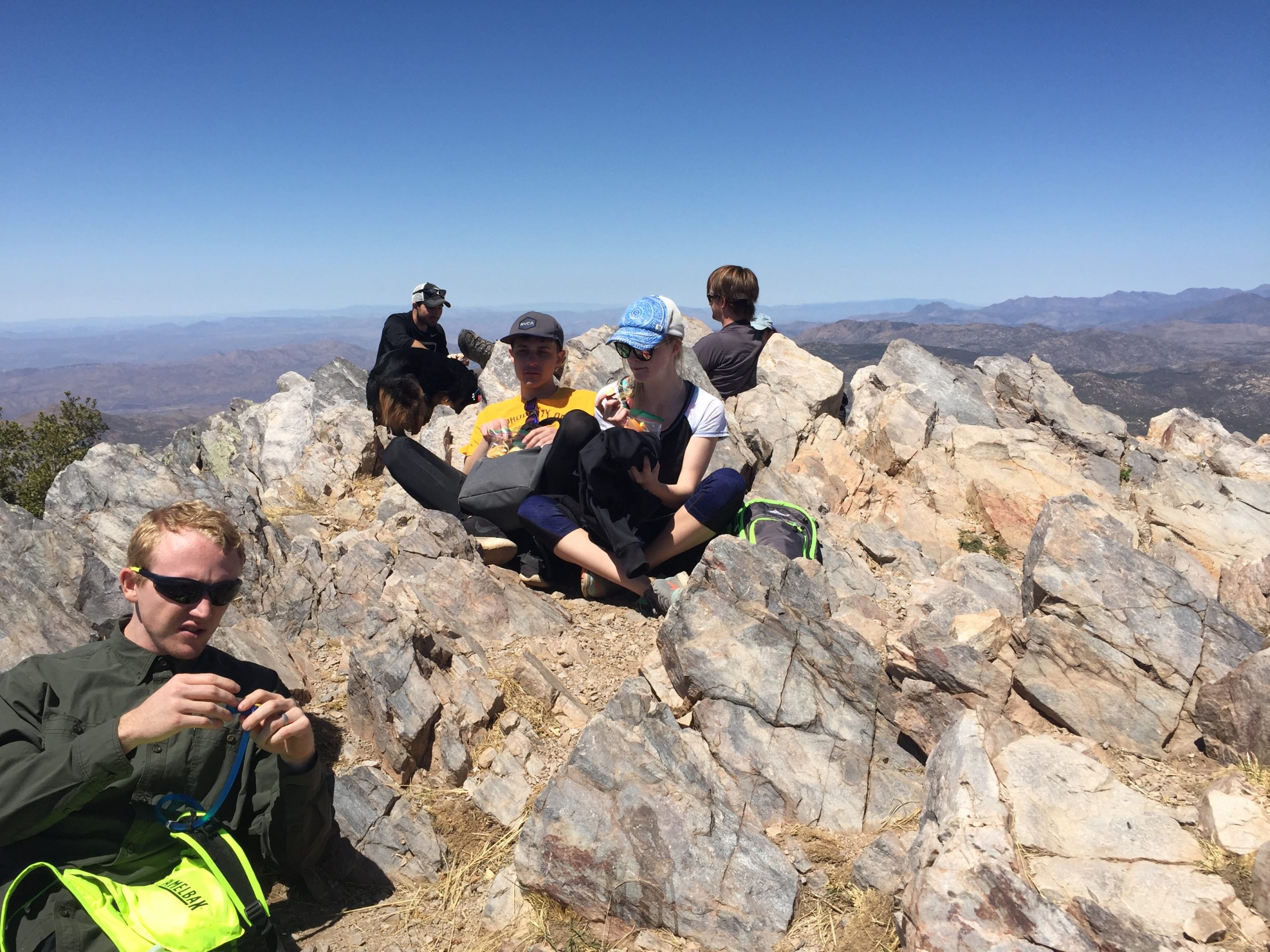
The most rewarding part of every hike is the Summit. The views from the top of Four Peaks are amazing. From here, you can see the other 3 peaks to the South, the city of Phoenix to the West, and Roosevelt Lake to the Northeast. It’s pretty rocky at the top, but you can find a new flat rock to take a seat and eat a snack before heading back down.
We were gone from home for 9 hours, so make sure you pack enough for a full meal and lots of snacks. I filled my Camelback with a full 3 liters of water, and I did drink it all. Please come prepared. If you made it to the Summit of Four Peaks, congrats!!

On your way back down, please be careful. It’s a lot harder on the joints and a little bit more dangerous. We took our time and enjoyed the journey. You will be SOOOO excited to see your car at the end.

SUMMARY
We spent 2 hours driving each way plus about 5 hours hiking round trip, so a 9-hour trip! It was long, but it feels amazing to accomplish the highest peak in the Phoenix Area- Four Peaks.
Here are a few tips:
- Don’t drive without a 4WD/ high-clearance vehicle and be comfortable going through washes
- Bring My Hiking Sticks and a Camelback to be hands-free when going up steep inclines.
- If you’re with a small group, bring this tripod and iPhone attachment for photos
- Go during daylight. Sunset and Sunrise are pretty but it’s a pretty intense hike and I would NOT want to be in the chute at dark.
- Do research ahead of time. There’s limited service in the area, so download your AllTrails map ahead of time and take photos of this blog to use on your trip!
