Hiking Picacho Peak in Arizona During Wildflower Season
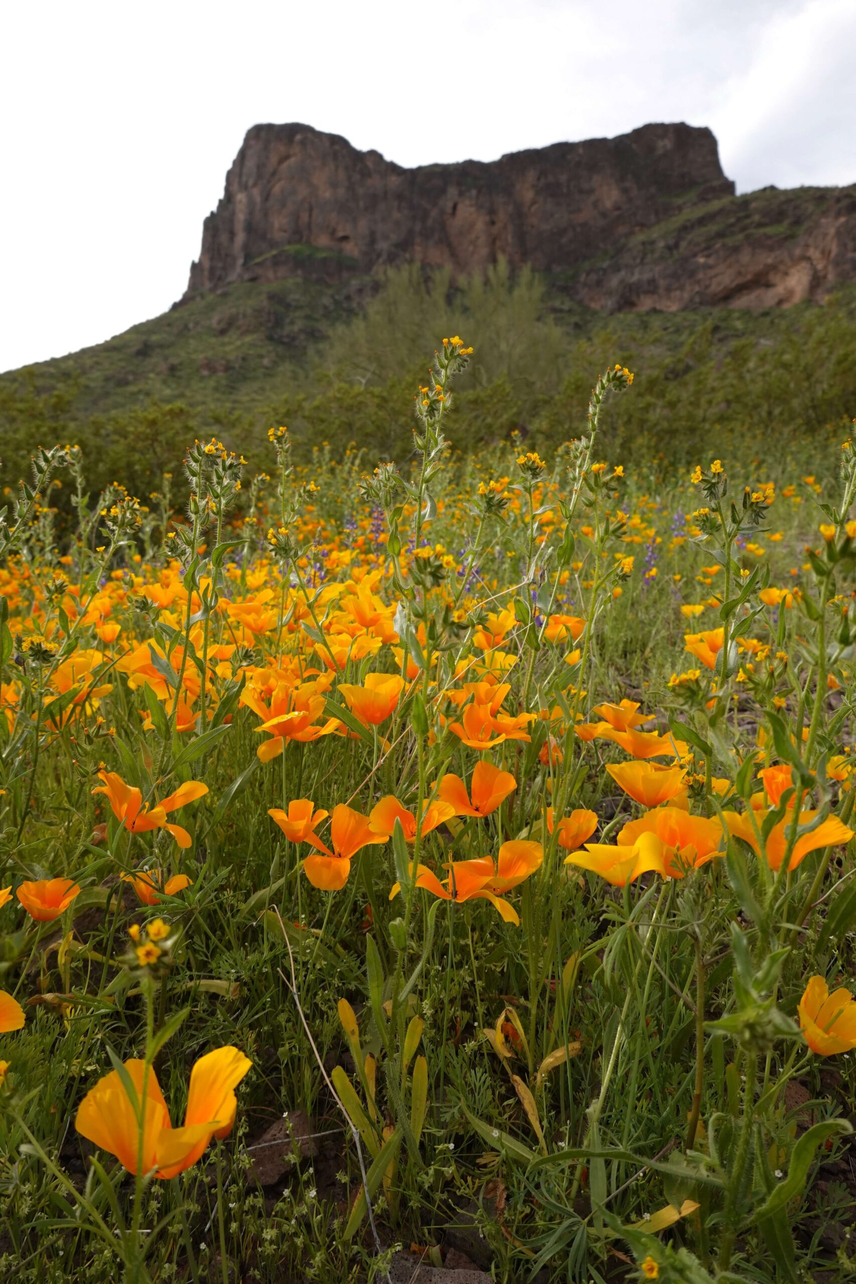
Part of the fun of hiking is tackling those bucket-list, difficult, and slightly scary mountains with epic views. Phoenix has PLENTY of these, so buckle up! One of these epic hikes is Picacho Peak, south of Phoenix on the I-10 towards Tucson.
In Arizona, our “hiking season” is the opposite of the rest of the country. While most people brace for cold, snowy winters to hike from May-September, we hike from October-April and hide inside during the Summer, haha. Picacho Peak is a great WINTER hike.
It is also a well-known spot to peep Arizona’s Wildflowers. The wildflower blooms happen at different times and in different quantities based on winter rainfall, but Pichacho Peak has PLENTY of dormant flowers. We were lucky enough to hike during a “Super Bloom” in March 2023.
Why Should I Hike Picacho Peak?
You should hike Picacho Peak if you’re looking for an EXHILIRATING CHALLENGE. This hike is rated “hard,” and it was, but it’s plenty doable. I saw people of all ages, shapes, and sizes up at the top. I DON’T recommend this hike for people with a severe fear of heights.
If you’ve hiked in Phoenix before or you’re from the area, Picacho Peak is similar to Camelback Mountain and the Flatiron Hike in the Superstition Mountains. If you’ve done those hikes, you can finish Picacho Peak. I don’t recommend bringing dogs (and you CAN’T past the halfway mark), babies/toddlers, or the elderly with you. You will need to climb with all fours at times.
PICACHO PEAK IS AN EXHILARATING, TECHNICALLY CHALLENGING HIKE WITH GREAT VIEWS.
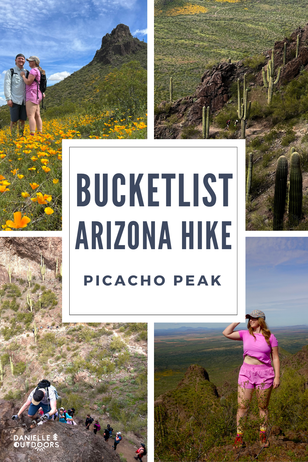
Before you keep reading, here’s a short insight into what to expect on your hike up Picacho Peak!
HISTORY BEHIND PICACHO PEAK
I’m not overly into history myself, but I did find the history of Picacho Peak interesting. All the way back to 1700, Picacho Peak has been used as a landmark and a route finder. Mormons constructed a wagon route through the park in the 1800s. Also in the 1800s, there was a civil war battle called “Battle at Picacho Pass” in 1862- pretty crazy! It has been a State Park in Arizona since 1968.
Nowadays, it draws attention as the 1,500 ft peak towers over the I-10 between Phoenix and Tucson. You can’t miss it. I never knew you could climb it until recently! It draws many visitors each Spring to see desert wildflowers- if we’ve had the rain to support it.
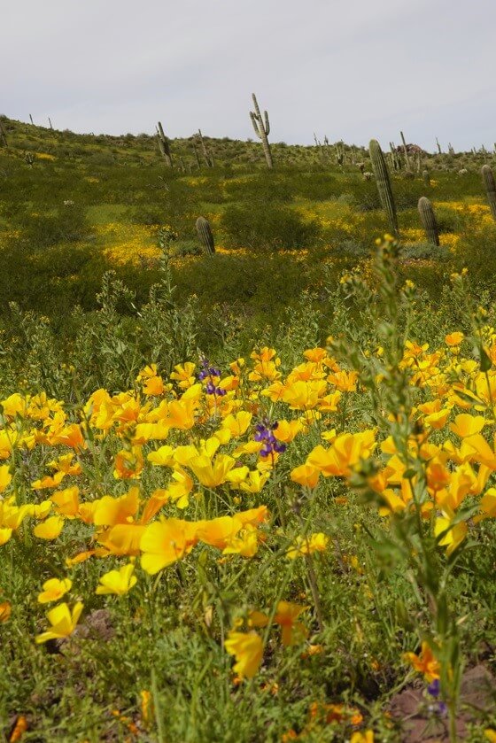
wildflowers at picacho peak
WILDFLOWER SEASON
Okay, we have to bring up the wildflowers for a minute, as Picacho Peak is a hot spot for them and draws many visitors. When we visited in March 2023, the ranger said this is the first time they’d had flowers since 2019 and they had their largest crowds EVER. The cars were lined up after our hike all the way past the entrance gate (probably an hour’s wait to GET IN).
Of course, mother nature does what it wants, but wildflowers generally peak sometime in mid to late March. I track wildflower status by looking at recent photos taken at Picacho Peak on Instagram, as well as following the AZ State Parks Wildflower Updates. Wildflowers are primary California Poppies, but I noticed a lot of purple lupines in 2023 as well.
PLEASE LEAVE NO TRACE. Meaning, don’t step on or pick the wildflowers. Other people want to enjoy them for years to come.
WILDFLOWER TIP
Track wildflower status on the Arizona Parks page HERE.
If you’re from Tucson or Phoenix, start hiking local trails Mid-February to get an idea of what level of bloom may be current at Picacho Peak.
Where is Picacho Peak?
Picacho Peak State Park is between Phoenix and Tucson, Arizona. It is about 36 minutes from Central Tucson, and 1 hr 20 minutes from Central Phoenix. It is directly off the I-10 highway. Since it is in a State Park, there is an entry fee, of just $7 per vehicle.
It is totally doable as a day trip from Phoenix. We considered making it a weekend and visiting Tucson, but sometimes I realize I try to pack weekends full of stuff and it becomes overwhelming. I loved our day trip to Picacho Peak.
WE LEFT AT 7 AM AND GOT HOME AT 2:30 PM.
CAUTION
As I mentioned, this is a DIFFICULT HIKE. If you decide to make the trek, prepare yourself by going with someone, telling someone else that you’re going, bringing a pack with at least 3L of water and snacks, and wearing shoes with proper traction.
WHAT IS THE BEST TIME TO HIKE IT?
Given this, hike Picacho Peak from October-April. If you hike outside this window, ONLY hike before sunrise. If this hike averages 3 hours and sunrise is at 530, I would start hiking at 4-430 at the latest. This sounds extreme, but it is HOT.
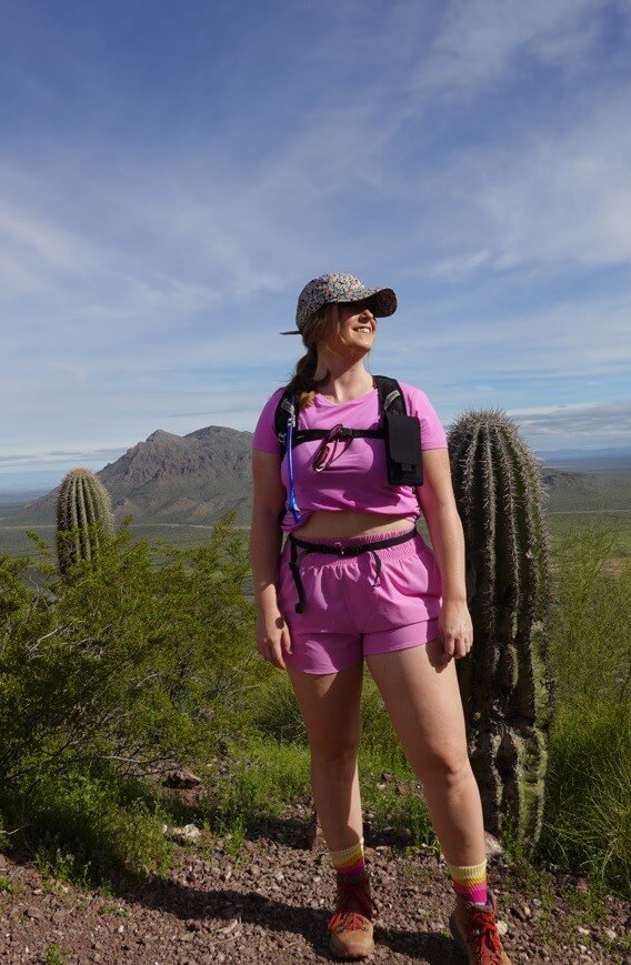
standing on the saddle of picacho peak
PICACHO PEAK HIKE INFORMATION
The trail you’ll go on, Hunter Trail to Picacho Peak Summit, is located on Barrett Loop just after entering the State Park Border.
HIKE STATS
HIKING PICACHO PEAK
Next, we’ll go through what you should expect at different parts of the hike with photos so you feel prepared. After you drive into the park, go on the Barrett Loop and park, and you’ll start hiking on the Hunter Trailhead. Since it is a State Park, it is really well preserved and trail signs are marked obviously.
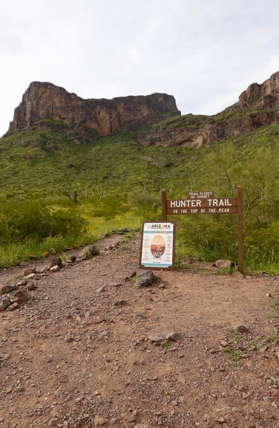
hunter trailhead to picacho peak
I personally love looking at the elevation profile of a hike before I go. It really gives you a good idea of what is to come and helps you to feel prepared instead of surprised in a bad way. AllTrails is my FAVORITE app for tracking and planning my hikes. AllTrails has a free option, but the Pro Option gives you the 3D planner which I am obsessed with. This isn’t an affiliate link but click here to join.
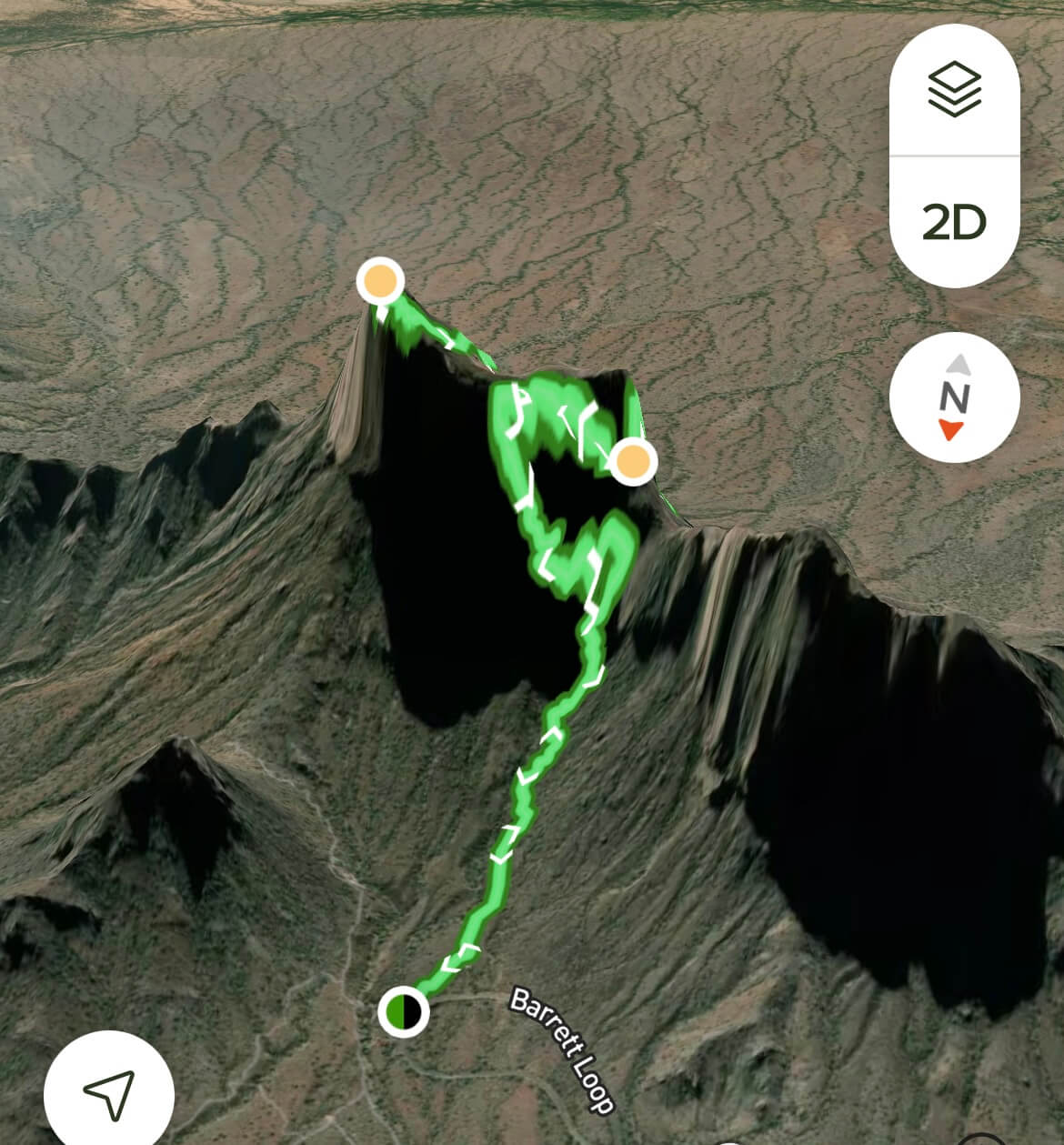
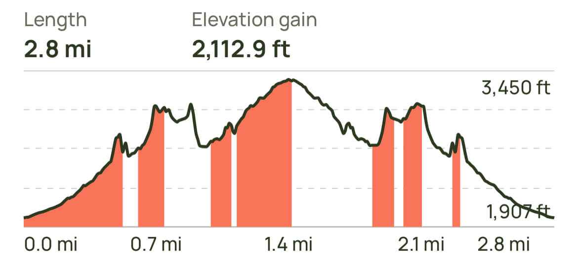
The start of our hike was full of beautiful wildflowers. They soon dissipated as we went up in elevation and the terrain became more and more rocky. You can tell on the elevation map above that there really aren’t any flat parts- it is just up and up and up some more. This part of the hike was really busy which I wasn’t a huge fan of. Don’t be afraid to ask people if you can pass them. The more you go up, the fewer people you will see. If you’re really not a fan of crowds, consider going on a weekday. There are rods to hold onto, but I didn’t feel I needed to use them yet.
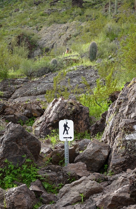
trail sign at the beginning of picacho peak
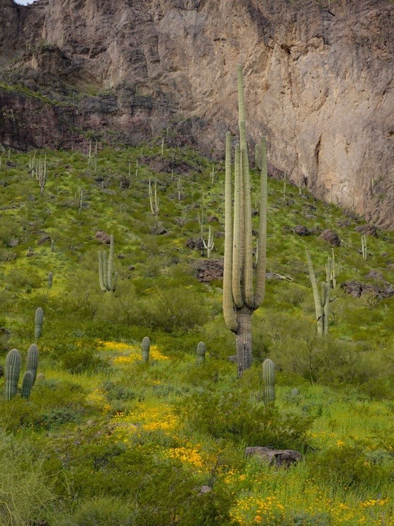
wildflowers on the hunter trail
The next checkpoint you’ll reach is “the saddle.” You know you’re there when you see a bench. This is a good stopping point for people who are limited on time or who are afraid of heights. If you bring on a dog on your hike, this is where you need to turn around.
If you decide to go past this point, there are a few things you need. First, you need a hiking backpack so you can be hands-free because you’ll need your hands to guide you past the saddle. I suggest one that has a water bladder to hydrate while you climb, along with an attachable front phone case so you can snap photos and put your phone back safely and quickly. You’ll also want gloves. This was a suggestion by many, and I feel like it’s a MUST.
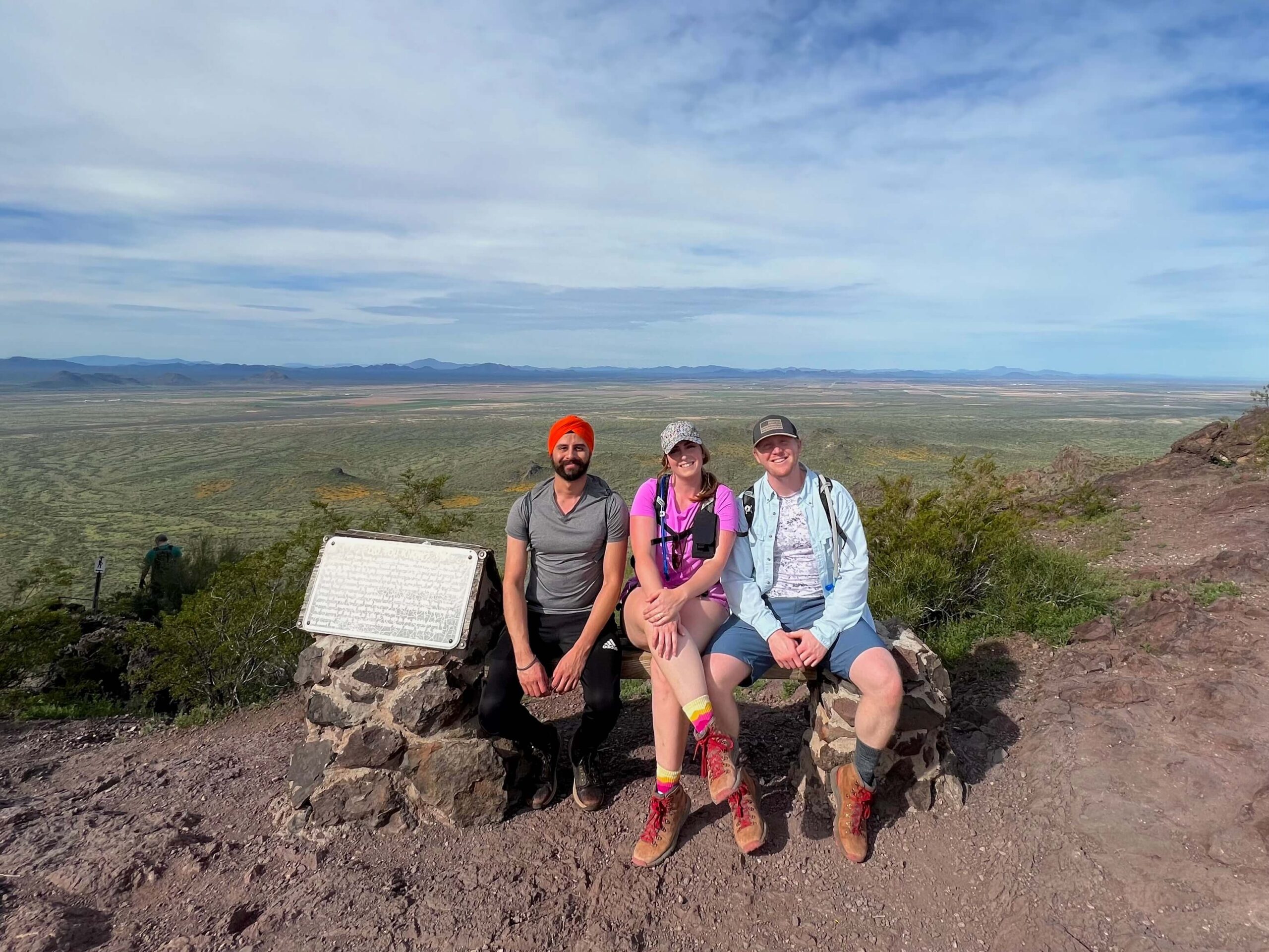
my group sitting on a bench at the saddle of picacho peak
PAST THE SADDLE
In my opinion, this is where the real fun begins. If you’re severely afraid of heights, I wouldn’t go past this area. If you don’t have grippy shoes (meaning if you’re wearing normal gym Nikes, etc), this hike is possible but not ideal. It’s steep and you can slip.
After the saddle, you’ll actually hike DOWN before making a steep incline. This is because you have to wrap around the back of the mountain to get to the top. I loved the shade on this part of the hike (if you hike in the morning). Wildflowers become less common but are still present past this point.
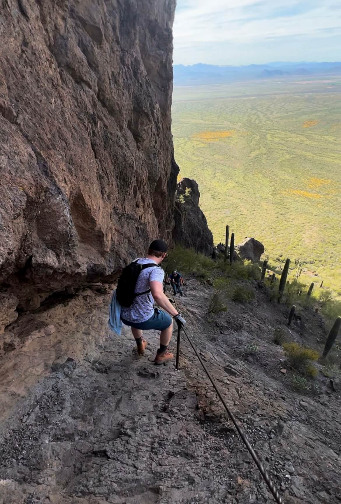
climbing down picacho peak
In a few short minutes of going down, you’ll start turning left and you’ll know from this point forwards, you’re going upwards. One thing I was surprised about hiking Picacho Peak after reading numerous reviews, was that there weren’t as many “cables” as I expected.
People made it seem like you’re holding onto cables for dear life, scaling over the edge of a cliff for almost the entire hike. Don’t get me wrong, there are cables, but only for a few intermittent parts of the hike.
AND YES- there is SOME RISK. There are some steep areas where if you were to fall, you could definitely really hurt yourself. But that is why there are cables to help. I personally thought the cable portions were EXHILARATING and so much fun. I didn’t feel scared.
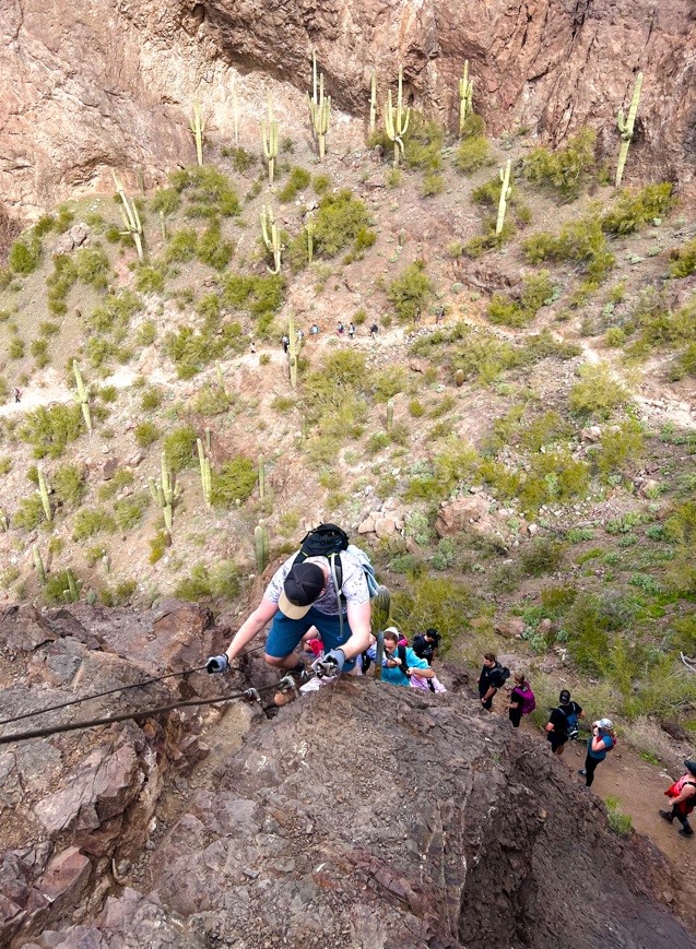
waiting in line to go up the cables
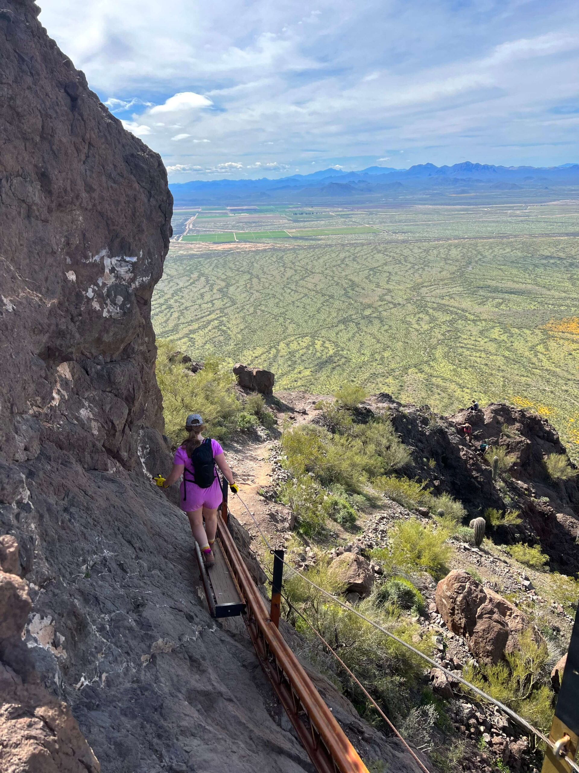
hiking down picacho peak
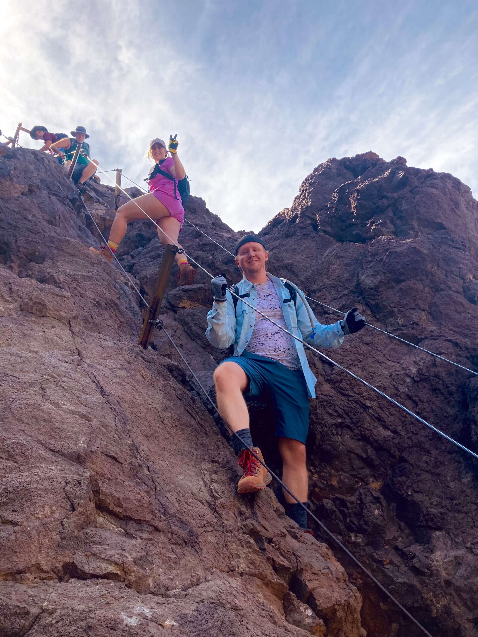
getting close to the summit of picacho peak
As you may have noticed in the photos above, there can be lines to go up or down the cables because two people can’t be on it at once. There was one point I got frustrated with waiting, but it was OK. Once you hike over the wood plank, you know you’re almost to the top.
REACHING THE TOP OF PICACHO PEAK
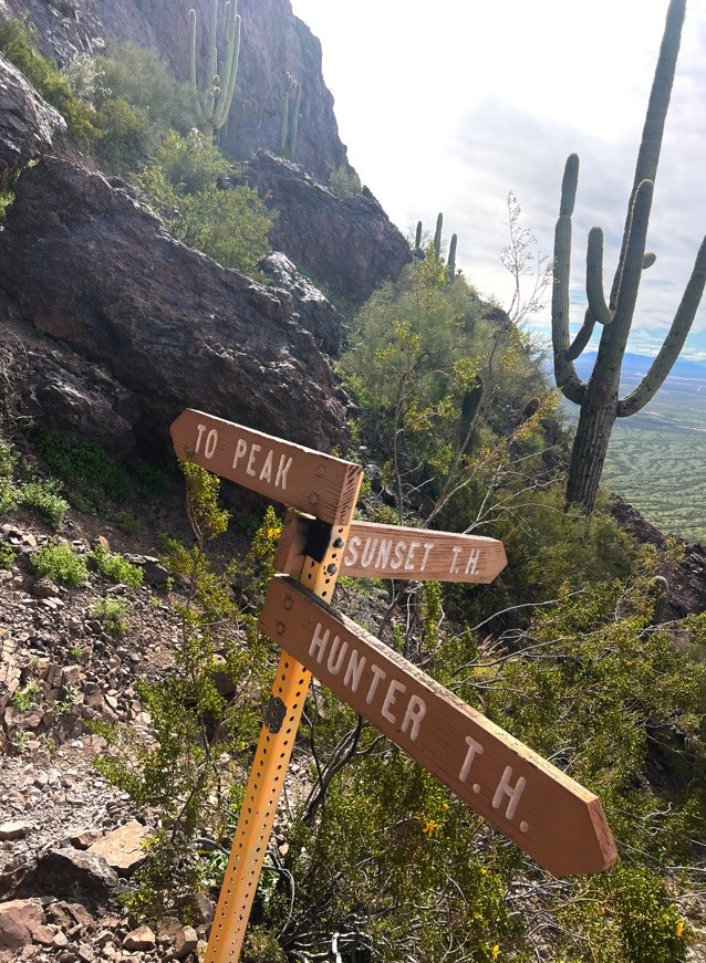
trail sign on picacho peak
After you make it over the bridge, you’ve only got a few short switchbacks to the top, and then YOU’VE MADE IT to the top of Picacho Peak. There are so many different types of hikes in general- out and backs, loops, hikes that go to a viewpoint, summit hikes, etc. There’s something special about summit hikes and actually making it to the tip-top of a mountain where everything around you looks SMALL.
It will be so fun for you to drive past Picacho Peak in the future and know you were at the very top. I think HUMANS ARE SO COOL. When you get to the top, make sure to fuel up and take a breather before you go down.
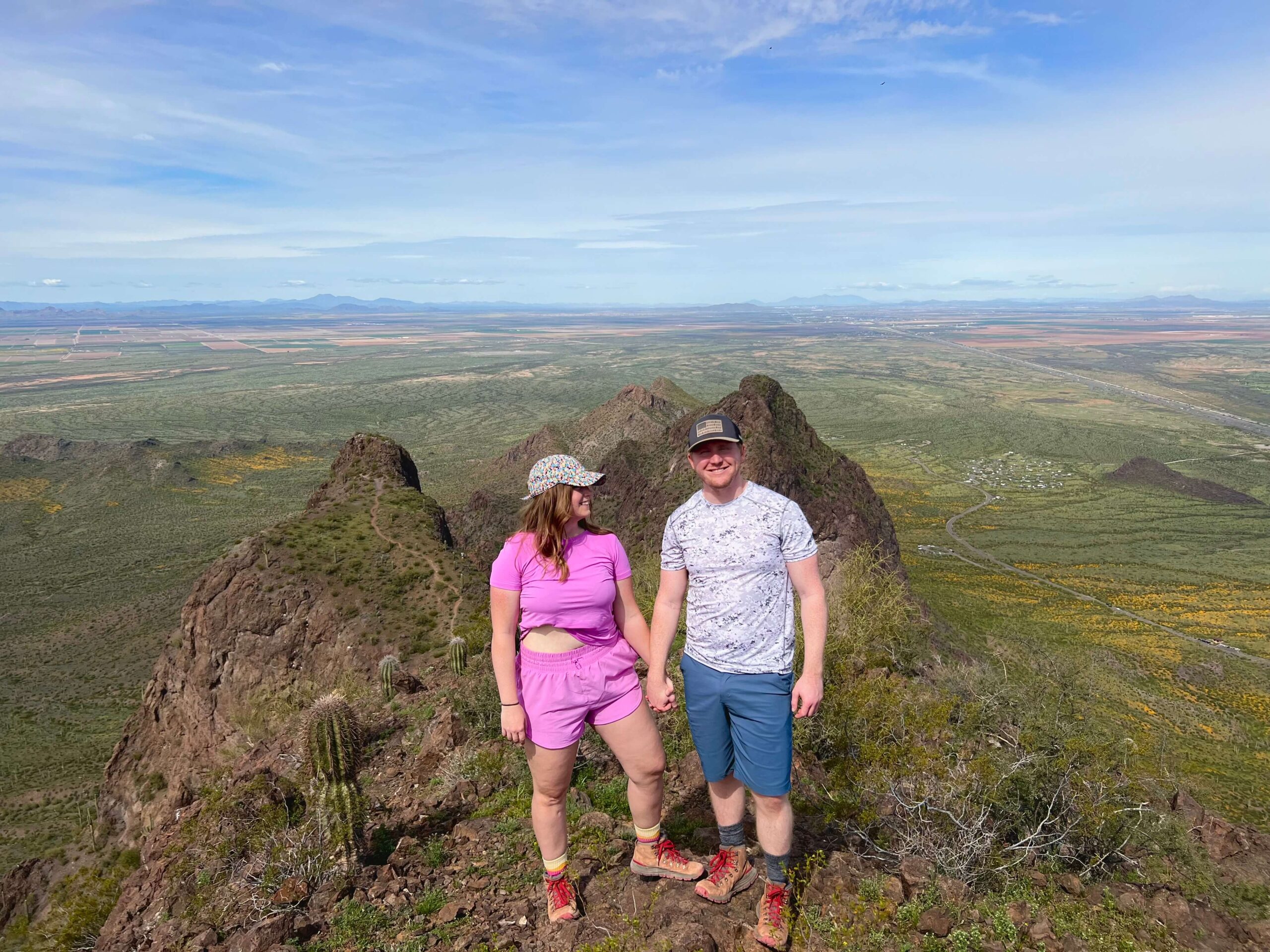
picacho peak summit
FINAL THOUGHTS ABOUT PICACHO PEAK
I personally LOVED Picacho Peak. I thought it was exhilarating and fun. My group felt the same. If you’re from the Phoenix Area, we felt it was pretty similar in difficulty to Camelback, but definitely easier than Flatiron. I hope you enjoyed these details! Here are some other hikes you may enjoy.
Flatiron- A Bucket List Phoenix Hike.
Pass Mountain Loop in East Mesa
How to Hike to the Tallest Point in Maricopa County: Four Peaks


