Flatiron: A Bucket List Phoenix Hike
While most of the country braces tough snowy, cold winters, Arizonians put on their shorts and tanks to go for a hike. One of the best parts of living in Arizona is our hiking season, which is winter (October-May). In Arizona, we say “There are two seasons- hot, and less hot.” The desert is green and alive and we can actually hike later than 7 am. One of the most notable hikes in Phoenix is FLATIRON.
FLATIRON is in the Superstition Mountains, east of Phoenix, Arizona. The Superstition Mountains are the tallest mountains in the area besides Four Peaks Wilderness. It truly is a badge of honor to complete the FLATIRON hike. A must-do if you’re a “true” hiker, or so they say.
Why Should I Hike FLATIRON?
You should hike Flatiron if you’re looking for a CHALLENGE. Trust me, the suffering is worth the views at the top. There’s usually always a moderate amount of people on this trail, but it’s not as crowded as the popular Phoenix hikes like Camelback and Piestewa Peak. This trail is NOT for beginners. You need to know how to climb with all fours. I don’t recommend hiking to Flatiron with young kids or dogs that aren’t also experienced with climbing. I say all of this to prepare you.
FLATIRON IS A VERY CHALLENGING, BUT REWARDING HIKE.
Why Is it called flatiron?
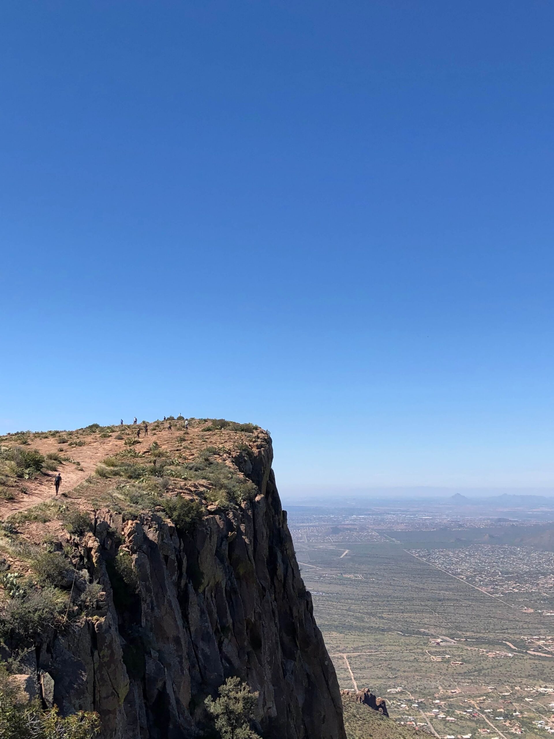
The Superstition Mountains have multiple “peaks,” naked by their height, including Peak 5057 (the tallest) and Peak 5024. Flatiron, height 4,860 ft, is named for its shape. As you can tell below, the top of “Flatiron” quite literally looks like the bottom of an iron. I think it’s a stunning shape. You can see it from all over the Phoenix Valley and remember that you once hiked it.
Where is THE FLATIRON HIKE?
CAUTION
As I mentioned, this is a DIFFICULT HIKE. If you decide to make the trek, prepare yourself by going with someone, telling someone else that you’re going, bringing a pack with at least 3L of water and snacks, and wearing shoes with proper traction.
WHAT IS THE BEST TIME TO HIKE FLATIRON?
I recommend hiking Flatiron between November and April starting in the morning. This hike takes anywhere from 4-7 hours depending on your skill level. If you’re lucky enough to catch the Superstitions in Snow, this is also a stunning time to hike, but I DONT recommend hiking past the basin (will go over this later).
FLATIRON HIKE INFORMATION
The trail you’ll go on, Flatiron via Siphon Draw, is located in Lost Dutchman State Park, 30 minutes East of Phoenix, across from the Goldfield Ghost Town (also fun to visit!). The Lost Dutchman Trailhead isn’t the only way to start this hike, but it is definitely the most convenient.
HIKE STATS
HIKING FLATIRON IN THE SUPERSTITIONS
Let’s walk you through what to expect during your Flatiron hike. You’ll start from Lost Dutchman State Park on the Siphon Draw Trail. There are clean bathrooms at the trailhead which is nice. It’s a well-defined trailhead. You’ll start off walking past the Lost Dutchman Campsites and cabins (option- you can camp here the night before hiking!).
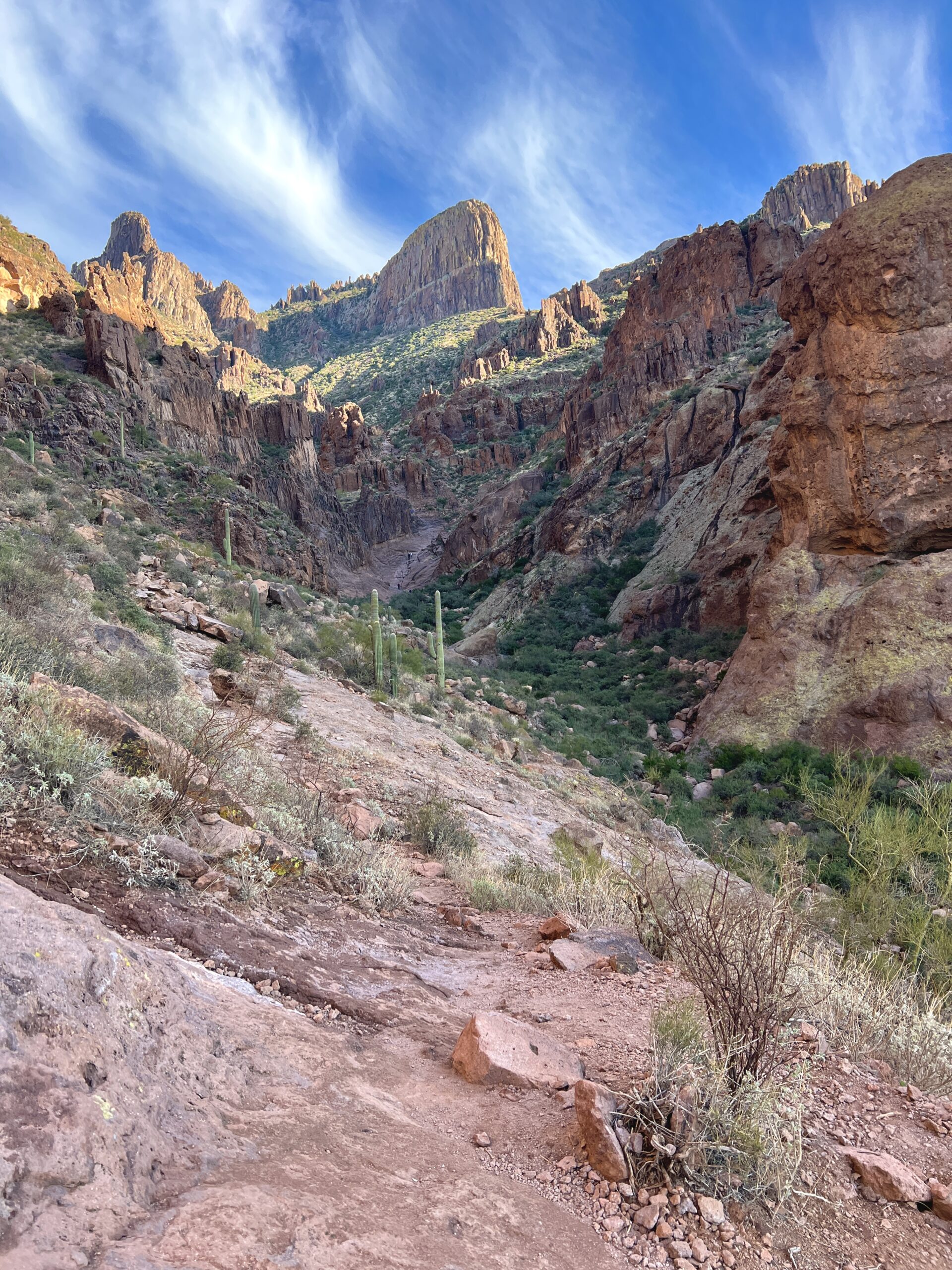
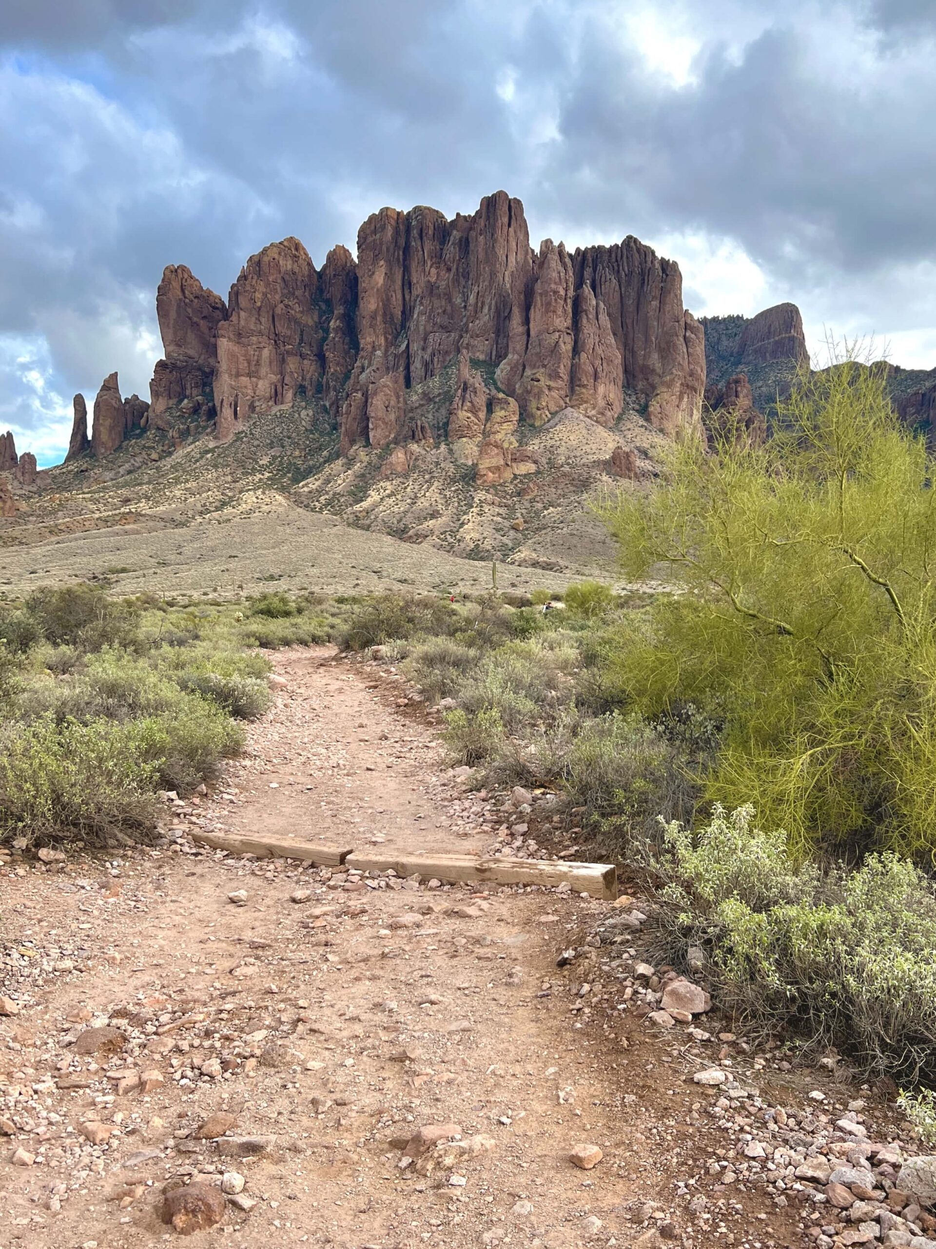
After you pass the campsite, you’ll start to make a gradual incline towards the mountains with a beautiful view like below! This part isn’t too bad at all. You’ll soon enter boundaries for Tonto National Forest and the Superstition Wilderness.
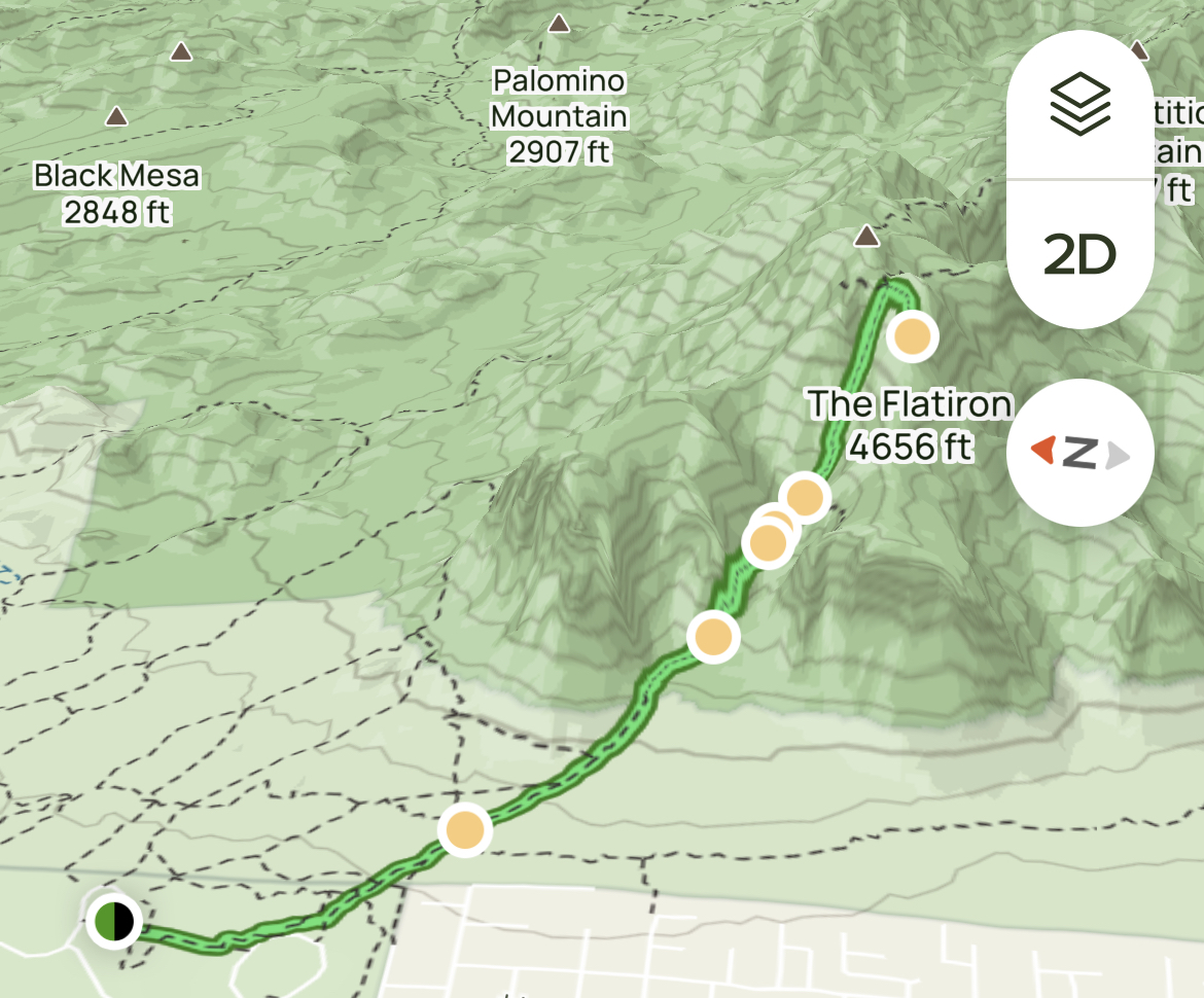
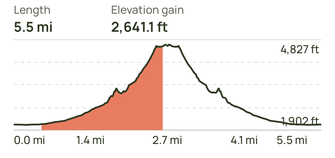
I love looking at the elevation in the maps above, but my quads get sore just looking at it, haha. You’ll make a gradual incline in the first few miles, but it still isn’t easy. As you go on, you’ll see less and less people. If you plan on going with your dog or young children OR you’re limited in time, “The Basin” is a good stopping point.
NEED A SHORTER HIKE? GO TO THE BASIN
“The Basin” is a well-known checkpoint on the Flatiron hike. It is a broad, smooth rocky area in the middle of the mountains. During rainy season, a small stream runs through the middle of it and it can get pretty slick. this part of the trail is 1.9 miles in, making it 3.8 miles round trip. In the diagram above, The Basin is the first small peak.
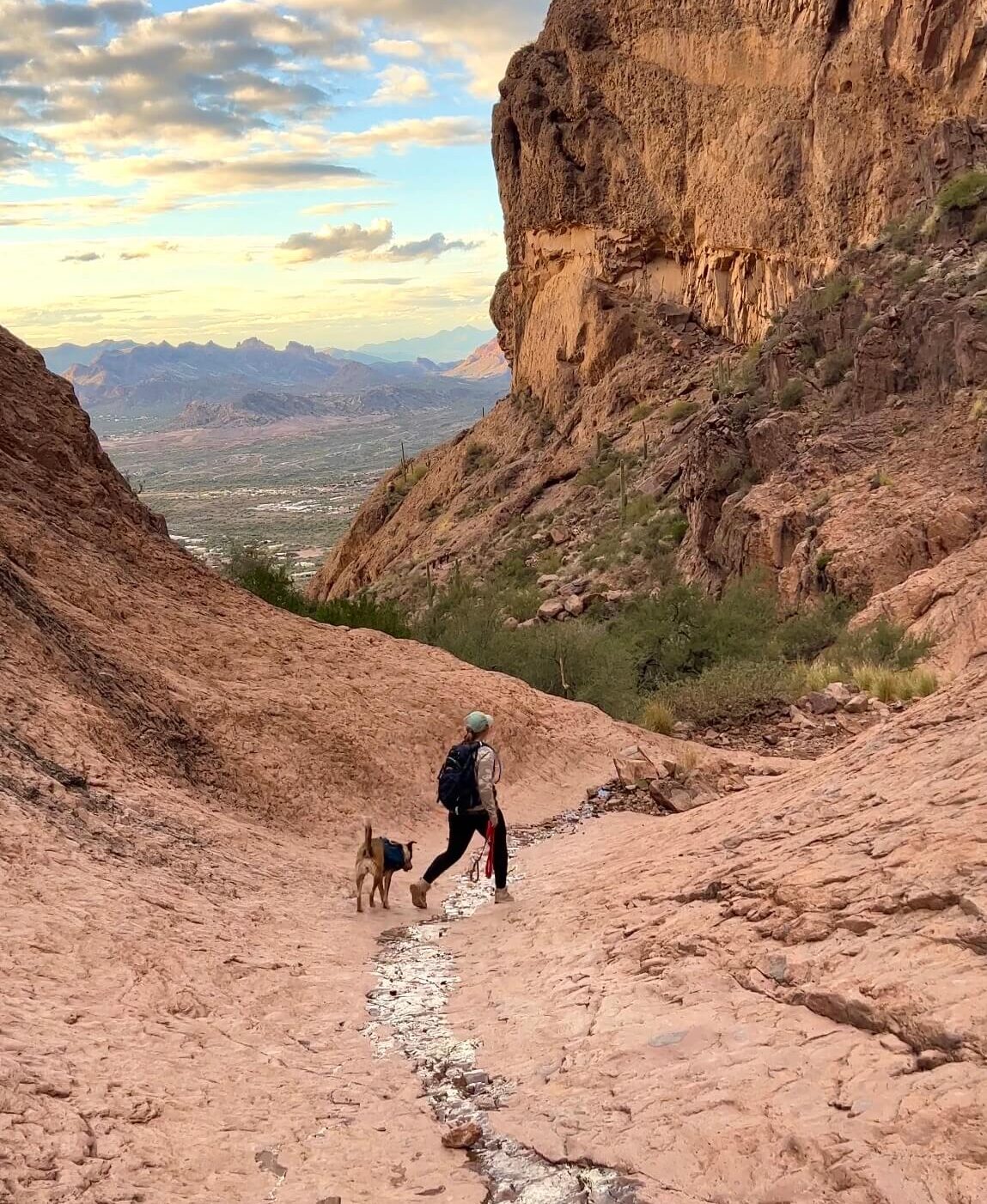
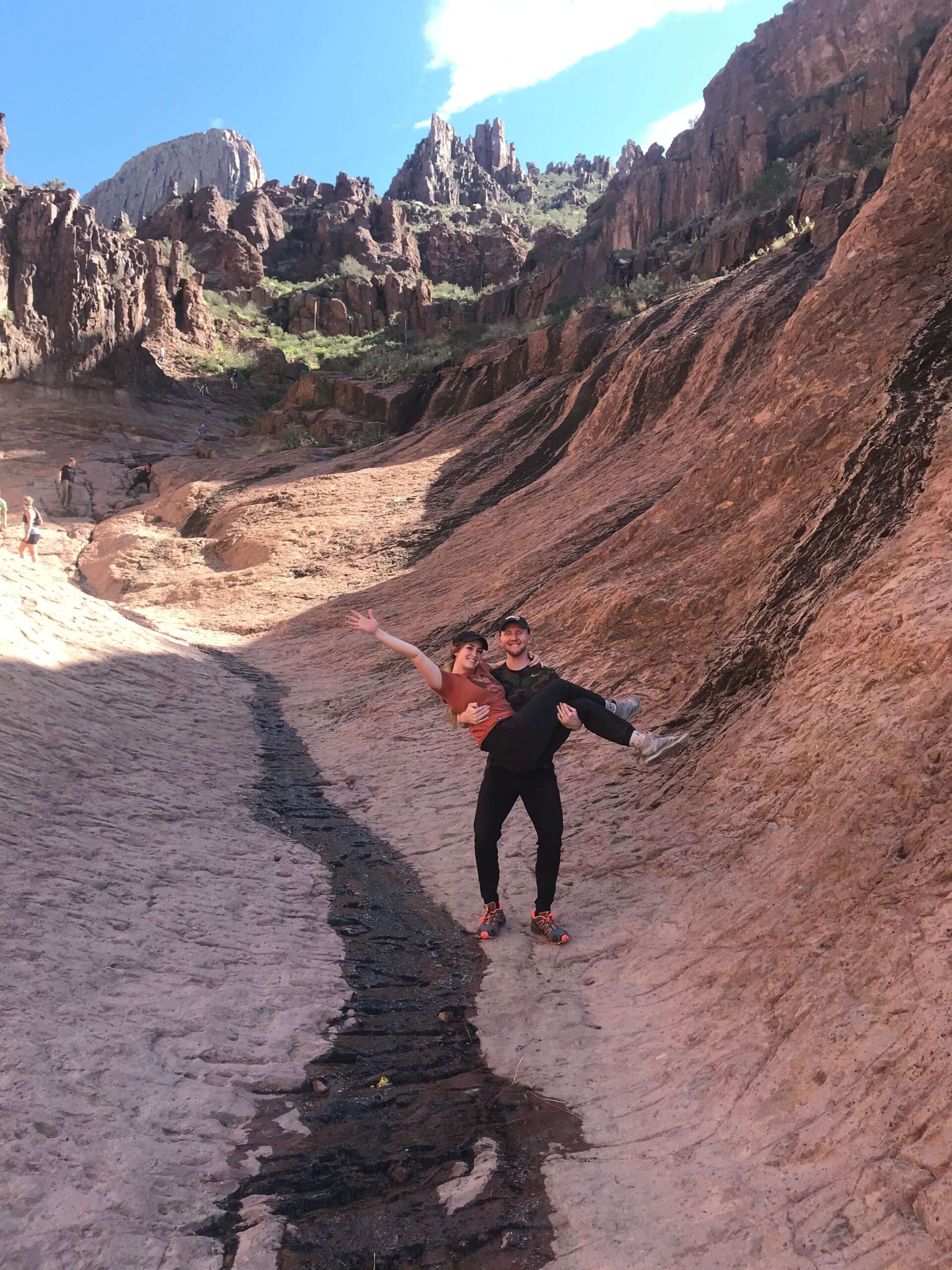
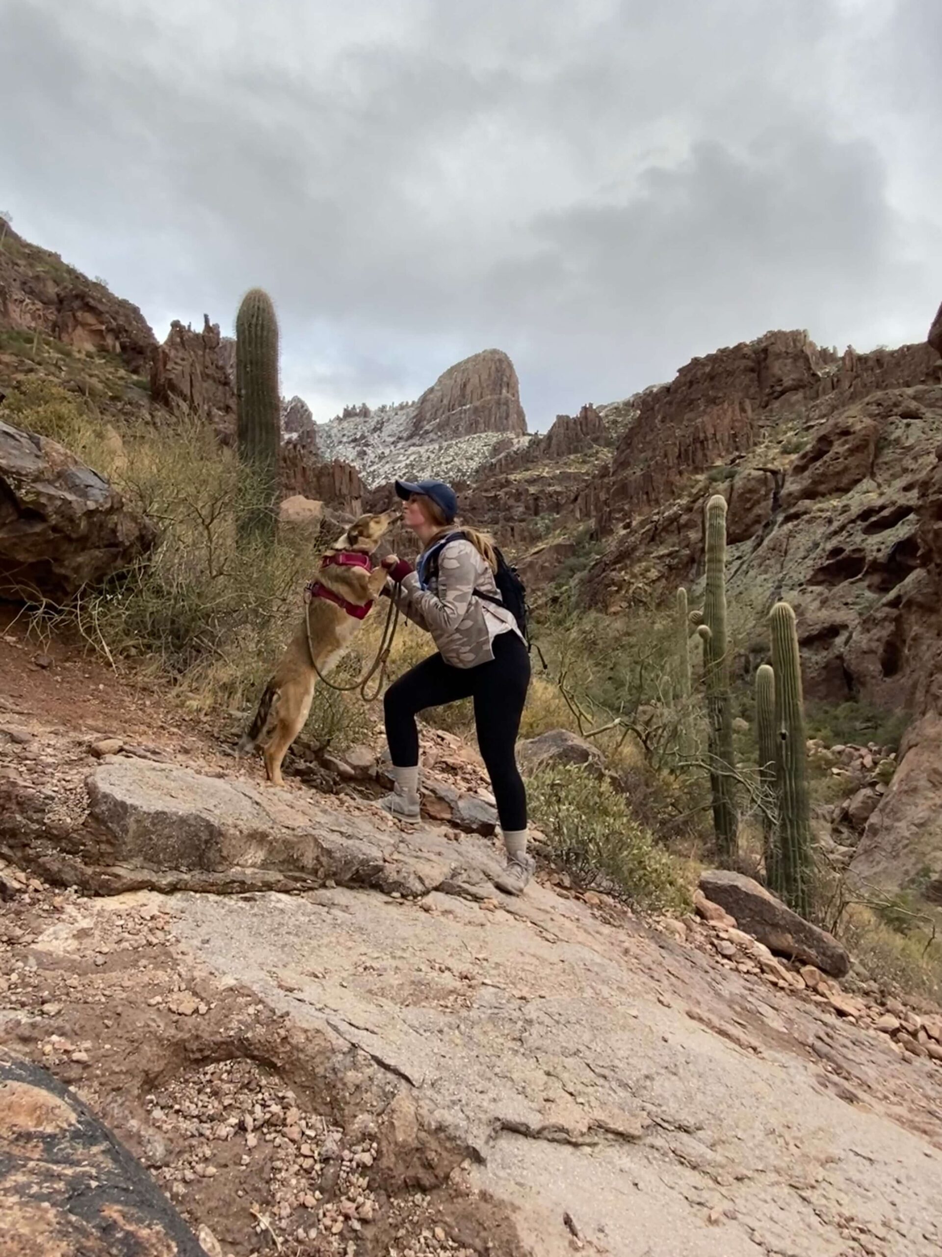
One of the reasons I suggest having grippy shoes is that past the basin, there are some really slick areas. You will be hiking at a severely steep grade. The flatiron hike is considered class 3 scrambling.
If you love hiking in Arizona, read about another one of my FAVORITE nearby hikes HERE.
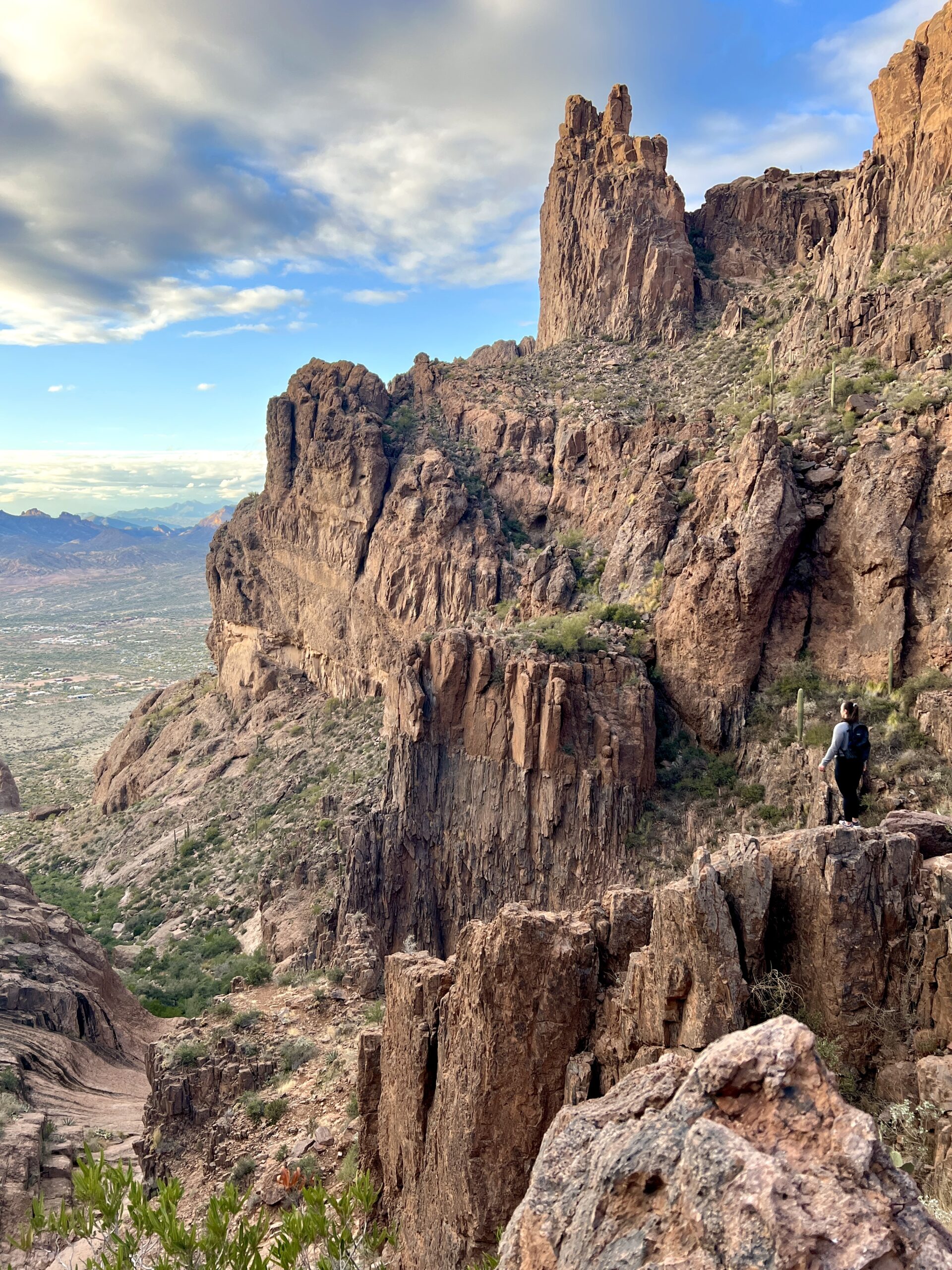
At this point you’re no longer hiking, you’re climbing. I really enjoy it, but it’s tough. The views are always worth the climb. As I mentioned before, dogs are allowed on this trail, but it is not very dog-friendly after the basin. I saw maybe 1 or 2 other dogs past this point. People were pretty amazed by my pup, but she’s had lots of practice! Take a look at the photos below to understand how steep this area really is!
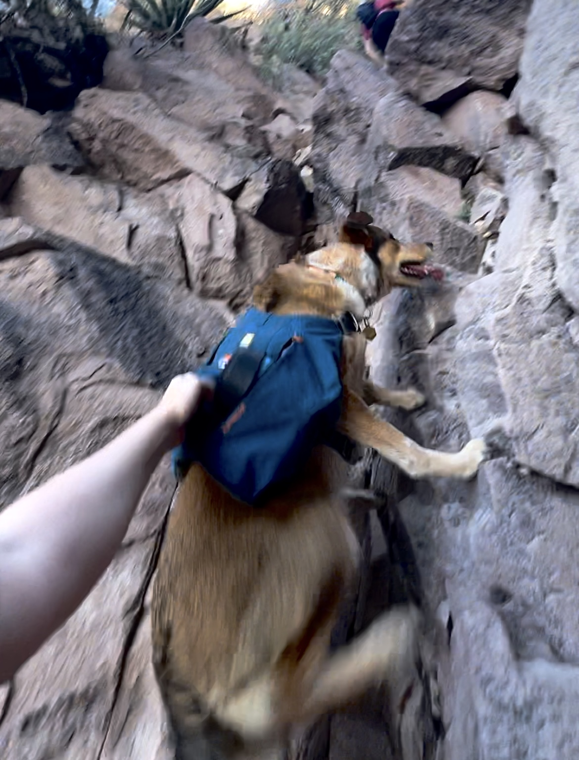
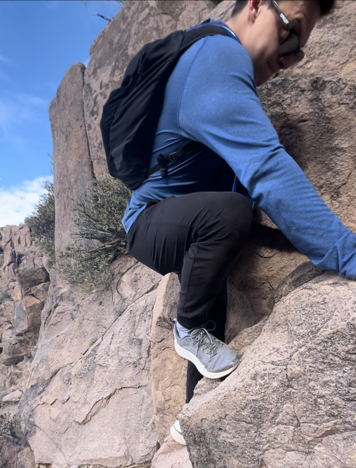
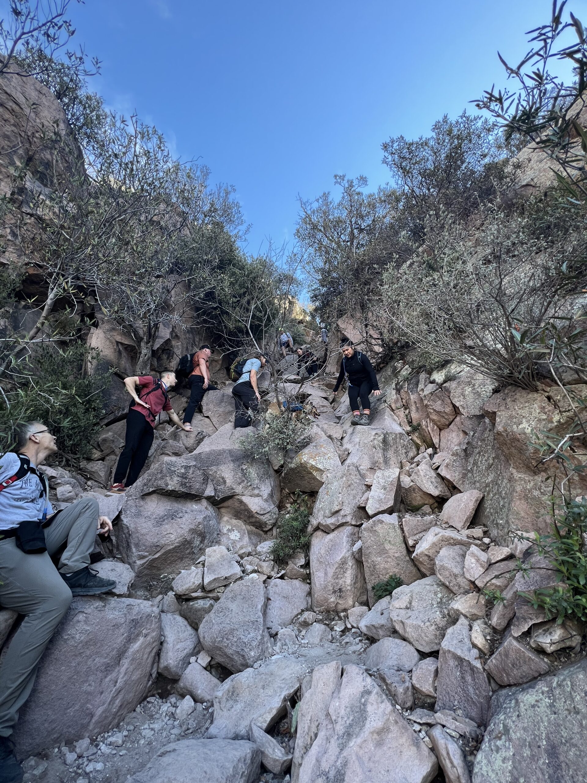
There will be one point towards the very top of your climb where you will need to climb a sheer rock over 10 ft in height. You can either go straight up it, or you can go to the left. The photo above with the male in the blue jacket is the route to the left. This part is the sketchiest part of the hike. It is not for the faint of heart. You need to be careful and take your time.
TAKING A DOG?
If you determined your dog is tough enough to hike up Flatiron, you NEED these two pieces of gear. The first is a harness with pockets that has a large handle on the back to lift up your dog. The second is an adjustable leash that you can expand to wrap around your waist and clip to the harness. Even though I trust my dog, I do this as an extra safety measure on steep areas in case she were to fall.
REACHING THE TOP OF FLAT IRON
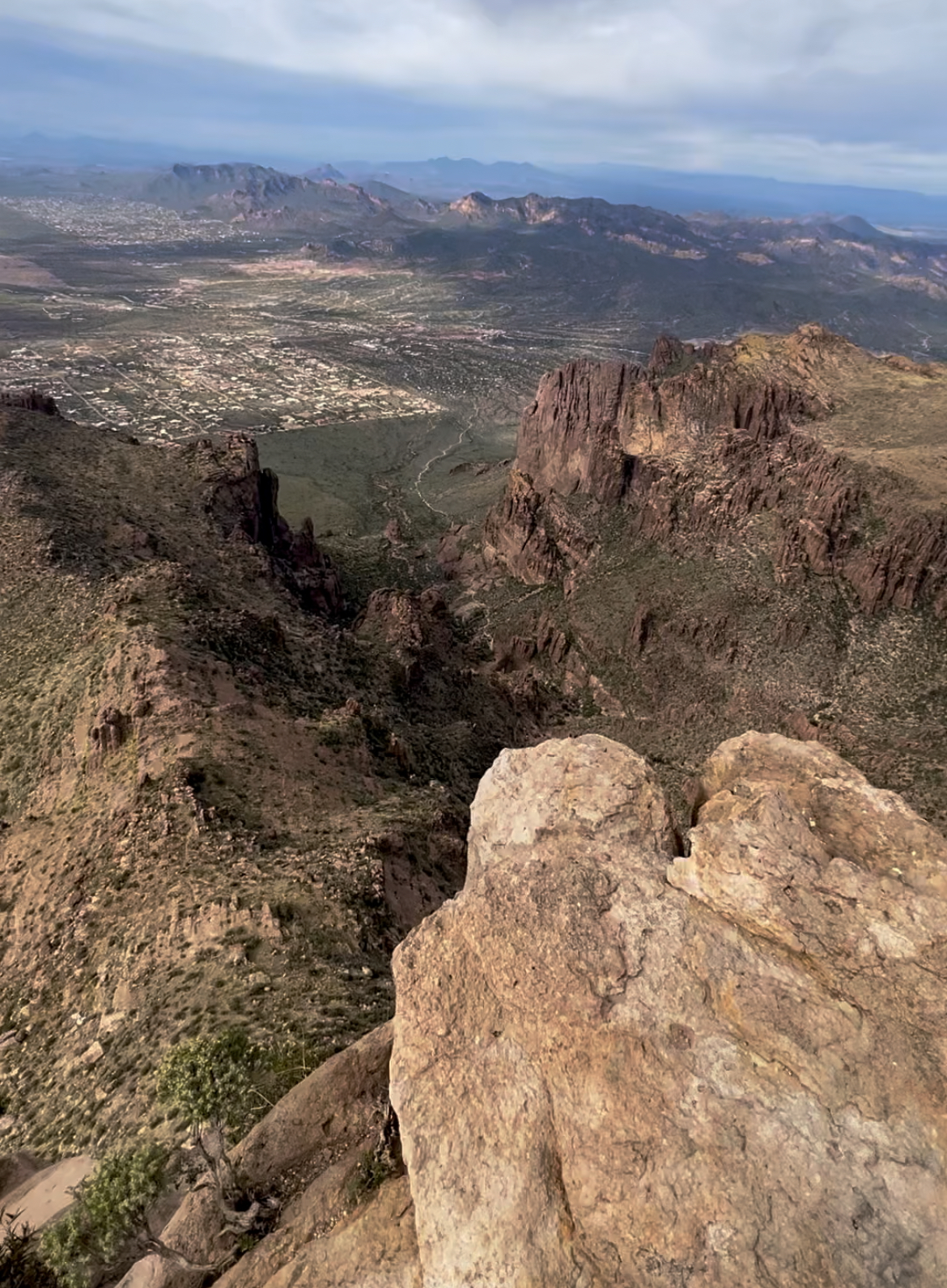
Once you make it up the steep sketchy part, turn around to your right and be blown away by the shape of Flatiron. Ahh, it’s so rewarding. Walk over to the edge (but not too close) to take some pictures and enjoy a snack. From the top of Flatiron, you can see all the way to Downtown Phoenix miles away. My husband backpacked and slept on the top of Flatiron when he was younger and said the view at night with the city lights is amazing- I’d love to do this.
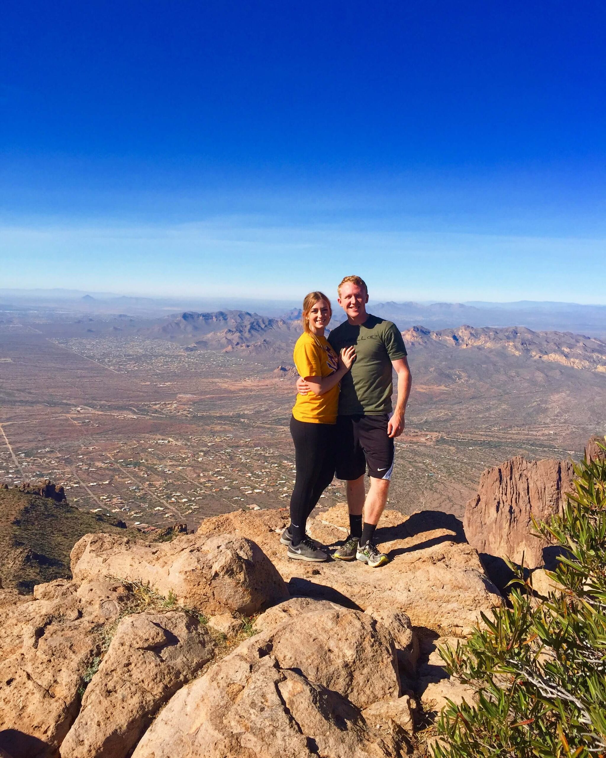

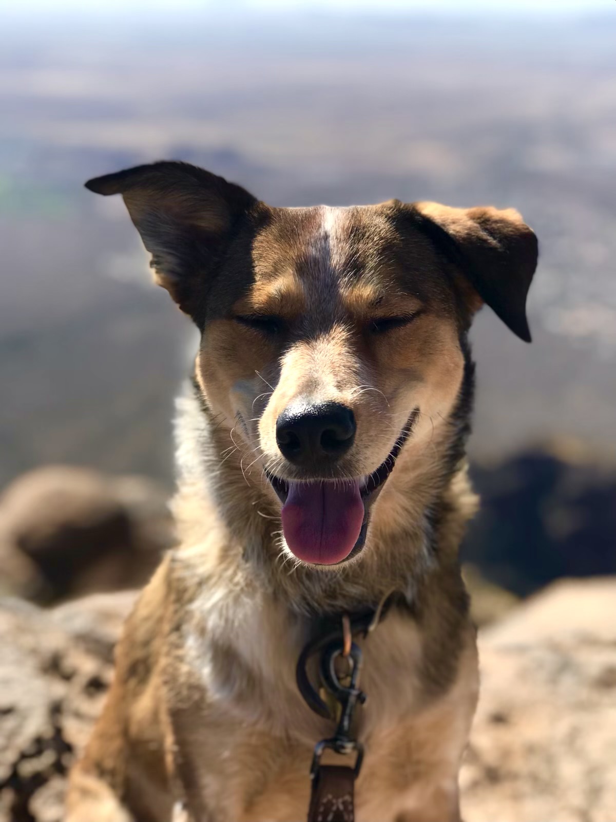
I was so proud of my little pup for making it to the top. She sure got all of the attention from everyone up at the top. It is possible to bring your adventure pup, I just want to make sure you’re safe and prepared. If you’re convinced to bring your dog, or just want to see my pup climb, watch my Instagram reel below.
FINAL THOUGHTS ABOUT FLATIRON
I hope you enjoyed my post. I want you to be inspired to hike Flatiron, but to also be prepared and safe. Please leave questions or comments below. This trail is a great challenge and you’ll feel so accomplished after. Here are some other local hikes you may enjoy too!
Pass Mountain Loop in East Mesa
How to Hike to the Tallest Point in Maricopa County: Four Peaks
Best Dog-Friendly Hikes in Phoenix
