See Canyon Trail Arizona: Fall Hiking Guide Near Payson
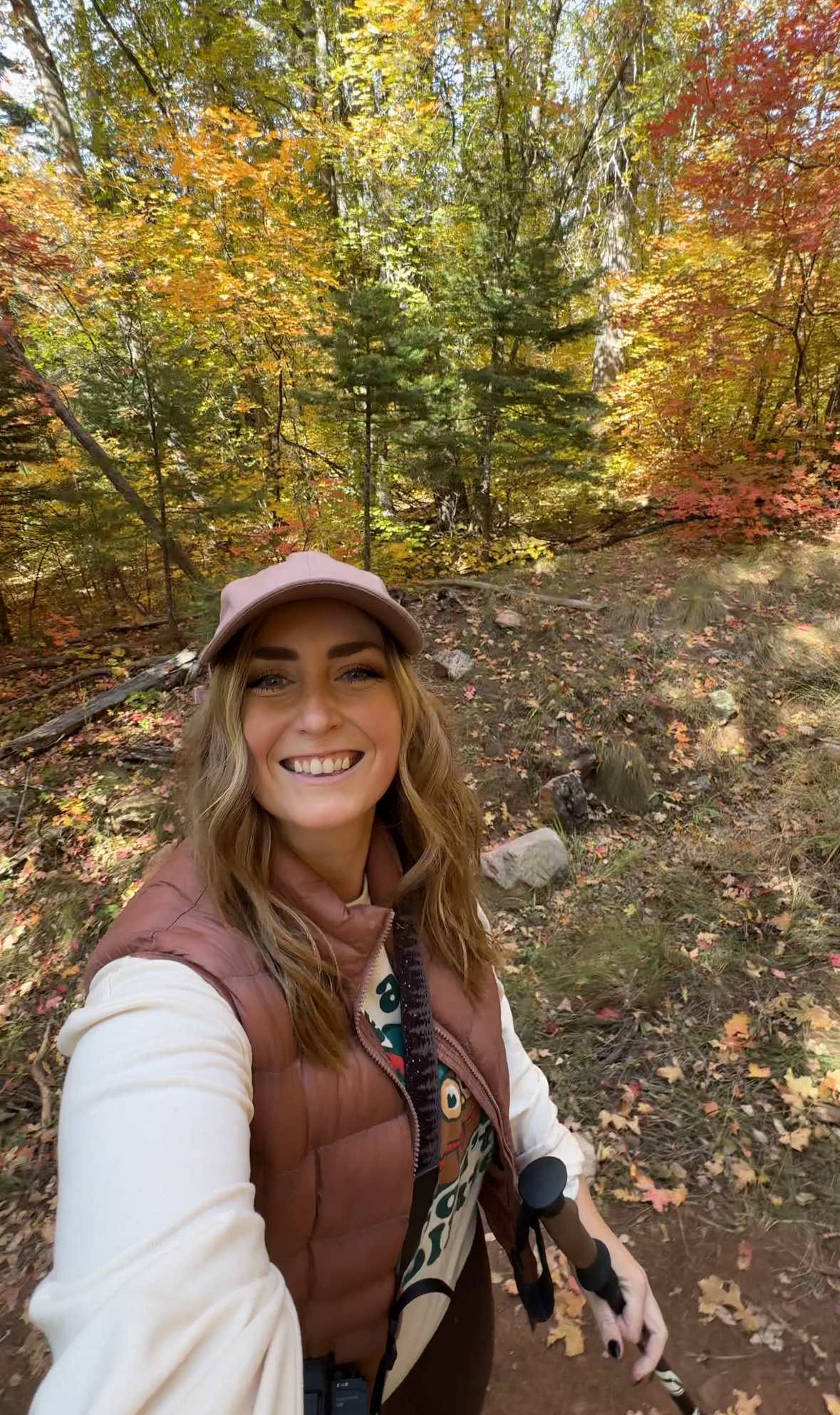
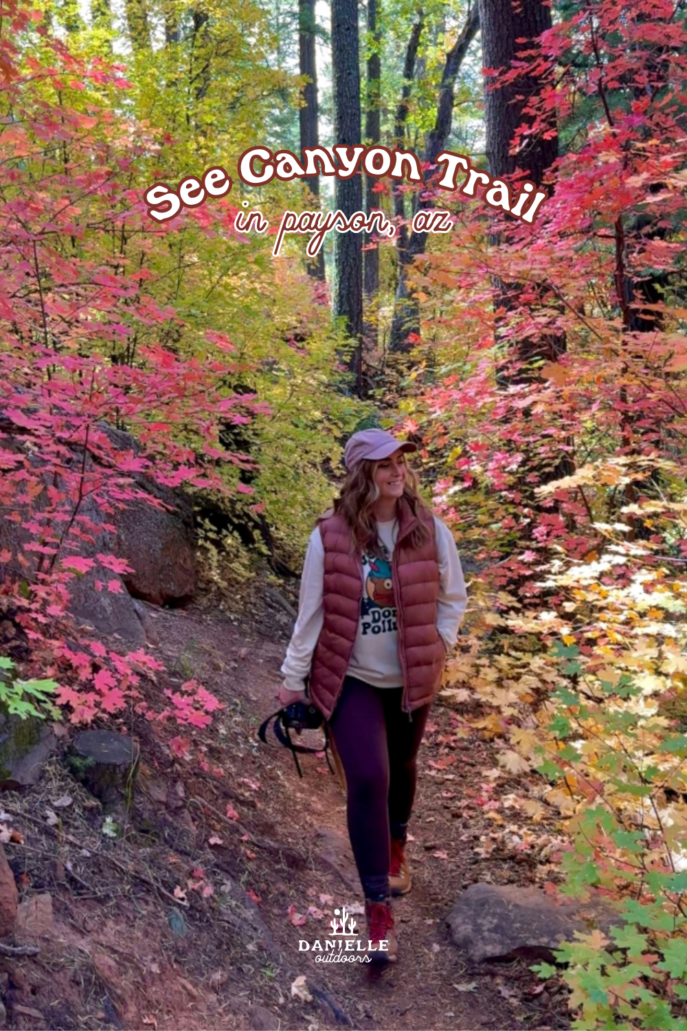
See Canyon Trail is one of the best hikes near Payson, Arizona for experiencing the forests, creeks and changing seasons of the Mogollon Rim. The trail winds through a lush canyon beneath towering ponderosa pines, with creek crossings, rocky sections and beautiful views as you climb higher into the forest.
While See Canyon Trail is beautiful throughout much of the year, fall is one of my favorite times to hike here. The canyon comes alive with shades of yellow, orange and red, making it one of the best places to see fall colors near Payson.
In this guide, I’ll cover everything you need to know about hiking See Canyon Trail, including how to get there, what to expect on the hike, when to visit for fall colors and how it compares to the shorter See Spring Trail that begins from the same trailhead.
Quick Guide: See Canyon Trail
See Canyon Trail is a longer, more challenging alternative to the nearby See Spring Trail, taking you deeper into the forest and eventually climbing toward the top of the Mogollon Rim. The combination of Christopher Creek, dense forest and colorful deciduous trees makes this an especially beautiful hike in the fall. If you’re looking for something shorter from the same trailhead, See Spring Trail is about 2.5 miles round trip and is a great alternative.
🥾 Distance: 7.4 miles round trip
📈 Elevation Gain: ~1,700 feet
⏱️ Time: 4–5 hours
🔴 Difficulty: Moderate to challenging
📍 Location: Mogollon Rim near Payson, Arizona
🚙 Trailhead: See Canyon Trailhead
🐕 Dogs: Allowed on leash
💦 Highlights: Christopher Creek, creek crossings, ponderosa forest & canyon scenery
🍂 Best Time to Visit: October–early November for fall colors
🌲 Trail Type: Out & back
How to Get To See Canyon Trail
See Canyon Trail is located near Christopher Creek, about 20 miles east of Payson, Arizona, just below the Mogollon Rim. From Payson, take Highway 260 east toward Christopher Creek, then turn onto the road leading toward the See Canyon Trailhead.
I recommend downloading your directions and trail map before leaving Payson, as cell service can be limited around the Mogollon Rim. The area can also be especially busy on fall weekends, so arriving earlier in the day will give you a better chance of finding parking.
From Payson, you’re going to go east on highway 260 to Christopher Creek Loop. You take this until you see the Christoper Creek General Store, and you will turn LEFT onto Forest Road 284 directly across from it. You will be on this well-maintained dirt road for about 2 miles until you get to the trailhead. Below is the Google Earth view looking at FR 284 from the General Store. You can check the status of this road on the Apache-Sitgreaves National Forest website.
I have found it accurate to use the AllTrails “directions” feature that opens up a map on Apple Maps. Coordinates are 34.33606 N, 111.01402 W.
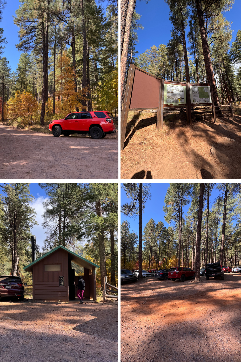
trailhead parking
The trailhead is medium sized. It’s a little loop, and there is overflow parking down the road a little bit. For the most part, it should be easy to find parking, unless you’re hiking during peak fall colors.
There is a trailhead sign, map, and pit toilet availabe for you. It’s easy to navigate, which is nice!
See Canyon Trail: What to Expect
see canyon trail stats
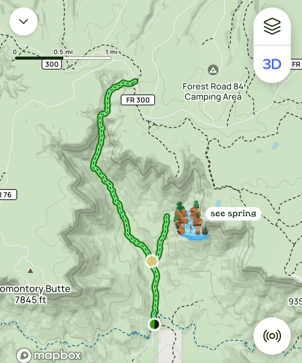
See Canyon Trail is approximately 7.4 miles round trip with around 1,700 feet of elevation gain, making it a moderately challenging hike. Most hikers should plan for around 4–5 hours to complete the full trail, depending on pace and how much time you spend stopping along the creek or enjoying the scenery. The first portion of the trail is fairly gradual, but the hike becomes more strenuous as you climb toward the Mogollon Rim. If you don’t want to complete the entire trail, you can also hike partway into the canyon and turn around whenever you’re ready.
trail details
See Canyon Trail starts out relatively gently, following Christopher Creek through a shady forest of ponderosa pines, maples and oaks. This first portion of the hike is especially scenic, with several creek crossings and plenty of places to stop and enjoy the forest along the way.
Early in the hike, you’ll reach the junction with See Spring Trail #185. Stay on See Canyon Trail #184 to continue deeper into the canyon. From here, the trail gradually becomes steeper and more rugged as you gain elevation toward the Mogollon Rim.
Expect a mix of rocky terrain, creek crossings and forested switchbacks as you climb. The elevation gain is what makes See Canyon more challenging than See Spring, so I recommend giving yourself plenty of time and bringing more water than you would for the shorter trail.
One of my favorite things about See Canyon Trail is how much the scenery changes throughout the hike. You’ll go from a lush creekside forest at the bottom of the canyon to higher-elevation ponderosa forest as you climb. In the fall, the lower portions around the creek are particularly beautiful, with pockets of yellow, orange and red foliage mixed among the evergreens.
see spring trail vs. see canyon trail
See Spring Trail and See Canyon Trail begin from the same trailhead and share the first portion of the hike, but they offer two very different options. See Spring Trail is the shorter hike at about 2.5 miles round trip, making it a great choice if you want an easier hike with creek crossings, forest scenery and beautiful fall colors. See Canyon Trail is about 7.4 miles round trip with significantly more elevation gain, continuing deeper into the canyon and climbing toward the Mogollon Rim. If you’re mainly visiting for fall colors or want a shorter adventure, I’d choose See Spring Trail. If you want a longer, more challenging hike and have several hours to explore, continue along See Canyon Trail.
Early in the hike, you’ll reach the junction with See Spring Trail #185. Stay on See Canyon Trail #184 to continue deeper into the canyon. From here, the trail gradually becomes steeper and more rugged as you gain elevation toward the Mogollon Rim.
Expect a mix of rocky terrain, creek crossings and forested switchbacks as you climb. The elevation gain is what makes See Canyon more challenging than See Spring, so I recommend giving yourself plenty of time and bringing more water than you would for the shorter trail.
One of my favorite things about See Canyon Trail is how much the scenery changes throughout the hike. You’ll go from a lush creekside forest at the bottom of the canyon to higher-elevation ponderosa forest as you climb. In the fall, the lower portions around the creek are particularly beautiful, with pockets of yellow, orange and red foliage mixed among the evergreens.
Fall Colors on See Canyon Trail
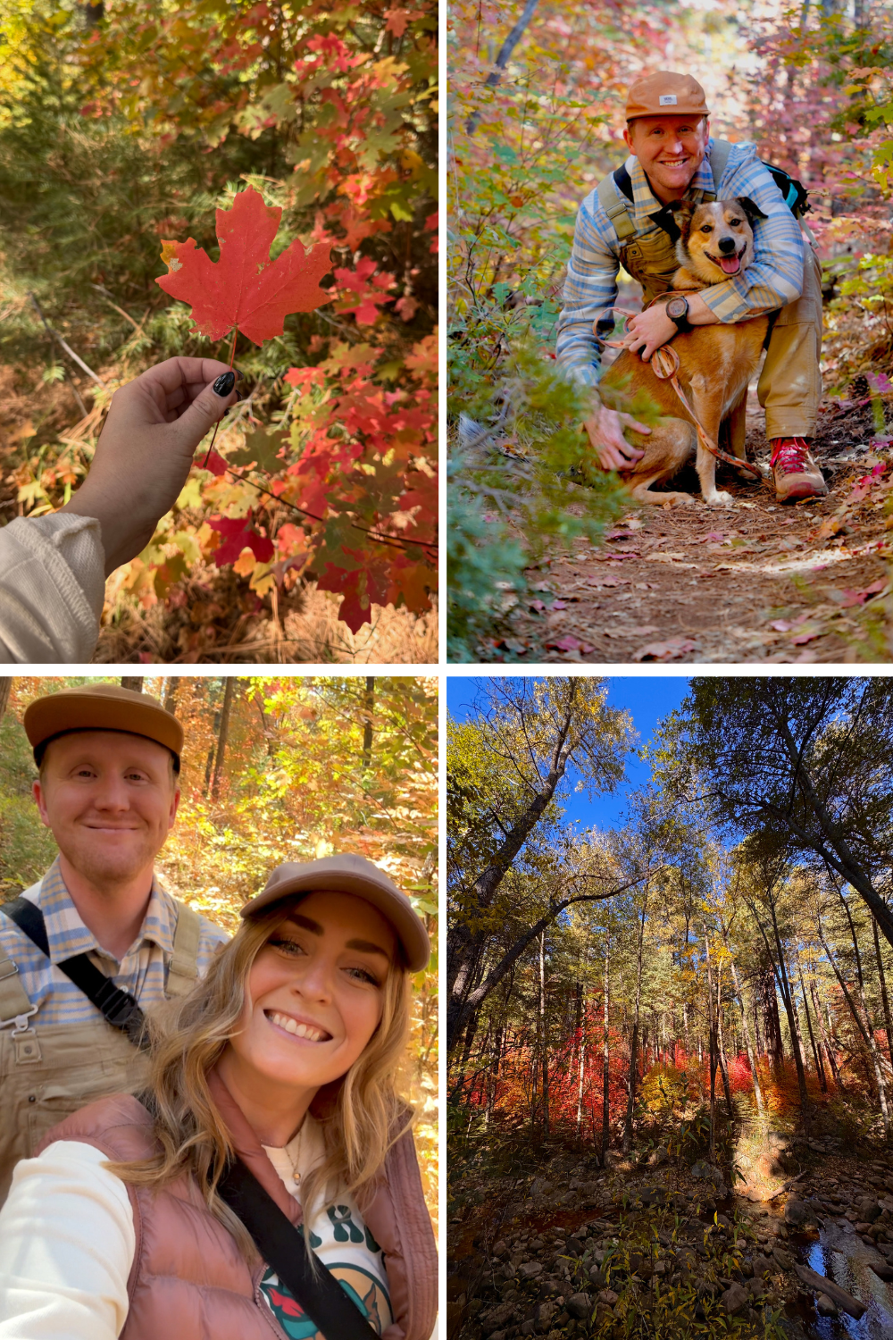
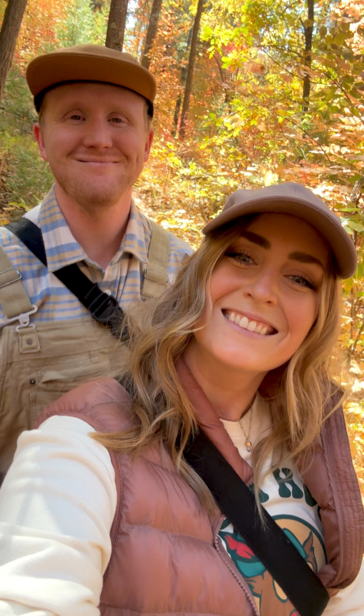
Fall is one of the best times to hike See Canyon Trail, especially if you’re looking for fall colors near Payson and along the Mogollon Rim. The canyon’s mix of evergreens and deciduous trees creates beautiful pockets of yellow, orange and red foliage, particularly along Christopher Creek and the lower, more shaded portions of the trail. The contrast of colorful leaves against the tall ponderosa pines is what makes this hike so beautiful in autumn.
Fall colors around See Canyon typically begin changing in October, although the exact timing varies each year depending on temperatures, elevation and weather conditions. Because conditions can change quickly, I recommend checking my Arizona Fall Color Leaf Watch before making the drive. I update it throughout the season with current fall color conditions around Payson, Flagstaff, Sedona and other popular leaf-peeping destinations across Arizona.
Summary of See Canyon Trail
See Canyon Trail is one of my favorite fall hikes near Payson for its combination of creek crossings, towering ponderosa pines and colorful foliage. The full 7.4-mile hike is a more challenging option, but you can always turn around earlier if you simply want to enjoy the forest and fall colors along Christopher Creek. For a shorter hike from the same trailhead, check out See Spring Trail, and before heading to the Mogollon Rim in autumn, check my Arizona Fall Color Leaf Watch for the latest conditions.
Read My Other Mogollon Rim Area Posts:
Horton Springs Hike Guide
Where to Camp on the Mogollon Rim
Things To Do in Payson & Coffee Shops in Payson