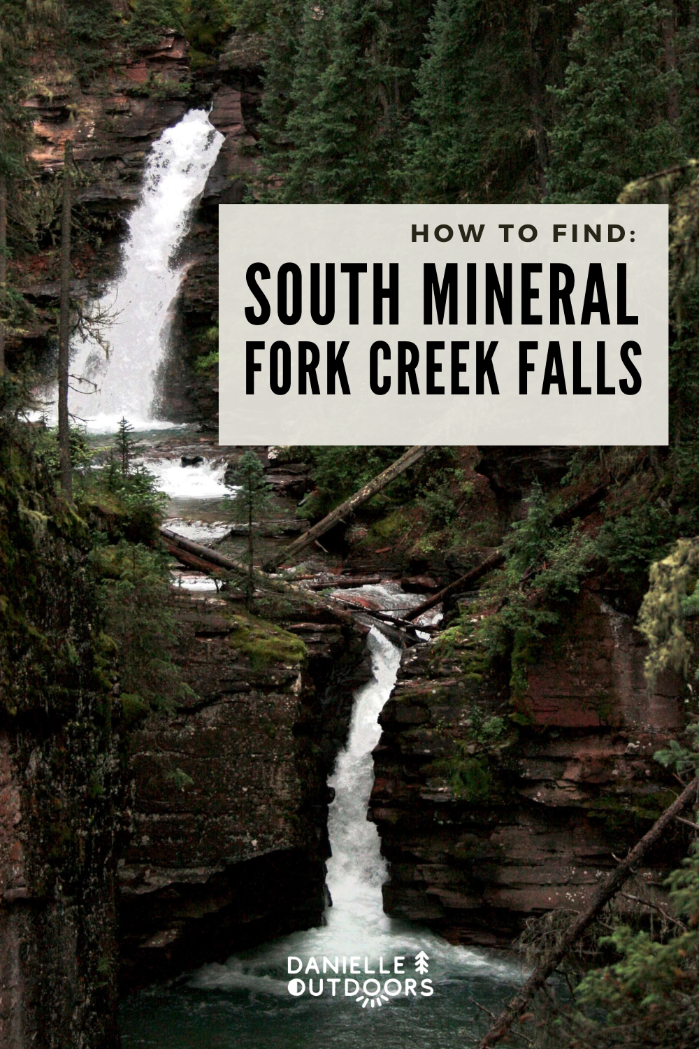
South Mineral Fork Creek Falls: Best Waterfalls Near Durango, Colorado
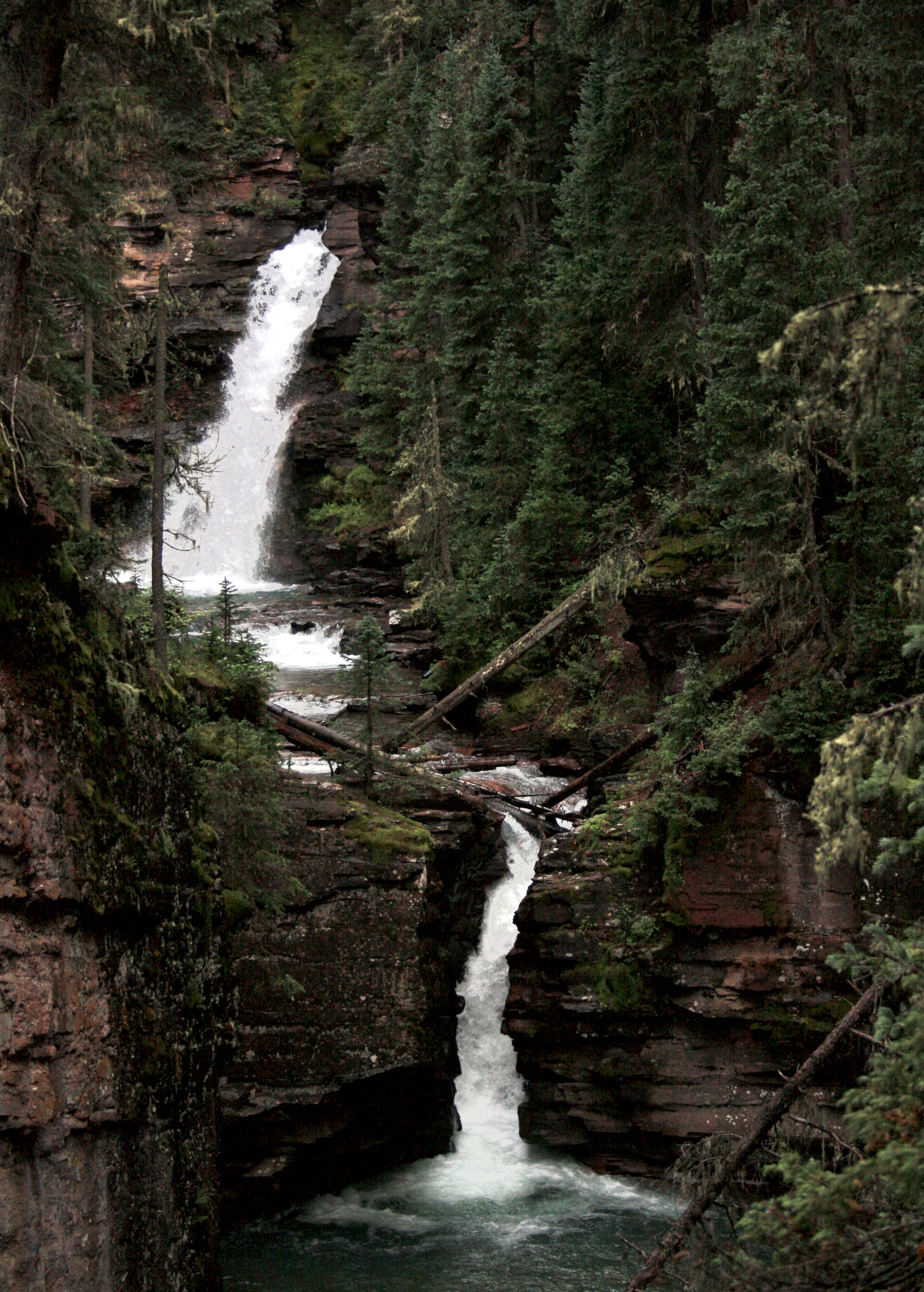
If you’re like me and you’re planning a trip to Colorado, you want to see at least 1 waterfall. Maybe 10! Waterfalls are one of the most beautiful natural features, and they’re my personal favorite. When my husband and I decided to road trip through Durango and Ouray, I researched plenty of waterfalls to see. I found many beautiful photos, but I struggled to find detailed instructions on how to get to the waterfalls. This is why I wrote this post: to help you find one of the most beautiful waterfalls in Southwest Colorado: South Mineral Fork Creek Falls.
Disclaimer: There may be affiliate links in this post, at no cost to you. This supports me as a blogger.
WHERE IS SOUTH MINERAL FORK CREEK FALLS?
South Mineral Fork Creek Falls is located in Southwest Colorado. It is 7 miles or 20 minutes Northwest of Silverton off the Million Dollar Highway. The falls are 55 miles or 1 hour and 20 minutes North of Durango, and 25 miles or 50 minutes South of Ouray, Colorado. To get there, you follow a forest road down to South Mineral Campground. It is in the center of the adventure hub of Colorado, so you’ll be able to make the most out of your trip.
SUMMARY: Southwest Colorado, on the Million Dollar Highway
WHAT TIME OF YEAR SHOULD YOU VISIT SOUTH MINERAL FORK CREEK FALLS?
I recommend visiting South Mineral Fork Creek Falls in seasons that aren’t snowy. There can be road closures on the Million Dollar Highway and you need to drive on a forest road for a few miles that may or may not be maintained in inclement weather.
We visited in late August. If you visit in Summer, realize late afternoon thunderstorms are common. We visited late afternoon before sunset on a cloudy, rainy day and it was beautiful. Please take caution in protecting yourself from thunderstorms.
Whether the weather is sunny, cloudy, or a bit rainy, this waterfall is beautiful!
SUMMARY: Late Spring to Early Fall
WHAT SHOULD YOU BRING TO SOUTH MINERAL FORK CREEK FALLS?
Here’s a list of a couple of things I feel you need to prepare for your trip to South Mineral Fork Creek Falls.
- Keen Hiking Boots, my absolute favorite! Waterproof for muddy, wet conditions.
- Bear Spray. You 10000% need to have bear spray. It’s bear country. Don’t go without it.
- iPhone Tripod: Wrap this around a branch and take some photos of you or your group!
- Camelbak Pack: It’s a short hike, but ALWAYS have water. And this way, you can be hands-free for photos!
- Rain Jacket: a MUST in Colorado. This comes with two and they’re light and cover your legs!
HOW TO FIND SOUTH MINERAL FORK CREEK FALLS
Okay, so you bought bear spray and you’re ready to visit the area, let’s get started on how to find South Mineral Fork Creek Falls- I still need to convince you to go!
Since my road trip (see this post!) started from Durango, I am going to start my directions from here. Make the beautiful drive first from Durango to Silverton, which is 48 miles and 1 hour. It won’t feel like an hour’s ride- it’s incredibly beautiful, so take in the views! Make sure to stop in Silverton at some point during your trip to fill up on gas and get some food. For dessert, stop at the Rocky Mountain Funnel Cake Company- it’s amazing!
Once you leave Silverton, it’s a short ride to your destination. Follow the Million Dollar Highway for 2.6 miles, and take a very slight road onto County Road 7/ Forest Road 585 (it will head down a hill). This is a dirt road! We took a 2WD van with lower clearance and did just fine. I would definitely feel more comfortable in my Jeep just in case, but a standard 2WD SUV is just fine. Very quickly, you’ll be treated to beautiful mountain views.
FOREST ROAD 585
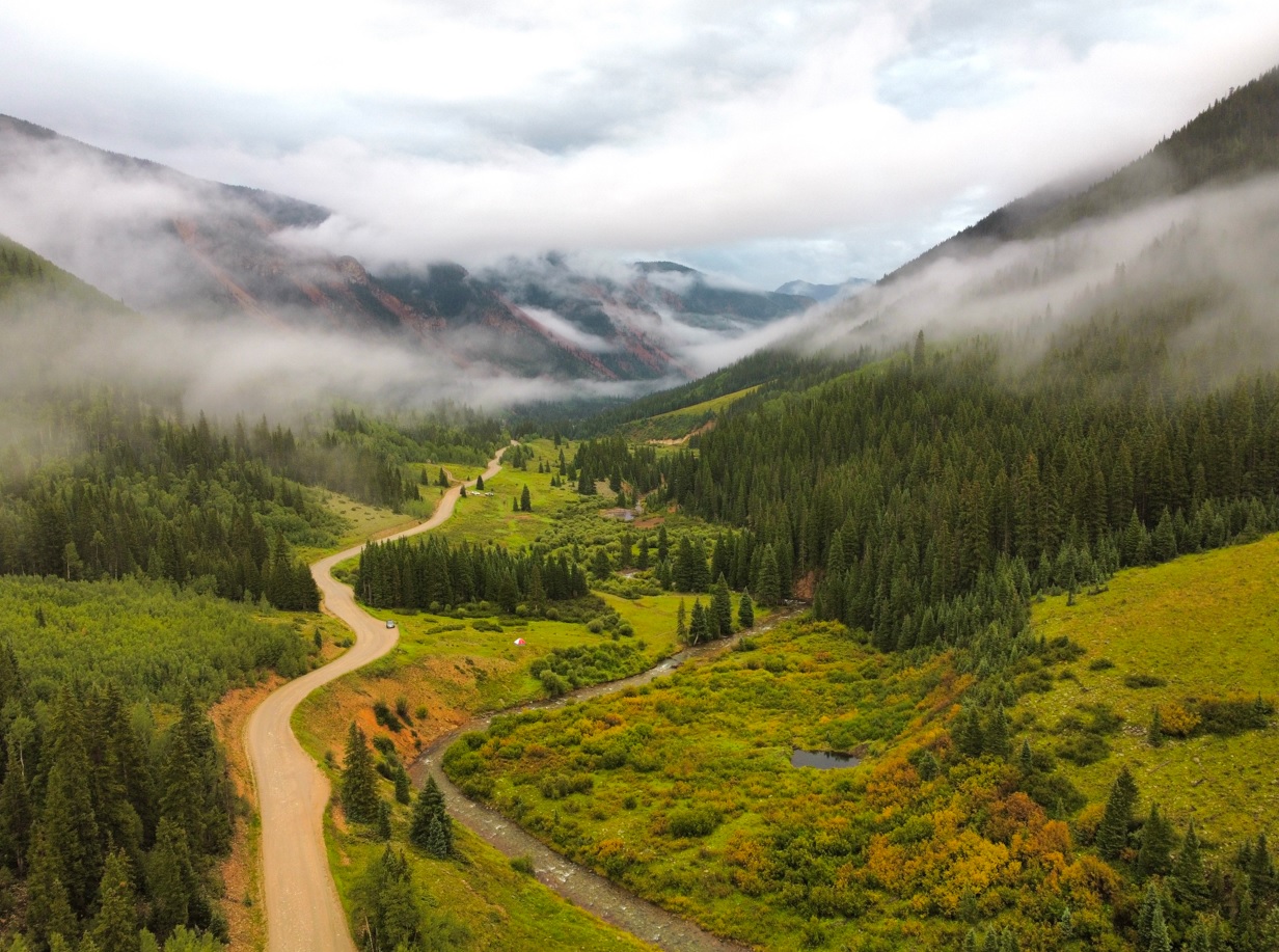
Once you hit the dirt road, you have 4.4 miles until you park for South Mineral Fork Creek Falls. You will need to drive slowly, as there are some potholes. Again as I mentioned, 2WD is fine. First, you will notice Anvil and Kendall Campgrounds. They are small and sites are close together, but it’s free.
As you keep driving down the road towards South Mineral Fork Creek Falls, you’ll notice a beautiful rushing river to your left. If you have time, walk down to it. We actually saw a moose down by the water when we were driving on the dirt road.
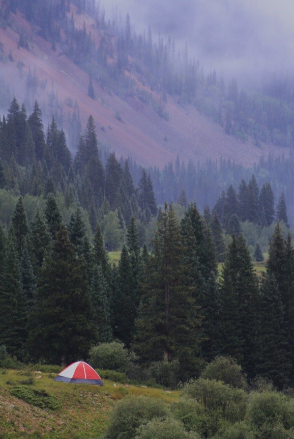
You will also notice individual dispersed campsites along the road with rock fire rings and walkways to the river. We chose to camp in one of these sites after our hike to South Mineral Fork Creek Falls.
Read more about our campsite and our whole Southwest Road Trip here.

PARKING NEAR SOUTH MINERAL CAMPGROUND
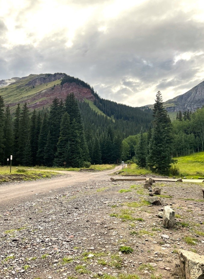
OKAY, LISTEN UP. this is important. When I researched how to get to South Mineral Fork Creek Falls, I kept reading that you should walk through the campground. This campground is at the “end” of the main part of FR 585 to the left. It’s also across from parking for Ice Lake Trailhead.
I was going to follow these instructions because that’s all I found. When we parked at the Ice Lakes Trailhead, I noticed the camp host picking up his fees and thought I would politely ask him about it. He said, “No, you don’t go this way. The internet keeps telling people to walk through my campsite.” And I felt bad! He was nice enough to tell me the correct instructions, so I will share them.
If you plan on paying and camping at South Mineral Campground, this is different. I personally chose to camp for free without neighbors, versus being in a developed campground. This campground is $34 per night. If you choose to camp here, you can find a small trail towards the back (follow the sound of the river).
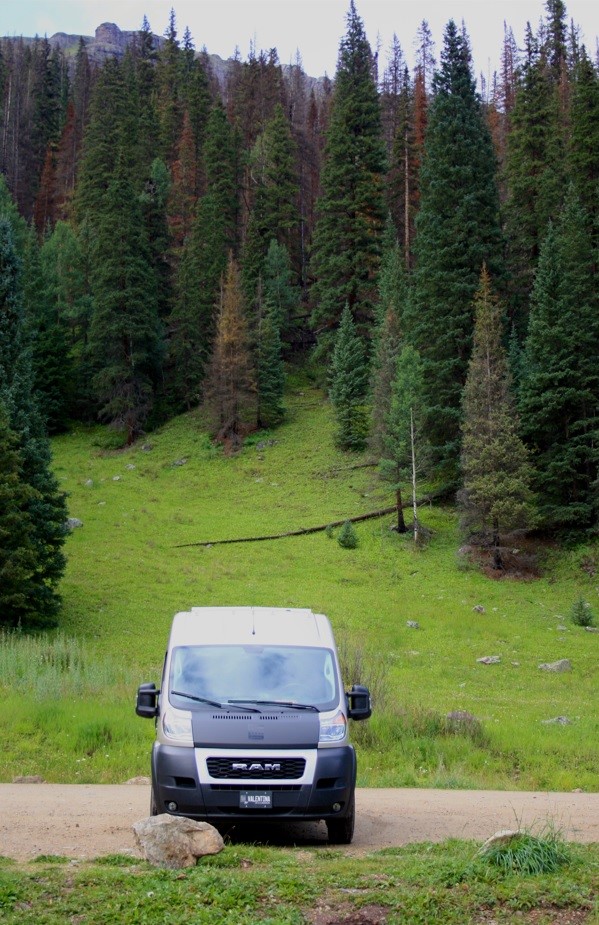
Parking for South Mineral Fork Creek Falls
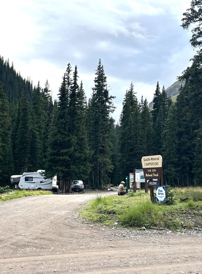
South Mineral Campground
HIKING TO SOUTH MINERAL FORK CREEK FALLS
Okay, so let’s get to the falls the CORRECT way. The picture below shows a view of the Ice Lakes Trailhead parking on the right the turn for South Mineral Campground on the left, and a continuation of FR 585 straight. At this point, it does recommend 4×4 vehicle, but if you’re only going to the falls, you don’t need it. We had already parked and were walking after talking to the camp host, so we just walked on the road.
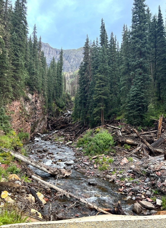
After only a few minutes and about 0.15 miles, you’ll walk on the road over this river, which is your stopping point (or parking spot if you drive).
Parking for South Mineral Fork Creek Falls
South Mineral Fork Creek
Once you see the river, look to the side of the road and you’ll find this sign (below) and a skinny trail leading down the river. Follow this for less than 0.1 miles until you see a second sign posted to a tree (also below). At this point, you’ll hike up following the water until the falls.
Beginning of Trail to the Falls
Second Sign to the Falls
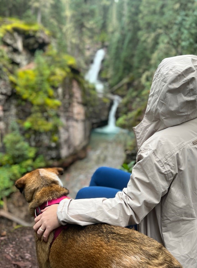
This trail is very short and simple, which is really nice if you plan on doing other long hikes while you’re in the area. It is low effort for high reward. Once you see the second red sign, you’ll be able to follow the river up and within a few steps, you’ll be treated to this beautiful, secluded, two-tiered waterfall. The water is so clear and blue! We went up close to the highest waterfall to feel the cool mist of the waterfall. Take time enjoying the views, taking some photos, and breathing in the fresh forest air.

SUMMARY
- South Mineral Fork Creek Falls is located about 15 minutes north of Silverton, Colorado off the Million Dollar Highway
- It is free to park and access the trail and is dog-friendly
- It is <0.5 miles total: short + sweet!
- We were the only ones there- it is secluded! So bring bear spray, please.
- you can camp on FR 585 in dispersed spots or in the campground (free and paid)
