EJ Peak: A Secret Local Hike in Arizona
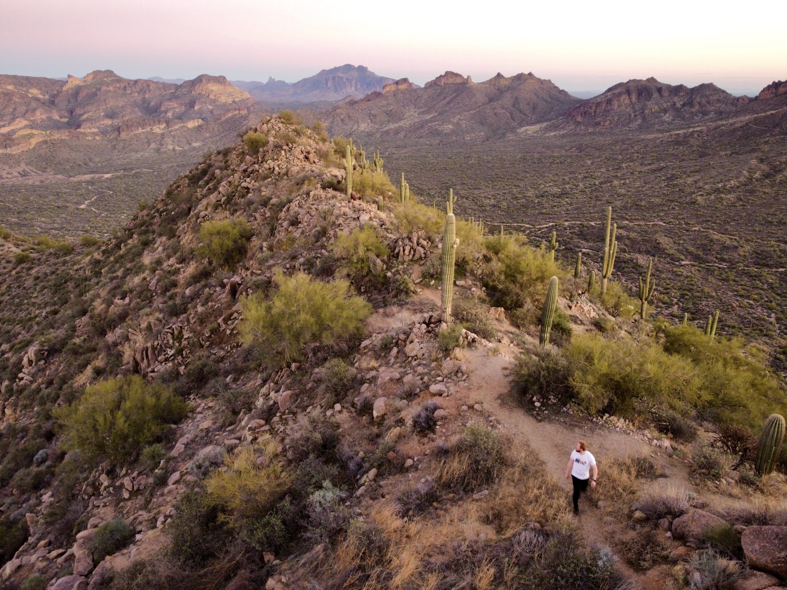
Phoenix, Arizona is an outdoor lover’s paradise. Whether you live here or you’re planning to visit the area, there’s an endless amount of things to do. I’ve lived here for 9 years and still find new things to do every year. If you’re looking for some of the best hikes in Phoenix, look no further than EJ Peak.
In today’s post, we are traveling out east to Mesa, Arizona to review one of the best hikes in Phoenix. If you are new here or from out of town, we separate “the valley” into the central, west, and east portions. The East Valley consists of Tempe, Chandler, Gilbert, Mesa, and Queen Creek. EJ Peak is in Mesa, Arizona which is about 25-30 minutes East of Central Phoenix. I know it’s a bit of a drive, but it’s worth it- I promise! (or your money back, haha).
Why Should I Hike EJ Peak?
This hike is perfect if you’re looking for a SHORT AND SWEET HIKE WITH MODERATE EFFORT FOR FANTASTIC VIEWS. To me, EJ Peak is one of the best hikes in Phoenix for a number of reasons. The most unique part about it is the LACK OF CROWDS. There are usually people in the parking lot who are camping or mountain biking, but few people actually go up the trail. In addition, there are 360 views at the top of amazing local features, including Usery Mountain, the Superstition Mountains, Four Peaks, and Salt River. It’s unique in its length too- it’s SHORT and sweet, which makes it a perfect after-work hike for me and one of the best hikes in Phoenix. If you’re hiking in spring (February-March), you may see wildflowers on this hike too.
EJ PEAK IS A CAN’T-MISS HIKE IN PHOENIX.
Where is EJ Peak?
WHAT IS THE BEST TIME TO HIKE EJ PEAK?
BEST HIKES IN PHOENIX: EJ PEAK
I’m telling you, EJ Peak is one of the best hikes in Phoenix. I love that it is quiet, short, sweet, and has some of the best views in Phoenix. HERE is the link to EJ Peak on AllTrails.
HIKE STATS
HIKING EJ PEAK
Depending on what time of day you hike, you may see off-roaders going in + out of the gate. You don’t need to open the gate to hike- just go under or over it. If you are off-roading, you need to pay for a permit online. The first 0.2 miles of the hike are sandy/gravelly because you are walking on the OHV route. I usually just walk on the side where it’s more firm.
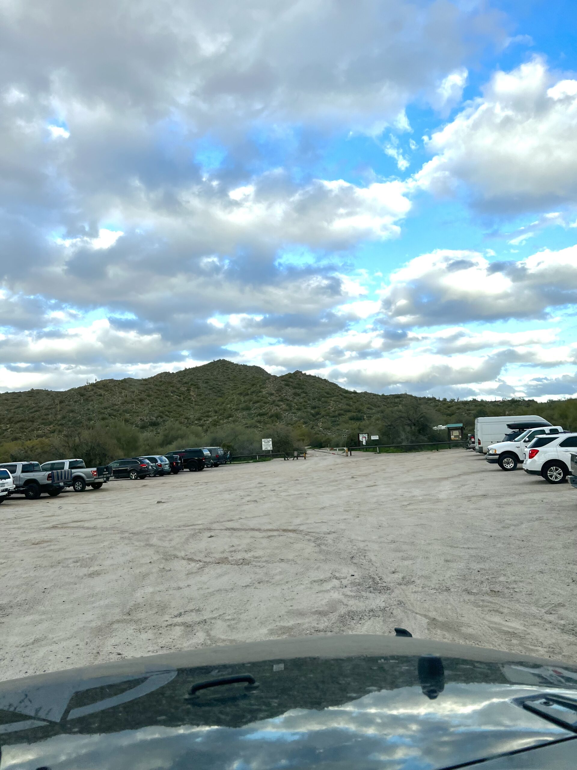
At the 0.2 mile mark, you will see the wide OHV road veer off to the right, and the trail will start to the left with an incline. This area of the hike has great views of Usery Mountain to your right.
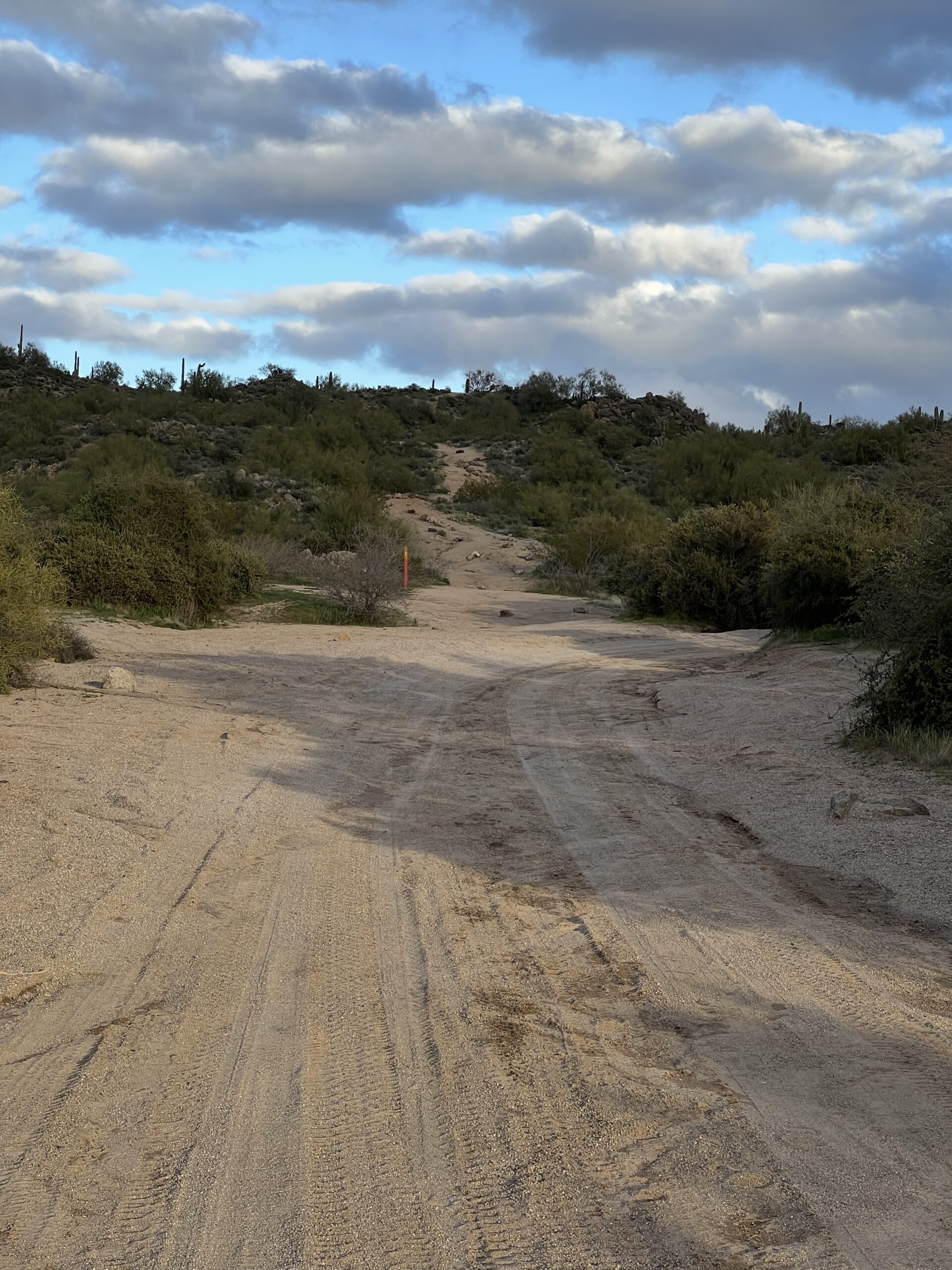
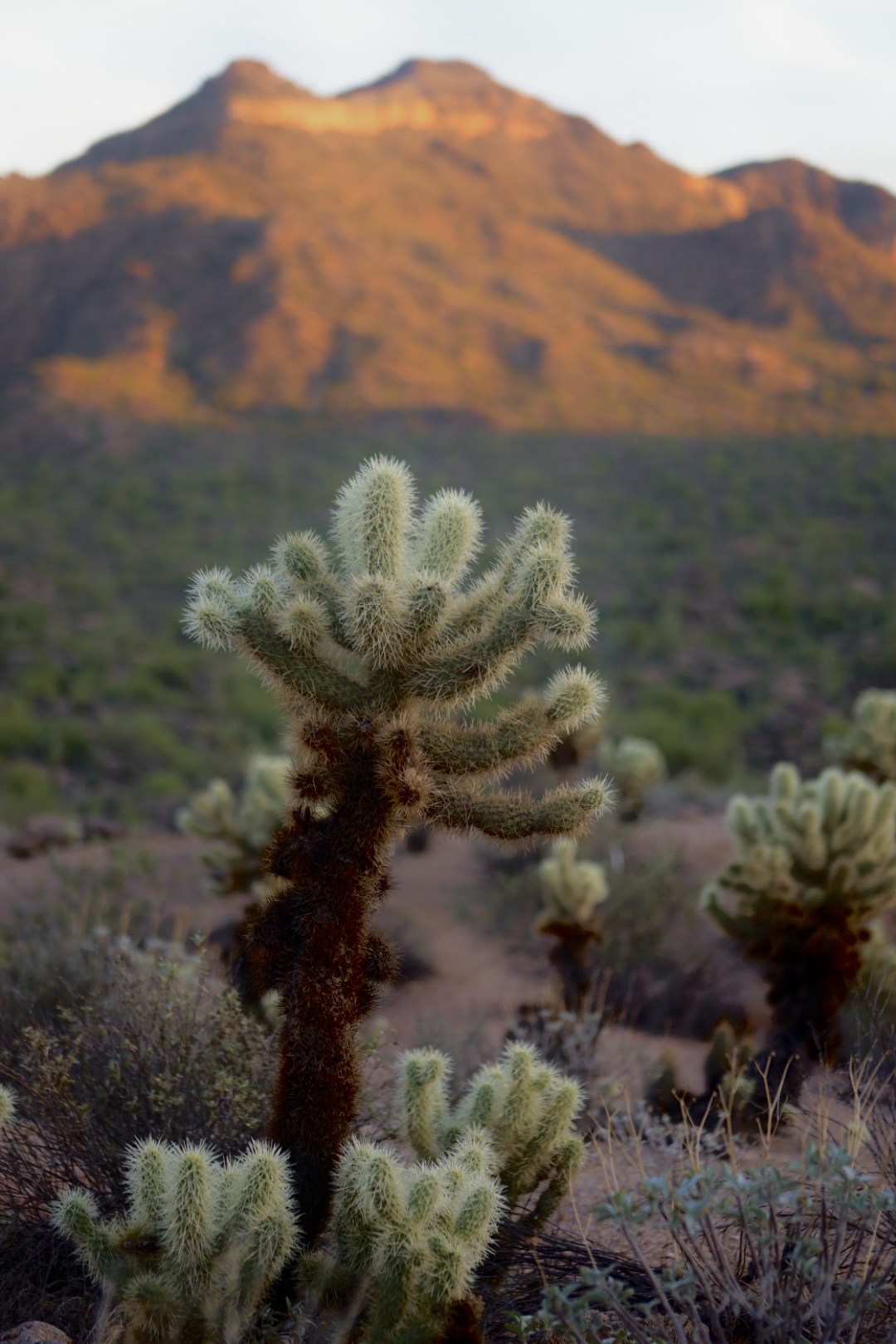
At around 0.5 miles, you’ll hit another fork in the road. TURN TO THE LEFT UP THE MOUNTAIN. I’m not sure where the straight trail goes. This is where the trail becomes steeper. There is also a lot of gravel- which isn’t a big issue for me going up, but back down it’s a bit difficult and slippery. No matter how many times I do this trail, I get winded here. Shortly you’ll get up to a ridge where you can see the Salt River and the Superstitions and you get a break with a flat trail for a little bit.
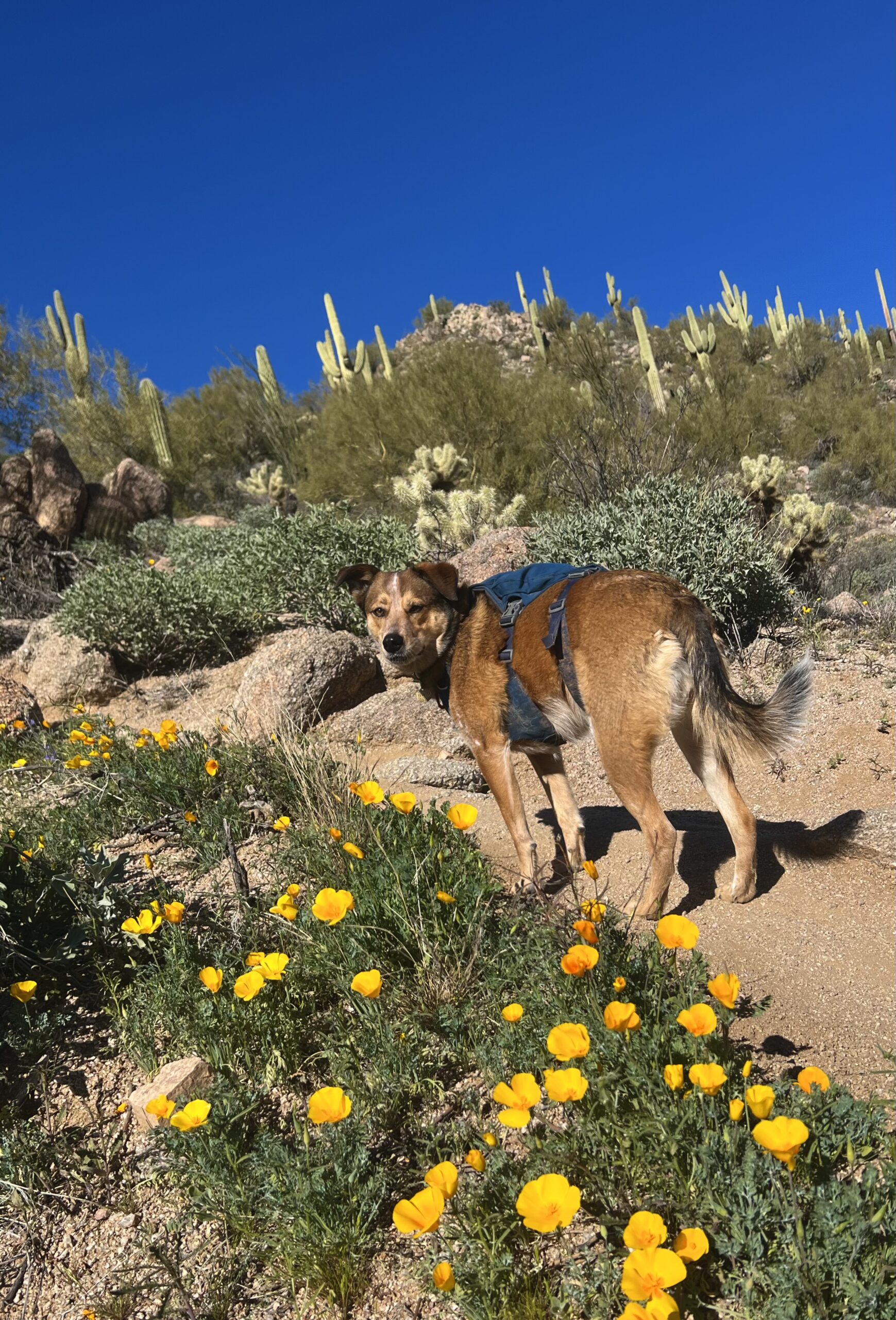
In the beginning of this post, I mentioned that this trail is dog-friendly. My rescue pup comes with me on every hike I do, and she loves this trail. If you hike in the springtime, you may see wildflowers on this part of the hike. I thought my dog looked so cute amongst all the wildflowers (taken 2/10/23).
If your pup loves hiking, read my post “Best Dog-Friendly Hikes in Phoenix.“
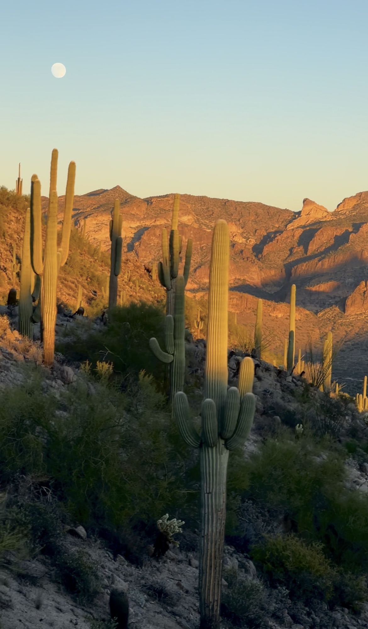
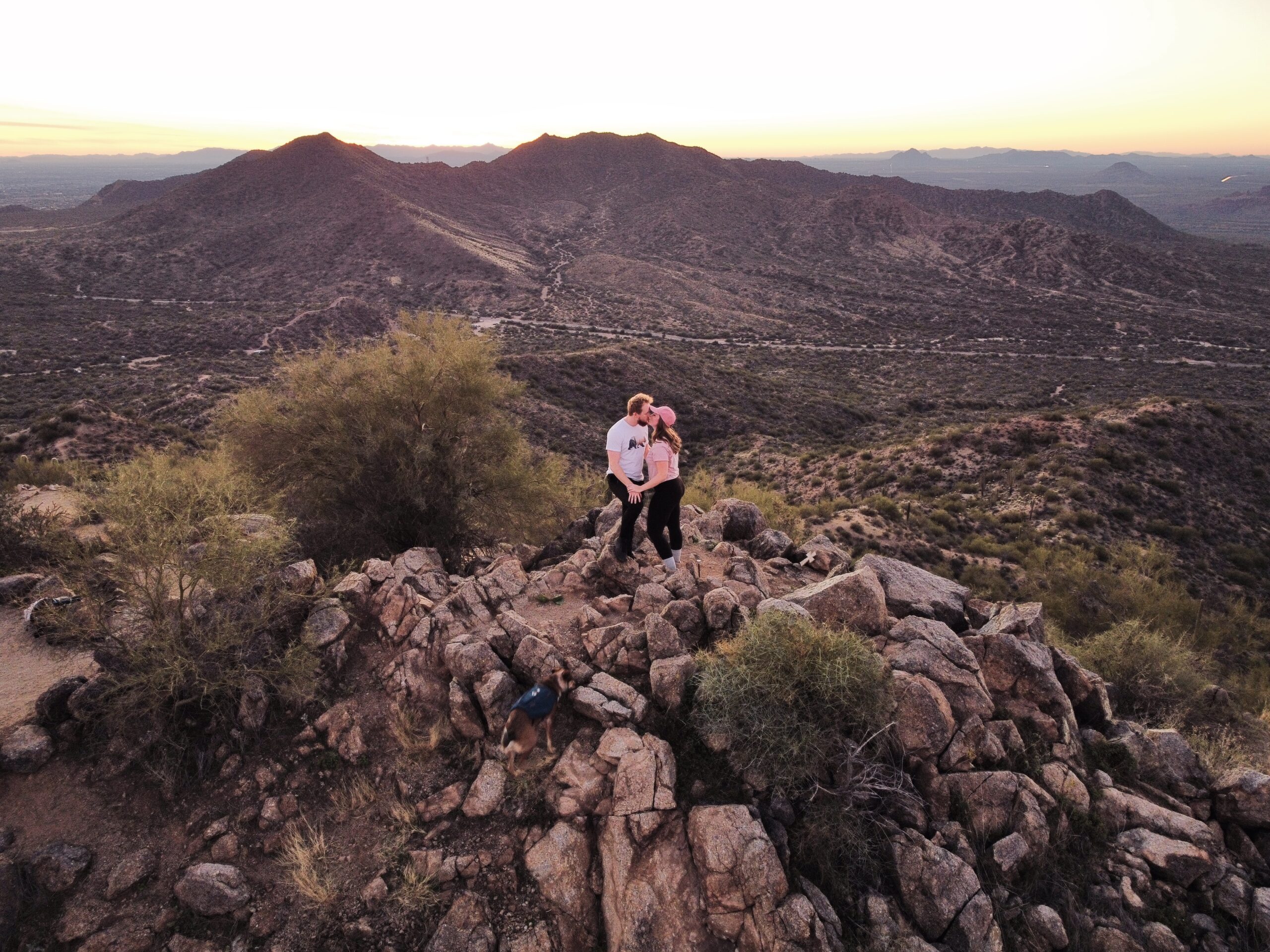
Once you hit another incline that goes up to your left, you know you’re at the final stretch. You’ll pass multiple switchbacks, but it’s quick I promise. Once you’re at the summit, you’ll be rewarded with 360 views. Honestly, this is my favorite mountain summit. I love the small flat area (I like to lay and soak in the sun and take a few deep breaths), I love the quietness, and the views are awesome.
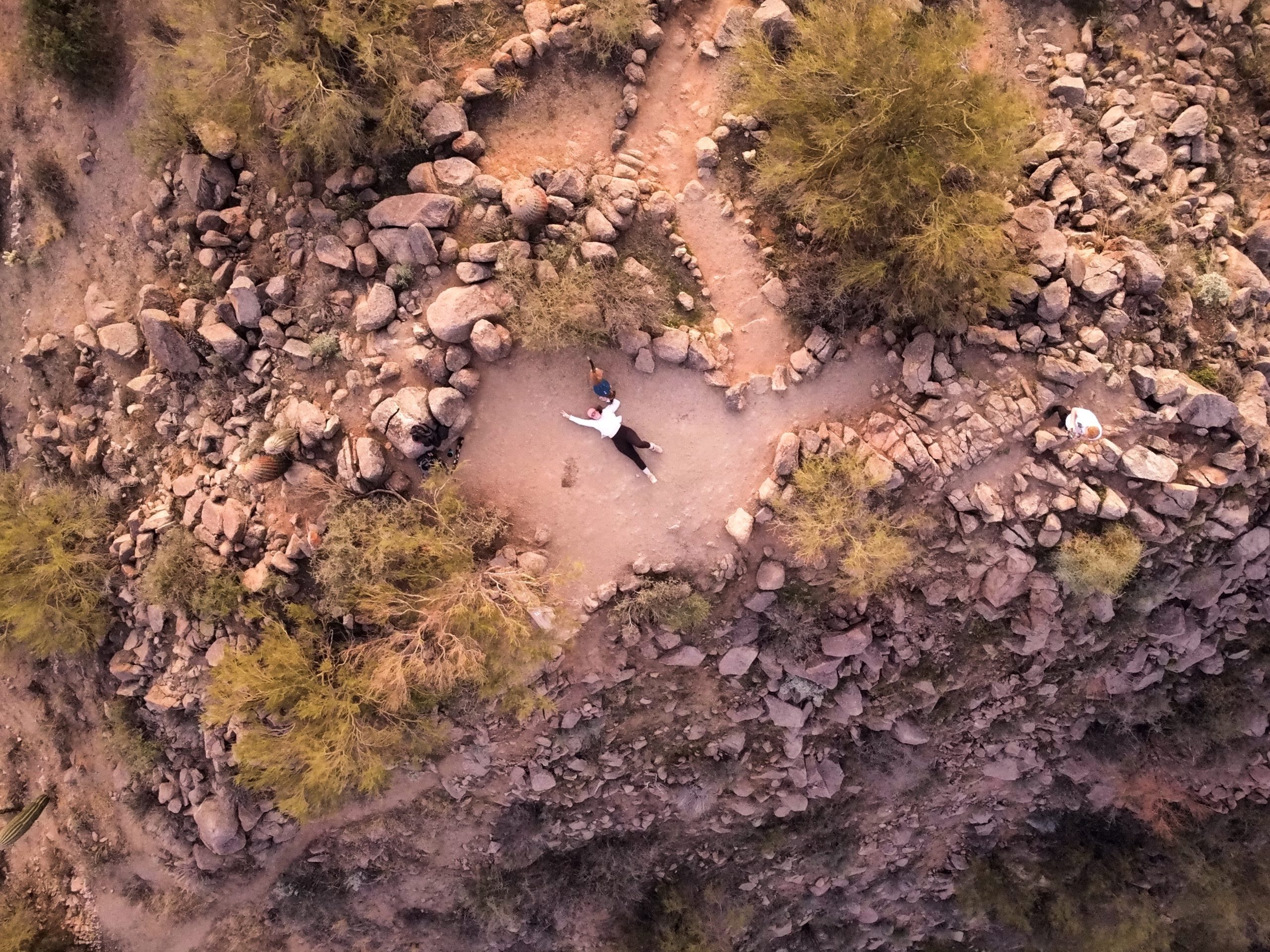
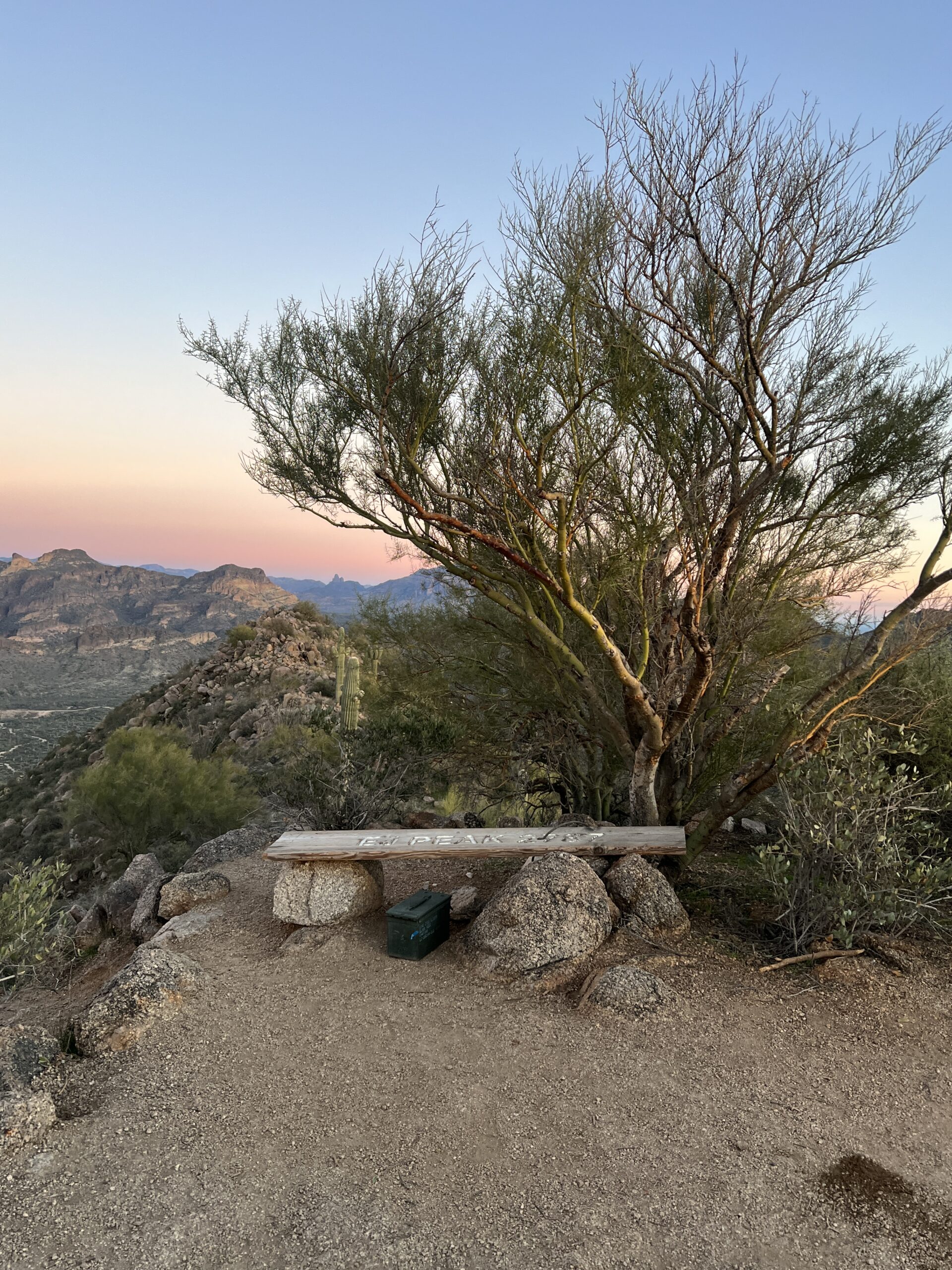
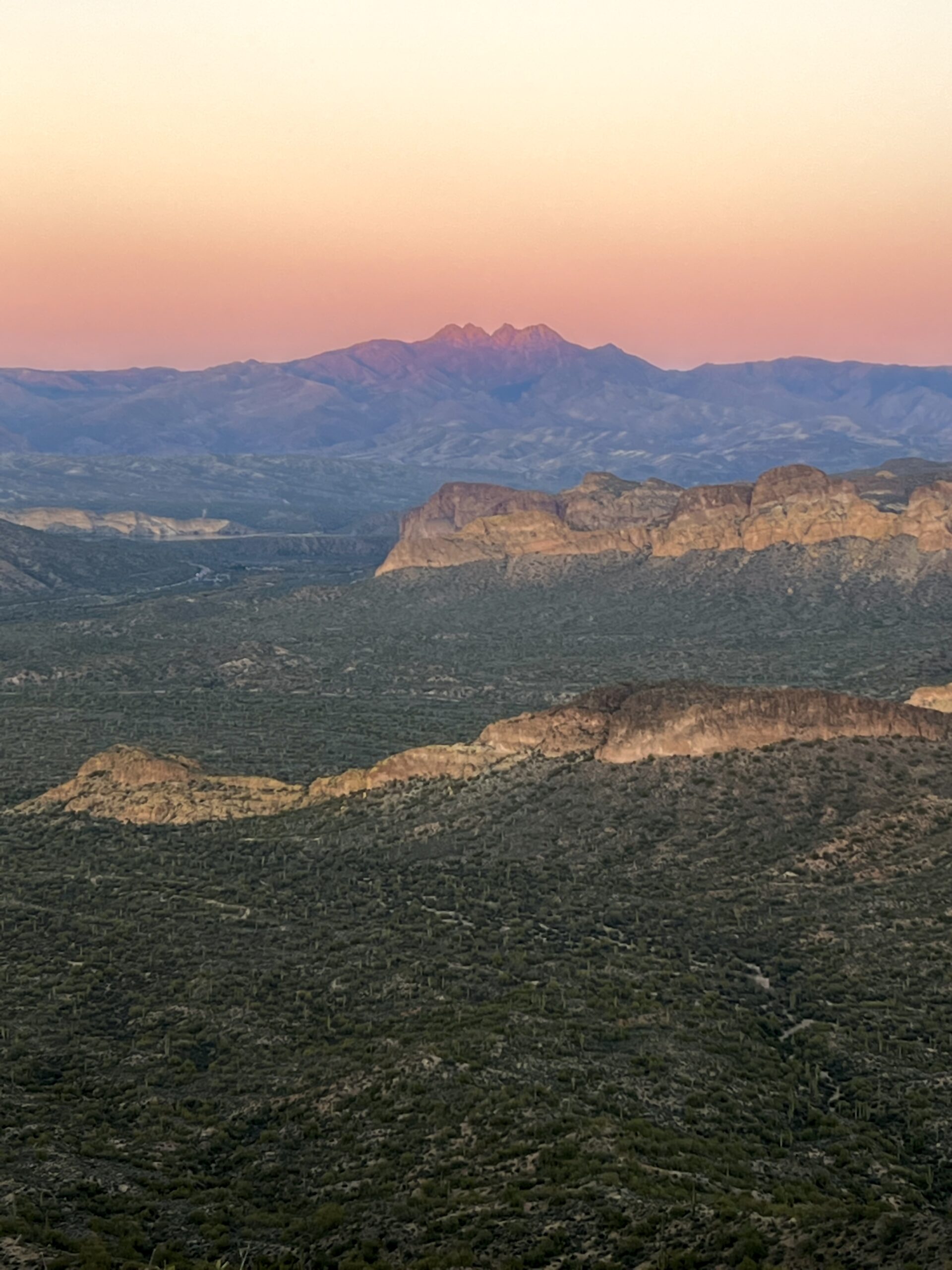
I always encourage you to take photos. It doesn’t matter if you post them or not, memories are so valuable. The nice thing about this mountain top is ANY angle is perfect. It’s beautiful up here. I usually have the summit to myself.
HIKING BY YOURSELF?
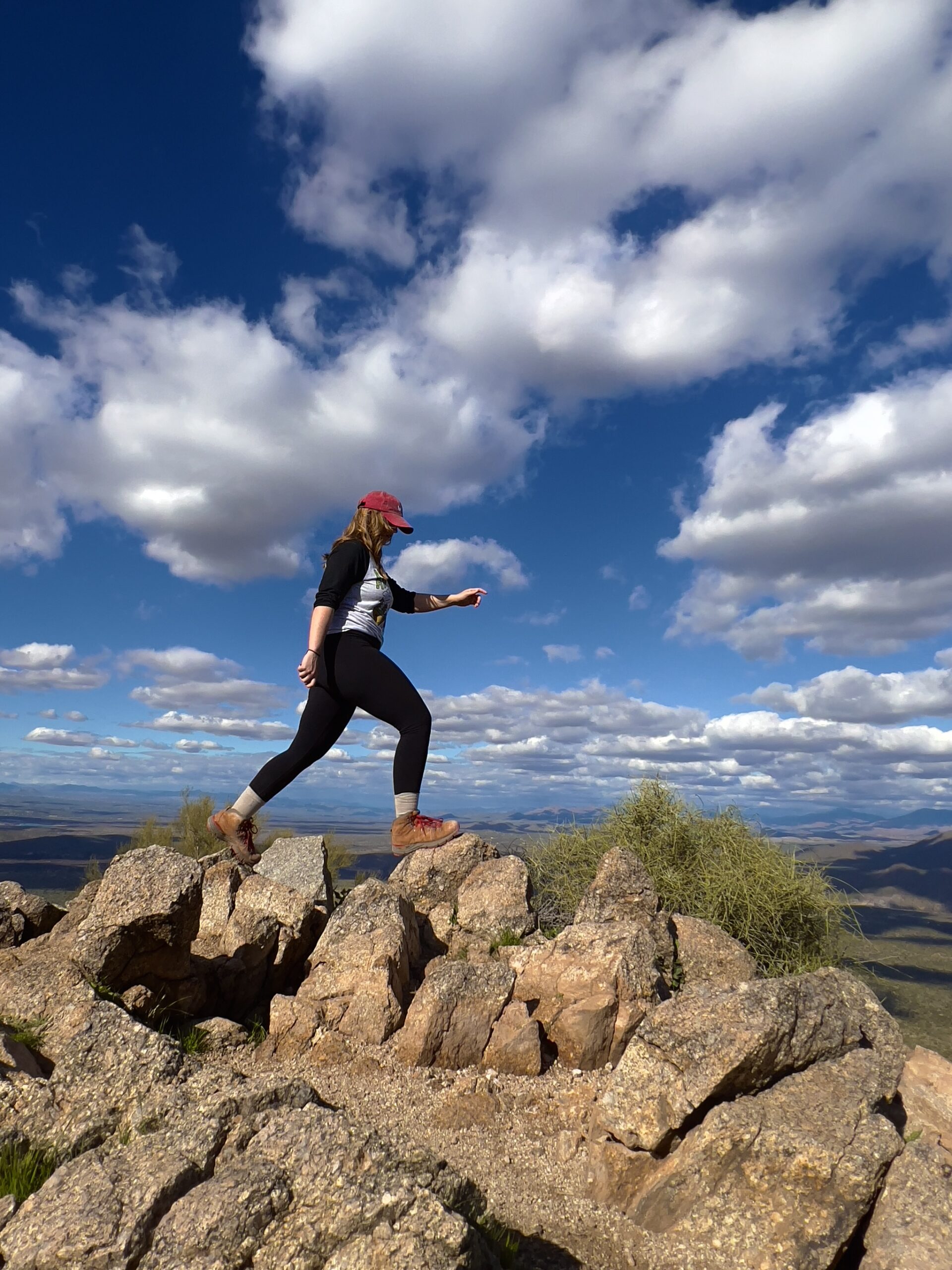
This $15 Bluetooth tripod is perfect to snap some photos of yourself or your group. I took the photo below with my tripod!
FINAL THOUGHTS
I really hope you enjoyed this short and sweet blog about my favorite short and sweet hike. If you’re interested in reading about other amazing hikes in Arizona, visit some of my other posts:
How to Hike to the Tallest Point in Maricopa County: Four Peaks
Best Dog-Friendly Hikes in Phoenix

