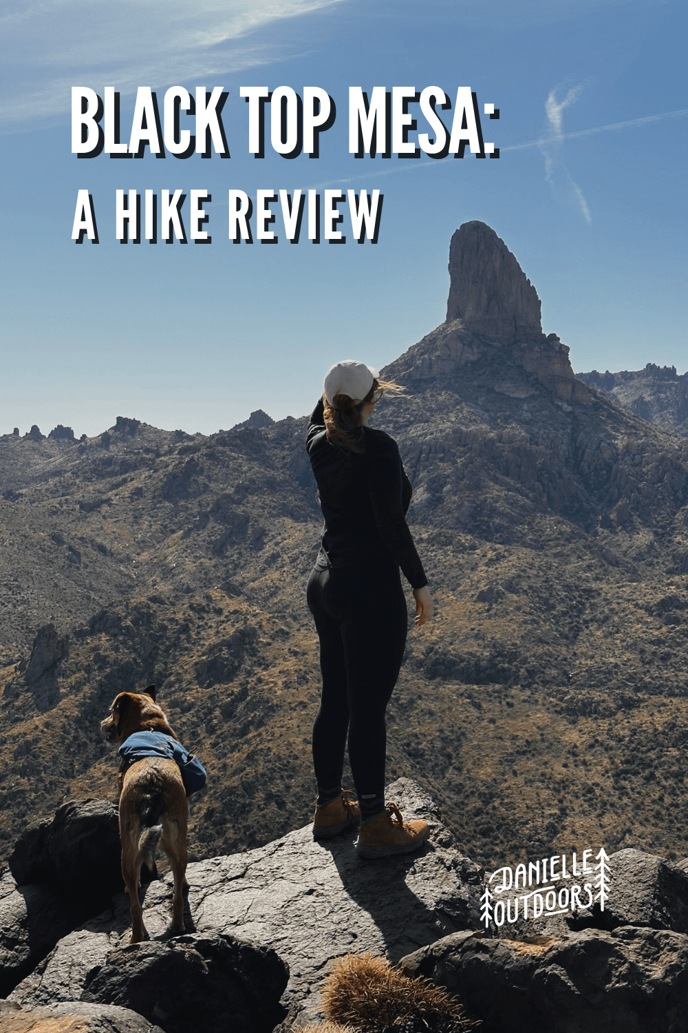
A Day Hike to Black Top Mesa in the Superstition Mountains
Phoenix, Arizona is an outdoor lover’s paradise. Whether you live here or you’re planning to visit the area, there’s an endless amount of things to do. If you’re looking for a challenge to get some extra miles in with stunning views, Black Top Mesa is perfect for you.
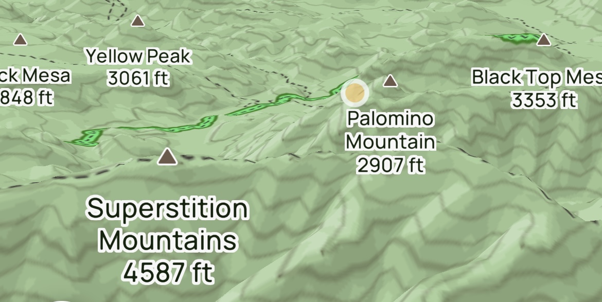
Black Top Mesa is located in the Superstition Mountains, located about 30 minutes east of Downtown Phoenix. The Superstition Mountain Range is full of history, splendor, and rugged beauty. They’re very unique compared to surrounding mountains, with hiking on all sides. No matter what type of hike you’re looking for, the Superstitions is perfect.
Why Should I Hike Black Top Mesa?
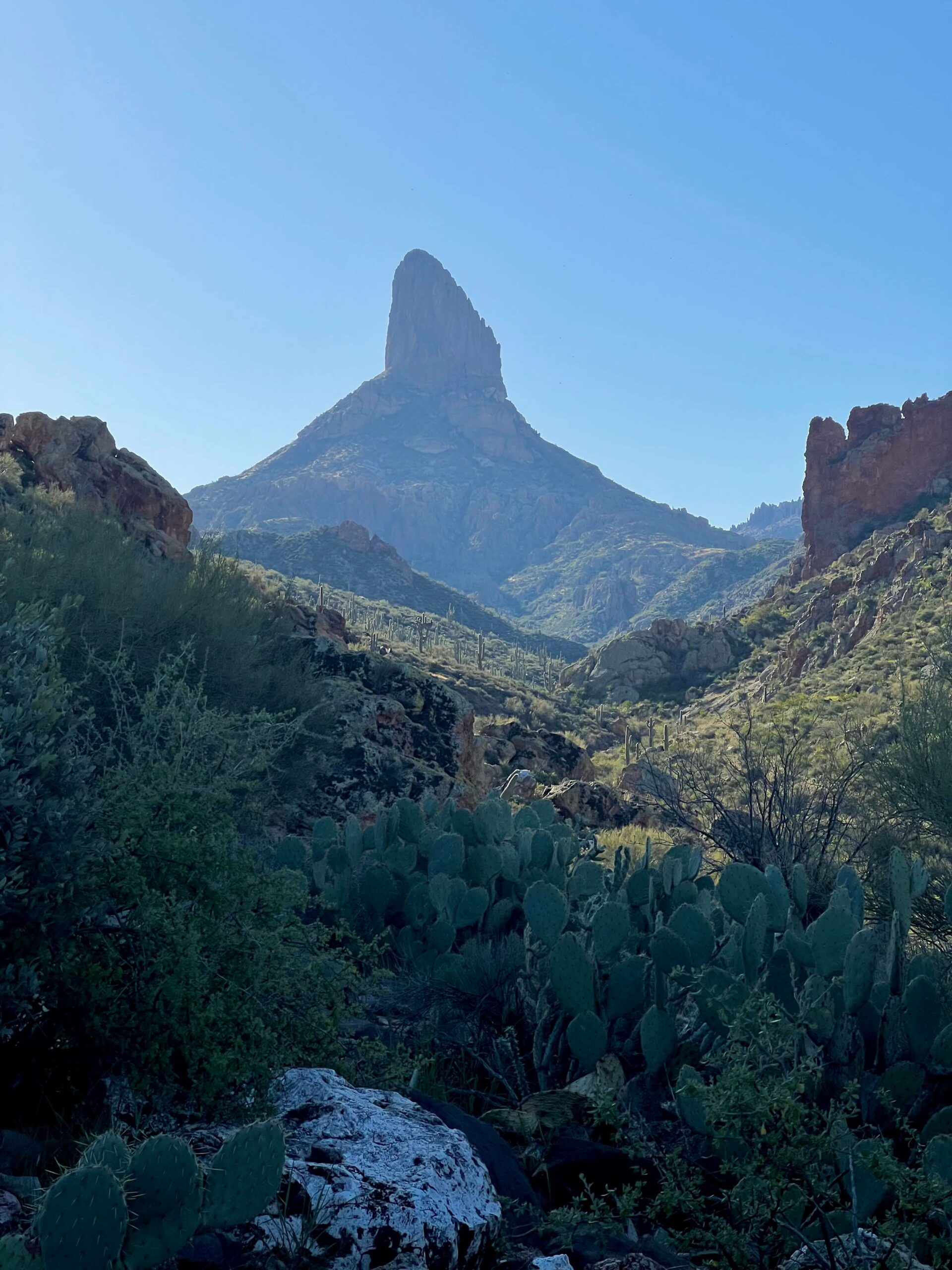
The Black Top Mesa hike is perfect if you’re looking for a LONGER, CHALLENGING HIKE with FANTASTIC VIEWS. The Black Top Mesa area is also popular for backpacking. Because it is a more difficult trail and you have to drive a few miles on a rough road, there is a LACK OF CROWDS. This hike also has amazing views of Weaver’s Needle, a well-known rock landmark that can be seen throughout the Phoenix Valley. There are multiple pretty water crossings on this hike as well, but they may be dry during the hot summer months.
BLACK TOP MESA IS A CHALLENGING, BUT BEAUTIFUL HIKE.
Where is Black Top Mesa?
PLEASE NOTE: THIS IS A ROUGH 4WD ROAD. YOU NEED HIGH CLEARANCE.
PRO TIP
The First Water Road leads to multiple other great trails in the Superstition Mountains, like Hackberry Springs, Massacre Falls, Jacob’s Crosscut, and more.
WHAT IS THE BEST TIME TO HIKE BLACK TOP MESA?
BLACK TOP MESA HIKE INFORMATION
Black Top Mesa is a beautiful trail deep in the Superstitions. I feel it is the perfect hike for you if you’re looking to increase your endurance in a beautiful area with few people.
HIKE STATS
HIKING BLACK TOP MESA
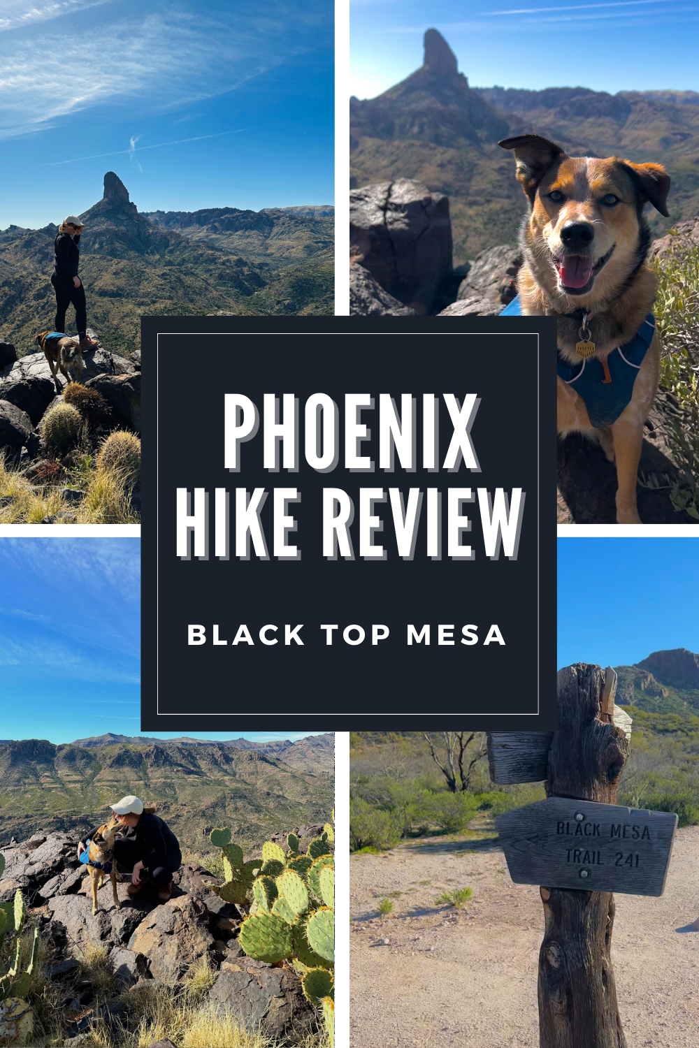
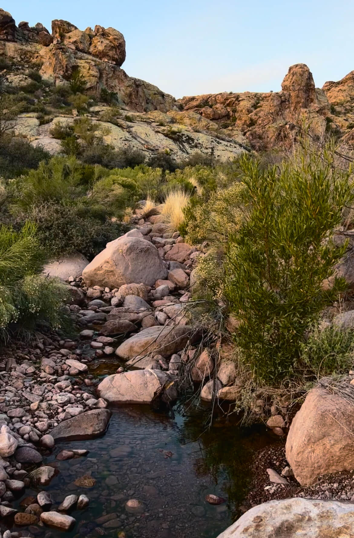
Once you get to the First Water Trailhead to park, you’ll see the trail for Black Top Mesa. There is a bathroom here, which was suprisingly clean. One thing I loved about this hike was the numerous water crossings. We went over maybe 5 or so each way. I love that you can find an oasis deep in the middle of the Superstition Wilderness.
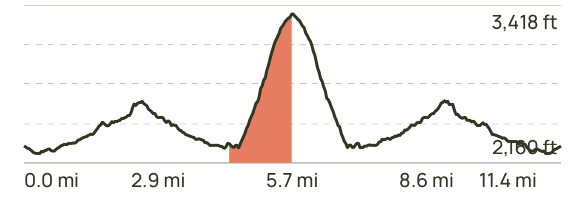
The trail is relatively flat for the first 3 miles, with only 400-500 ft elevation gain. It didn’t feel bad at all. If you bring a hiking buddy or some headphones, time flies fast. There are a few trail intersections. If you don’t already use it, I recommend downloading an AllTrails map on your phone, so you can folow the trail without service. THERE IS NO SERVICE ON THIS TRAIL.
NOT USED TO HIKING WITHOUT PHONE SERVICE?
I use a Garmin InReach Mini 2 to communicate with people at home. You can also call SOS in an emergency. 100% worth the investment.
Before you make your final incline, you’ll see scattered spots for backpacking. Truly the views would be incredible to wake up to, and it would be so quiet.
If you love camping in Arizona, read about my FAVORITE campsite near Sedona HERE.
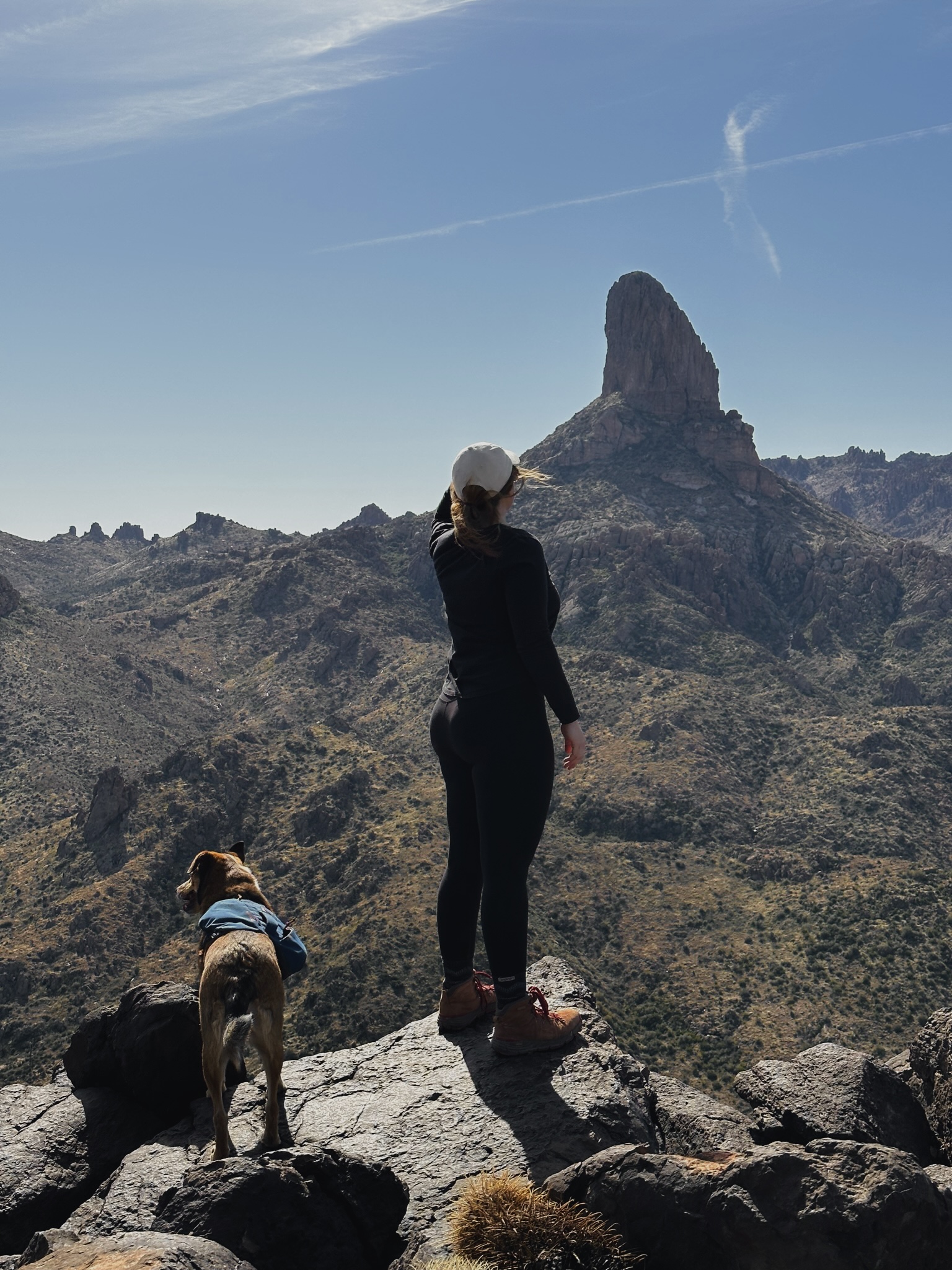
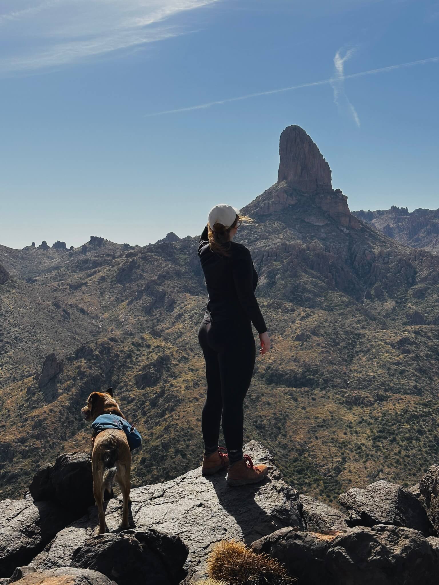
Of all of the steep inclines I’ve done on hikes, this one wasn’t too bad at all. Of course, we stopped to take a few breathers, but the incline was very manageable. Before you know it, you’ll have 360 views of the Superstitions and an awesome clear view of Weaver’s Needle.
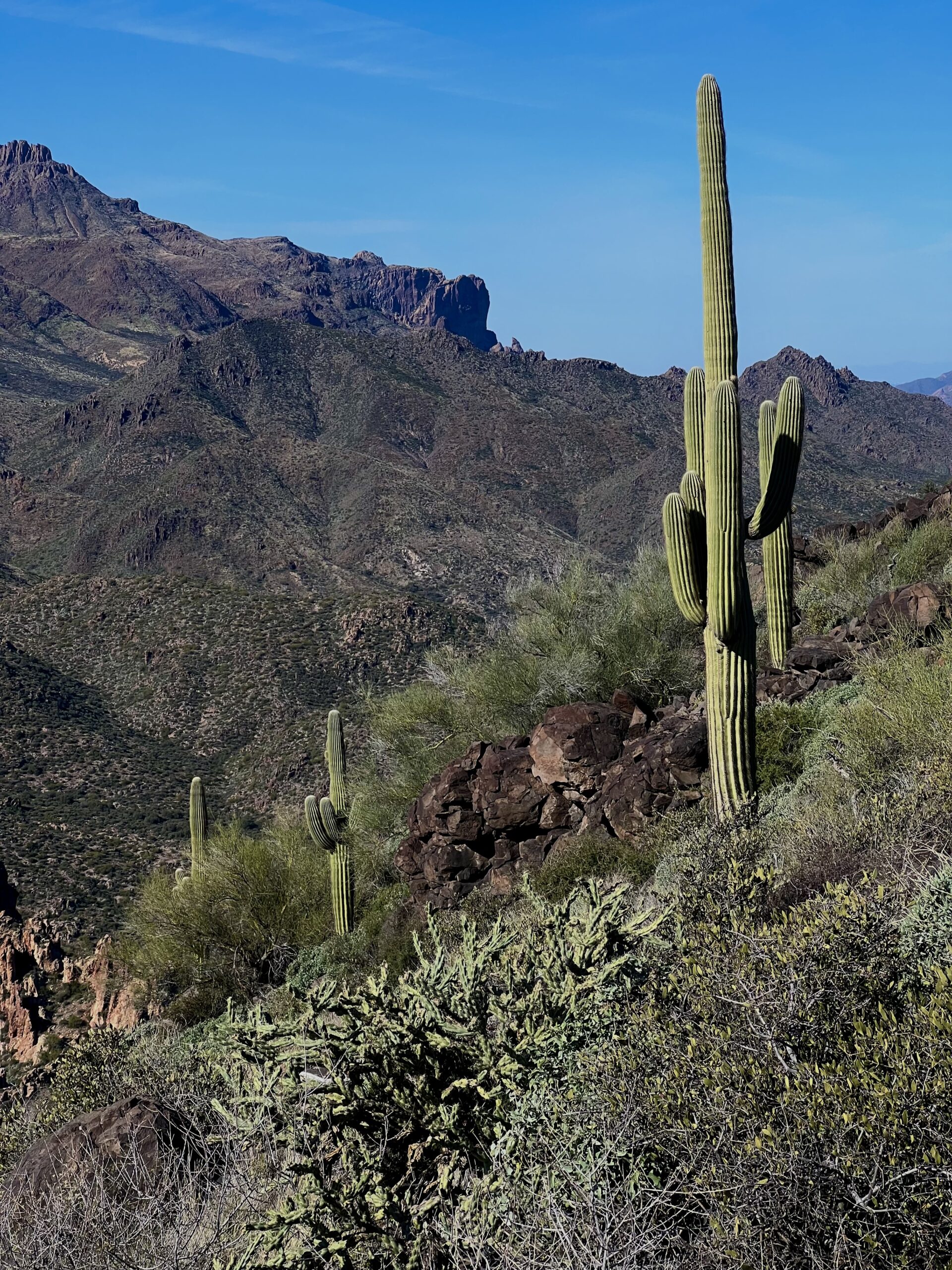
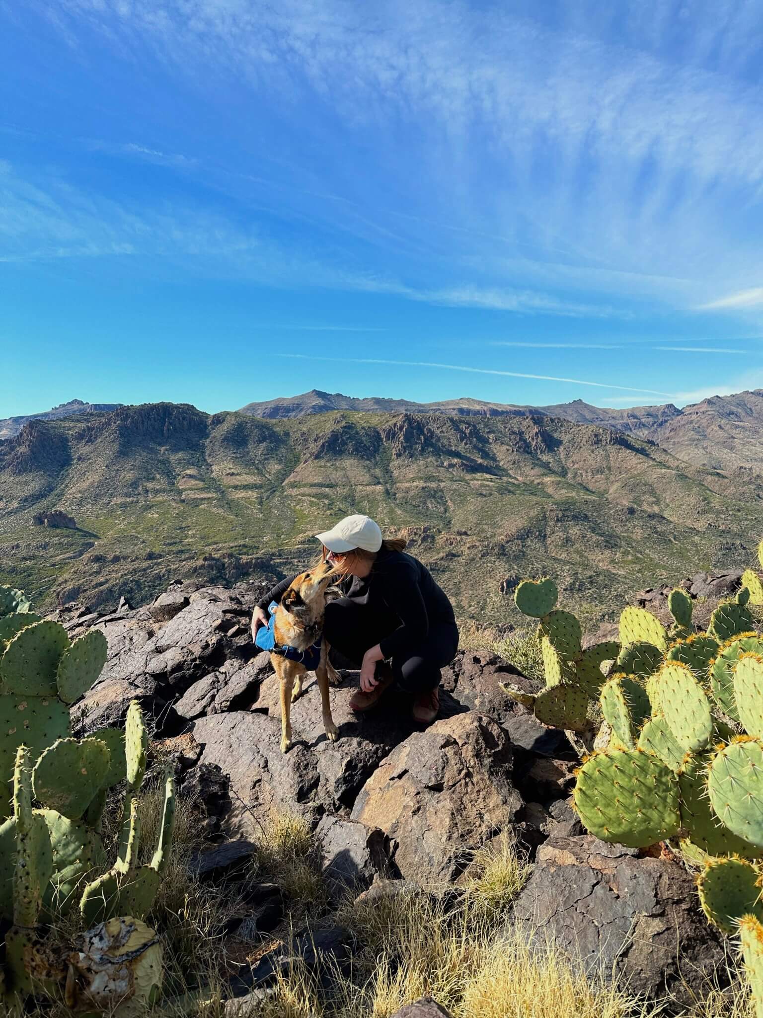
I encourage you to spend some time up here. Rest on the rocks, take in the fresh air, get some sun, and eat a yummy snack. I couldn’t see another hiker despite the multiple nearby trails, which was a nice change from the busy trails I usually hike on.
If you love taking your dog on hikes, check out my post “BEST DOG-FRIENDLY TRAILS IN PHOENIX.“
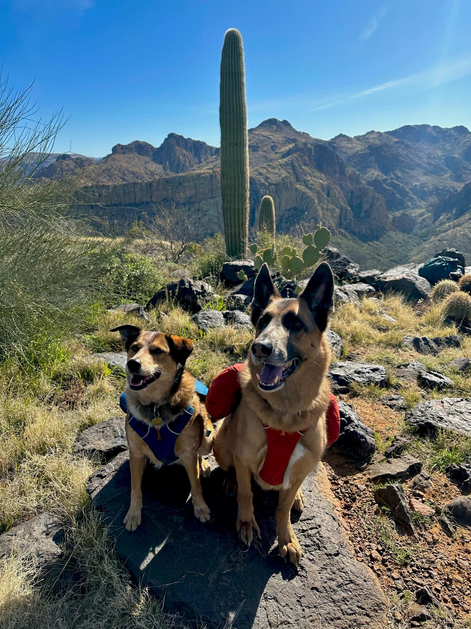
I previously have done many hikes longer and more strenuous than this, and the high was only 72, so I felt comfortable taking my dog. I never hike myself or with my dog over 90 degrees. There weren’t any technical jumps on this hike or areas you’d need to lift them up. Make sure they’re comfortable with water crossings (no strong current). Always pack your dog food and water, just like you’d pack for yourself.
HIKING BY YOURSELF?
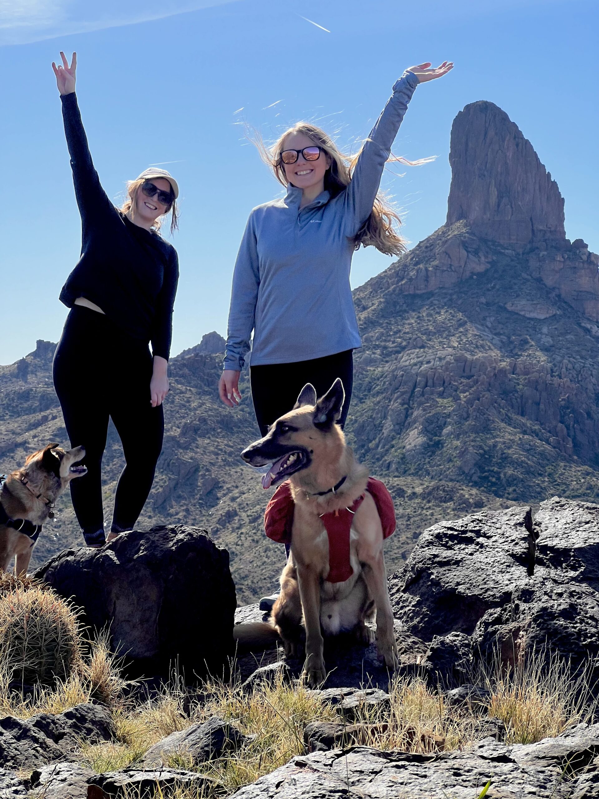
This $15 Bluetooth tripod is perfect to snap some photos of yourself or your group. I took the photo below with my tripod!
FINAL THOUGHTS
I hope you enjoyed my post. Please leave questions or comments below. I feel this trail is perfect for people looking for a good endurance workout with great views. Here are a few other posts you may be interested in.
How to Hike to the Tallest Point in Maricopa County: Four Peaks
Best Dog-Friendly Hikes in Phoenix
