The Edge of the World Sedona: My Favorite Free Campsite in AZ
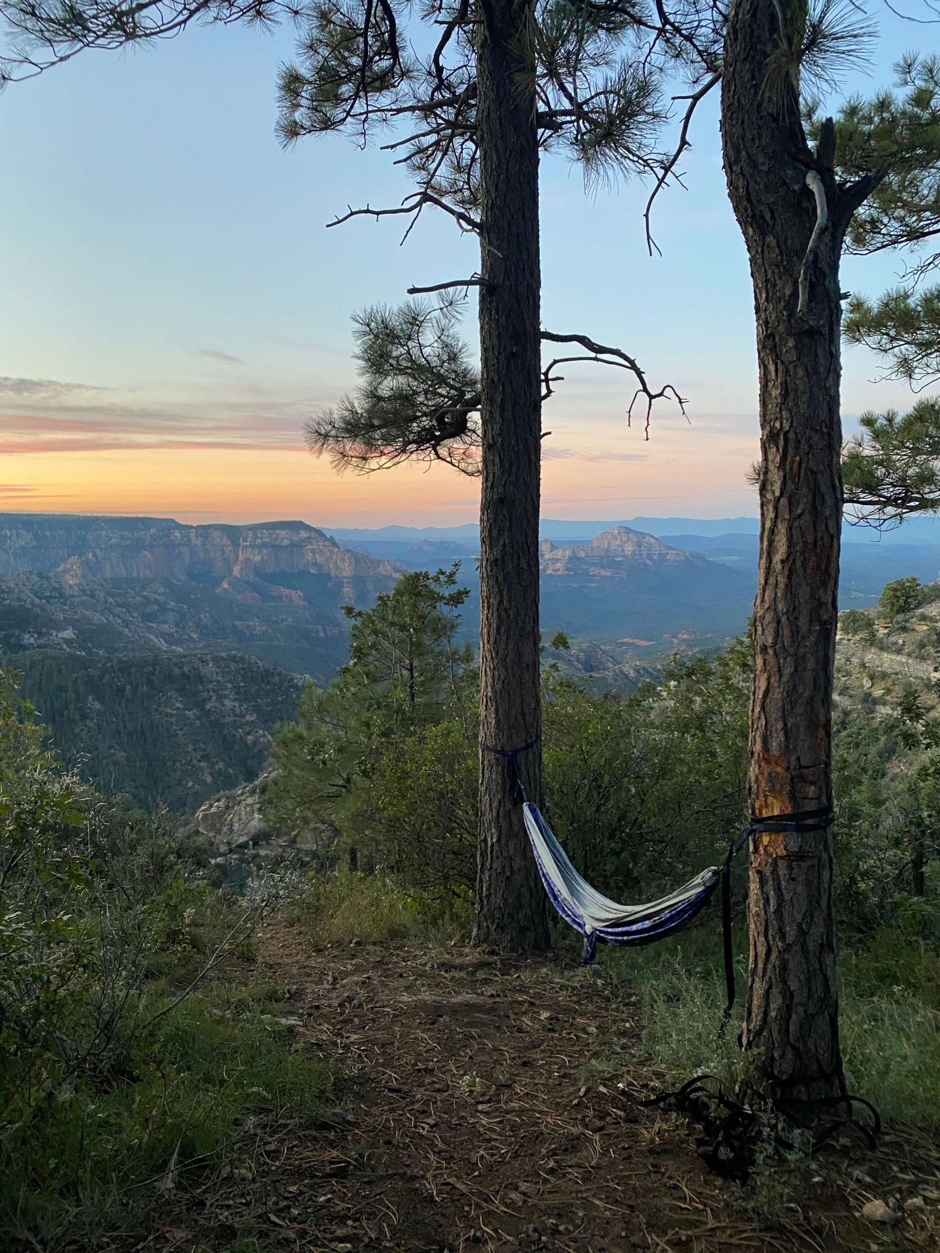
Have you been thinking about visiting the “Edge of the World” in Sedona? I think it’s one of the best free camping spots near Sedona, with the most amazing overlook over Sedona, Arizona. Your friends will most certainly be jealous of your experience. In this post, we will be going over directions on how to get to this beautiful spot and what you can do here!
Disclaimer: This post does include affiliate links, at no extra cost to you.
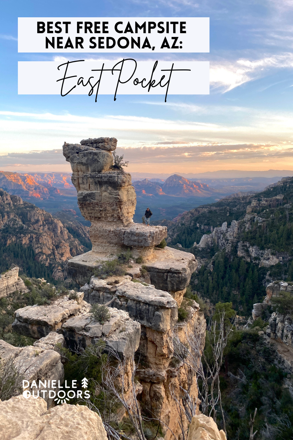
Best Free Camping Near Sedona: The “Edge of the World?”
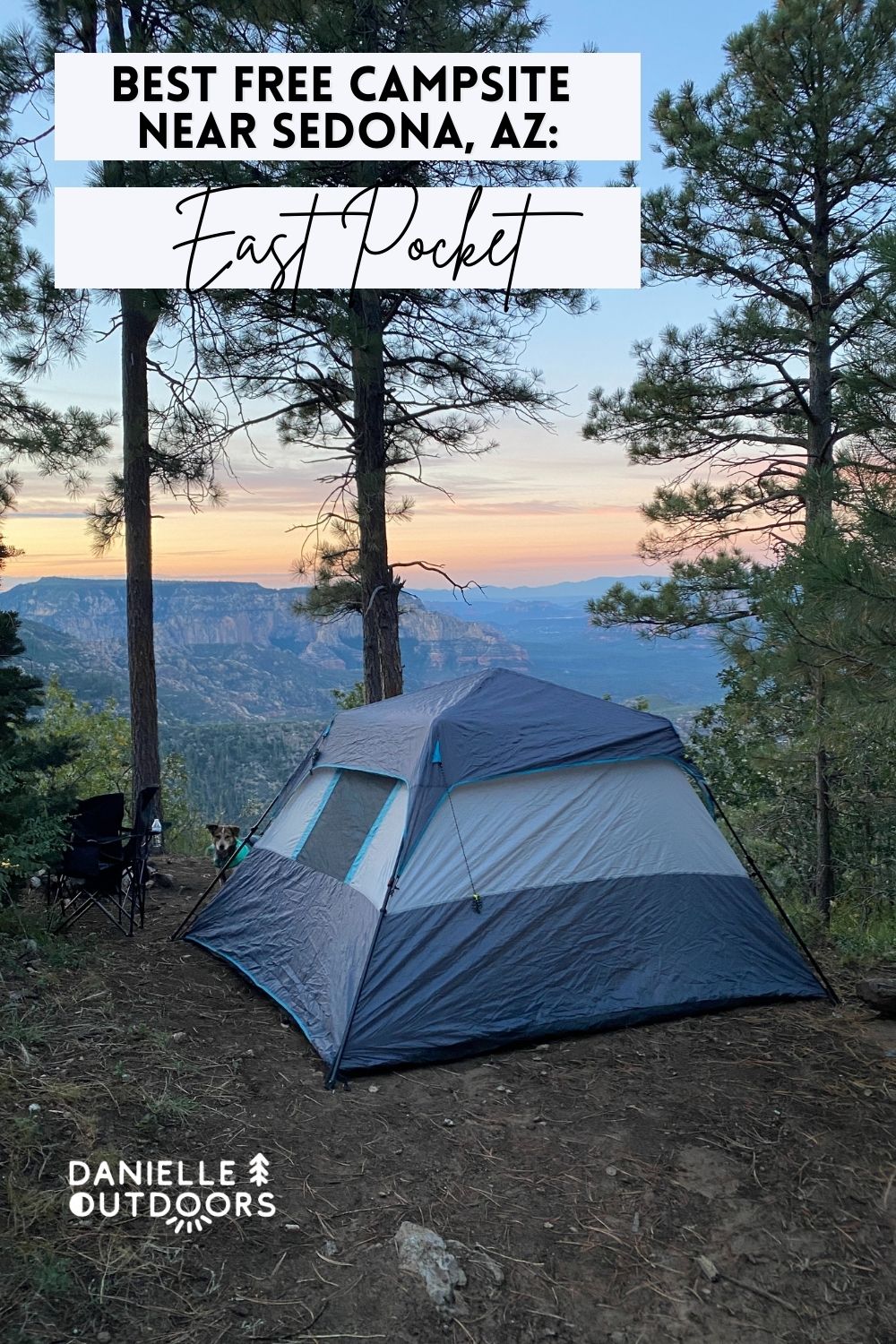
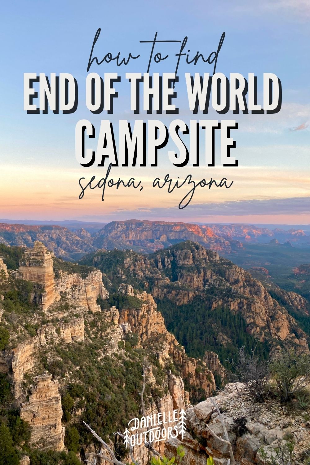
This beautiful place goes by East Pocket or the “Edge of the World” campsite, one of the most scenic areas in all of Arizona. It is termed “Edge of the World” or “End of the World” due to the abrupt cliffs that tower over the city of Sedona down below. It is worth it to drive here just to look and leave, but you get the full experience by pitching a tent right near the edge. Although it’s becoming more popular, information and directions are few and far between, which is why I’m here. Let’s go over how to get there!
A Note About Geotagging
Before we get into the location details, I wanted to briefly talk about the topic of GEOTAGGING vs. GATEKEEPING. Geotagging simply refers to tagging specific locations online. People who are against geotagging want to preserve and protect the land and limit visitation to what the area can handle. Gatekeeping would be the opposite- avoiding tagging locations or not sharing locations to keep others away from a location. People who are against gatekeeping believe the outdoors is for all, and we all should be able to equally access resources.
It is a very controversial topic these days. There is good and bad about each side. I personally like geotagging. Most of the places I’ve been in my life living in Arizona was because of social media. I want to share that joy with others, and like giving directions so people find it safely. If you don’t agree with me, that is OK. There is room for all of us to coexist. All of our opinions have validity. Life is full of GRAY AREAS. No matter what, please Leave No Trace.
Other Names
This beautiful spot has many names- The END of the world Sedona, the EDGE of the world Sedona, Jenga Rock, and East Pocket Knob. I may refer to different names throughout the post.
Where Is The Edge of the World Campsite?
The End of the World/ Edge of the World campsite (people call it both), is referred to as Sedona- but I want to make a distinction. It is not IN Sedona, it’s ABOVE it. It’s over an hour drive from Downtown Sedona, even though it’s only a few miles up the canyon. It overlooks Sedona. You have to drive up to Flagstaff and then back down a dirt road to get to it. It is within Coconino National Forest.
TL;DR
Cost: FREEE!
Location: 34.979889, -111.794281
Dog Friendly: Yes
Services: None- it’s dispersed. No water, toilets, showers, etc.
Limit: 14-day stay limit
Campfires: Yes- but be aware of local restrictions
Hours: 24/7, but not open in Winter
Download my 40-Page Arizona Camping Guide
I’ve created a FORTY PAGE GUIDE outlining all the best free and paid campsites in Northern Arizona, including Sedona.
It can be hard to spend hours researching campsites, trying to figure out were they’re located, what they look like, the price, and the amenities. With my guide, those days are over! I give you everything you need to know, with links to my Google Maps AND it’s in a PDF so you can access it any time!
How Do You Get to the Edge of the World in Sedona?
I thought I could just type in “East Pocket” into Apple Maps and it would take me exactly where I needed to go- it’s got to be self-explanatory right?? Not. I’m giving you all the tools you need to not make the same mistakes.
I know I posted Google Maps above, but I personally had more success with Apple Maps when trying to find East Pocket. I suggest typing these coordinates into your phone: 34.979889, -111.794281. Make sure you do this while you have service so it will still give you directions until your destination. This is exactly where I chose to camp! Let’s go step by step.
Once you get off I-17 onto 89A, you will follow the roundabout to S Beulah Blvd, turn left on Purple Sage Trail which turns into FR532 (dirt road). This part is easy to follow on Apple Maps. Soon you will hit a T intersection, where you will turn LEFT onto FR231/ Woody Mountain Road.
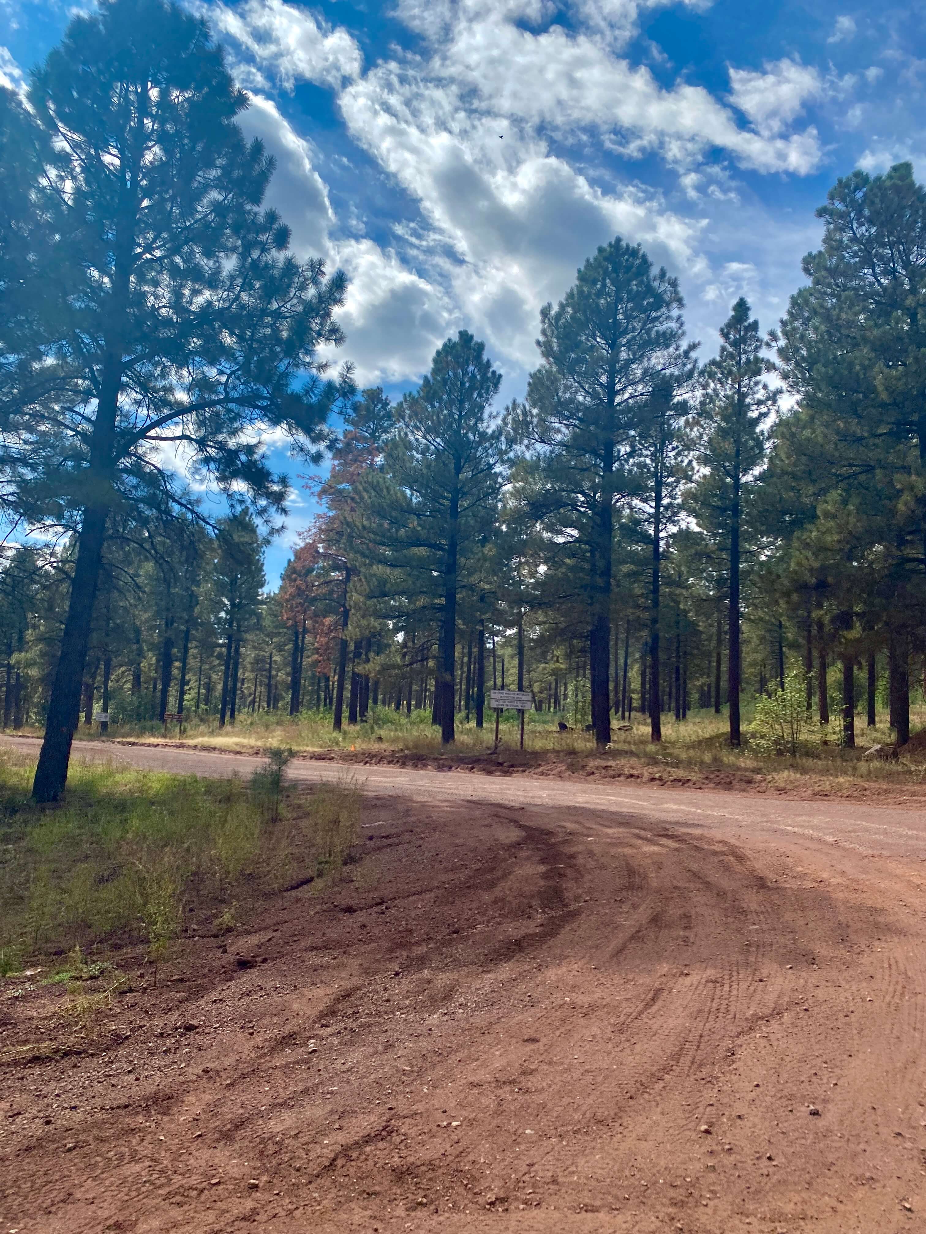
Now that you’ve found the road, you will go straight (NO SIDE ROADS!) until you see a break in the trees to the right. It is about 24 miles. Apple Maps told me this would take an hour and a half to get here, but I logged 50 minutes. After a few miles, you will see beautiful meadows to your right.
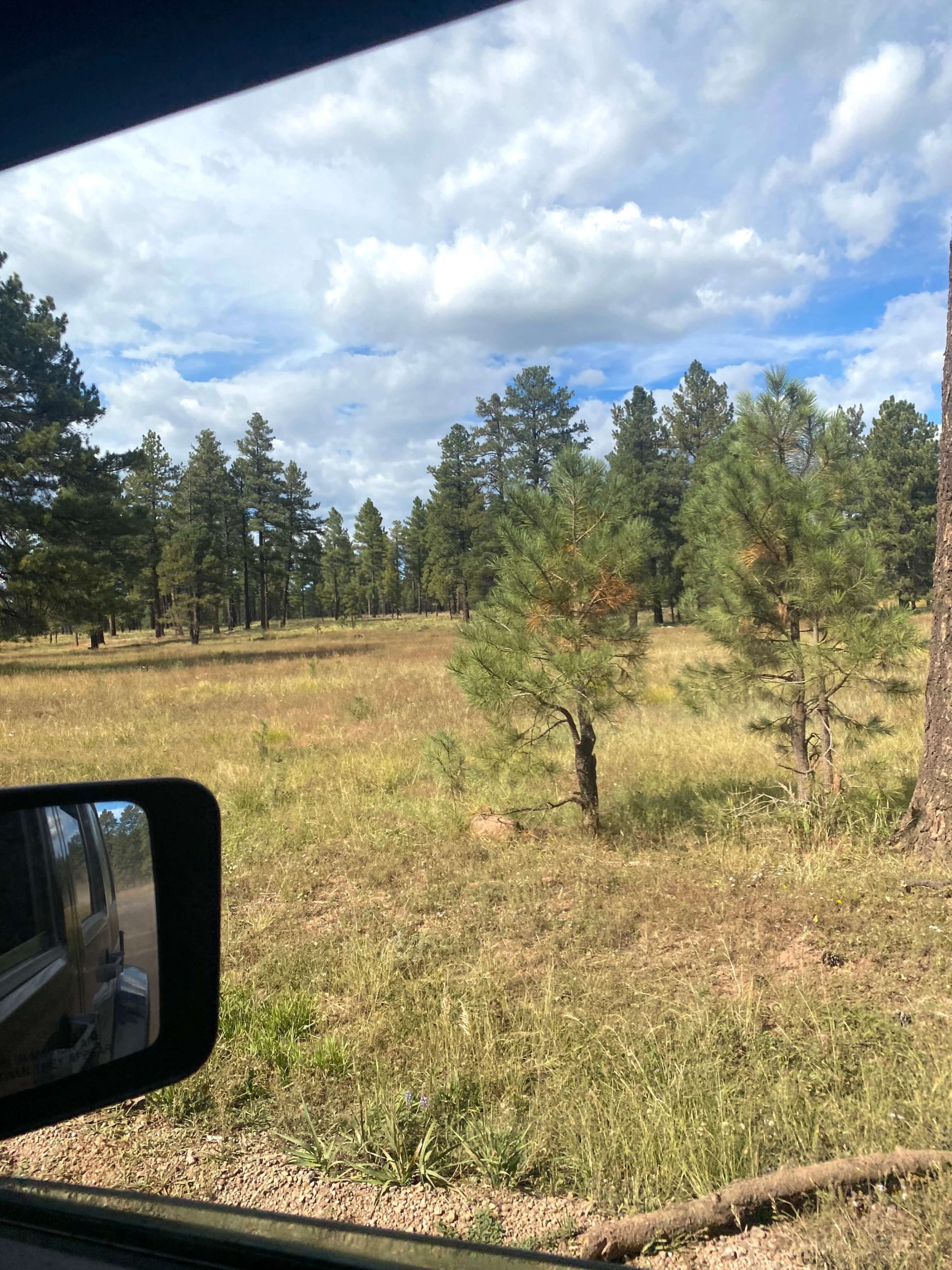
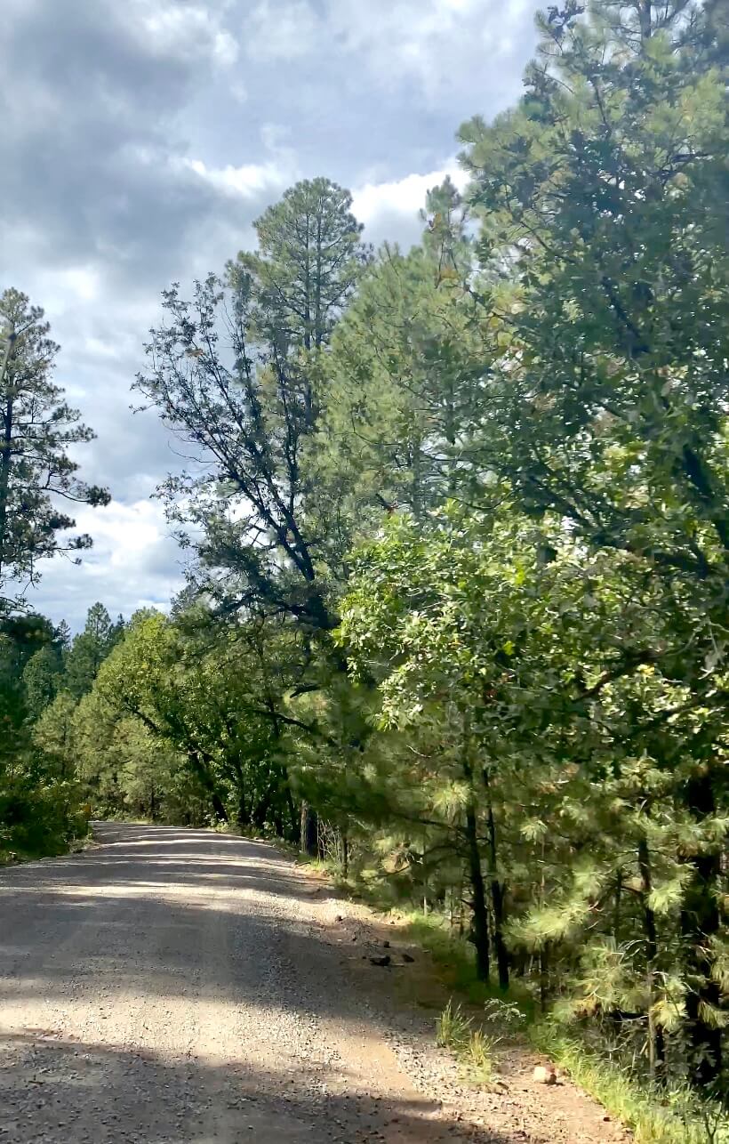
We drove our Jeep Wrangler and were able to cruise about 30-40 mph most of the time. I was surprised by how well-maintained the road was! My husband drives a Mitsubishi Outlander Sport and said he would feel comfortable driving this road. As you get closer to the campsite, there are some areas you’d have to drive very slowly if you don’t have a high-clearance vehicle.
Break in the Trees
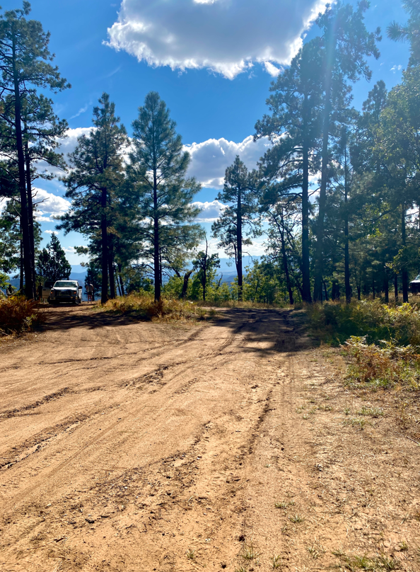
I know it sounds like goofy advice to wait for the break in the trees, but I followed this advice and it worked perfectly for me! You will be able to see the skyline and as you keep driving you will see the End of the World to the right.
Where to Camp at the Edge of the World Sedona
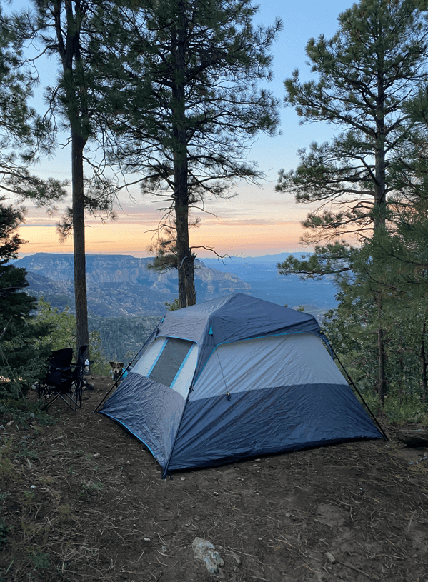
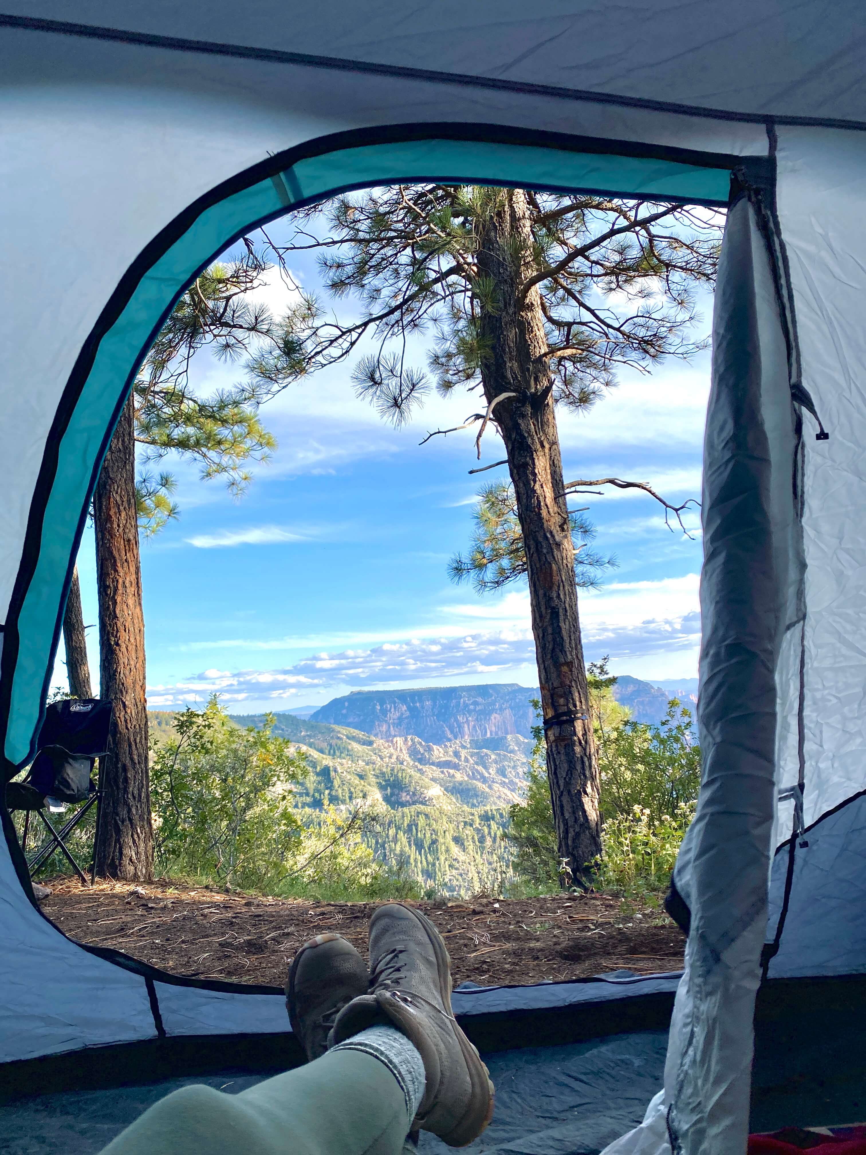
As I mentioned earlier, the exact coordinates of my campsite were 34.979889, -111.794281 aka the best free camping near Sedona. When we saw the break in the trees (turned right off the main road), we made another quick right along the ridgeline and a minute later saw this perfect spot to the left. This is the proclaimed “Edge of the World” in Sedona. The week prior to our visit, it rained so the area was slightly damp, and we did need 4WD to reverse out of our spot. The best part about this area is the endless amount of campsites right near the edge.
If you’re driving a car without 4WD, I would try to stay near the break in the trees because the roads are easier to navigate. There are multiple other side roads with campsites, but these roads are much more rough.
The best part to me is that EVERYONE can have epic views.
What to Do Near the Edge of the World Sedona
Hike
There is one hike to note near the Edge of the World- AB Young Trail. This trail actually starts off the 89A in Sedona in the Bootlegger Parking lot and climbs all the way up the canyon- it is HARD! If you’re going to be camping on top, you may choose to climb down it too. To get there, you’ll go to the road closure fence (where Apple Maps leads to if you type in “East Pocket”) and hike 1/2 mile past there before you start climbing down. There is a lookout tower over there too, but you can’t climb it.
We didn’t hike due to being there for only 1 day, but I would definitely try it next time. You can also hike along the rim near your campsite.
AB YOUNG TRAIL #100
Distance: 4.5 mi roundtrip
Elevation Change: 2,086ft elevation change
Difficulty: Hard
Duration: 4-6 hrs
Location: Starts at Bootlegger Recreation Area
Dog Friendly: Yes
Parking Fee: $5 Red Rock Pass/ National Parks Pass if you start at Bootlegger, Free if you start at the End of the World $4 if Resident or Military. An attendant takes your fee and shows you where to park.
Off-Road
This area is PERFECT for your ATV/UTV/Razor. I saw plenty of people zipping by on theirs. You’d be able to take every side road and discover a lot more of the canyon than you could on foot or by car.
Relax
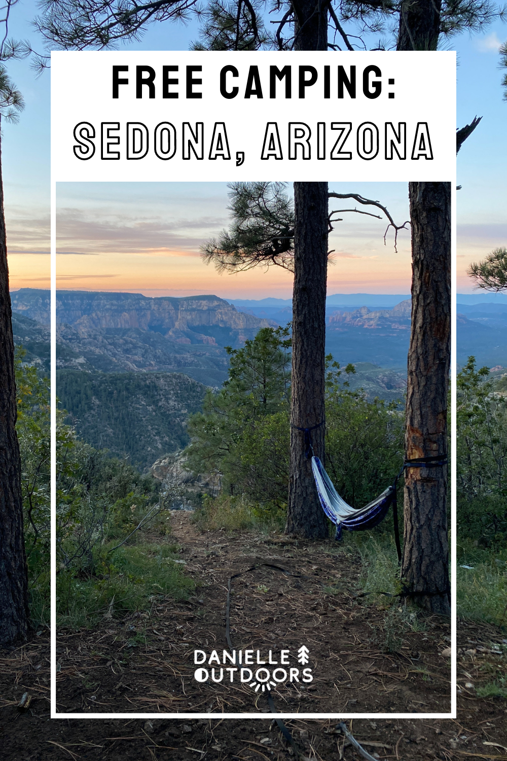
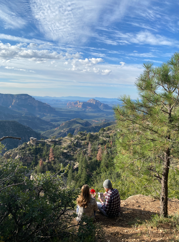
My favorite part of this trip was doing nothing! Everyone has an amazing view right out of their campsite, so pull up a chair or a hammock and relax and take in the views. Enjoy the peace and quiet! It’s definitely the best free campsite near Sedona.
How to Find Jenga Rock
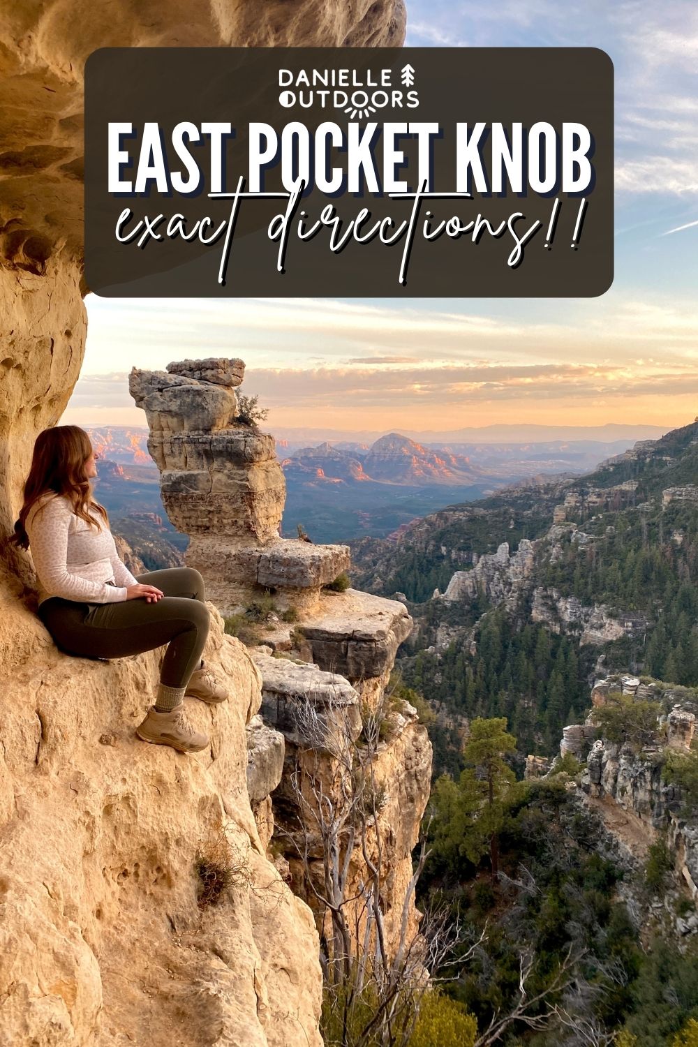
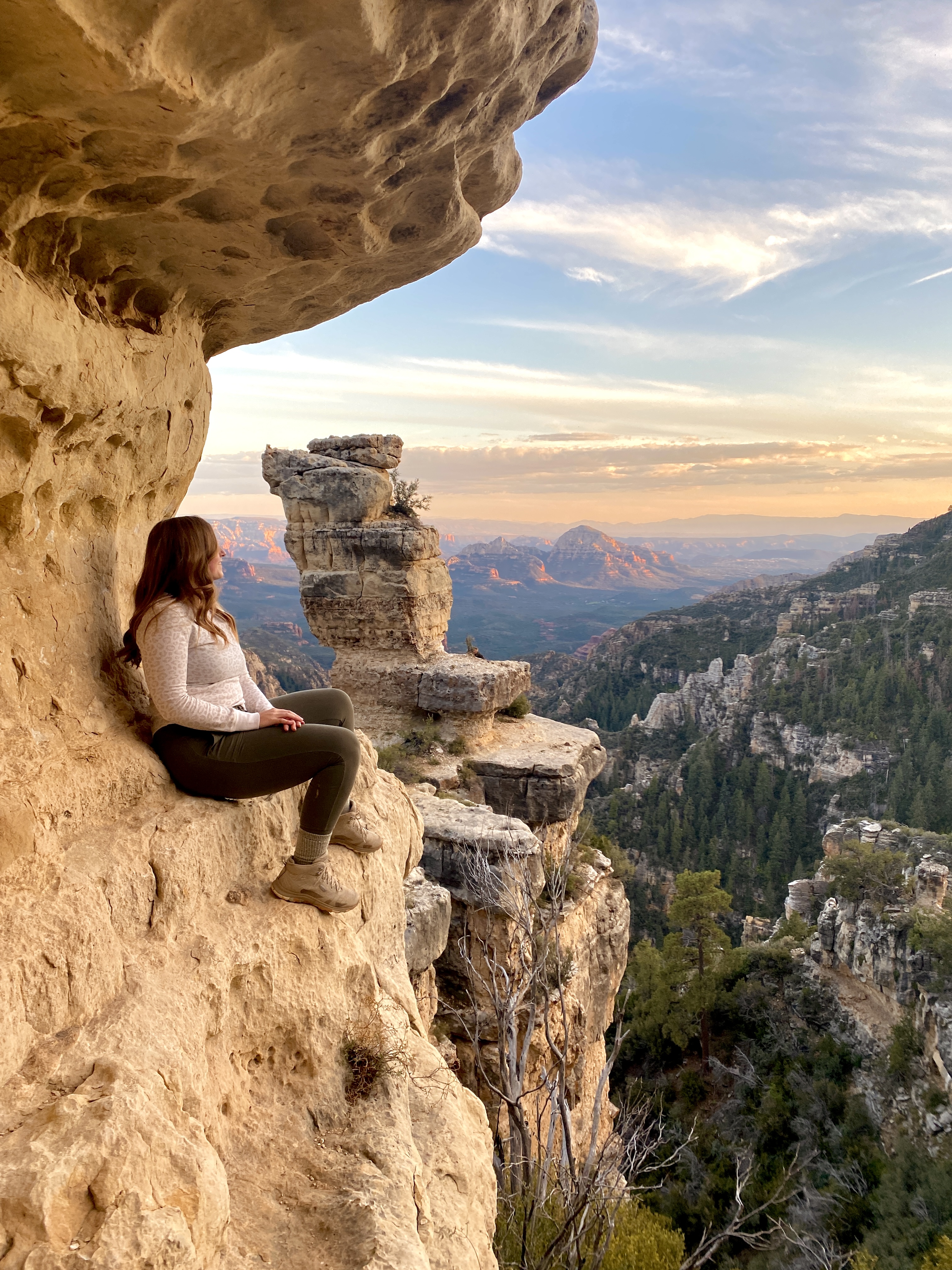
I know you’re all dying to know how you get to the famous East Pocket Knob rock structure (Jenga Rock- shown above). When I went, I couldn’t find any directions despite doing plenty of research. I got lucky with our limited service in the area and was able to find it, and I’m happy to share it with you!
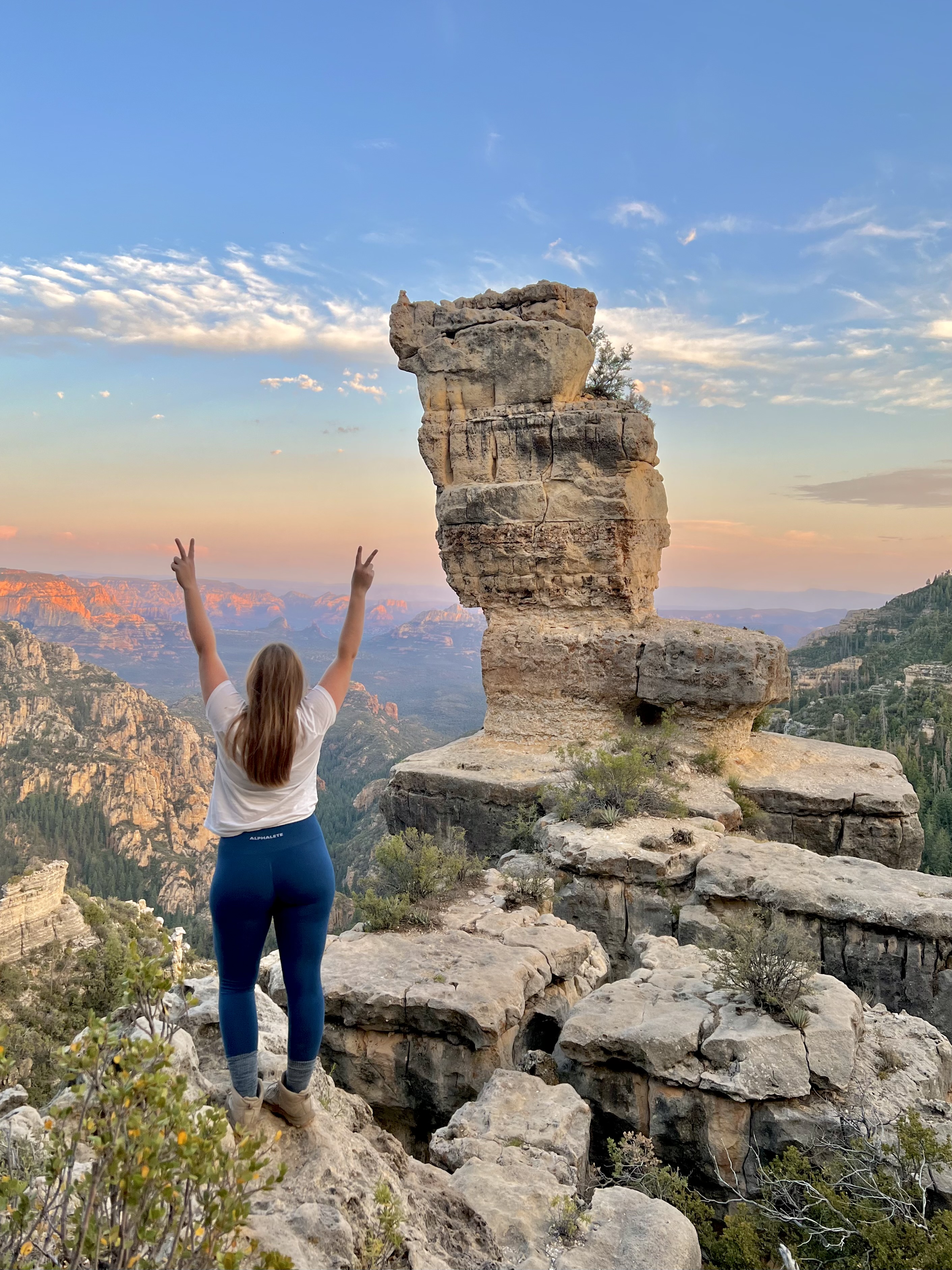
The exact location of the rock formation is 34.981002, -111.826989 because service is very limited at the End of the World in Sedona. Make sure you pin this prior to your trip. The rock formation is 2.6 miles away from the break in the trees/ my campsite. Apple maps said it would take 18 minutes, but it maybe took 9.
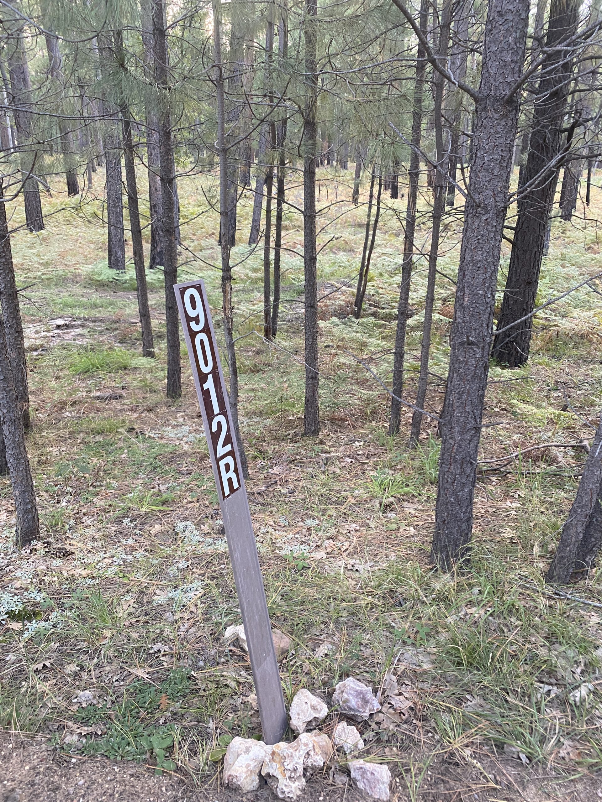
When you hit about 2.2 miles, you will be making a sharp left turn onto a side road (34.980722, -111.792375). You should see a brown forest sign on the right that says 9012R. Take this about 0.4 miles to the edge (this road can be rough).
You won’t be able to see the rock formation from your car when you park, so you’ll need to walk to the edge. There is a very small path with a steep descent down to the base of the rock formation. We chose not to climb it due to safety, but found a really cool ledge with a view of the rock tower! Please be careful.
SUMMARY
I really think this is the best free camping near Sedona, Arizona. I personally have never been to a more beautiful campsite. My best advice would be to spend time relaxing. Sit in your tent. Rock on your hammock. Just sit on the ledge. This area is beautiful, don’t rush.
As I share directions on how to get to some of the most beautiful places in Arizona, I do expect my readers to follow LEAVE NO TRACE principles. This means picking up your trash, caring for the land, and leaving it better than you found it. If you do this, you will in no doubt have a great time.
