South Kaibab Trail- The Best Day Hike in the Grand Canyon
Planning on visiting the Grand Canyon? Want to see more than you can from the rim trail? South Kaibab Trail is a MUST! South Kaibab is one of the corridor trails in the Grand Canyon along with Bright Angel, meaning it connects all the way to the North Rim of the Grand Canyon. If you’re still debating between South Kaibab and Bright Angel Trails, check out my other blog below. If you’re convinced you want to try South Kaibab Trail, keep reading!
Related Posts: Best Day Hikes in the Grand Canyon
Disclaimer: This site does include affiliate links, at no cost to you.
Where is South Kaibab Trail?
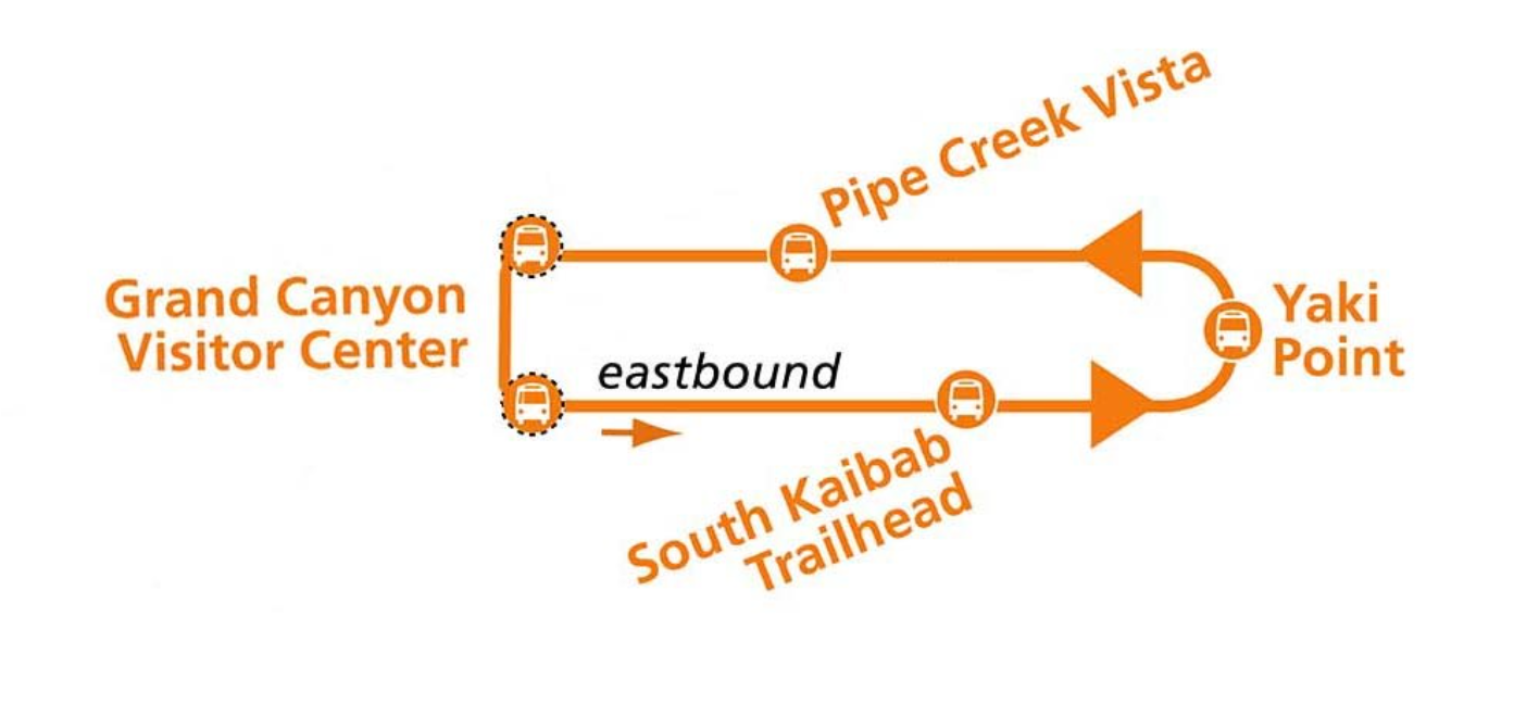
The only way to access South Kaibab Trail is by bus or by foot- there is no parking lot. You have two options to get there by bus. First, you can hop on the Kaibab Rim Route- Eastbound (Orange Route) from the Visitor Center about every 10-15 minutes during the day. An hour before sunrise and after sunset, the bus runs about every 30 minutes. The Grand Canyon also offers the Hikers’ Express Shuttle Bus specifically for those wanting to hike South Kaibab. This route leaves from the Backcountry Information Center at 6, 7, and 8am. You can park your car during the day or overnight at Parking Lot D. After your hike, you will need to take the Orange Route back to the Visitor Center, and then the Blue Route back to your vehicle.
Before your trip, make sure to check the Grand Canyon NPS Site for the most current bus schedule. I personally visited the Canyon during the COVID-19 pandemic (August 2020) when bus services were suspended. When I hiked South Kaibab Trail in May 2023, we rode the Orange Route.
You can also access South Kaibab Trail by foot via the Rim Trail. I parked with my family at Pipe Creek Vista (limited parking) and walked 0.9mi on the Rim Trail to South Kaibab Trailhead. FYI: There is a parking lot at the South Kaibab trailhead, but it is for EMPLOYEES ONLY. When we went, there were visitors parked there, but I do NOT recommend this.
SERVICES AT TRAIL: pit toilets, bus stop
COORDINATES OF TRAIL: 36.0529, -112.0830
HOW LONG IS SOUTH KAIBAB TRAIL?
South Kaibab Trail is the most direct corridor trail at 7 miles from the rim to the river. Keep in mind, if you hike 7 miles down, you need to hike at least 7 miles back out. Always keep this in mind, because going down is the easy part! Note: The National Park Service discourages hikers from going rim to river and back in one day.
For more backcountry hiking information, Click Here.
The cool thing about South Kaibab Trail is that you can turn around whenever you want. Let’s talk about checkpoints and trail details to create your perfect day hike in the Grand Canyon.
South Kaibab Checkpoint
Ooh Aah Point
Cedar Ridge
Skeleton Point
Tip Off Point
River
Bright Angel Camp
Phantom Ranch
Distance
1.8 mi RT
3.1 mi RT
5.8 mi RT
8.9 mi RT
12.6 mi RT
14.0 mi RT
14.8 mi RT
Elevation Change
685 ft
1,181 ft
2,027 ft
3,254 ft
4,860 ft
5,000 ft
5,000 ft
HIKING SOUTH KAIBAB TRAIL
SOUTH KAIBAB TRAILHEAD TO OOH AAH POINT
Okay, so let’s get started hiking South Kaibab Trail! I was able to convince my family to leave our hotel at 5:30 to catch sunrise on the trail (this was in August). After hiking from Pipe Creek Vista to the trailhead, it was about 6:15 am. I would encourage you to hike at sunrise- it’s less busy and the colors of the canyon are AMAZING under the morning light.
You’ll start with switchbacks down the face of the Grand Canyon. They’re fun to go down, but definitely get your heart pumping on the way back up. Keep your eye out for mules heading up and down the canyon, as they use this trail.
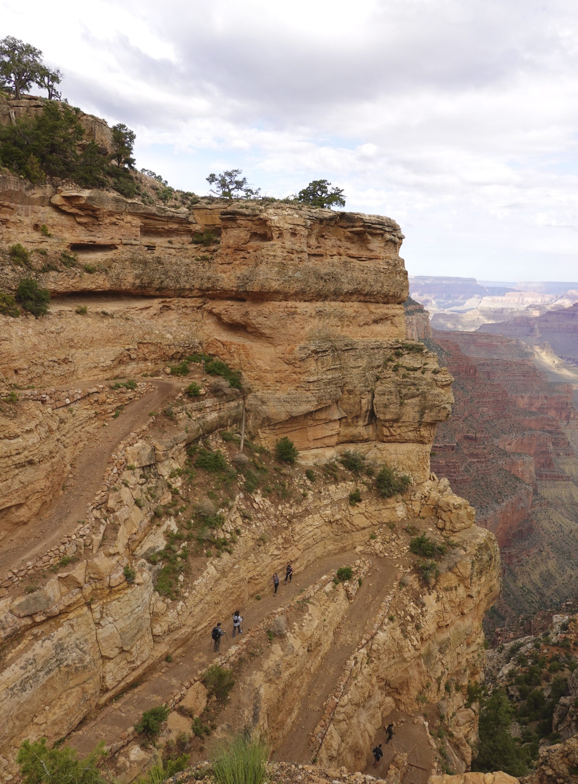
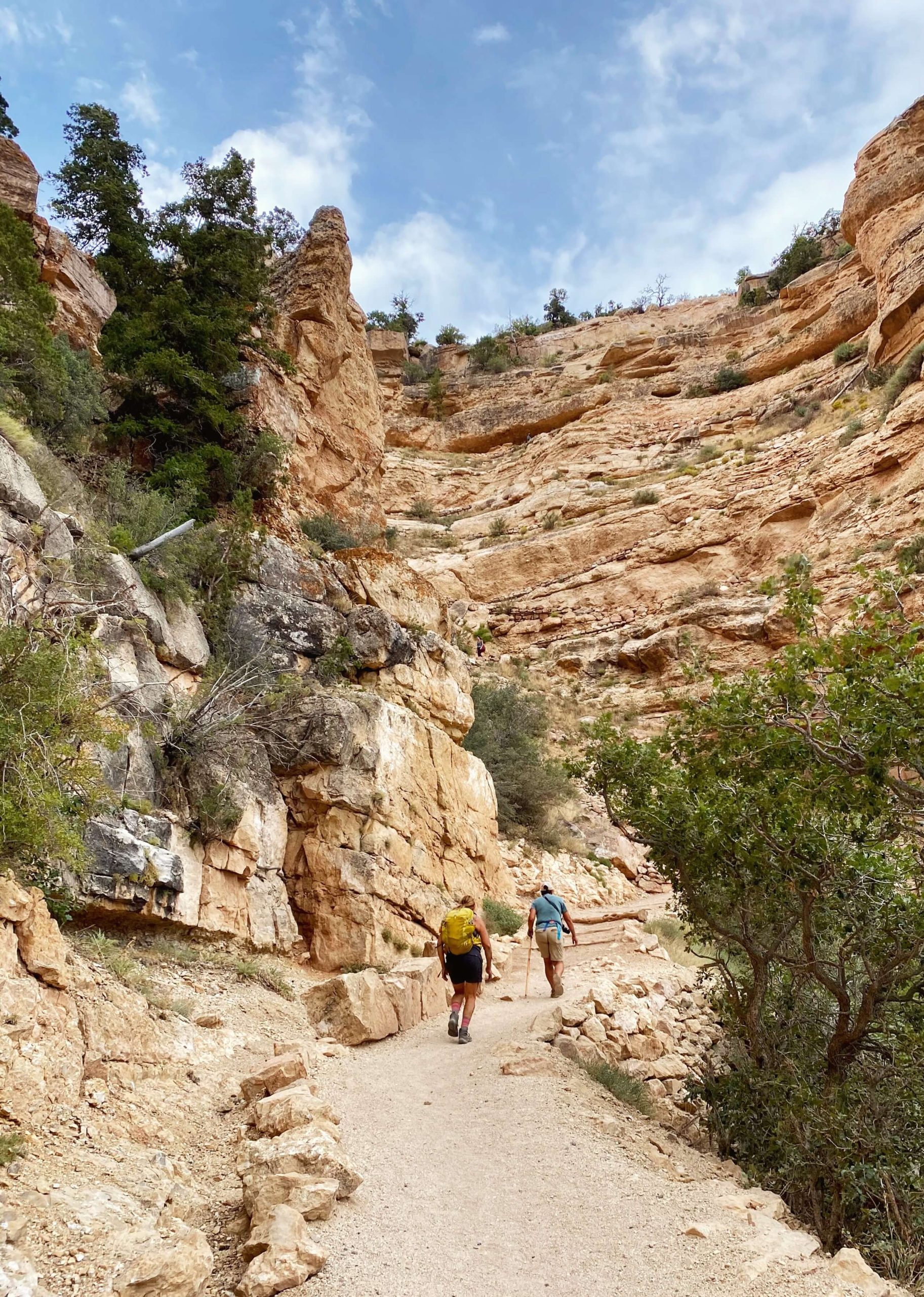
As you continue to make your way down, you’ll notice the drastic change in rock color from the whites of the kaibab formation to the deep orange and red sandstone layers- my personal favorite. I love the way the orange trail seems to disappear into the landscape around every turn.
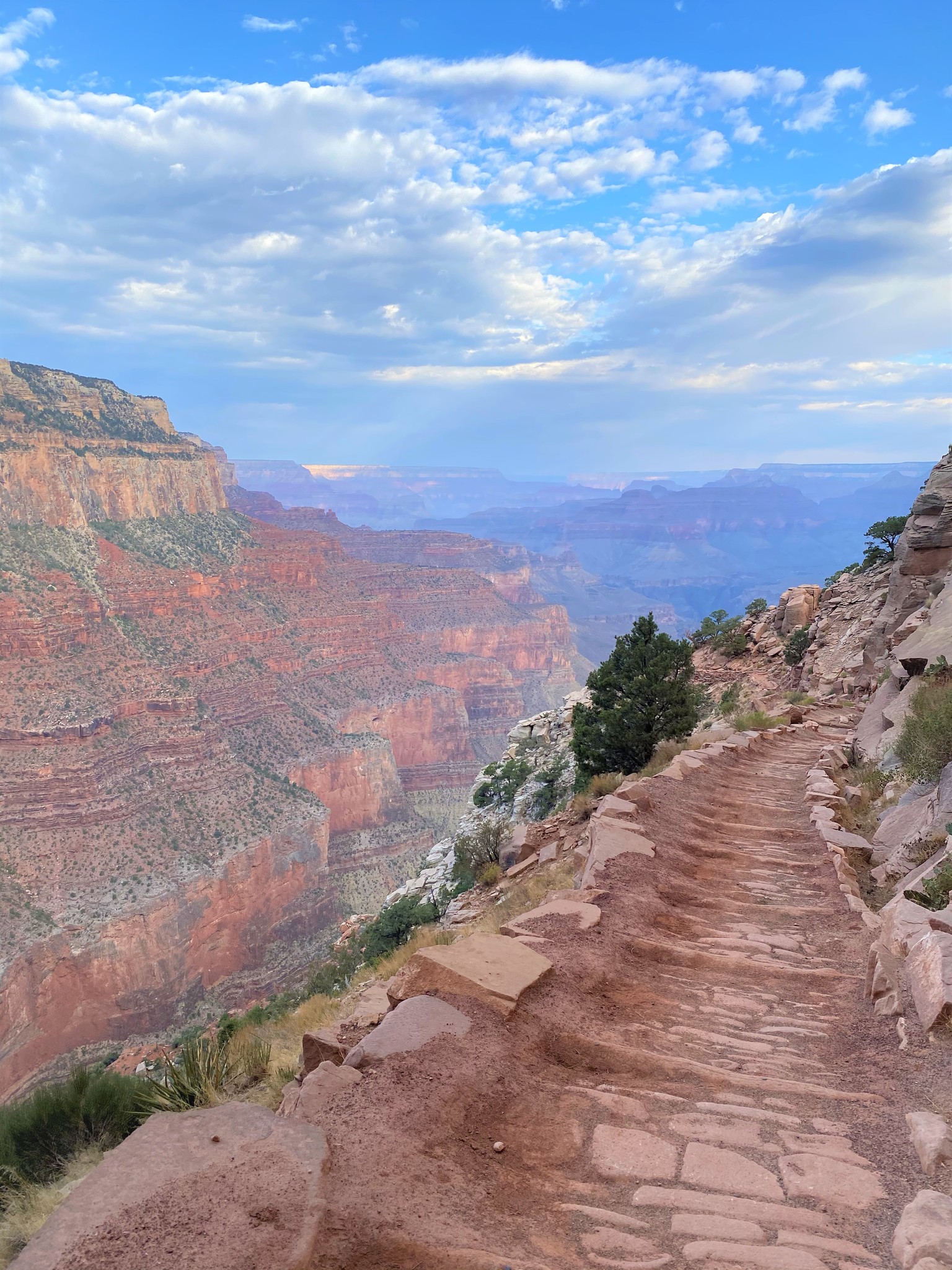
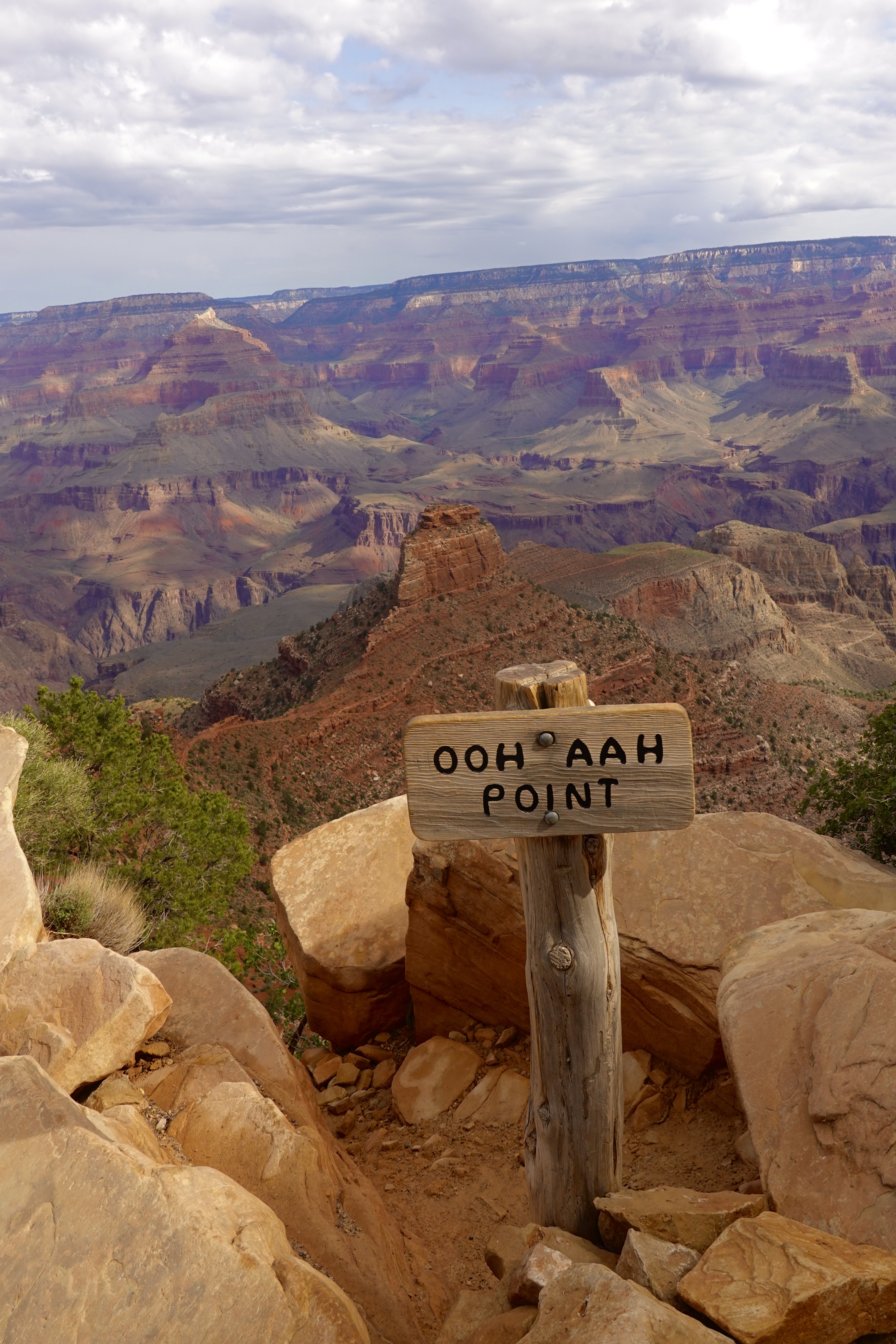
OOH AAH POINT
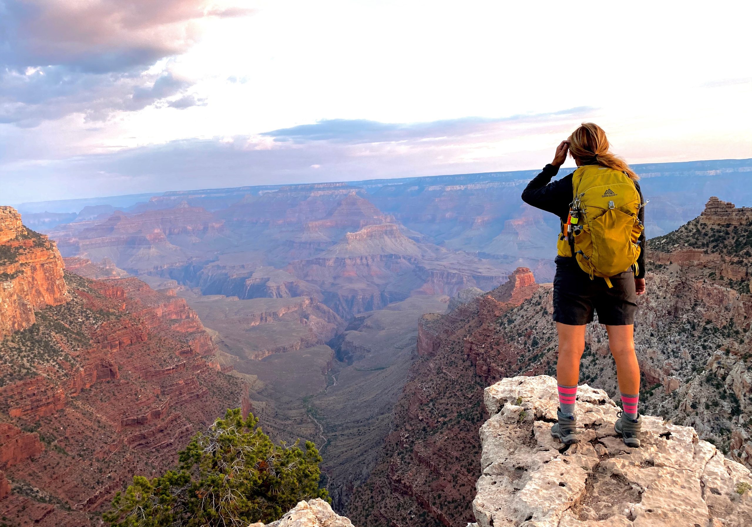
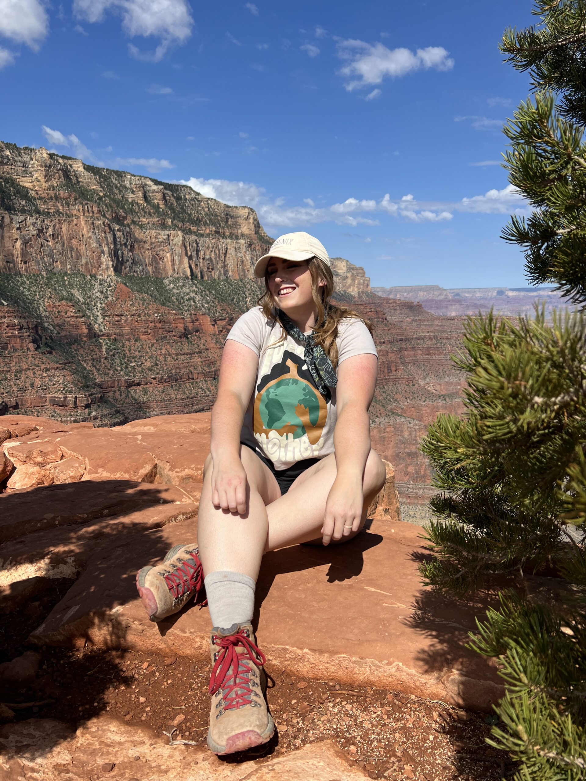
Now that you’ve made it almost a mile down, take at least a few minutes to soak in the view and snap a few pictures. Please be careful- these cliffs are steep and many people have died in the canyon trying to take a picture. In my opinion, Ooh Aah Point is the most beautiful spot on the South Kaibab Trail, and maybe in the whole Grand Canyon.
This is a really good spot to stop if you’re a beginner hiker or if you have less-experienced family with you. It’s easy walking down, but very steep going up- don’t underestimate it.
GEAR FOR HIKING SOUTH KAIBAB
BACKPACK: BUDGET ($50) OR SPLURGE ($100).
SHOES: BUDGET ($50-80) OR SPLURGE ($200).
HIKING STICKS: BUDGET ($30)

OOH AAH POINT TO CEDAR RIDGE
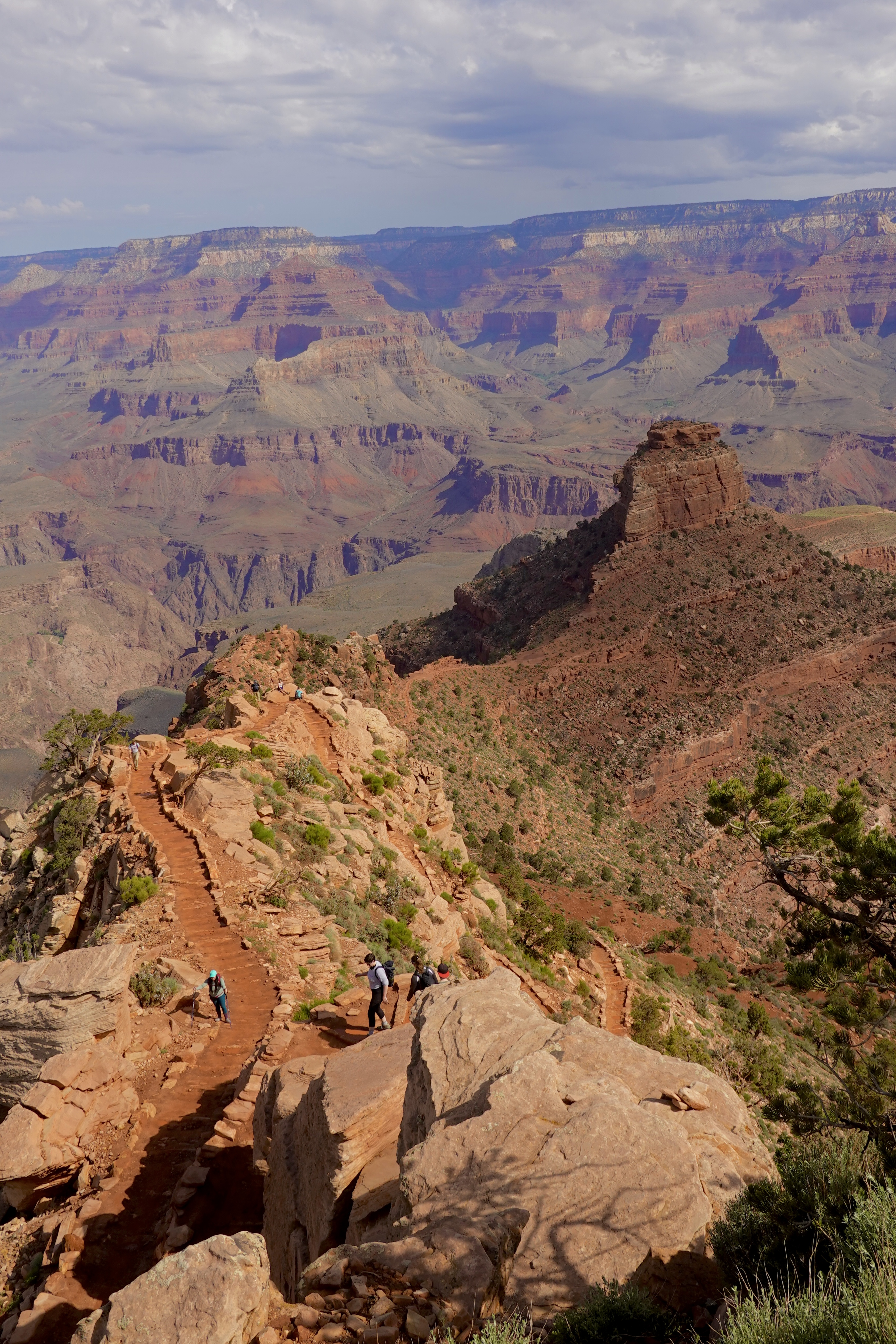
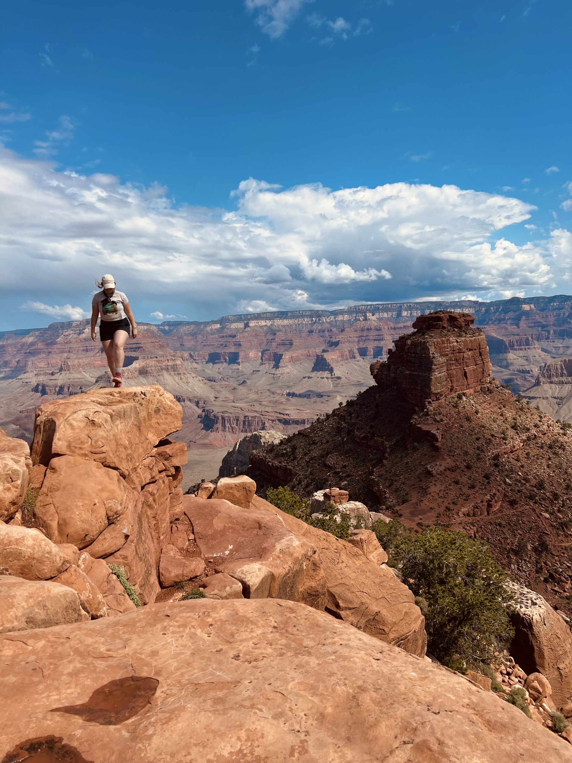
This next part of the hike was my absolute favorite part of South Kaibab Trail. More switchbacks escape into the landscape and reveal the grandeur of O’ Neill Butte. The magic of the canyon keeps revealing itself as you walk further and further down. The first time I did this hike, we stopped before Cedar Ridge, and it was a good decision.
On our second trip, we went down to Cedar Ridge, where there’s a bathroom and 360 views. The trail continues down to the right, but there’s some good views to the left at the end of the cliff.
CEDAR RIDGE
The Cedar Ridge checkpoint gets you up and close to O’ Neill Butte. There is a restroom here which is nice. I wanted to continue on to Skeleton Point, but my Dad wasn’t up for it, and it was a good choice to turn around. South Kaibab Trail is just so steep. We saw a ranger at Cedar Ridge convincing people to hike back up from here.
SKELETON POINT
If you decide to go to Skeleton Point, make sure you’re prepared and you have enough water. I didn’t go myself, so I can’t show you photos. I do plan to do Rim to Rim soon though!
HAVE A FEW EXTRA DAYS TO EXPLORE ARIZONA?
I highly suggest stopping in Sedona before or after seeing the Grand Canyon. Here’s a few options!
SUMMARY OF SOUTH KAIBAB TRAIL
No matter how far down you decide to go or at what time of day, you won’t be disappointed hiking down South Kaibab Trail. For a day trip full of amazing views with time to explore the rest of the park, I suggest hiking to Cedar Ridge and back. If you hike at sunrise, make sure to stop at El Tovar Hotel for a delicious post-hike meal.
TIPS
- If you’re hiking in the summer, be aware that the canyon can be 15-20 degrees hotter than the rim. It may be smarter to avoid hiking from 10am-4pm during the warmer season.
- Bring plenty of water & snacks. While you want to avoid being hydrated, also avoid overhydrating. This Camelbak Backpack is BY FAR my favorite way to get enough fluids and carry my gear!
- Wear a hat/sunscreen- even if it doesn’t feel warm or there are clouds out, your skin can still take a beating. I highly suggest this popular Wide Brimmed Hat.
- Leave no trace- bring a backpack and PACK out whatever you bring.
- Take lots of pictures and ENJOY!
