Hike to the Shaka Cave in the Superstition Mountains
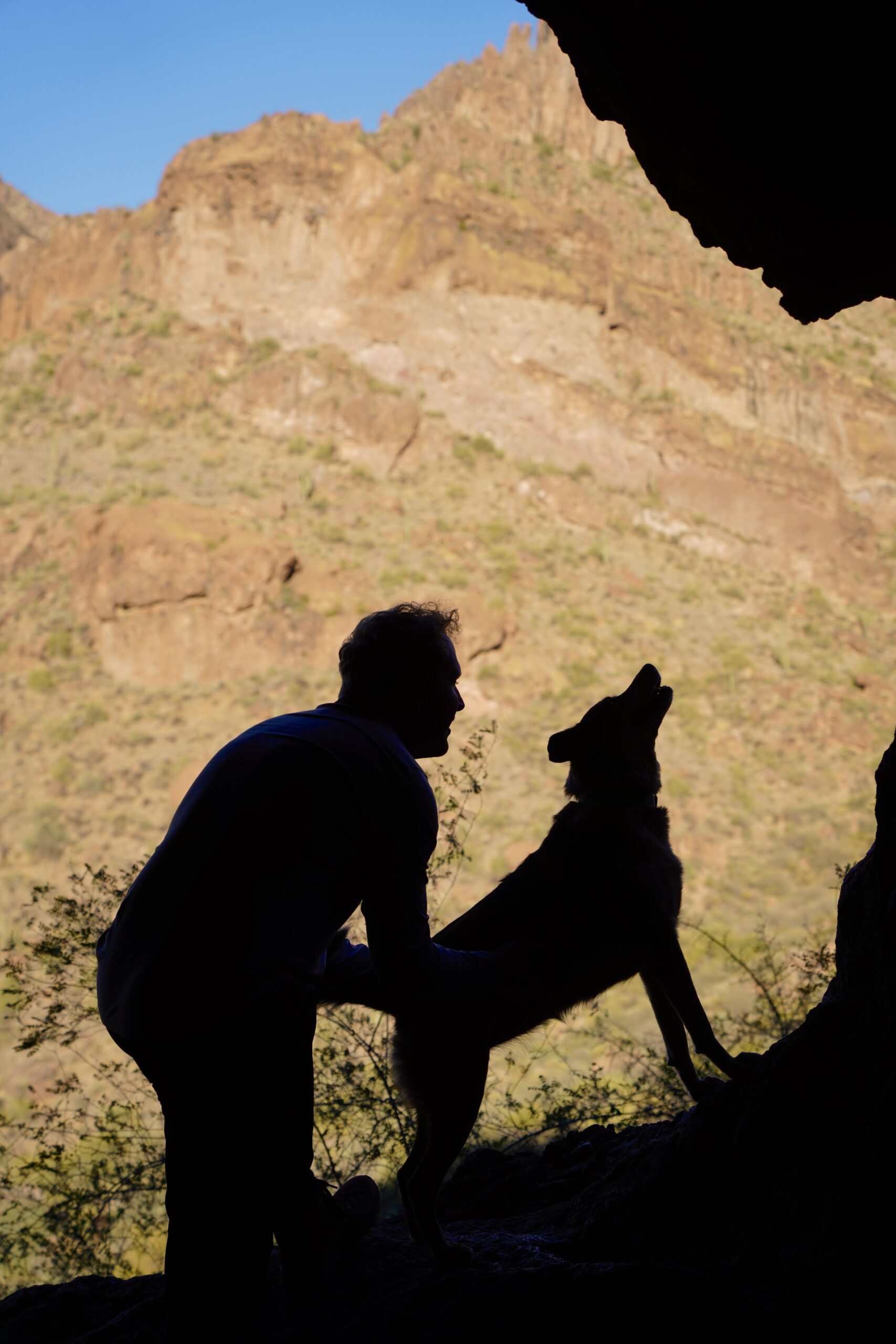
The Shaka Cave in the Superstition Mountains is a wonderful short hike with amazing views. I always love a hike that ends in something cool- whether it’s a summit, a waterfall, or a CAVE like the Shaka Cave. Sometimes you’re in the mood for a short hike that’s not too hard with great views, this is the perfect Arizona hike for you!
Where is the Shaka Cave in Arizona?
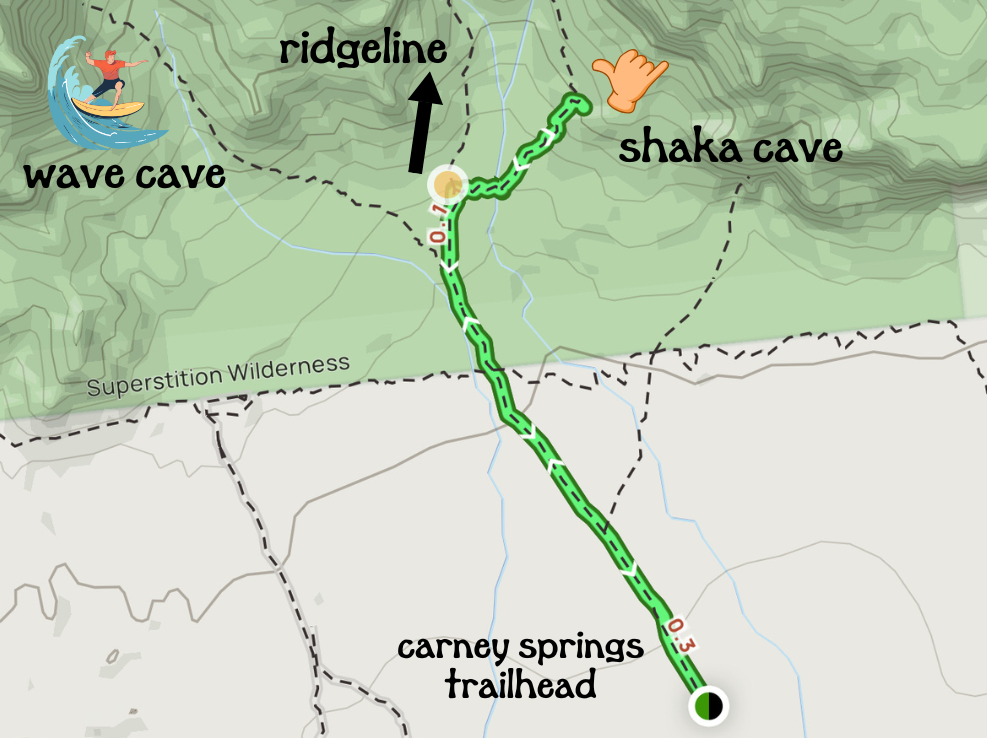
If you’re not familiar with the area, the Superstition Mountains are located about 45 minutes East of Downtown Phoenix. The Shaka Cave trail starts from Carney Springs Trailhead. This is located a few miles down Peralta Road past Gold Canyon, AZ. If you’ve hiked in the area before, this is the same trailhead to get to THE WAVE CAVE.
Why is it Called the Shaka Cave?
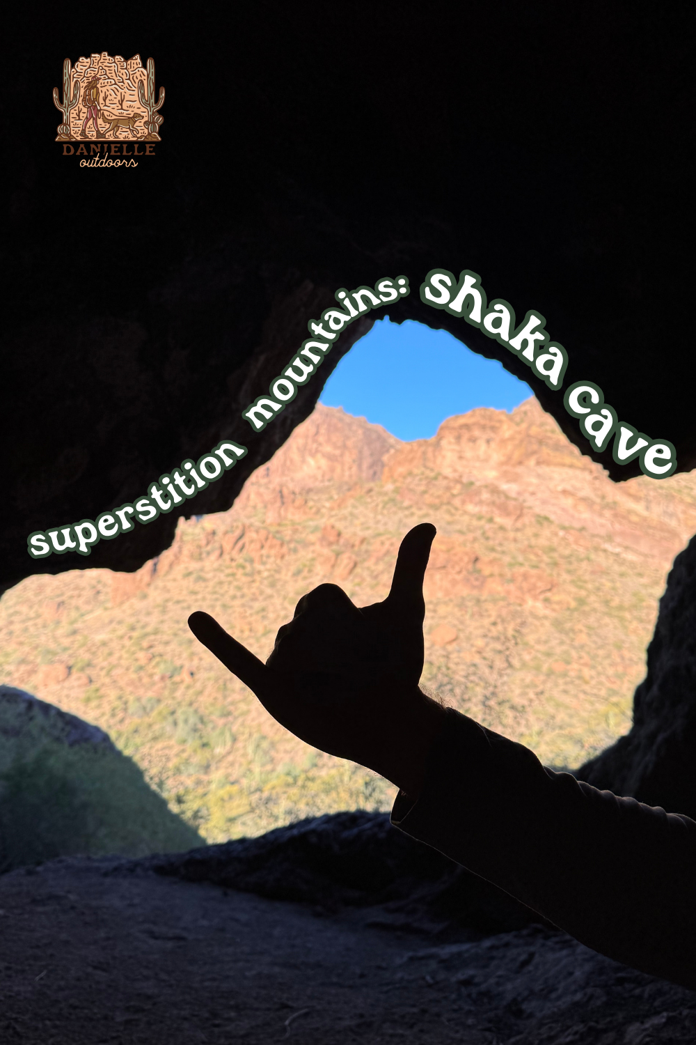
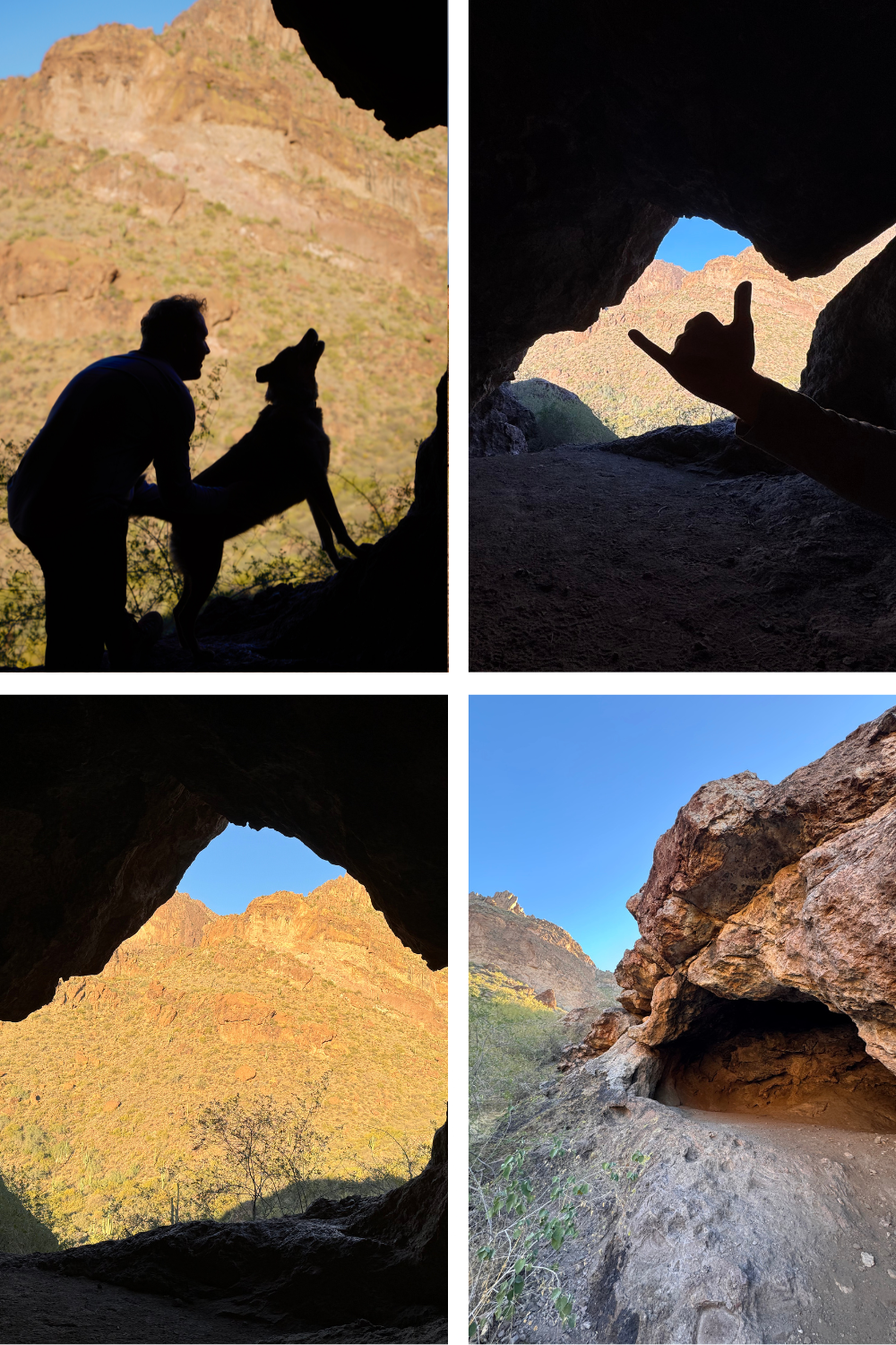
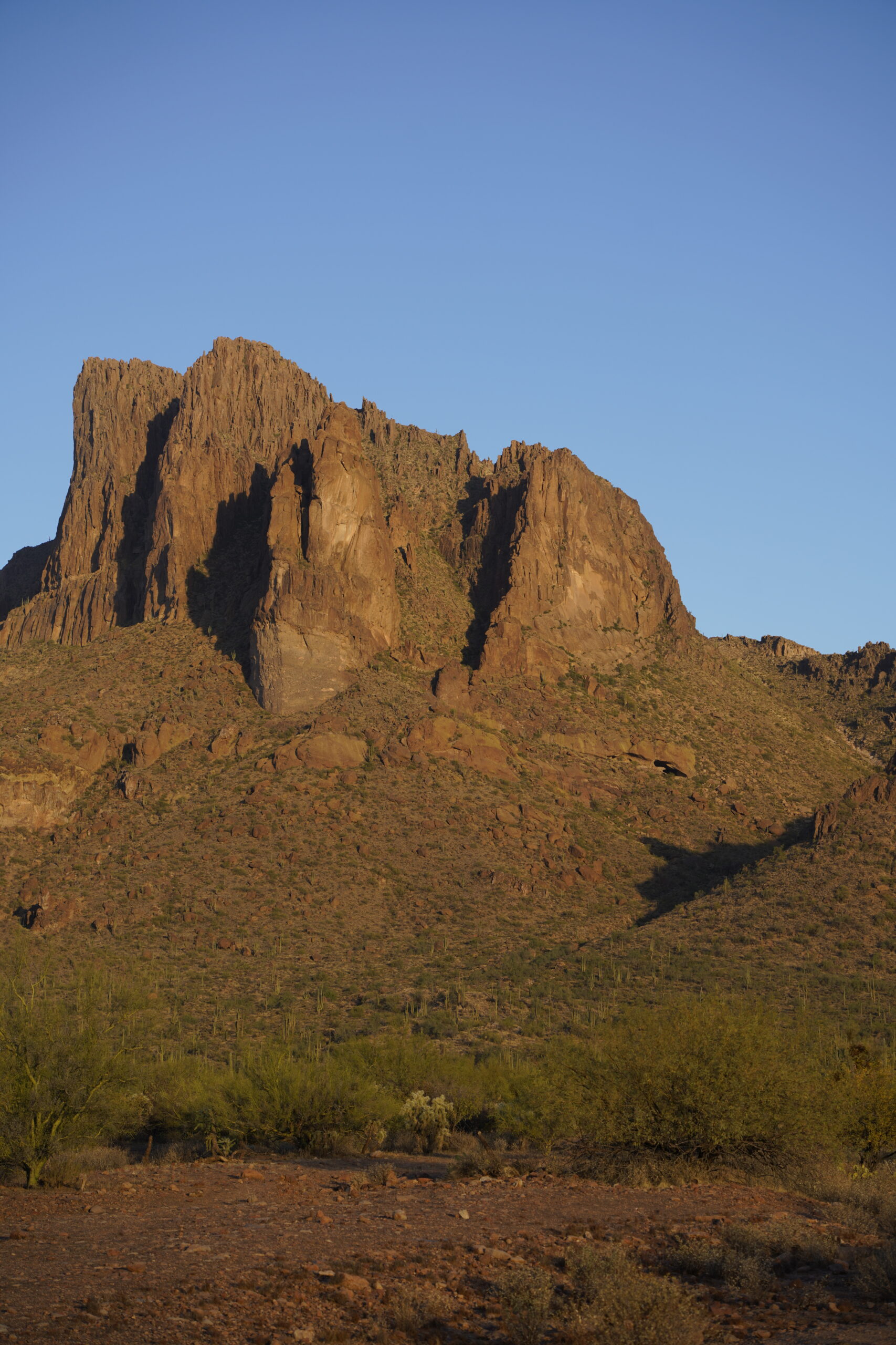
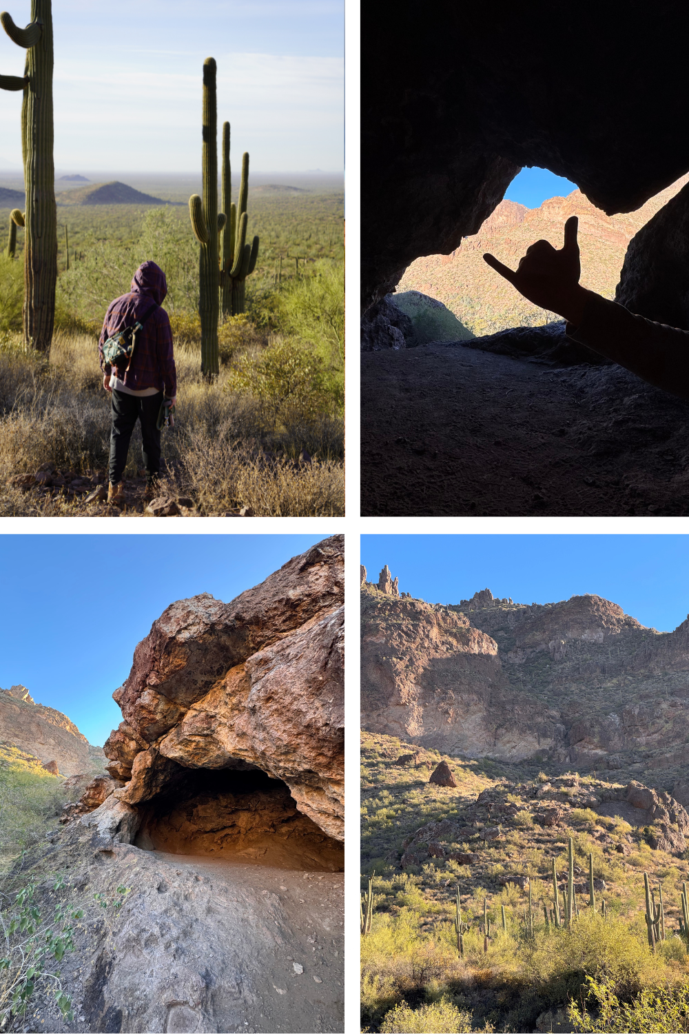
I feel so silly that I didn’t know what a SHAKA was until I hiked this trail. Do you? Shaka is the “hang loose” symbol used often in Hawaii. Okay, but then still why is it called that? Well, if you stand inside the cave and look out, the silouhette actually does look like the shaka hand symbol!!! What’s even cooler, is when I was hiking, I saw a shadow on the mountains (in a different area) that looked like the shaka as well, so I called it the shaka shadow. So if you hike at sunrise you may see it too! The shadow is on the bottom right of the photo below.
Shaka Cave Trail Parking
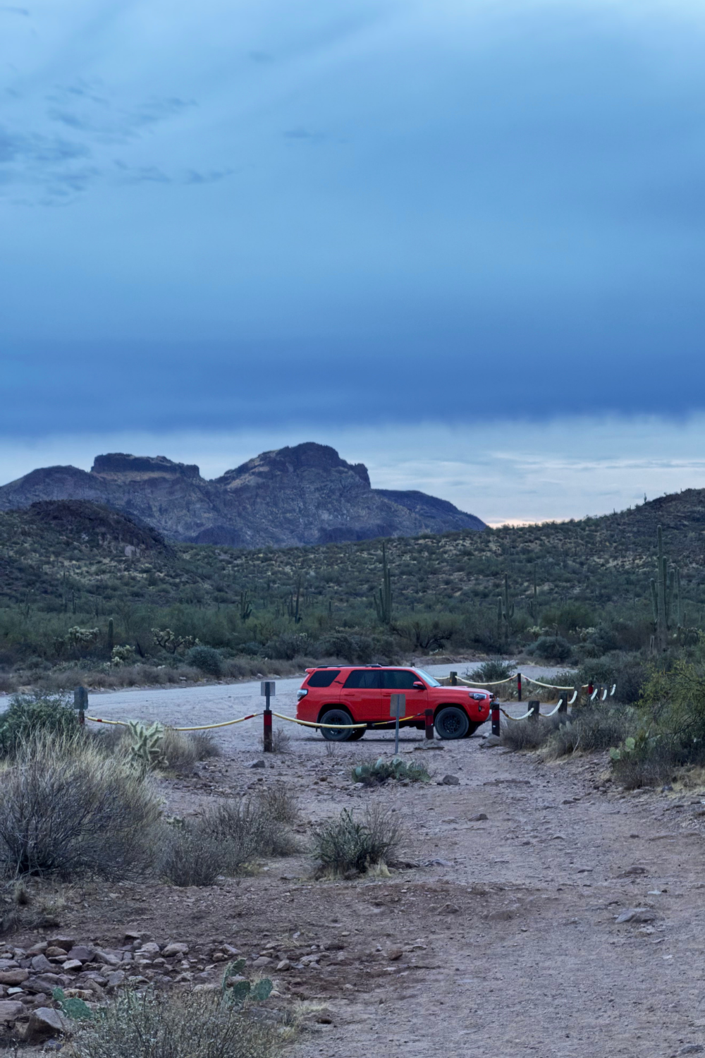
As I mentioned, hiking the Shaka Cave starts at Carney Springs Trailhead. It’s easy to find if you use the Google Maps above. PLEASE NOTE- PHONE SERVICE IS LIMITED HERE. There are usually plenty of parking spots here. Even better, no fees to park here! As you can see below, sunrise is not busy at all! Especially on weekdays. Love being alone in the mountains.
Important: Things to Bring on Your Hike
One of the most important things when hiking in an area with a lack of phone service is SAFETY. You can either have A GARMIN IN REACH (it is pricey, but worth it, but allows you to follow a trail and use SOS if you need it, and text via satellite) OR use ALLTRAILS+ which allows you to LIVE SHARE your hike with someone so they know where you are! You can use my code “danielleoutdoors30” for 30% off (and it’s only $35 to start with per year!). I also recommend A HIKING STICK for balance and STURDY SHOES (these for example- don’t bring normal gym sneakers).
Shaka Cave Hike Guide
OKAY, let’s get into the details of the hike itself. The purpose of my hike reviews are to give you tips from someone who has completed these trails, along with showing you the most iconic or scenic or photogenic spots on the hikes, and how to stay safe!
length: 2.3 mi
elevation gain: 413 ft (if you’re new to hiking, this is not bad at all for the length, as opposed to hikes that are 1,000 ft gain in a mild- those are hard).
how long does it take to hike to the shaka cave and back?: 1.5hrs hours if you’re enjoying the cave and not rushing
difficulty: easy to moderate
dog-friendly: yes, on a leash
First Half Mile of the Trail
The beginning of this hike has stunning views. You see The Three Sisters up and to the left (slightly cut off in this photo) that are so rugged. This part of the trail is wide and flat and easy! At the half mile mark, you’ll come across a cattle gate and you’ll go THROUGH IT. The lost goldmine trail crosses perpindicularily here- which is a beautiful trail too!
Two Forks in the Trail
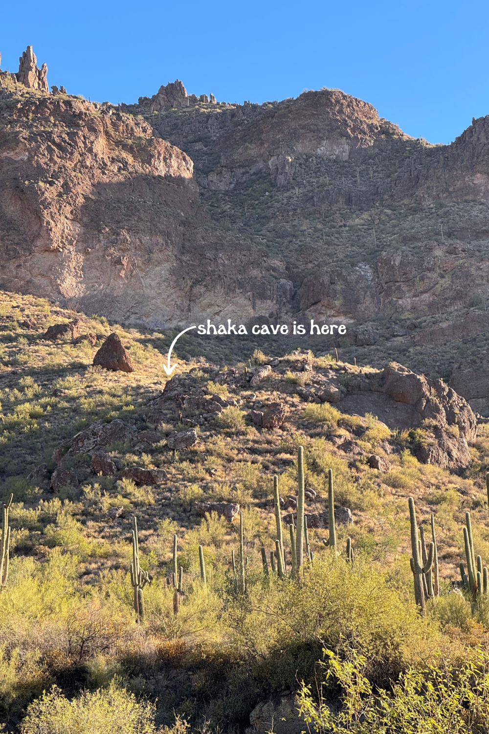
You may see in the map above, there are two forks of the trail. You will be making a right on both of them. Below is a photo of what you’re looking at, so you know where you’re aiming at to get to the Shaka Cave.
The Shaka Cave
When we hiked at sunrise, we were the only ones there enjoying the cave which was nice! It’s a pretty small cave, so I wouldn’t want to be crowded with a bunch of other people. But I was pretty blown away with learning that it looked like a shaka symbol, haha. I hope you enjoy your hike to the shaka cave!!!!

