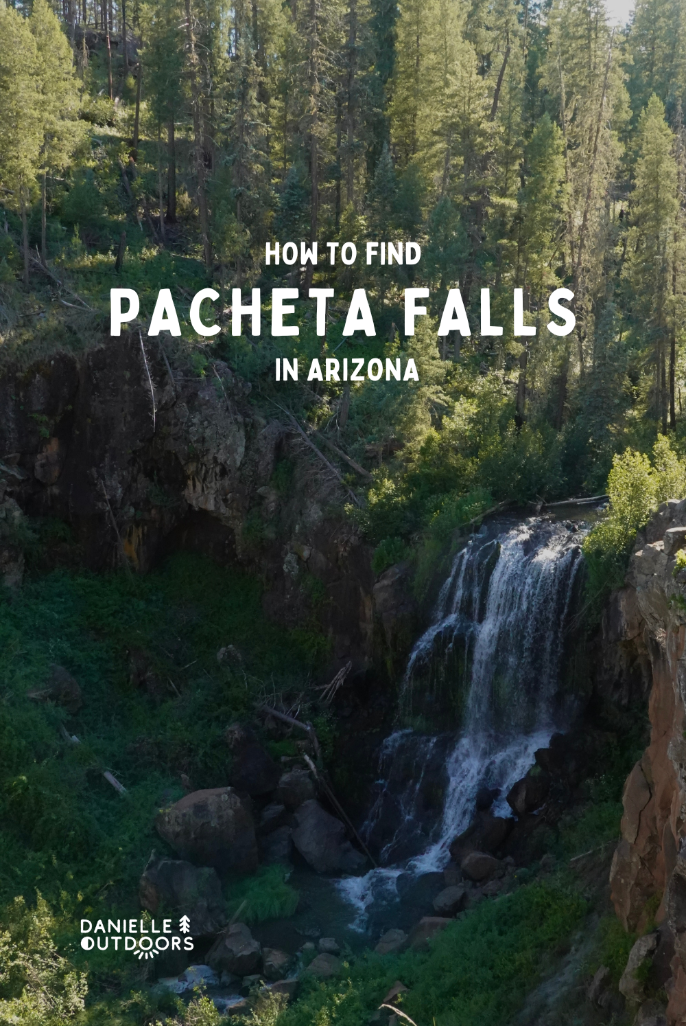
Arizona’s Most Remote Waterfall: Pacheta Falls
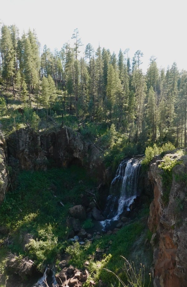
You may have come across photos of this stunning waterfall, Pacheta Falls, in the past. I saw it on Pinterest at least 7 years ago, and knew I had to visit. It takes a lot of planning and preparation, because it’s so far away and so remote. I call this adventure DANGEROUS. You need to have multiple safety measures in place, and your entire group needs to be aware of this. I honestly DON’T recommend going, BUT if you want to go, I’ll tell you how to go safely.
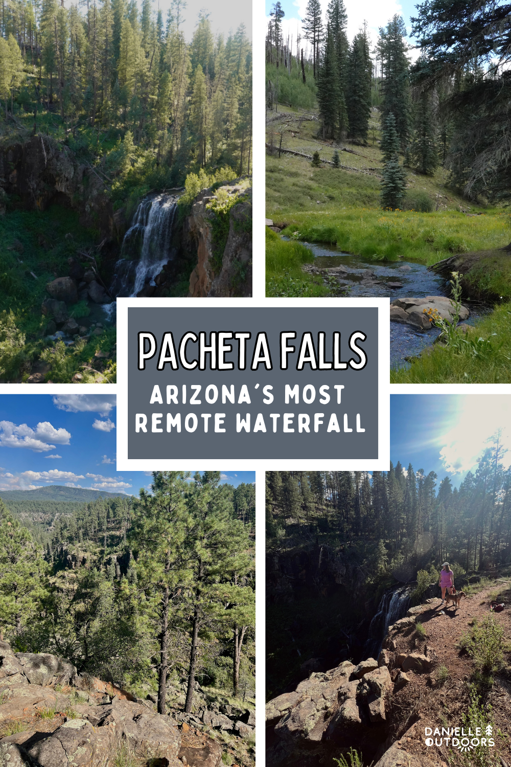
Where is PACHETA FALLS?
Pacheta Falls is located in the White Mountains of Northeastern Arizona, on White Mountain Apache Tribal land. It is VERY REMOTE, and very hard to access, and the roads are NOT maintained. I will continue to caution you throughout this entire post.
This beautiful remote waterfall is 5.5 hours from Phoenix and 2.5 hours from Pinetop-Lakeside. I didn’t go for so many years because of how far in the forest it is. I’ve been to Pinetop a few times before, but didn’t want to take the time to go. Apple Maps did not lead to Pacheta Falls, but Google Maps does. Don’t just follow Google Maps without reading below.
WANT TO GO CHASING OTHER ARIZONA WATERFALLS?
Arizona is full of hidden gems. Here’s some of the other stunning waterfalls in State 48.
Discovering Havasupai- Arizona’s Hidden Waterfall Oasis
How to Find Sycamore Falls in Arizona
Exploring the Majesty of Cibecue Falls: Arizona’s Hidden Gem
WHY YOU SHOULDN’T VISIT PACHETA FALLS
I don’t suggest visiting Pacheta Falls because it’s remote, there’s no phone service, you most likely won’t see other people, there’s multiple confusing side roads, and the waterfall is under a steep, sheer cliff. You could get lost, hurt, or die. I’m not joking.
PACHETA FALLS PERMIT?
VISITING PACHETA FALLS COSTS $45 PER PERSON.
THINGS YOU NEED TO BRING TO PACHETA FALLS
EMERGENCY SUPPLIES
- Garmin InReach Mini 2– This has a track back feature, which helps you to not be lost. I had mine, but didn’t think to turn it on when we started on the dirt road. It’s not perfect, but it would help you. EXPENSIVE, but you MUST have it. Allows you to text/call for help without service too.
- PAPER MAP- I didn’t have one. Ask the natives when you get your permit. Or find one online. You need to have this as a back up.
- Phones with back up solar and battery chargers– This will help you keep your Google Map navigation active. Start navigation on every phone you have BEFORE losing service.
- First Aid Kit- (Emergency Blanket, Flare, Medicine, etc)
- Plenty of Food and Water with a Fuel Source

THE TREK TO PACHETA FALLS
We’re going to start our trek from Pinetop, because I doubt you’ll be driving all the way from Phoenix just to visit this waterfall. Make the best of your weekend and stay in Pinetop and see what it has to offer. Pacheta Falls is 66 miles from Pinetop, which takes over 2 hours, because of the dirt road.
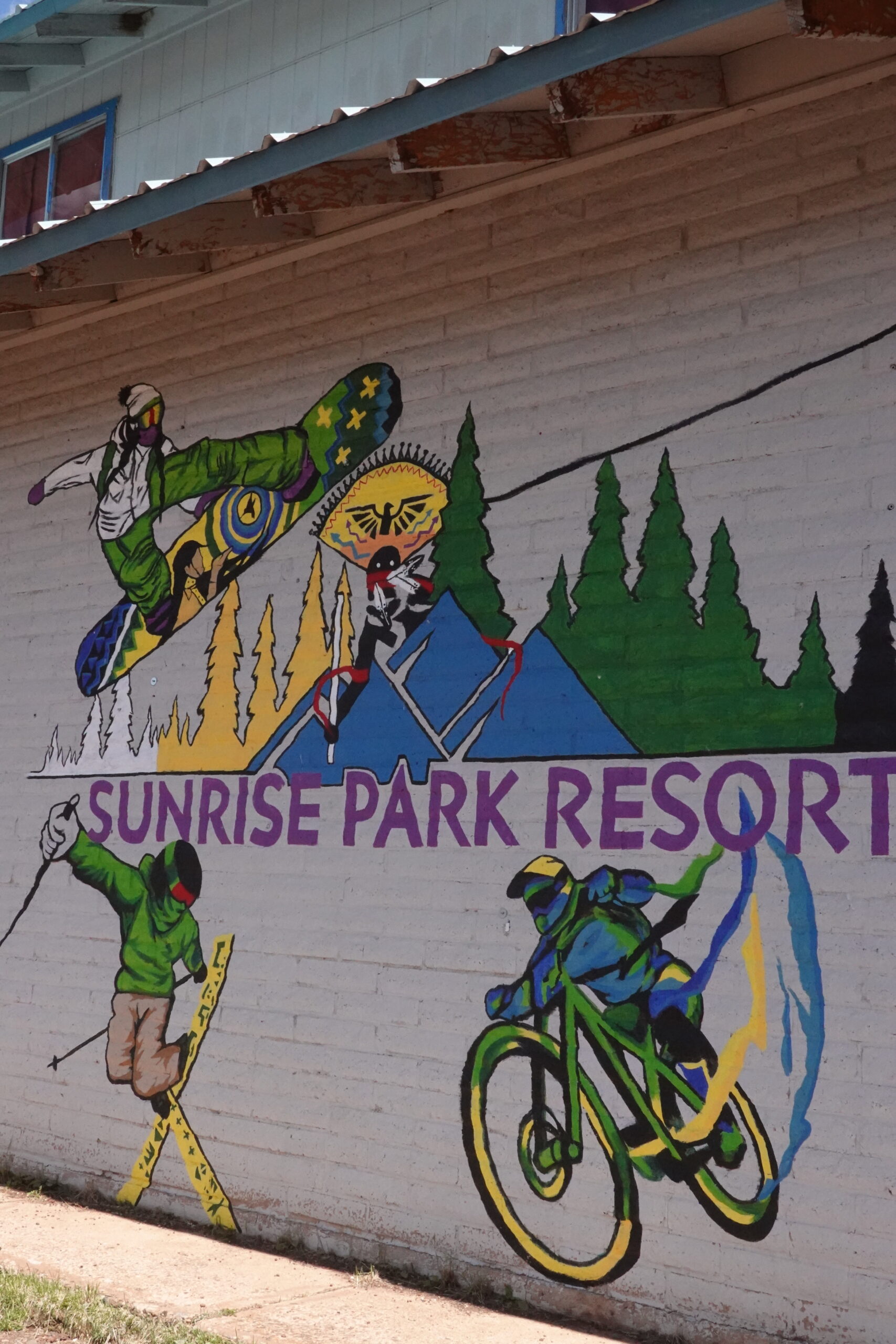
First, you’ll drive 25 miles east of Pinetop, and turn right on the 73. Then you’ll drive 15 miles (past Sunrise Ski Resort, East and West Baldy Trail), and you’ll turn right at FR409.) You’ll see a sign to Thompson Trail- which is 4 miles down dirt road 409.
I highly suggest stopping at Thompson Trail on your way to Pacheta Falls. It’s a there-and-back trail that is 5.4 miles total, but you can turn around whenever you want. We went 4 miles, and it took us under 2 hours, as we took it slow and took a lot of photos.
MAKE SURE TO STOP AT THOMPSON TRAIL ON THE WAY!
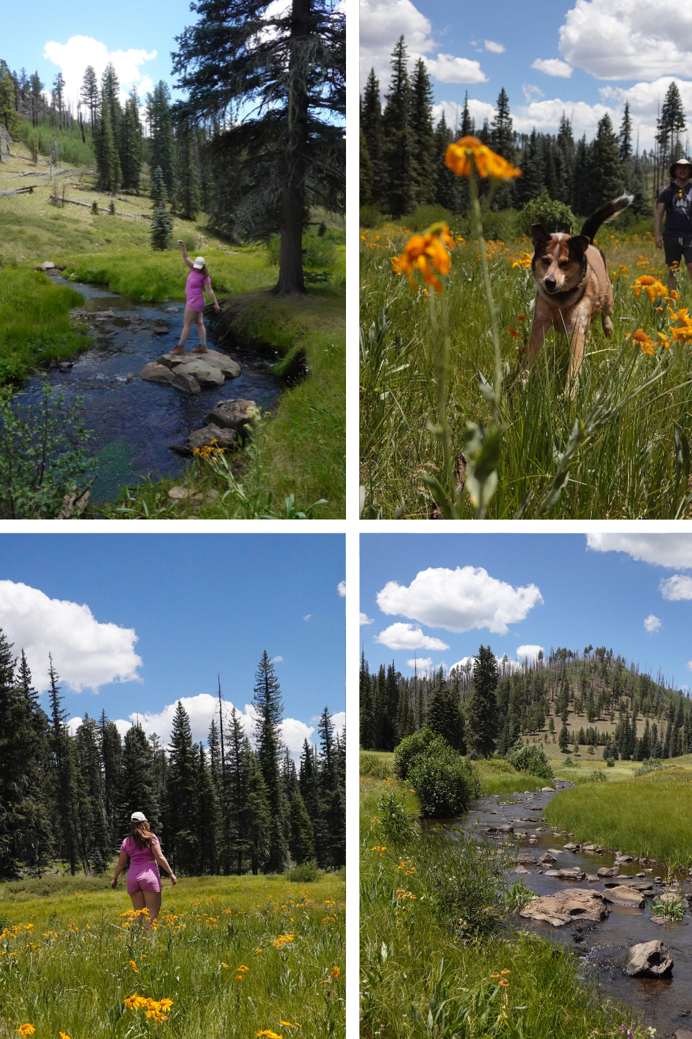
THOMPSON TRAIL TO RESERVATION LAKE
From Thompson Trail, you’ll climb a wide, well-maintained dirt road to Reservation Lake, which is about 4 miles and less than 10 minutes. You’ll find people parked to the right, sitting on chairs relaxing and fishing in the lake. Honestly, if I could go back, I would have just stopped here and enjoyed the lake.
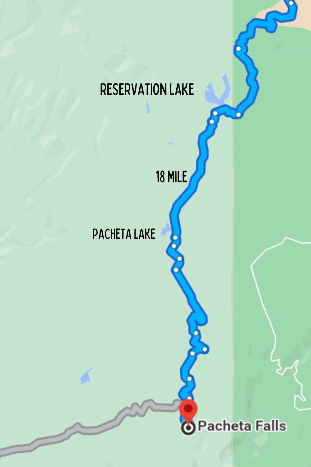
If you choose to go past this point, it will be 18 miles and over an hour to get to Pacheta Falls. We saw NO ONE past Reservation Lake, and now you’ll be in the forest instead of in open land. Watch my video below to see what to expect.
RESERVATION LAKE TO PACHETA FALLS
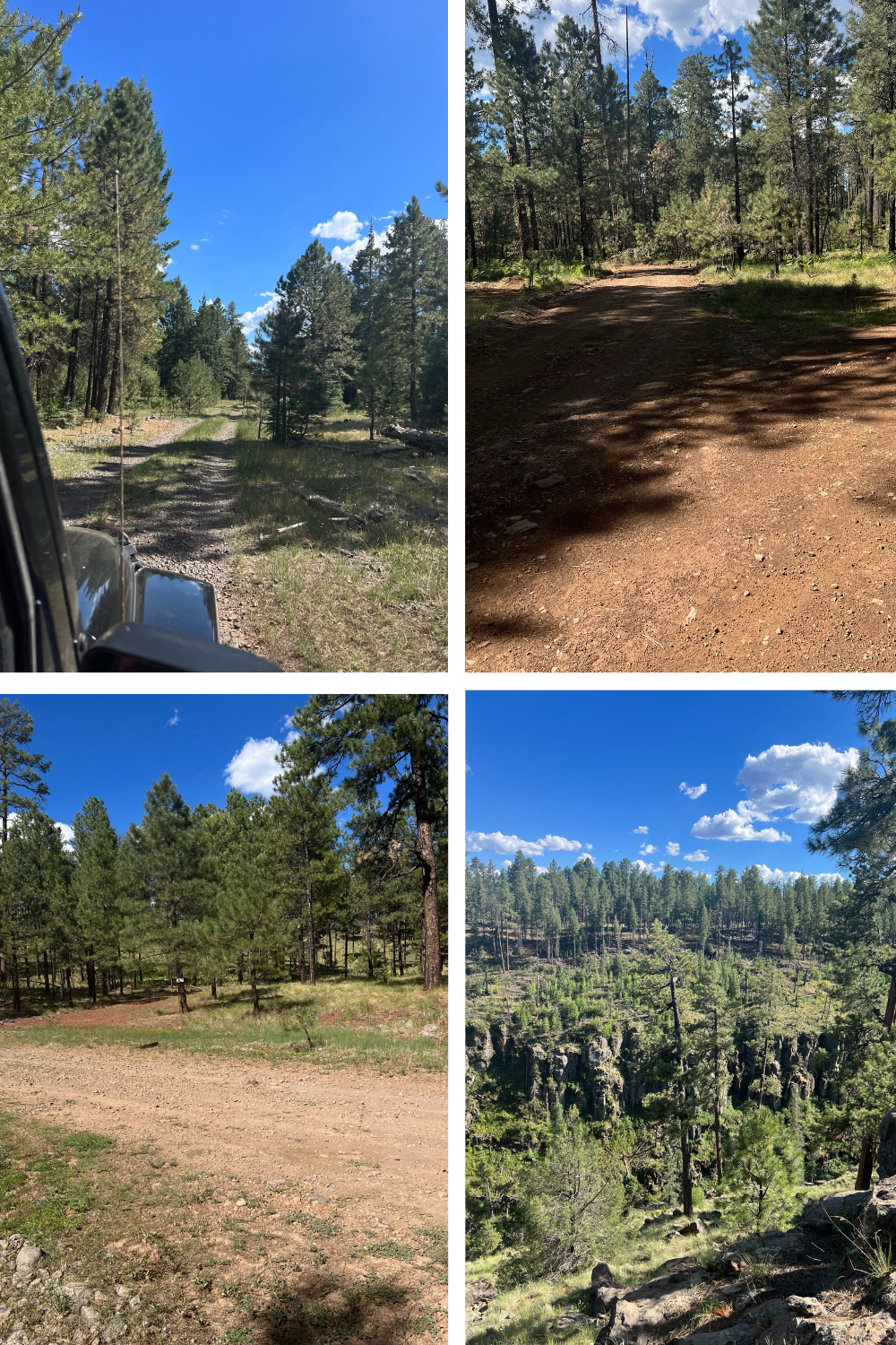
On your 18 mile dirt journey to Pacheta falls, you’ll drive on bumpy, unmaintained, skinny roads. I honestly don’t know how 2 cars could be on the road if they had to pass. There were mini trees growing out of the middle of the road, lol. Everything is poorly labeled. There’s some signs that we took photos of just in case, but I don’t know if it would have helped. Honestly next time, I’d get out at each turn and make a cairn or a stick arrow. Be really careful with taking turns- follow google maps. Eventually you’ll hit Pacheta Lake, and then a Sign for Pacheta Falls.
ARRIVING AT PACHETA FALLS
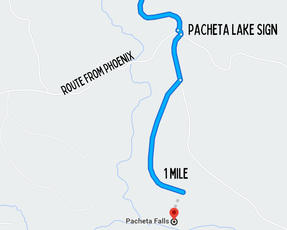
If you’re coming from Pinetop, when you have 1 mile left, you’ll make a left and then a right immediately and see a metal sign that says Pacheta Falls. This finally gave us some hope. Because I was nervous about getting back, I kept my Google Maps navigation on and my phone charging so we could follow it back. I stopped 0.1 miles before it ended, for this reason. Which was just in the middle of the forest. No signs or anything. So we walked a bit, just hit a cliff (which we figured the falls was in) but couldn’t see or hear anything so we walked back and took the other route.
At this point, I was pretty freaked out and wanted to leave. We decided we’d walk 5 minutes down the other direction and if we didn’t find anything, we would leave. We ended up finding it! The dirt road, if we would have kept going, was pretty impassable. It’s also very easy to forget where you parked. DANGEROUS, like I mentioned.
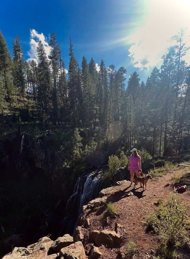
PACHETA FALLS- DESTINATION
I was so relieved to finaly find the waterfall. I will say, I would have enjoyed it much more if I wasn’t half in a panic attack. The waterfall is beautiful, and lush, and green. Peace and quiet in the forest is nice, but to me it creeps me out. You walk down and see Pacheta Falls under the cliff. I visited in the afternoon, which made the photos tough, as the sun back lit the waterfall. Morning would be ideal!
People do hike down to the falls, and I honestly have no idea how. There’s no defined trail. When I asked someone that’s been before, they just said “just find the best way down.” It was STEEP. NO FRICKEN WAY I’D GO DOWN THERE. Safety is most important. If you made it, congrats!!
EXACT COORDINATES OF PACHETA FALLS: 33.667327, -109.524904

SUMMARY OF PACHETA FALLS
Pacheta Falls, in my opinion, is the most remote waterfall in Arizona. Is it worth it? I don’t know. I’ve had it on my list for years, and eventually I would have needed to check it out. But for all of the stress it caused, I don’t want to go back. If I did, I’d be VERY overly prepared.
MY FINAL TIPS:
- YOU MUST use a Garmin InReach, or similar device
- Bring a paper map
- Have multiple back-up batteries, food, water, and other emergency supplies
- Visting early in the morning
- Be prepared for your journey to take half a day or more
- ALWAYS trust your gut.
