How to Find Sycamore Falls in Arizona
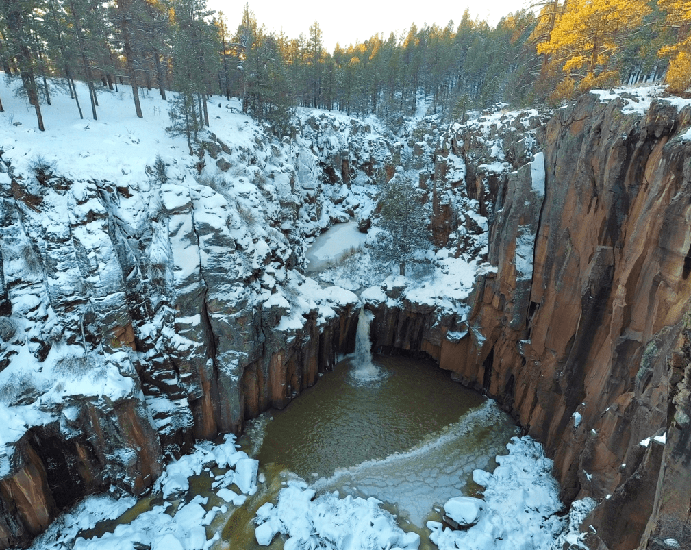
I know you may be surprised, but this desert state is home to some of the most beautiful waterfalls in the country. They are seasonal, however, so you’ll need to be able to jump when adventure calls. I created this post to give you directions and tips to one of my favorite hidden waterfalls, Sycamore Falls.
Disclaimer: This post does include affiliate links, at no extra cost to you.
WHERE IS SYCAMORE FALLS?
Sycamore Falls is located between Flagstaff, AZ and Williams, AZ in Northern Arizona. Sycamore Falls is actually pretty GPS-friendly. I used Apple Maps and it took me right to Sycamore Falls. There are two roads that will get you there, both end up at the same place. I will still walk you through directions- it makes me feel better than just following what the GPS says.
WHEN TO VISIT SYCAMORE FALLS
It takes a lot of planning & good timing to be able to see Sycamore Falls flowing. Your best bet is to visit after at least a few days of heavy rainfall or snowfall. Flagstaff tends to get the most snow between December and February. Sycamore Falls also tends to flow at the beginning of spring when snowmelt from higher elevation regions melts.
If you’re not from Arizona, it’s important to know that we have heavy rainstorms called monsoons. Monsoon season is between June and Late September. Sycamore Falls is likely to flow after monsoons- I suggest going 1-2 days after a big storm when the roads are drier and the storm has passed.
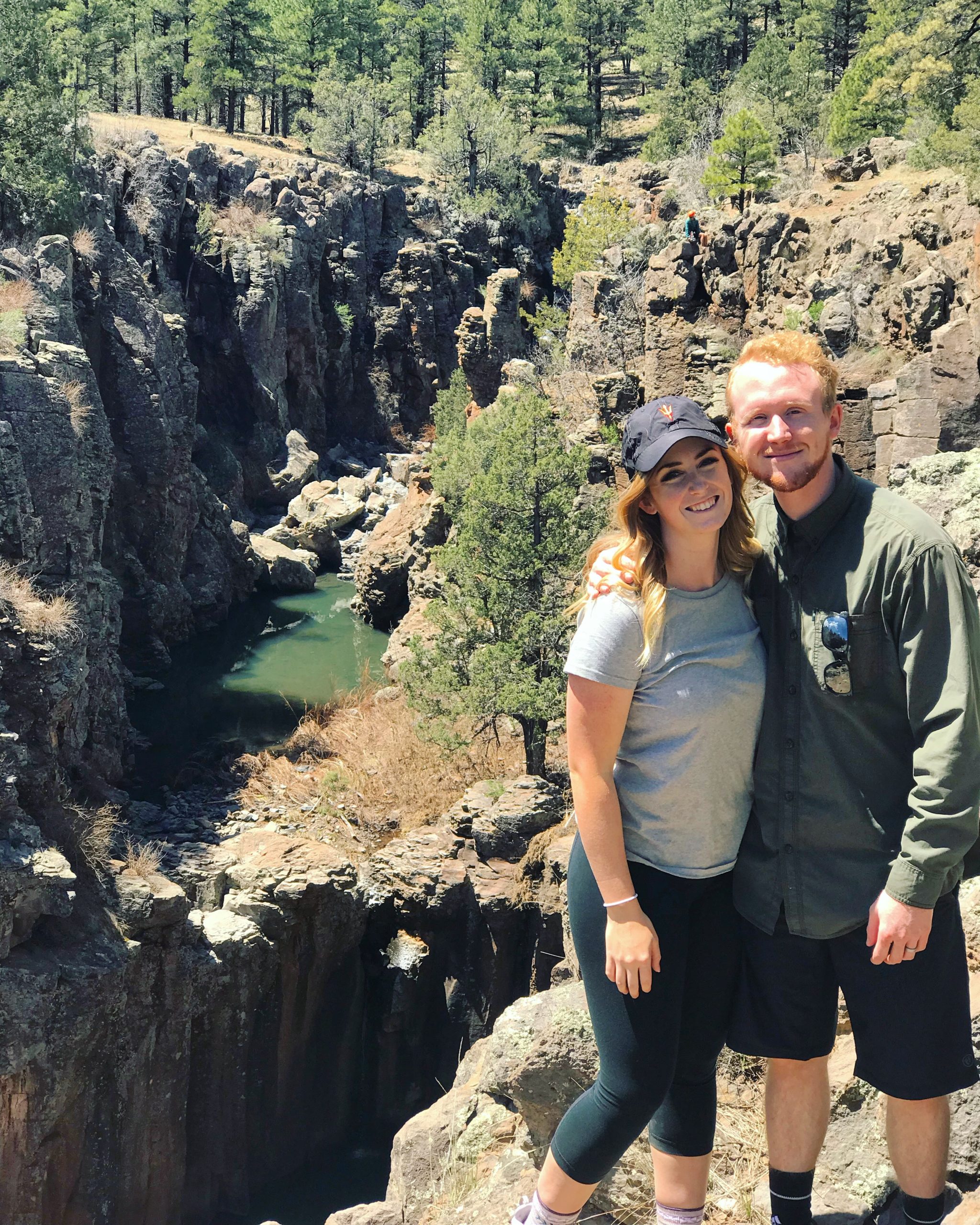
MY FIRST TRIP: Early April 2019, no flow (but it was a few days prior!!)
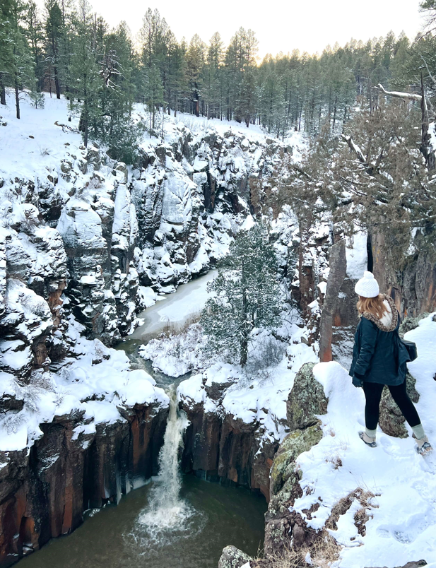
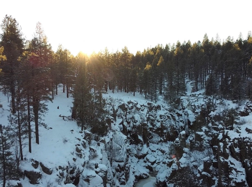
MY SECOND TRIP: New Year’s Day 2022, high flow (after a week of snowstorms!)
HOW TO KNOW IF IT’S FLOWING
Besides being aware of the seasons, I have another trick I use to check if the waterfall is flowing before I visit. Most of you may know this already, but I’ll explain just in case.
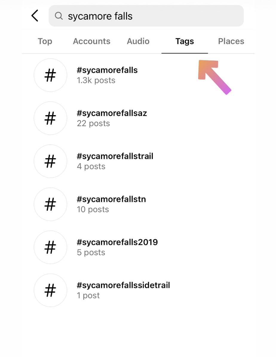
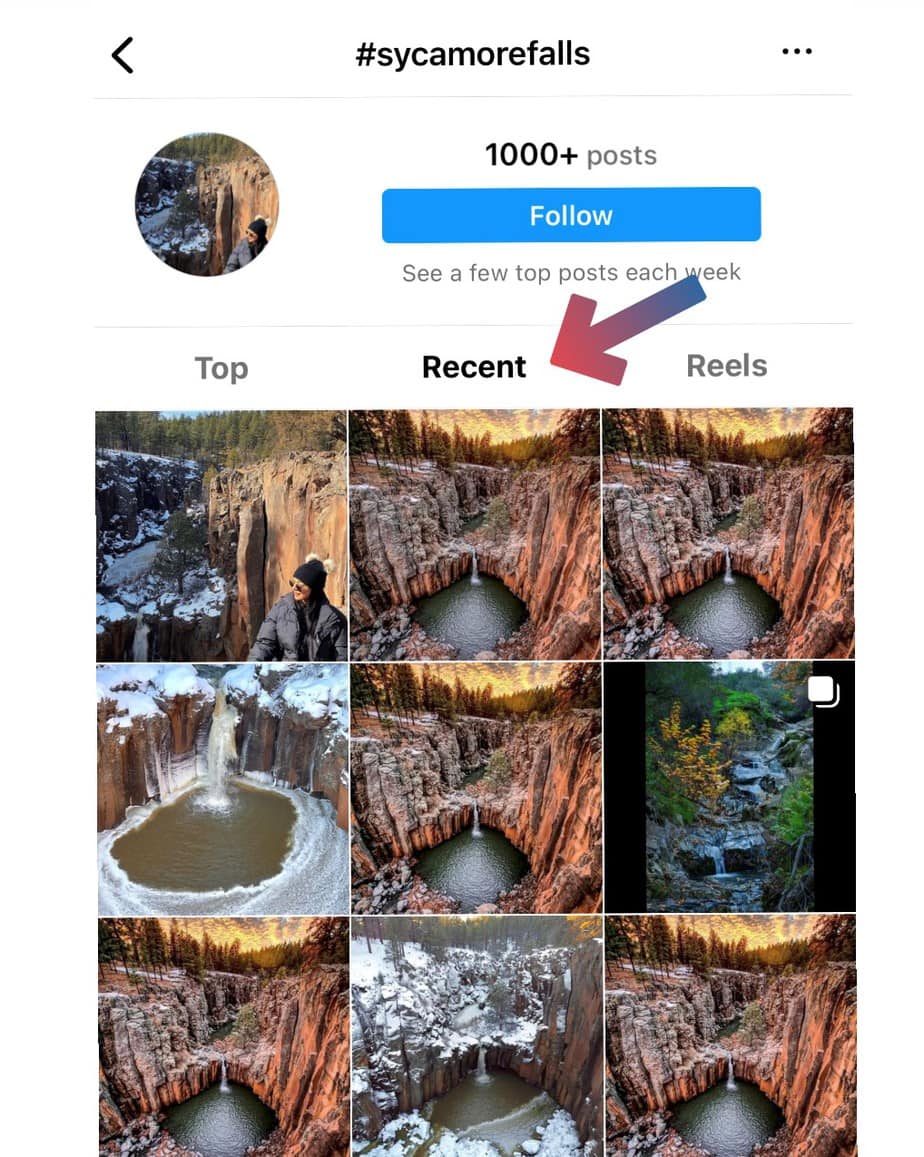
If you type the location ‘Sycamore Falls’ into the search bar on Instagram, you’ll see Tags and Places to the right- either will work. Click the right tag, and you’ll notice multiple pictures like in the photo below. Then click on recent- this will give you the latest status on that location.
Make sure you click on the photos to see the date at the bottom (go to the original user if the photo was shared by another page). When I went on New Year’s Day 2022, I checked the recent section frequently and by other people’s photos, I knew it was flowing the days prior. Mother nature is ultimately the boss here, but this trick has helped me on multiple occasions.
DRIVING TO SYCAMORE FALLS
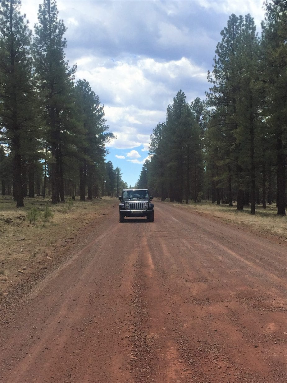
I HIGHLY RECOMMEND a 4WD vehicle to get here. The road is decently maintained, but if you’re going after snowfall or rainfall, the roads are likely to be muddy or icy. When we went in winter, it was icy and muddy- if we didn’t drive in a 4WD setting, we would have been slipping the whole time. I did drive past a truck stuck in the mud too.
FROM WILLIAMS
From Williams, take exit 167 south onto Garland Prairie Road. You will quickly pass a railway and the road turns into FR141. Follow this for 9 miles, then turn right onto FR109 or White House Lake Road- there is an obvious sign. Follow this for 3 miles and you will see a turn off to the left (look for the restroom hut) for the small dirt parking area.
FROM FLAGSTAFF
Going west from Flagstaff, take exit 178 south onto Garland Prairie Road then turn south. You will quickly pass a railway and the road will turn into dirt. You will go through the forest and then open prairie. Follow Garland Prairie until the GPS guides you to turn right onto Thomas Loop Road after 9.3 miles. You will make a sharp left in 1 mile onto E Garland Prairie Road.
Follow this 3 miles, then turn left onto FR109 or White House Lake Road- there is an obvious sign. Follow this for 3 miles and you will see a turn off to the left (look for the restroom hut) for the small dirt parking area.
If you’re coming from Phoenix, both of these routes are great and are only a few minutes’ difference. I’ve taken both!
HIKING TO SYCAMORE FALLS
I’ve gotten lost, WAY LOST, trying to find the famous waterfall the first time, so I want to help you find it.
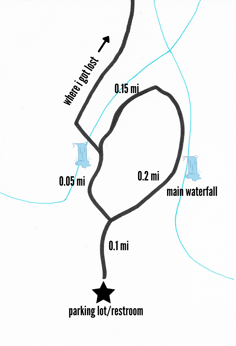
When you park near the restroom, you will see a sign to the right and the beginning of a narrow trail. In 0.1 mile, you will come to a fork. If you’re wanting to go right to the main waterfall, you need to go RIGHT.
We got lost by going left, crossing a different dried-up waterfall, and walking along the rim for miles until we turned around. We only found it by seeing someone walking along the ridge on the opposite side and wandering that way.
If you’re interested in finding more hidden spots in Arizona, visit this blog post about another spot near Sedona.
PHOTO OP LOCATIONS
MAIN WATERFALL
When you hit the fork, if you choose to go right you will hit the falls in another 0.1 miles or so (0.2) total. There are multiple viewpoints on the ledge- please be careful here! If you’re lucky, you will catch it flowing.
SECOND WATERFALL
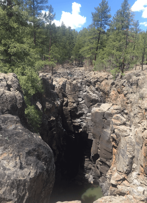
I mentioned earlier that I got lost on my first visit by going left at the fork, over the dried waterfall, and right along the rim. The big rocks we climbed over are SOMETIMES graced with a nice steady flow (sometimes you can’t even cross here). Below I show a picture of the area where there can be flow, and a recent Instagram photo of it flowing (please give the credit to the photographer on Instagram- I am sharing since I haven’t seen it flowing in person).

Along the rim
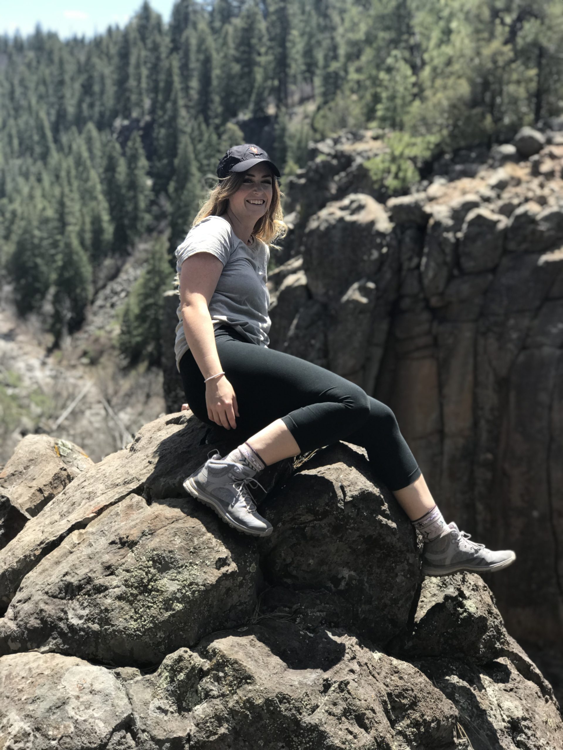
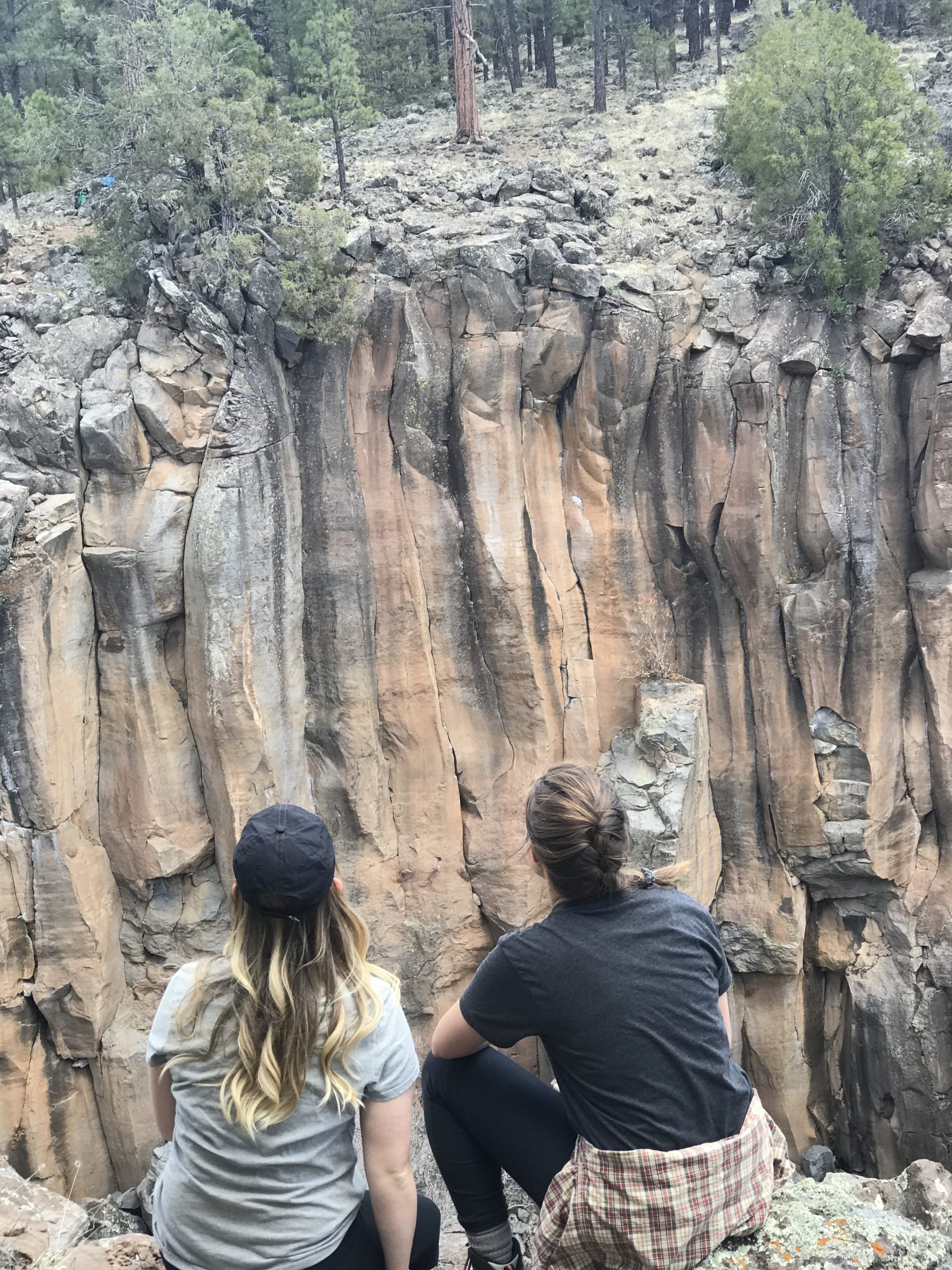
Even though we happened upon the rim trail on accident, I do think it is beautiful and would recommend it after seeing the main falls. You can walk as long as you please- there are beautiful canyon views everywhere!

WHAT TO BRING WITH YOU
- It’s smart to bring Crampons, especially if you’re going after heavy rain or snow
- A Camelback to carry your water and stay hands-free for photos
- A Tripod to take photos of your whole group (you’ll need this Phone Attachment + Bluetooth button to go with)
- A DJI Drone if you want to get some aerial footage
SUMMARY
I loved both of my trips to Sycamore Falls for different reasons, so I highly recommend you see it for yourself (even if it isn’t flowing). The area is beautiful!
Here are a few tips:
- Don’t drive without 4WD and be comfortable going through mud and water if it’s after precipitation
- Do research ahead of time and know where you want to go so you don’t get lost. There’s no service in the area, so download your AllTrails map ahead of time and take photos of this blog to use on your trip!
- Stop by historical Williams, Arizona before or after your trip. It is a famous Route 66 town.

