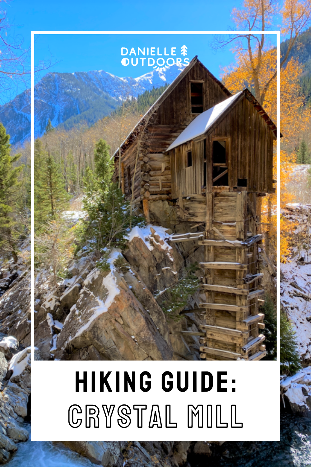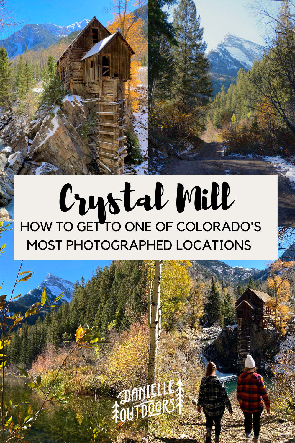
How to Find Crystal Mill in Colorado
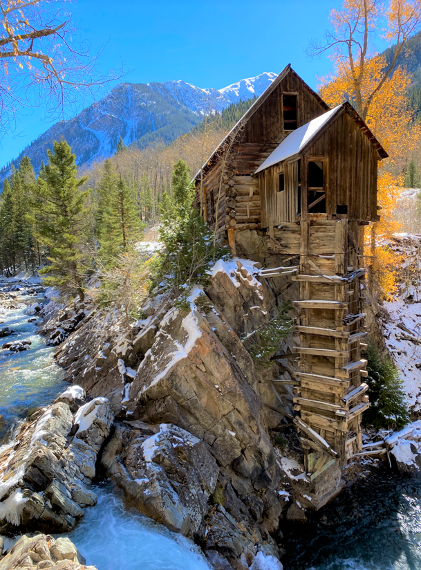
Crystal Mill is one of the most photographed locations in all of the US. The mill was originally constructed in 1893 and was created as a powerhouse for nearby silver mines. It is no longer operational but still sits above Crystal River for all to enjoy.
Disclaimer: This post does include affiliate links, at no extra cost to you.
WHERE IS CRYSTAL MILL?
Crystal Mill is in the Western Slopes of Colorado, just outside of the town of Marble. For this trip, I stayed in Grand Junction to visit a friend and it took us 2 1/2 hours to get to Marble. If your trip starts in Denver, it will take 3 1/2 hours to get to Marble.
There are multiple ways to get to Crystal Mill including driving and hiking, which we will go over below. Get excited!
DRIVING TO CRYSTAL MILL
You can drive to Crystal Mill, but you NEED a high-clearance, 4WD vehicle. This isn’t just a recommendation, it’s a must. We didn’t have one of these anyways on our trip, so we hiked. I watched videos of the road prior to my trip and it made me nervous to take my jeep!
After walking the whole route, I would be okay to take a Jeep. It wasn’t a busy day, but we saw a few jeeps, a few UTV’s, and a few brave SUVs. Plan for it to take about an hour once you hit the dirt road. The beginning is very steep and there are some very rocky parts, plus you may have to yield to cars coming back on a narrow road. We saw an SUV that stopped and told us they had to turn back around the 2-mile mark because the road “went rogue,” so they chose to hike instead.
The other tricky part about this route is the weather. You can’t prepare or check beforehand for patches of snowfall or mud- this is why you need 4WD. This road is CLOSED in the winter. You can always call the Ranger District in Carbondale to check on the road status at (970)-963-2266.
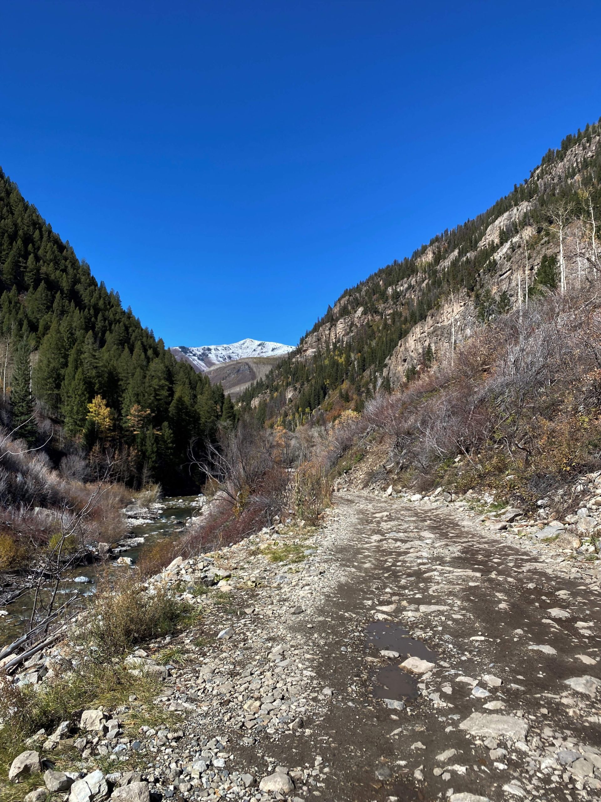
HIKING TO CRYSTAL MILL
If you don’t have a 4wD/ high-clearance vehicle, or you’d rather get some exercise, hiking is the way to go! It is difficult but rewarding. Let’s go over all the details you’ll need.
CRYSTAL MILL HIKE
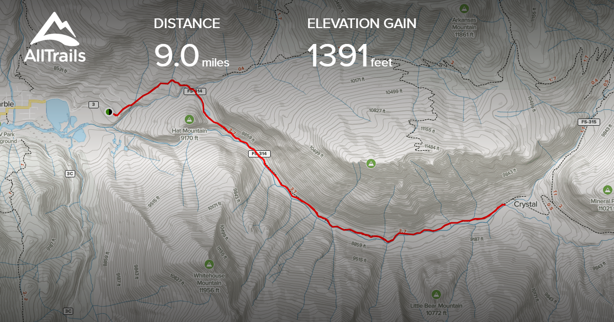
Distance: 9.4 mi total/roundtrip
Elevation Change: 1391 ft
Difficulty: Hard
AllTrails Name: Crystal City Road #314
Duration: 4-6 hours
Location: 8488-8948 County Road 3, Carbondale, CO 81623
Dog Friendly: Yes
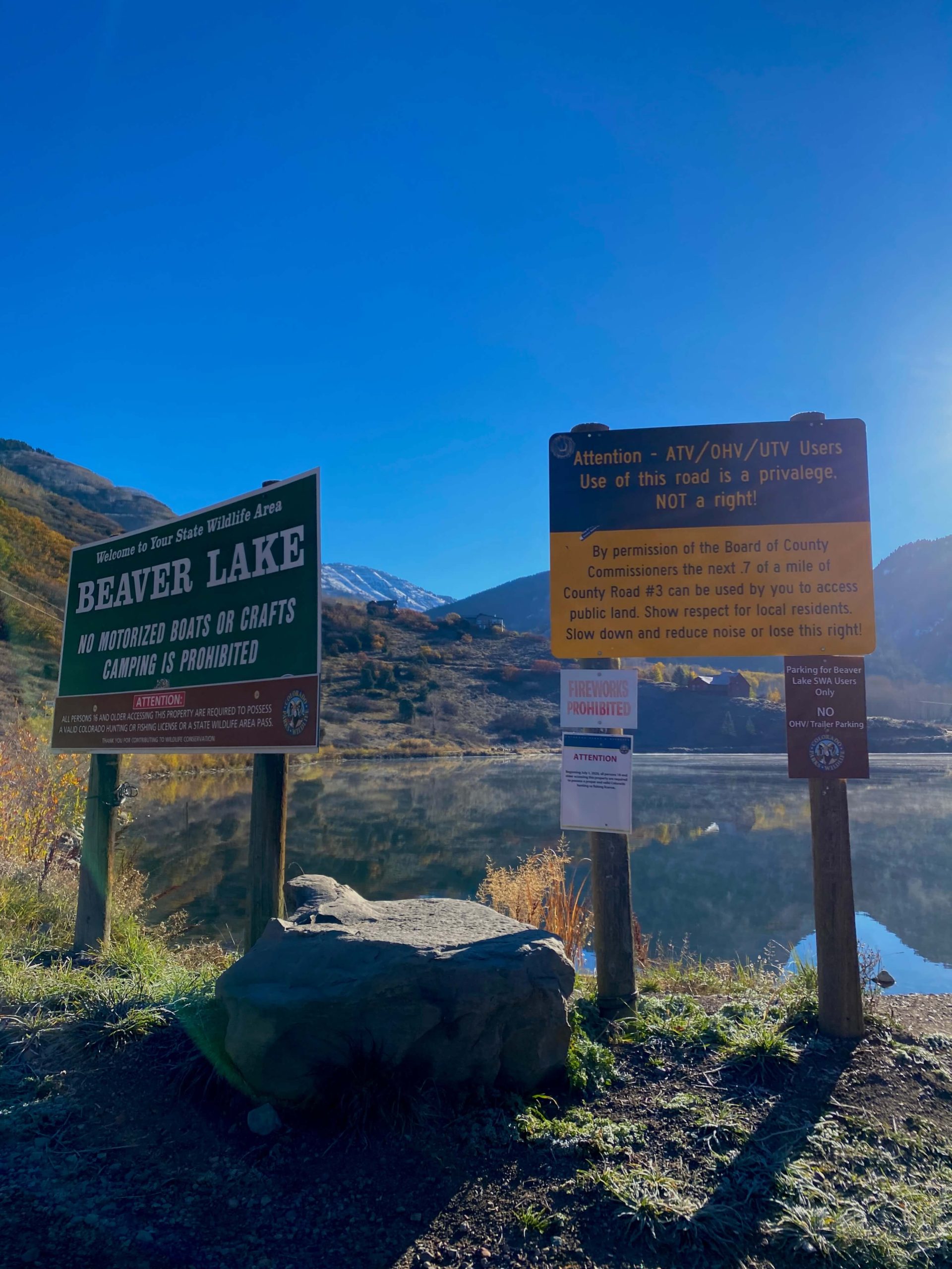
I suggest typing in Crystal Mill to your GPS to get here but know you can’t go all the way due to the dirt road. As you pass through the cute little town of Marble, you will reach Beaver Lake and this sign below. It is a bit misleading as it makes it seem like you need to turn around now if you don’t have 4WD. You actually can go 0.7 miles further to the base of Daniel’s Hill– a local helped us out with this (I didn’t feel like adding on another 1.4 mi to our trip when the hike is already 9.4 mi!). You’ll see mailboxes on the right and an abandoned restaurant building on your left- this is where to park!
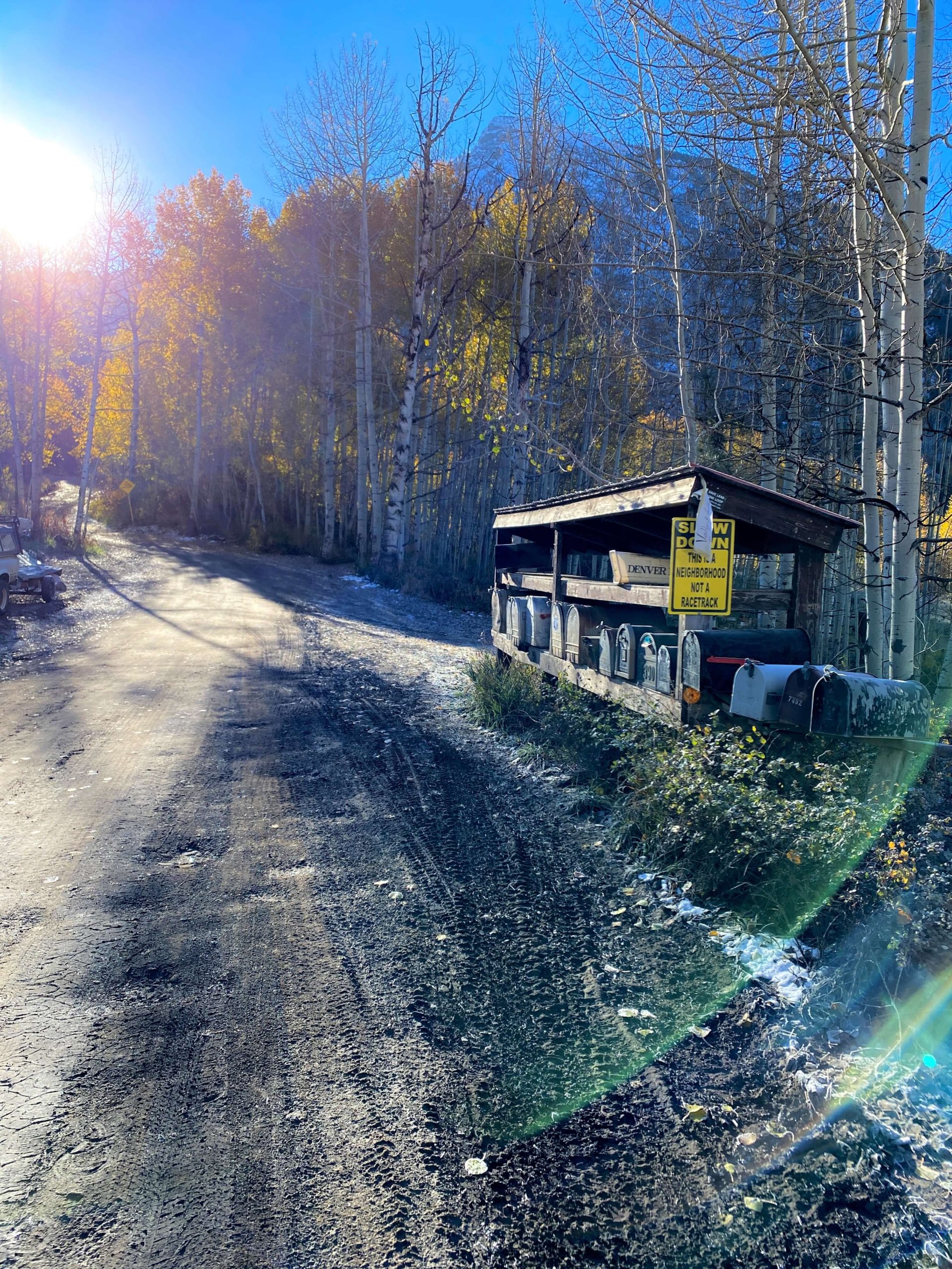
You’ll start your hike with a quick, steep ascent up Daniel’s Hill that makes most of the elevation gain of the whole hike. Marble, Colorado has a steep elevation of about 8,000ft, and you’ll gain another 1,300ft, so be prepared to take multiple breaks- it’s tough!
When you hit about the 0.8 mi mark, you should see this sign. Make sure you GO RIGHT here.
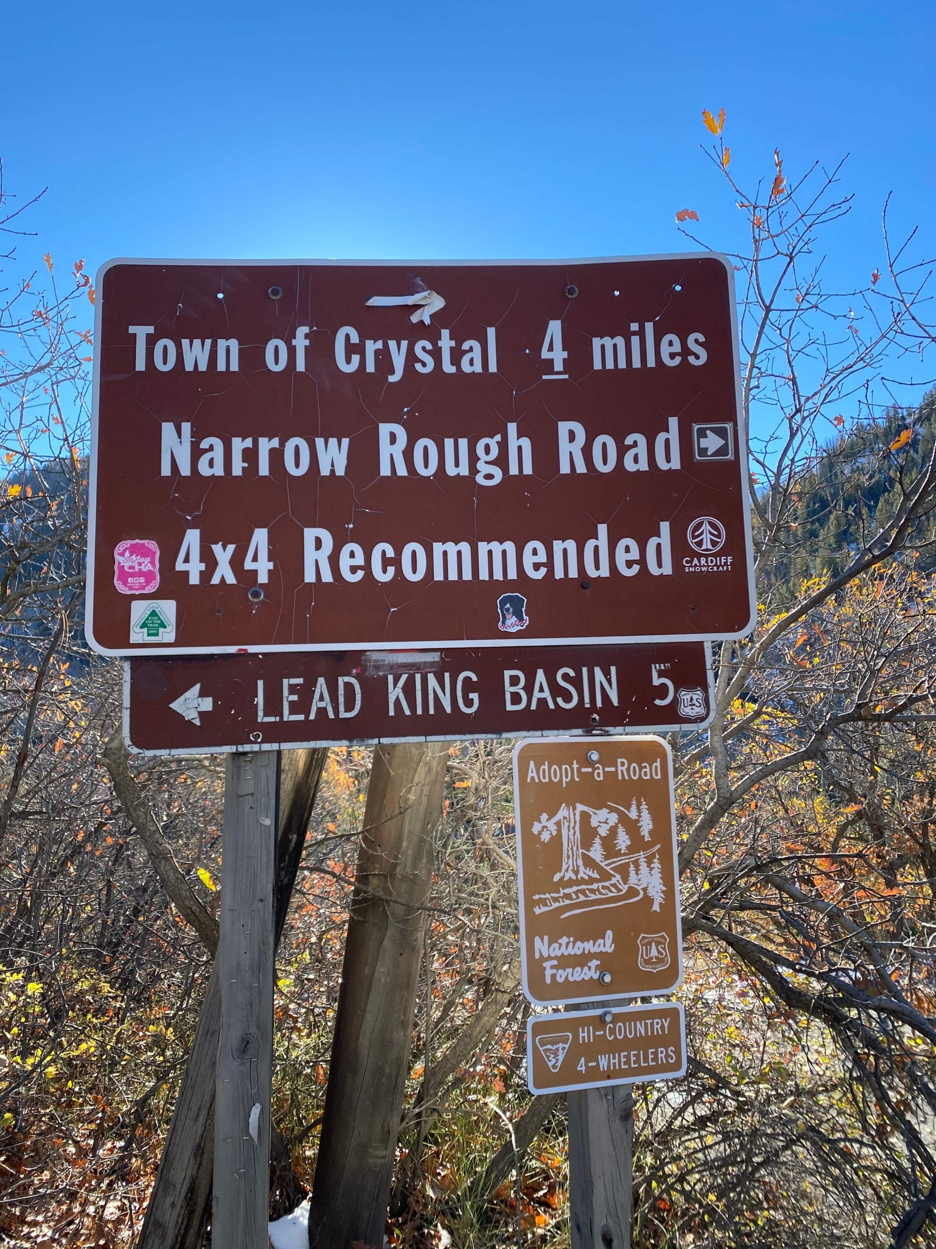
After this sign, you’ll drop slightly in elevation and most of the hike after that is flat with beautiful views on both sides. You’ll also soon notice Crystal Mill on the right which you’ll follow all the way to the mill. If you pass Lizard Lake, you know you’re going the right way.
I highly suggest using AllTrails to make sure you are going the right way and to be able to check how close you are to your destination! I have the Pro version which alerts me if I go off the main trail.
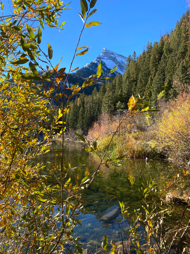
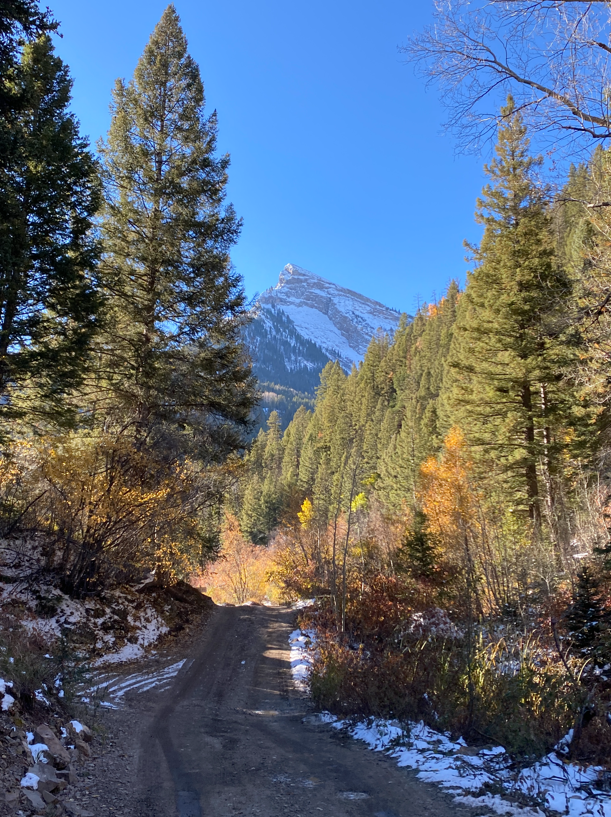
It’s definitely a long trail, but the time goes by quickly. We went early in the morning (started at 8:30, and a week or so after full peak) and it was empty which was nice (but a bit scary haha). I have heard from others if you come after 10:30 or during peak, you have to constantly step to the side to let cars drive by which can be annoying.
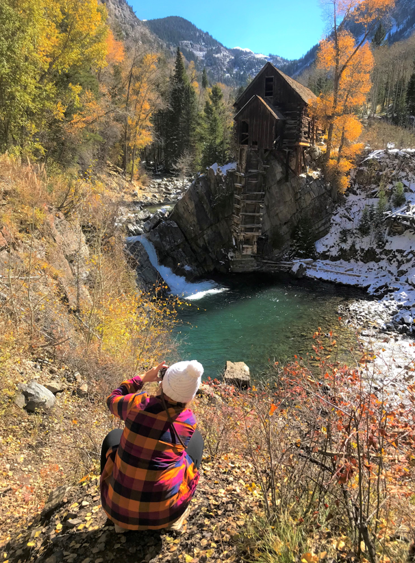
It took us 2 hours and 30 minutes to get to Crystal Mill. Trust me, you won’t miss it. All of a sudden, you’ll see the mill pop out of the forest to your right.
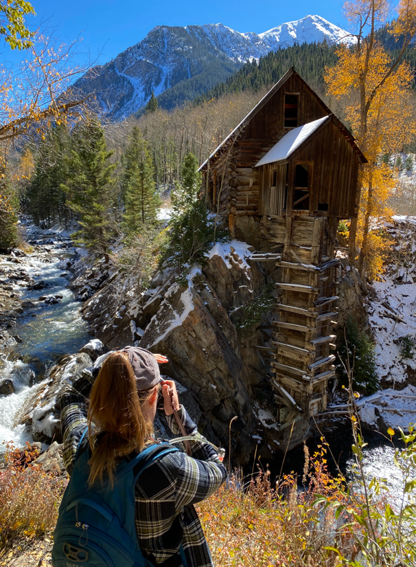
photo op locations
When you see the mill, you’ll notice a rope. You are free to take photos behind the rope, but to go beyond it, you need to go 1,000 ft to the town of Crystal (super small- directions on a sign by the rope) to get a $10 photo permit. This allows you to get to water level (and swim if it’s warm!). I think the permit is worth it to be able to photograph the mill from different viewpoints.
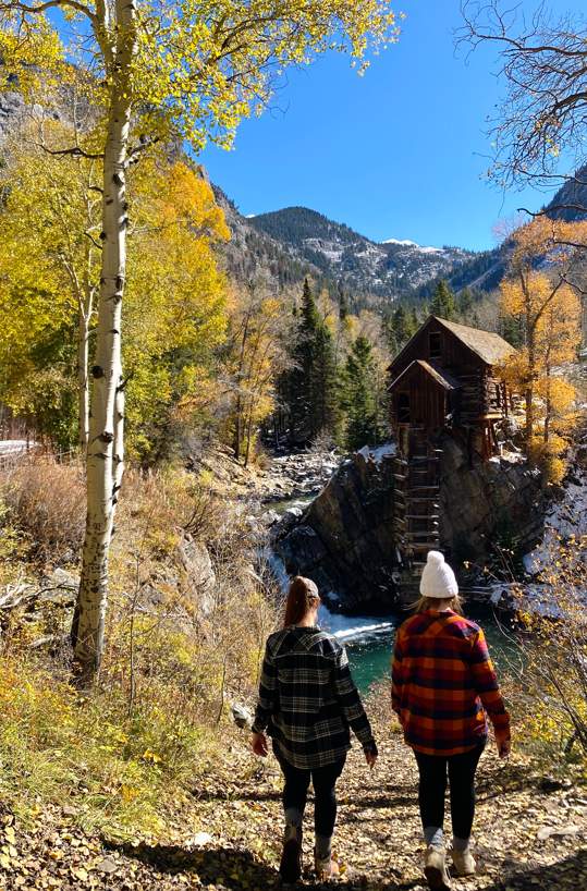
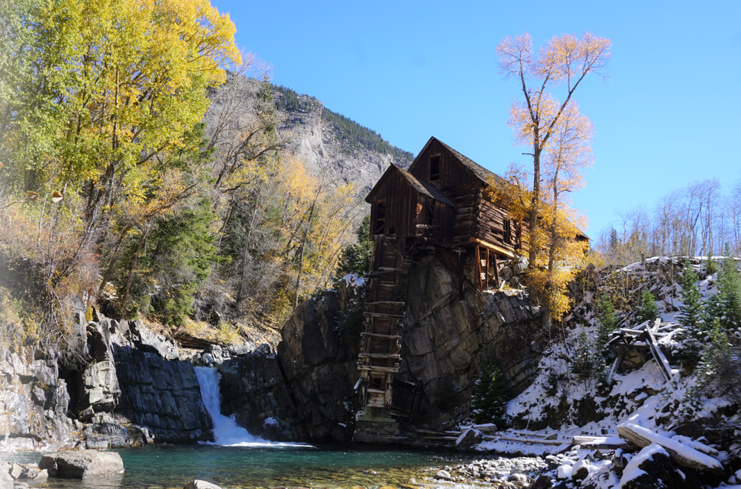
SUMMARY
We spent 2 1/2 hours hiking up, 1 hour relaxing and taking photos, and 1 hour hiking back, making it a 4 1/2 round trip (much less than we were expecting)! We had so much fun.
Here are a few tips:
- Don’t drive without 4WD and be comfortable going through mud and up steep hills.
- Bring bear spray! I didn’t have any protection and I was freaked out. Be safe.
- If you’re with a small group, bring this tripod and iPhone attachment for photos
- If you want the best photo lighting, go at sunrise or later in the afternoon
- Do research ahead of time. There’s no service in the area, so download your AllTrails map ahead of time and take photos of this blog to use on your trip!
More COlorado Blogs
