Hiking the Horton Creek Trail Near Payson, Arizona
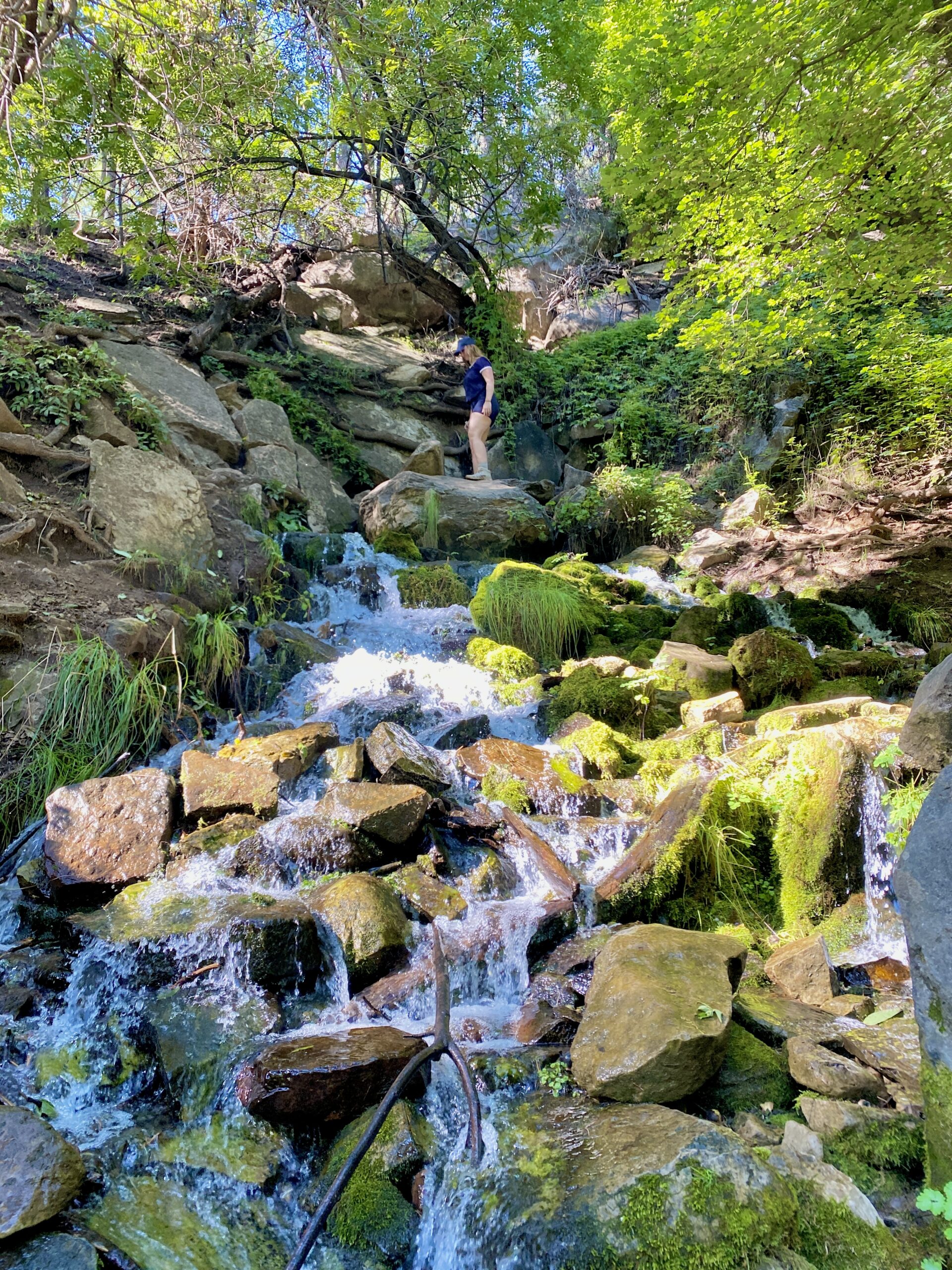
Summer in Arizona is all about beating the heat with trips to the north and enjoying water hikes. Hiking near Payson, Arizona and the Mogollon Rim is one of my favorite places to do this, and Horton Creek Trail is a great option. I love sharing my favorite hikes with all of you- just please remember to be responsible, appreciate our state, and leave no trace.
This post contains affiliate links that I do profit from, if you choose to support my business. These links are at no cost to you.
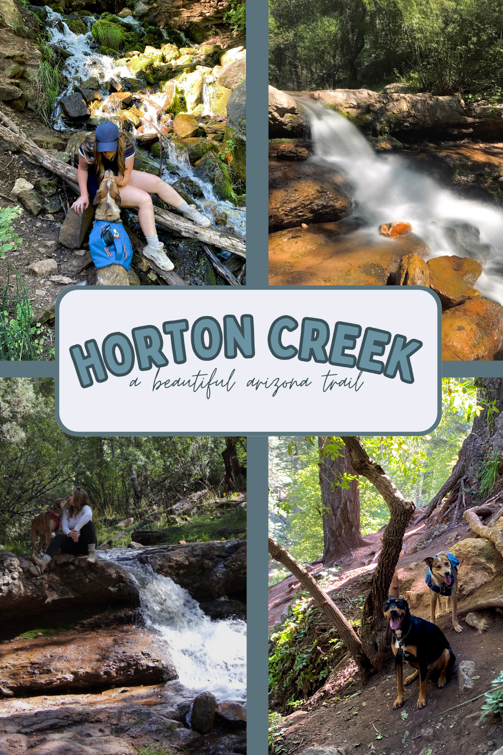
Where is Horton Creek Trail?
The Horton Creek Trail is located in Northern Arizona near Payson, Arizona and the Mogollon Rim. If you are not familiar with the Mogollon Rim, it is the drop-off point of the Colorado Plateau that separates the desert from a more foresty landscape. It’s the perfect place for us desert rats to escape in the summer. This trail specifically is 20 minutes outside of Payson, AZ BELOW the Mogollon Rim. It takes 1.5-2 hrs driving from central Phoenix, which isn’t too bad at all!!
What Time Is Best to Visit Horton Creek Trail
Time of the year
This is a popular trail in Summer from Memorial Day to Labor Day. I have also done it in October when leaves change colors and it was beautiful then too. The nice part about this trail is it is in the forest so there is shade almost the whole way, and you’re along a creek the whole time if you get hot!
Time of the Day
Any time of day is perfect to hike this trail. It’s not one where you have to see it at sunrise or sunset because of being within the tree cover, which is nice for a change. I have usually done it in the middle of the day.
NEED SOMEWHERE TO CAMP??
I’ve created a FORTY PAGE GUIDE outlining all the best free and paid campsites in Northern Arizona, including the Payson area.
It can be hard to spend hours researching campsites, trying to figure out were they’re located, what they look like, the price, and the amenities. With my guide, those days are over! I give you everything you need to know, with links to my Google Maps AND it’s in a PDF so you can access it any time!
Hiking Horton Creek Trail
Parking At the TRailhead
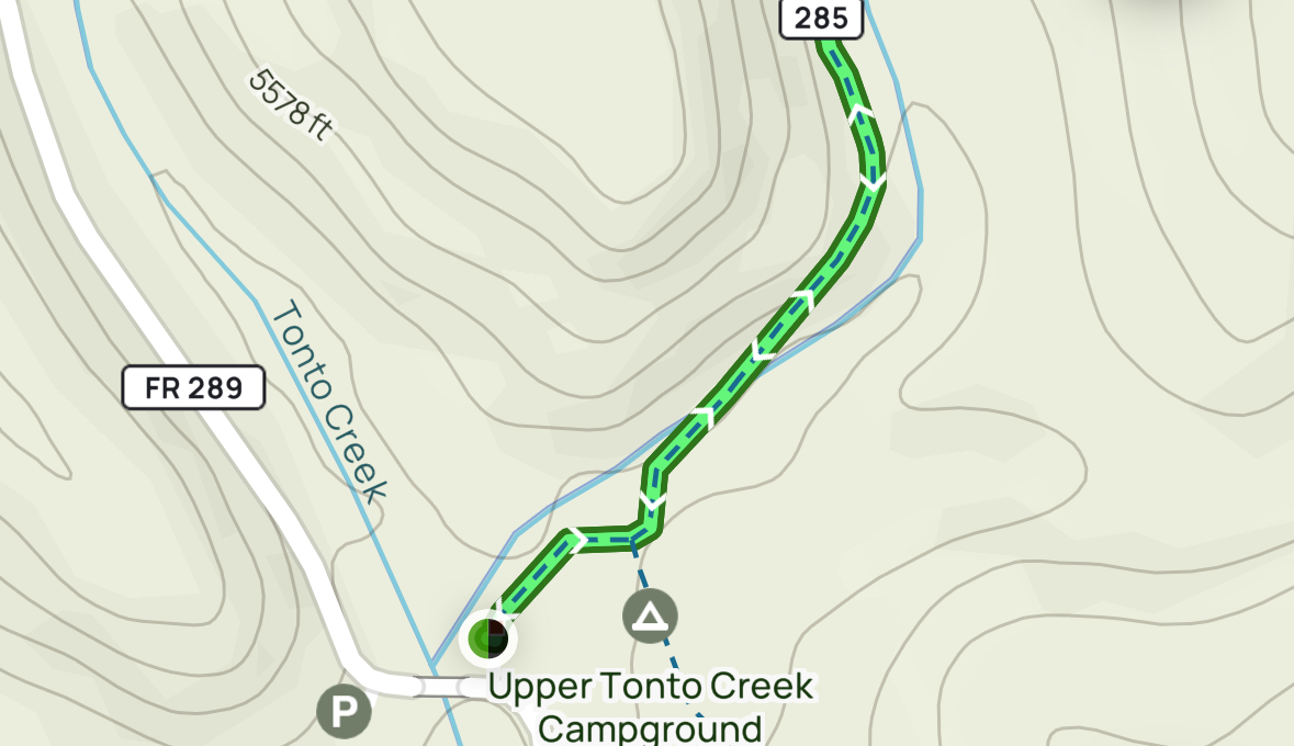
You won’t have a hard time plugging in “Horton Creek Trailhead” into Apple or Google Maps. It will take you off Highway 260 to Tonto Creek (the sign will also say this is the way to the Fish Hatchery). You’ll pass the lower campground and shortly come to a bridge over the creek. You pass the bridge and take a sharp left into the parking lot, which does have a pit toilet. It’s free to park.
You will cross the bridge and turn to your left towards Upper Tonto Creek Campground and you will soon see an obvious trail sign.
What is the Trail Like?
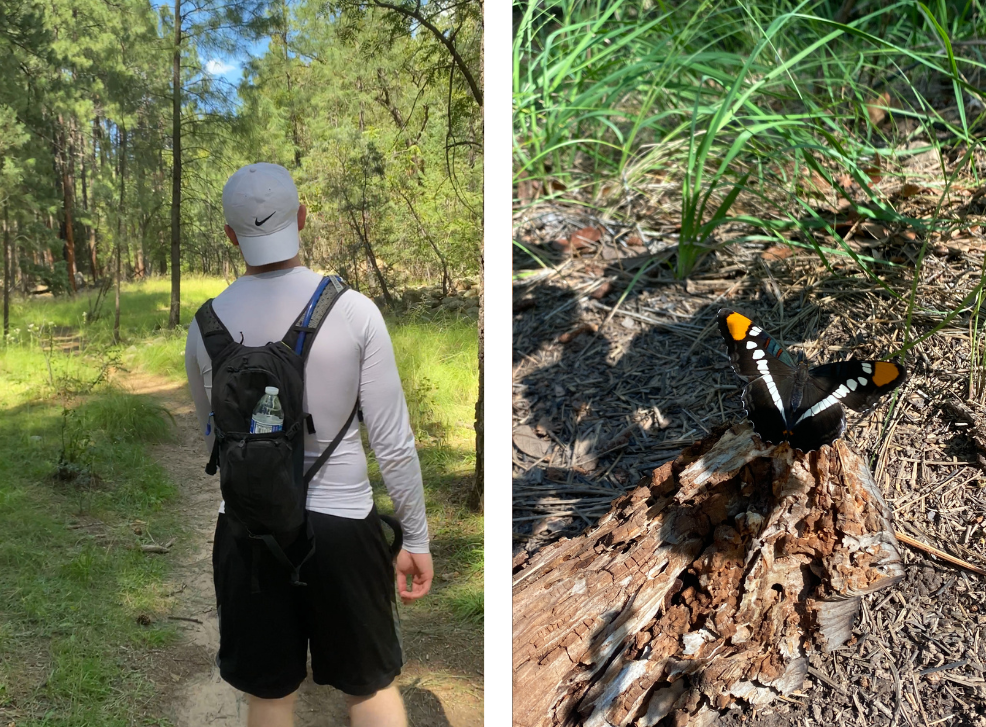
The trail is great! You do start crossing the creek once (but you can get across the rocks), and then the trail is mostly flat, with very gradual elevation gain. It is covered by trees, so you get to enjoy a little bit of shade. I think it’s great for dogs and kids as well.
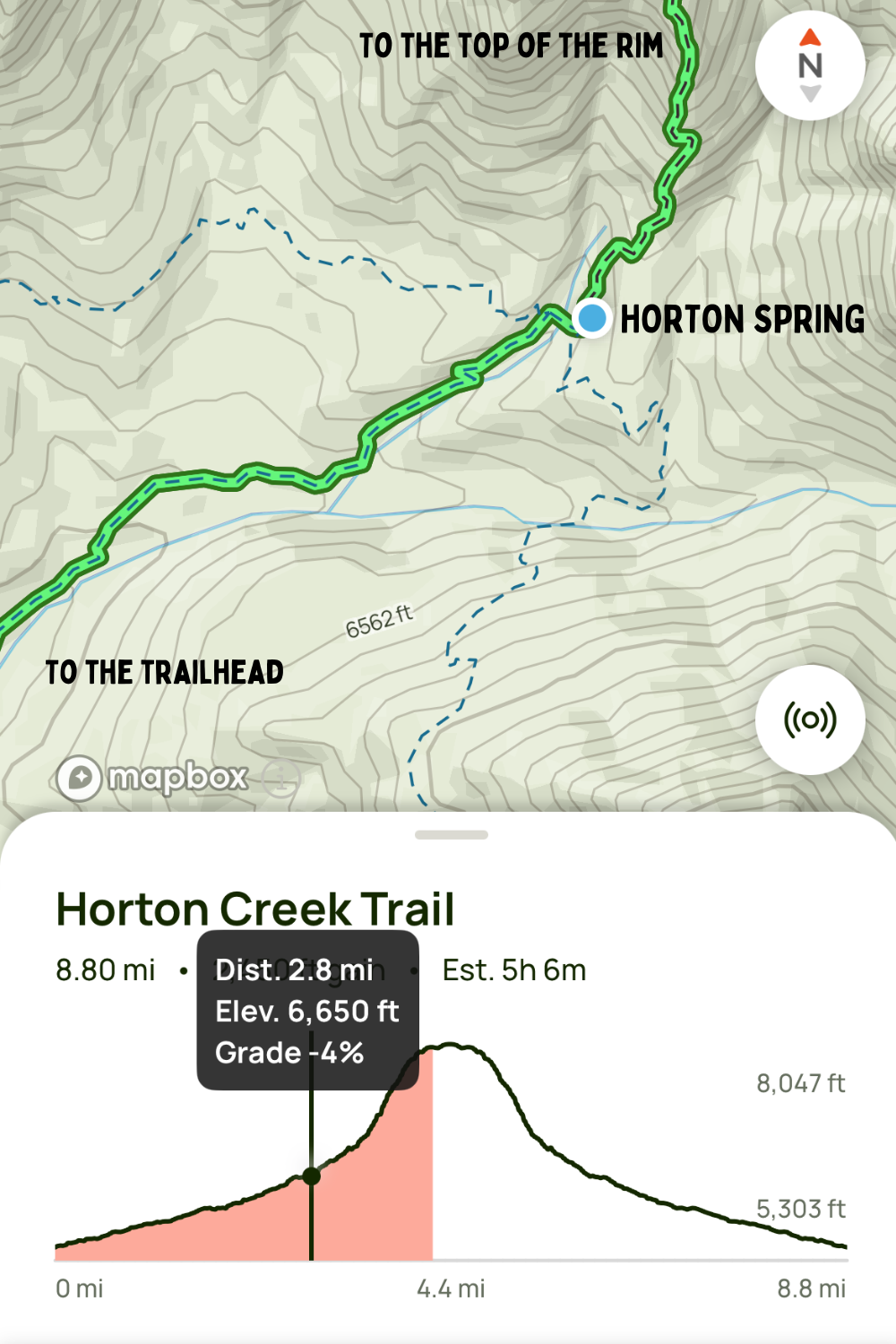
Horton Springs via Horton Creek Trail
There are some important things to note here. If you click on the “Horton Springs via Horton Creek Trailhead” link above, it will take you to AllTrails and tell you the trail is 8.8 miles. This trail connects to the TOP OF THE MOGOLLON RIM. You don’t need to go all the way up there to see the Spring (my stopping point). There is also the Horton Springs Trail HERE, which goes from the TOP OF THE RIM down to the Spring. This is not the trail I’m talking about. So, use the Horton Creek Trail to navigate, but note you’re only going 2.8 miles to the spring (shown below).
Horton Creek Trail- Features
Waterfall #1
It’s not clearly marked off the trail, but there is a great waterfall at the 1.2 mile mark TO YOUR RIGHT. You’ll have to take a side trail down to the creek. There are many small waterfalls along your way, so if you miss it, there are others!
iPHONE PHOTO TIP: Shoot a photo in LIVE, then edit it after and change to long exposure for the effect of the top left photo below!
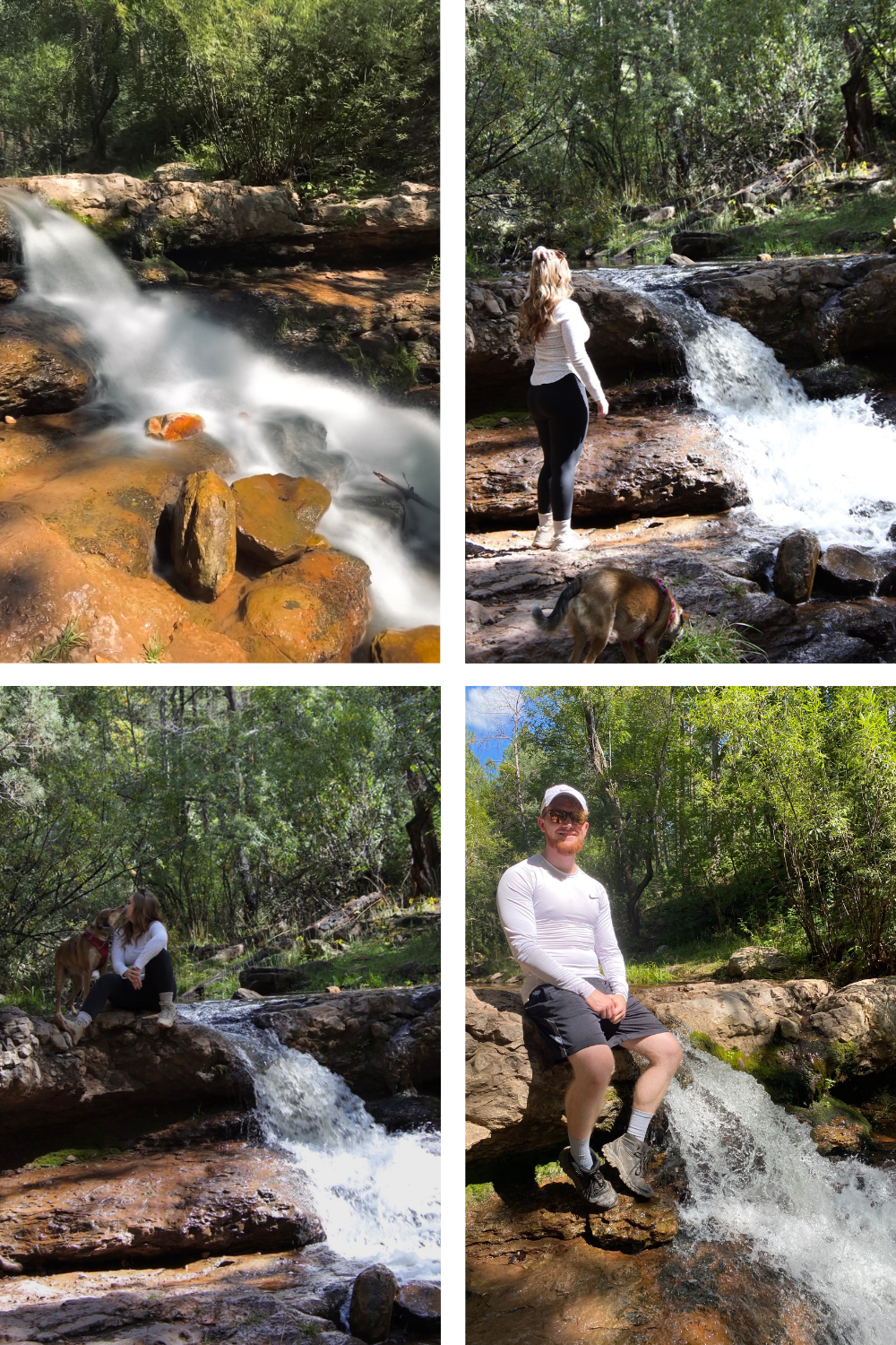
waterfall at 1.2 miles into horton creek trail
Horton Springs
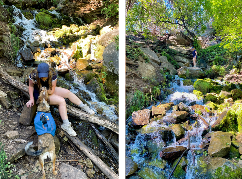
There is actually a SPRING on this trail, which is my favorite feature. A Spring is water that releases at the surface from an underground water source. The pressure purifies the water and pushes it up to the surface. It’s always safer to filter your water, but I felt comfortable drinking right out of the spring source here. I brought a clear waterbottle and dipped it into the ground. It comes out perfectly clear and SUPER COLD. It was delicious. Plus, the waterfall it creates is beautiful too.
Nearby Adventures
Things to do near Horton Creek Trail
There is sooooo much to do in this same area. I will list some of my favorites below. I highly recommend camping somewhere in the area to have more time to experience it all. Download my NORTHERN ARIZONA CAMPING guide for more details.
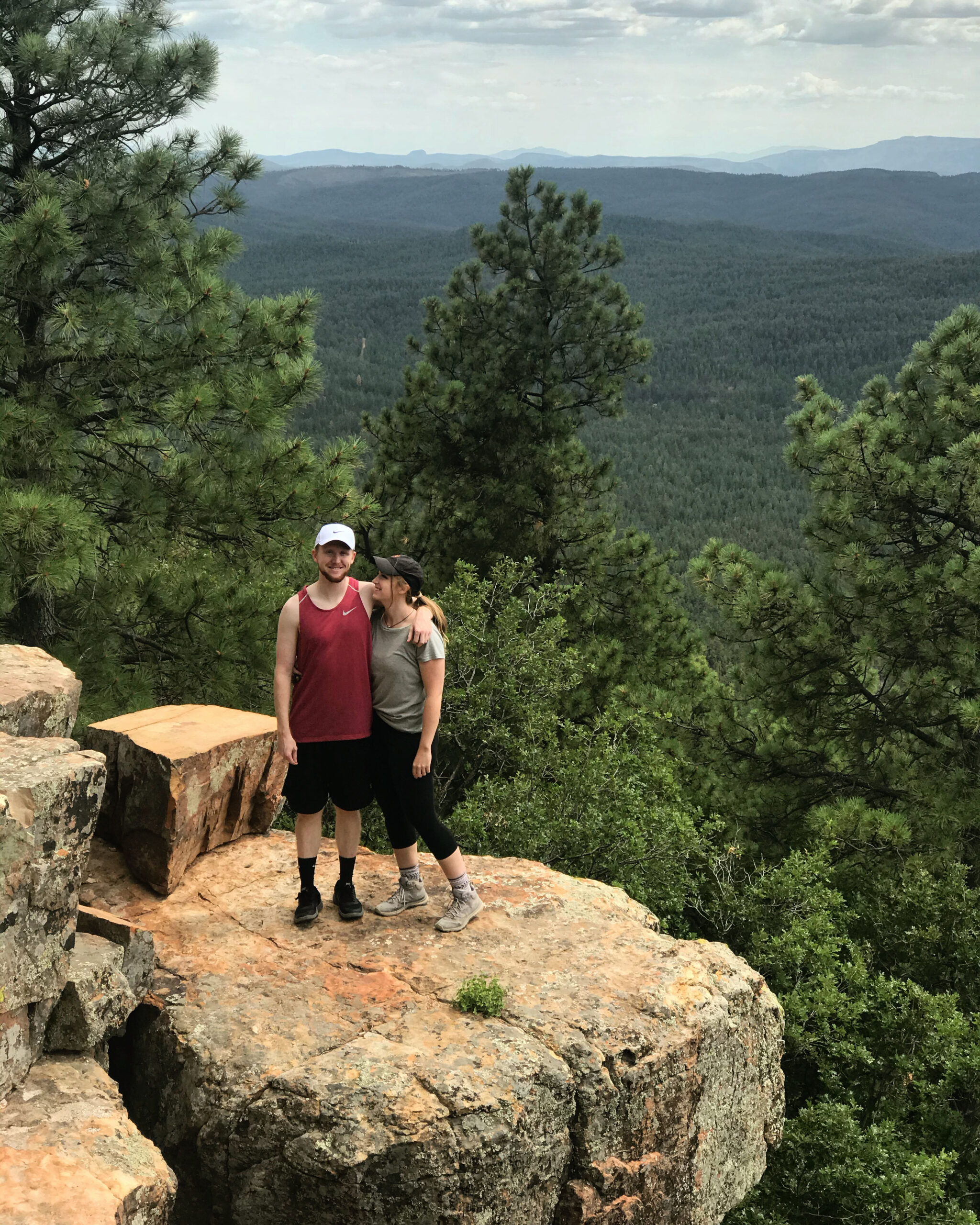
Things to do near horton creek
- Visit the Fish Hatchery
- See Christopher Creek, and visit the restaurants on Christopher Creek Loop Road
- Drive Mogollon Rim Road 300 and visit the visitors center
- Stop by a “Rim Lake” like Woods Canyon Lake or Willow Springs Lake
- Drive to Blue Ridge Reservoir and kayak
- Grab ice cream in Payson, AZ on your drive out
- Hike to Water Wheel Falls near Payson
- Go to the Below the Rim Meadery (fermented honey alcohol)
…..the list goes on forever!
