Hikes in the Superstition Mountains (& a DOWNLOADABLE GUIDE!)
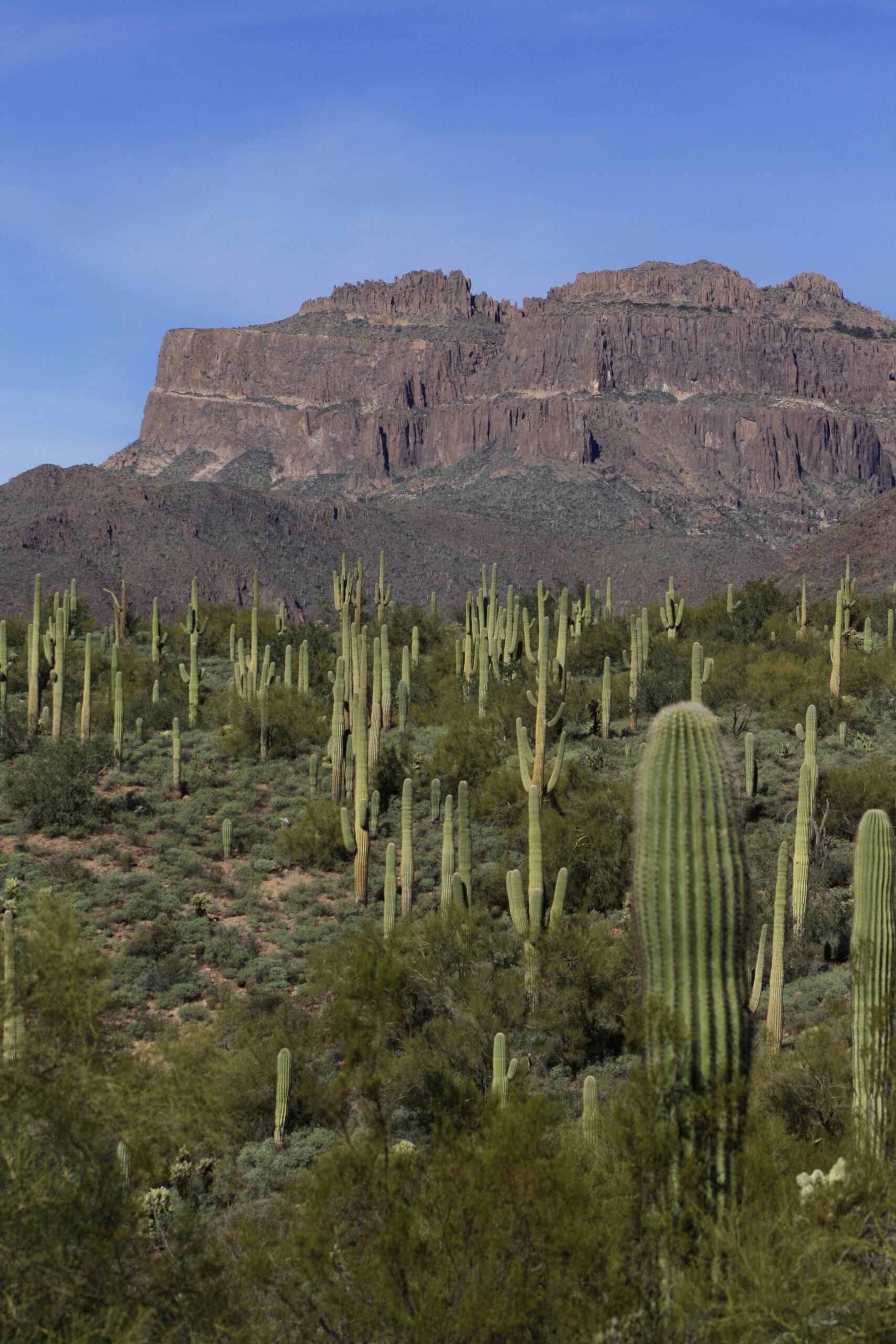
The Superstition Mountains are MY FAVORITE MOUNTAIN RANGE. They’re so unique, so rugged, and there’s so many cool landmarks. I’ve never seen anything like it. I’ve been living in Arizona for a decade and now live only 15 minutes away, so I spend plenty of time exploring the area. I wanted to compile a list of bucket list hikes in the Superstition Mountains so YOU CAN EXPLORE TOO!
This post contains affiliate links that I do benefit from, at no cost to you.
BUCKET LIST HIKES IN THE SUPERSTITION MOUNTAINS
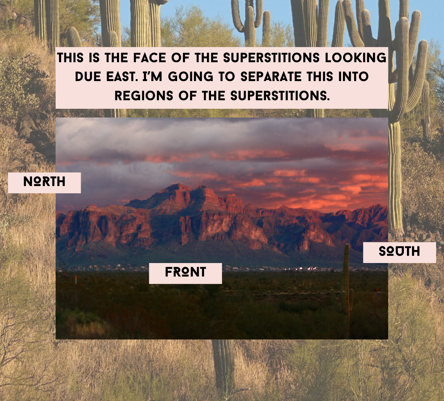
Let’s go over a bit of geography first. Most of you already know where the Superstitions are, but I’ll go over it anyways. These beautiful mountains are located 30 minutes east of Phoenix. I’ll be separating this post into hikes on the North, hikes on the front of the mountains, and hikes on the South, like in the photo below. I feel like this is the best way to organize hikes in the Superstition Mountains.
NORTH SIDE HIKES IN THE SUPERSTITION MOUNTAINS
1. MASSACRE FALLS
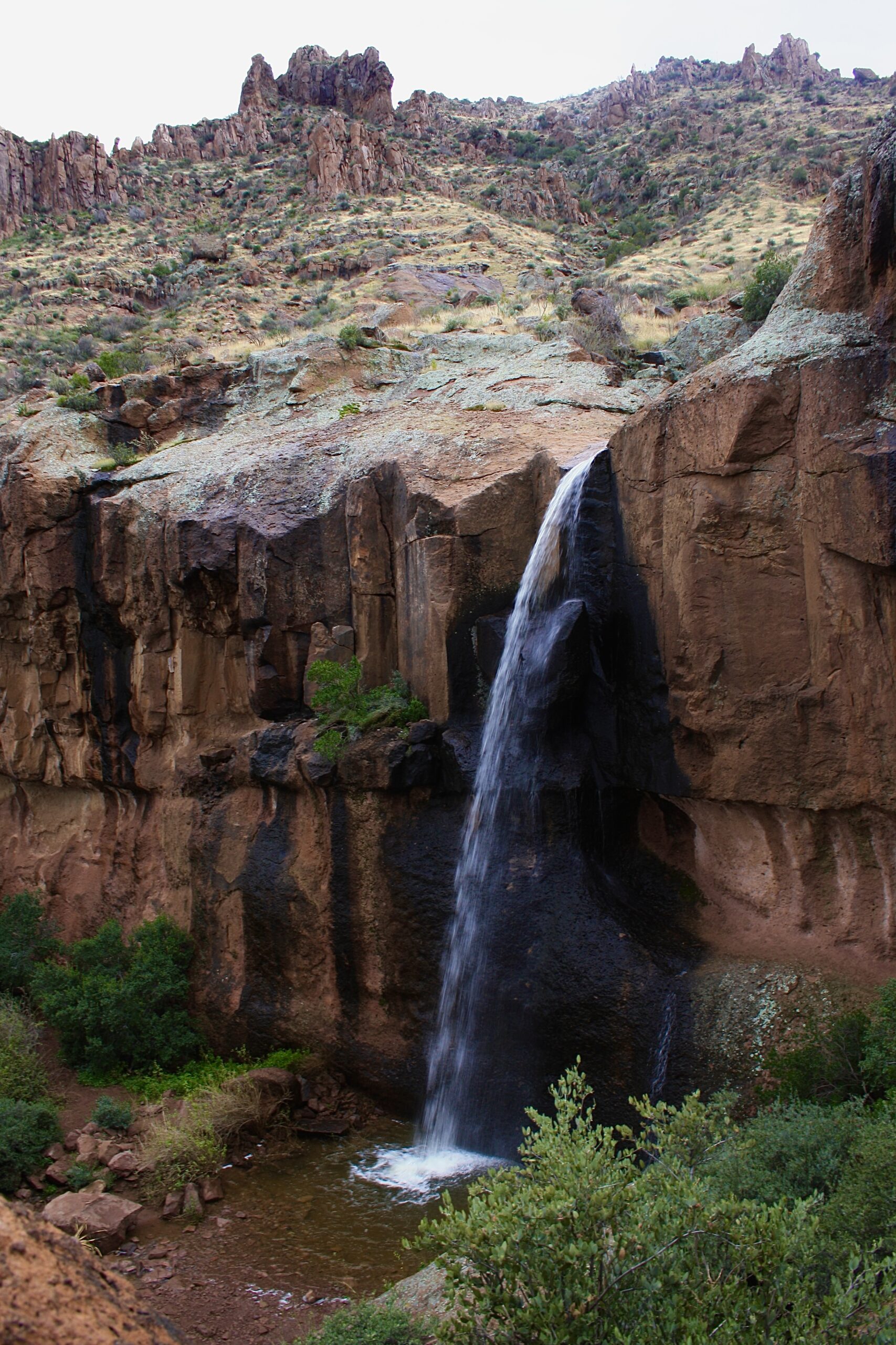
Massacre Falls is one of my absolute favorite hikes in the Superstition Mountains. This is one of our desert waterfalls, but it is seasonal. This waterfall will flow after a monsoon or after a few days of desert rain. If you’re able to catch it, you’re lucky. I love that you get to walk along the stream the whole time. The landscape on this trail is so different than other parts of the mountain too. It almost feels like you’re in some European country. My advice is to use AllTrails and look at recent reviews to see if it’s flowing before you make a trek out there!
MASSACRE FALLS HIKE STATS
Length: 5.4 mi
Elevation: 1,092 ft
Time: 3-4 hours
Difficulty: Moderate (5/10)
2. PRAYING HANDS TO SLOT ROCK
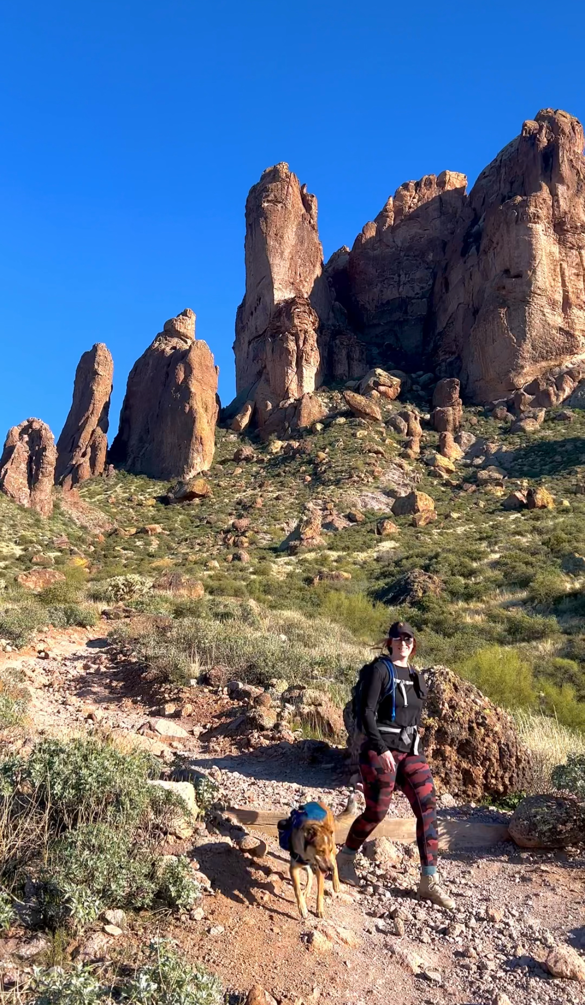
outfit details: dog backpack, pants- lululemon, my backpack
This is a perfect little 2-hour hike to bring your friends or family. It’s perfect to talk and catch up. It has one little good incline, and the rest is pretty smooth sailing. I love how up close you get to the spires- my favorite part of the hikes in the Superstition Mountains.
PRAYING HANDS HIKE STATS
Length: 4.3 mi
Elevation: 944 ft
Time: 2 hours
Wear Your Phoenix Pride!
I created a hiking tshirt with iconic Phoenix landmarks, including hikes within the Superstition Mountains, and more! If you like to wear your passions, this is the shirt for you. I so appreciate the support!

3. HACKBERRY SPRINGS
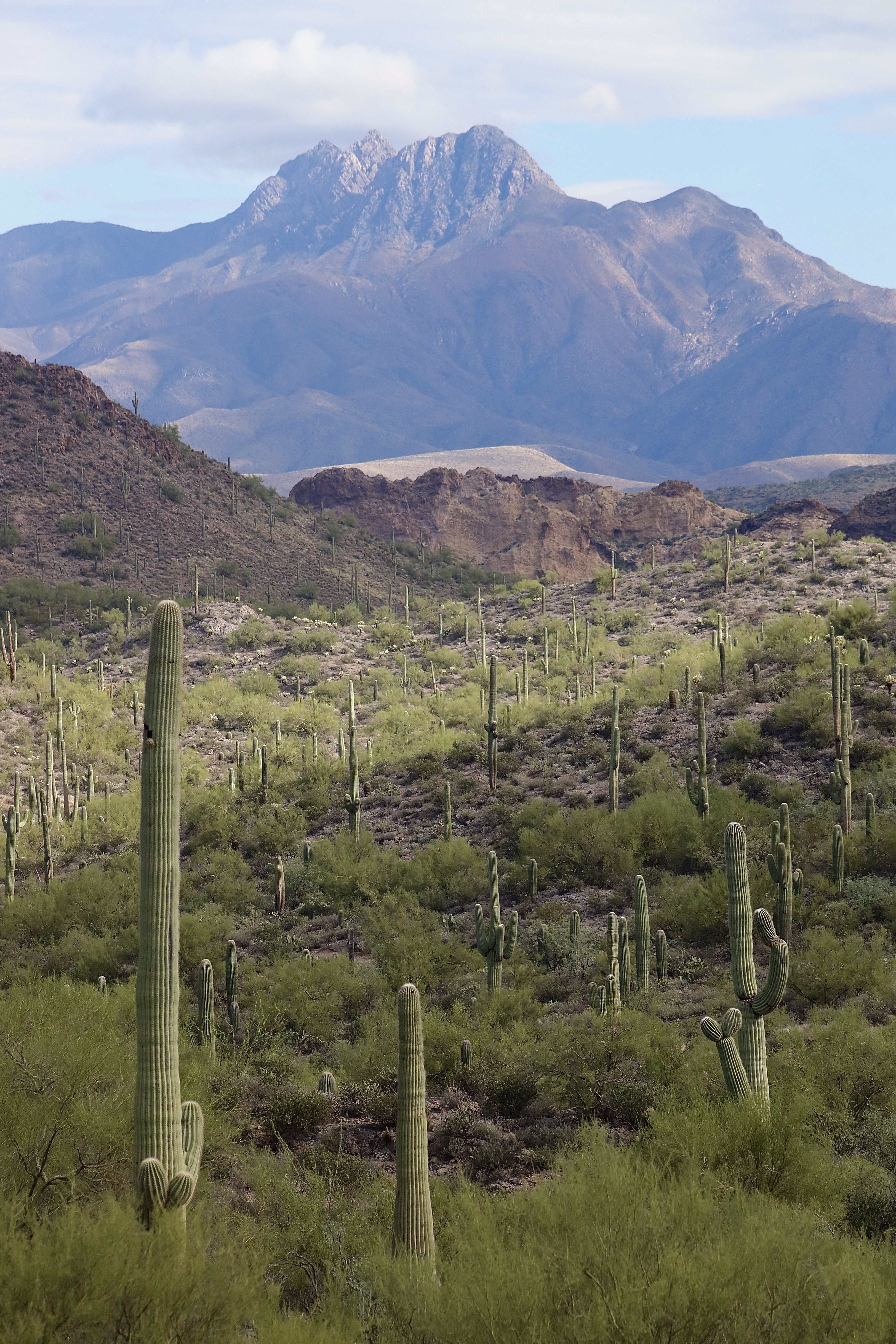
Honestly this has some of the best mountain views of all the hikes in the Superstition Mountains. And, it’s easy! Such a nice weekend morning stroll to do alone or with a friend.
HACKBERRY SPRINGS HIKE STATS
Length: 3.7 mi
Elevation Change: 515 ft
Time: 2 hours
4. BLACK TOP MESA
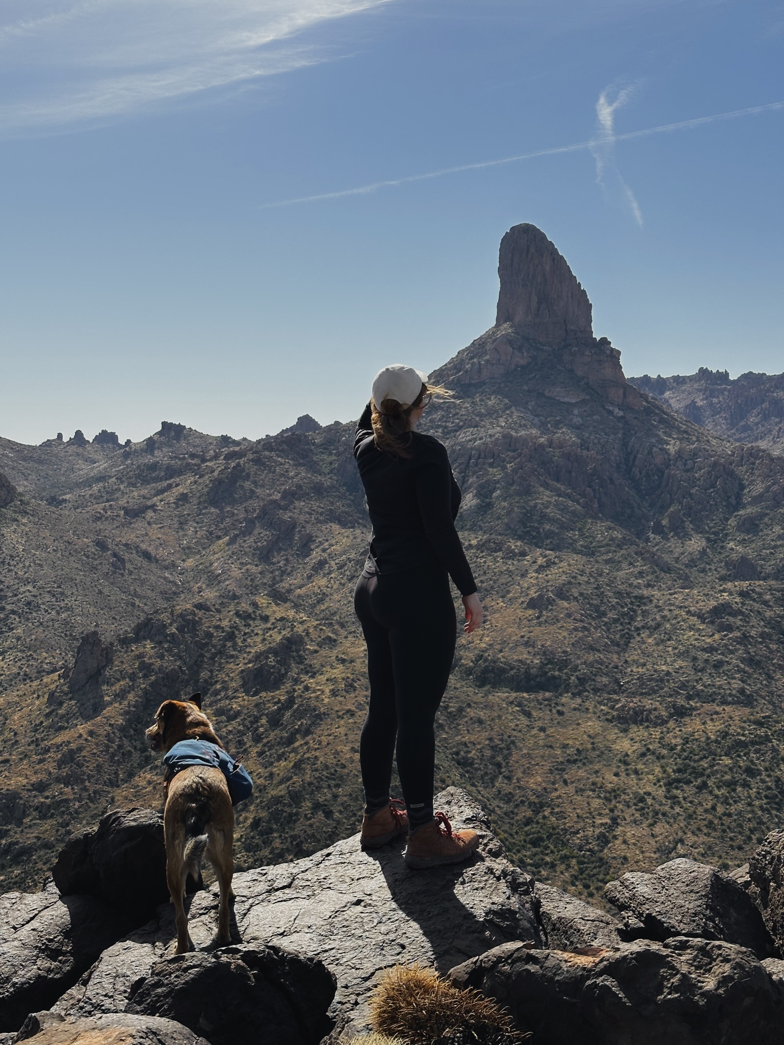
outfit details: dog backpack, my shoes- Danner Mountain
Black Top Mesa is one of the hikes in the Superstition Mountains that packs a punch. If you’re looking to spend most of the day hiking and get a good incline in. This hike ends with views of the iconic “Weaver’s Needle,” but on the complete opposite side of the classic Weaver’s Needle hike, Peralta trail, that we will go over soon! Honestly, this wasn’t my favorite trail in the world, but I wanted to add it to the list. This hike is at the end of First Water road, which doesneed 4WD/high clearance after storms. Other than that, small cars can make it if they go really slow through the washes.
BLACK TOP MESA HIKE STATS
Length: 11.5+ mi
Elevation Change: 1,900 ft
Time: 6-8 hours
READ MY BLOG POST HERE
5. BATTLESHIP MOUNTAIN
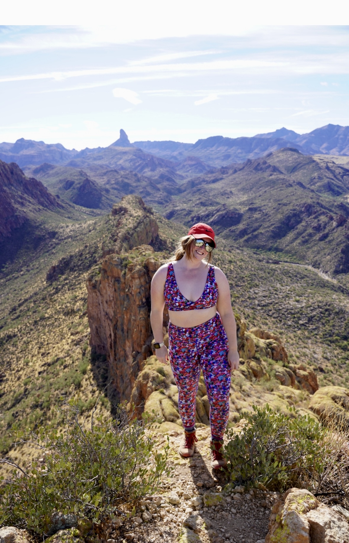
outfit details: set- Senita Winter Garden, use DANIELLEOUTDOORS_ for 15% off, my shoes- Danner Mountain
Battleship Mountain is one of my new favorite hikes in the Superstition Mountains. It is HARD, but it is so rewarding. The beginning of the hike is fine, but once you actually climb up the spine of Battleship Mountain, you’re in for a challenge. You’ll be rock climbing on all 4s with steep cliffs to the side. The views from the top are amazing. I was pretty sore for DAYS after this hike, if I’m being honest. I highly recommend taking a group of friends and doing this in the winter. It’s too long and hot to do in the summer.
BATTLESHIP MOUNTAIN
Length: 11.3+ mi (I logged over 12)
Elevation Change: 1,850 ft
Time: 6-8 hours
READ MY BLOG POST HERE
6. BOULDER CANYON TRAIL
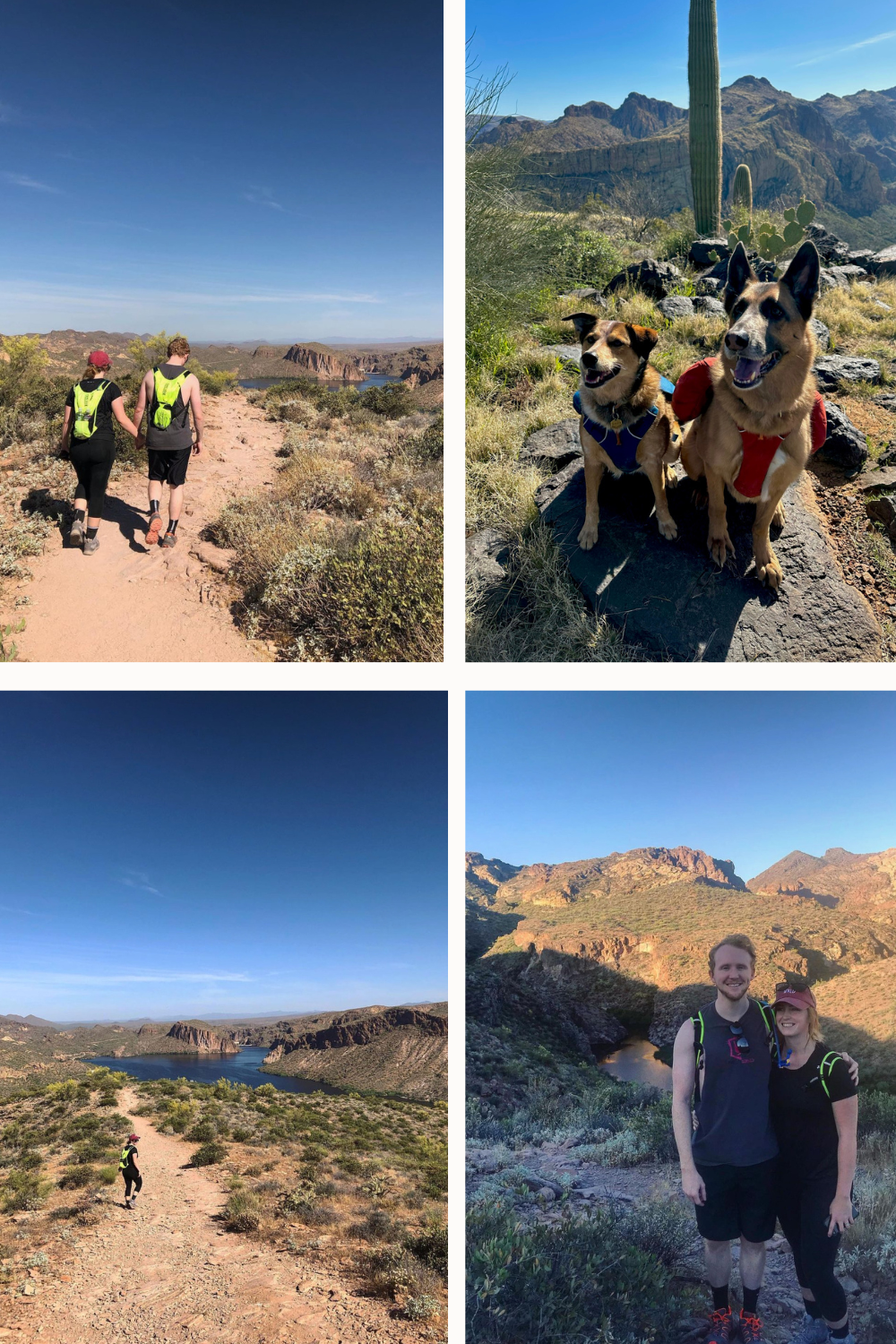
outfit details: camelback lobo backpack
Boulder Canyon Trail is one of my favorite hikes in the Superstition Mountains, I need to go again! I like this trail because you can go as short or long as you want. The hike is over 10 miles, but when I went with friends we only did 4 miles total! It’s not very popular because you have to drive past the Supes and to Canyon Lake (near the Marina) to hike this one. It’s not too hard, and the views are great especially at sunset and sunrise.
BOULDER CANYON TRAIL
Length: 10.2 mi
Elevation Change: 1,965 ft
Time: up to 5 hours
WANT TO SAVE & DOWNLOAD ALL OF THESE HIKES?
I’m sure after reading all of these hikes, you want to go on all of them! But how are you going to remember everything? You won’t.
That’s why I’ve compiled all of this information into a condensed PDF for YOU, to save on your phone for future reference.
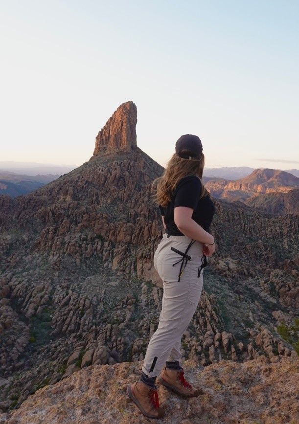
FRONT SIDE HIKES IN THE SUPERSTITION MOUNTAINS
1. TREASURE LOOP TRAIL
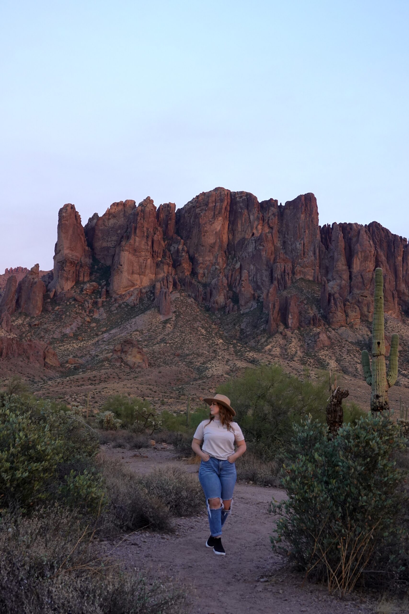
outfit details: Isabel 3.0 Pants, use code DANIELLE20 for 20% off
I love Treasure Loop trail for its length and simplicity. You don’t always want to do a hike that is 10+ miles. This one is short and sweet. If you’re coming from out of state, this is a great intro-to-the-superstitions hike. It’s perfect for sunset photos too, as the sun shines directly onto the face of the mountain. We have taken out of town guests here before too.
BE AWARE- you do need to pay the $7 entry fee into Lost Dutchman State Park to get to this trailhead. You can make the hike longer and avoid a fee by parking on the First Water Road and walking on a connecting trail, but the $7 is worth it to me.
TREASURE LOOP TRAIL
Length: 2.3 mi
Elevation Change: 534 ft
Time: 1-2 hours
2. FLAT IRON
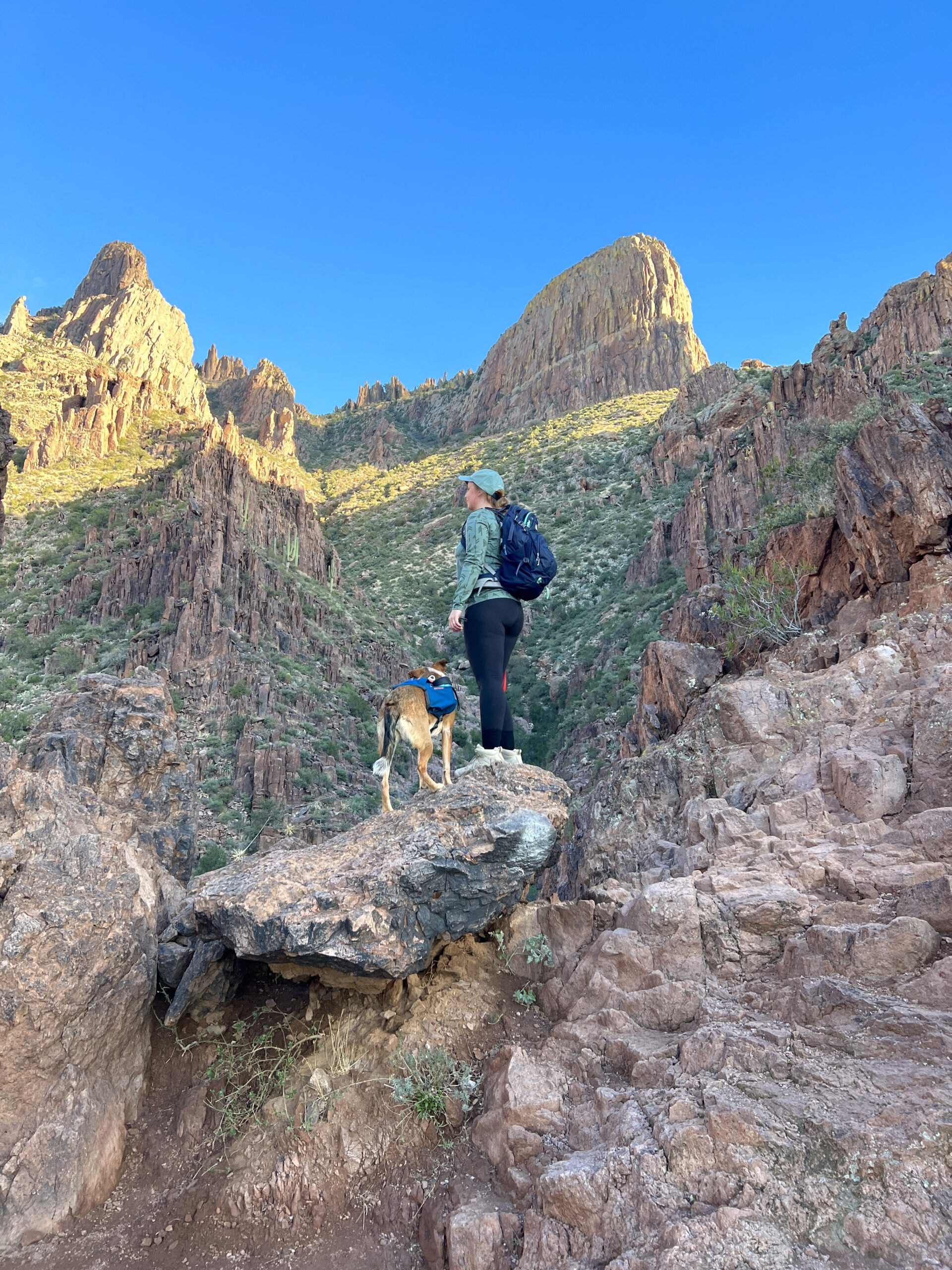
Flat Iron is the shiz. It is DEFINITELY one of the best hikes in the Superstition Mountains. The ultimate hike, in my opinion. It’s iconic. This literal Flat Iron shaped rock jetting out from the rugged range, overlooking the valley. Tallest mountain in the area. The hike up is a challenge, but everyone else helps you and encourages you. The views from the bottom to the top are all 10/10. Totally worth it, again and again. It’s one of my goals to backpack to the top and camp, being able to see the lights of Phoenix at night and experience sunrise up there.
FLAT IRON HIKE STATS
Length: 5.5 mi
Elevation Gain: 2,676 ft
Time: 4-6 hours
Read More: Flat Iron- A Bucket List Hike
3. SUPERSTITION RIDGELINE
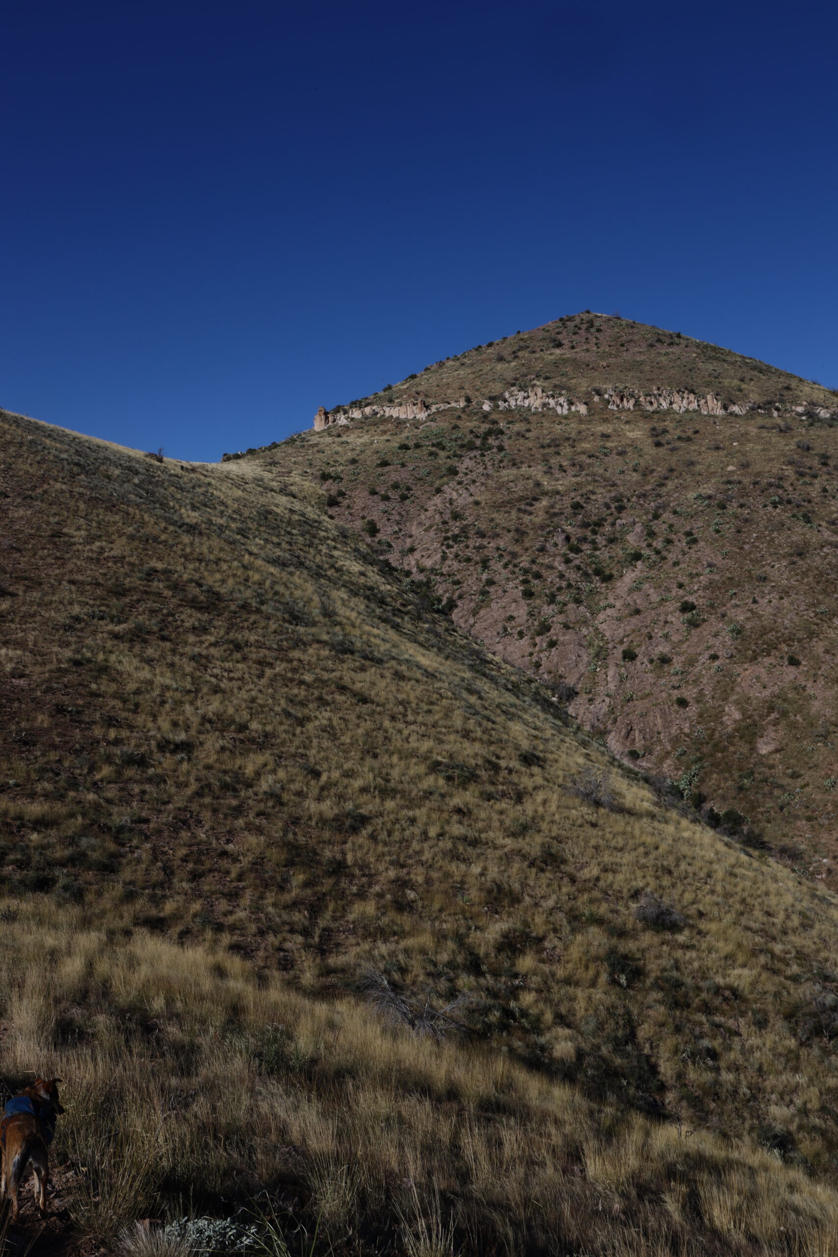
This hike, let me tell you. Such a beast. It goes across the literal ridge/ face of the mountain. Point to point hike. From Carney Springs on the south to the base of Flat Iron/ Siphon Draw. I decided I would go at it alone from Carney Springs to Flat Iron. I got halfway, had such a hard time staying on trail, was hot (in November), had a panic attack, running out of water (had 5 liters), and decided to give up and follow a group back to where I started. It was a whole thing. Had a bad fall on this too. DON’T DO IT unless you are well-trained AND you have a Garmin of some sort to keep you on trail.
I will be attempting this again soon with a group and will keep you updated on how it goes!
4. BROADWAY CAVE
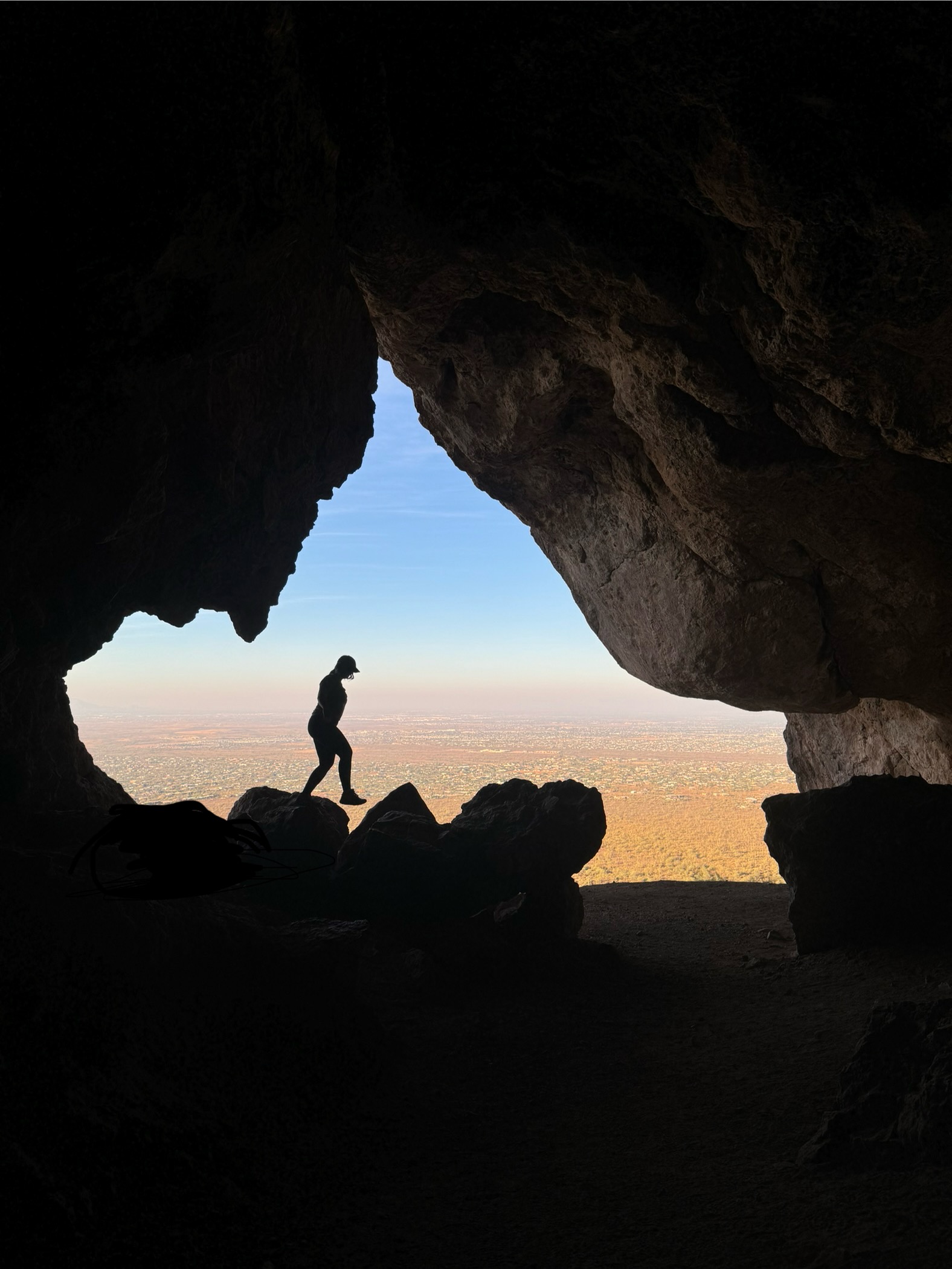
Broadway Cave is a perfect shorter hike. I’ve done this one twice around sunrise and the landscaping is stunning. There’s a significant density of Saguaros in this area. Quickly after starting you’ll be able to see the cave up against the mountains if you look straight ahead. My least favorite part of this hike is that the trail is pretty rocky and narrow, but otherwise I love it!
BROADWAY CAVE HIKE STATS
Length: 3.7 mi
Elevation Gain: 803 ft
Time: 2 hours
SOUTH SIDE HIKES IN THE SUPERSTITION MOUNTAINS
1. HEIROGLYPHIC TRAIL
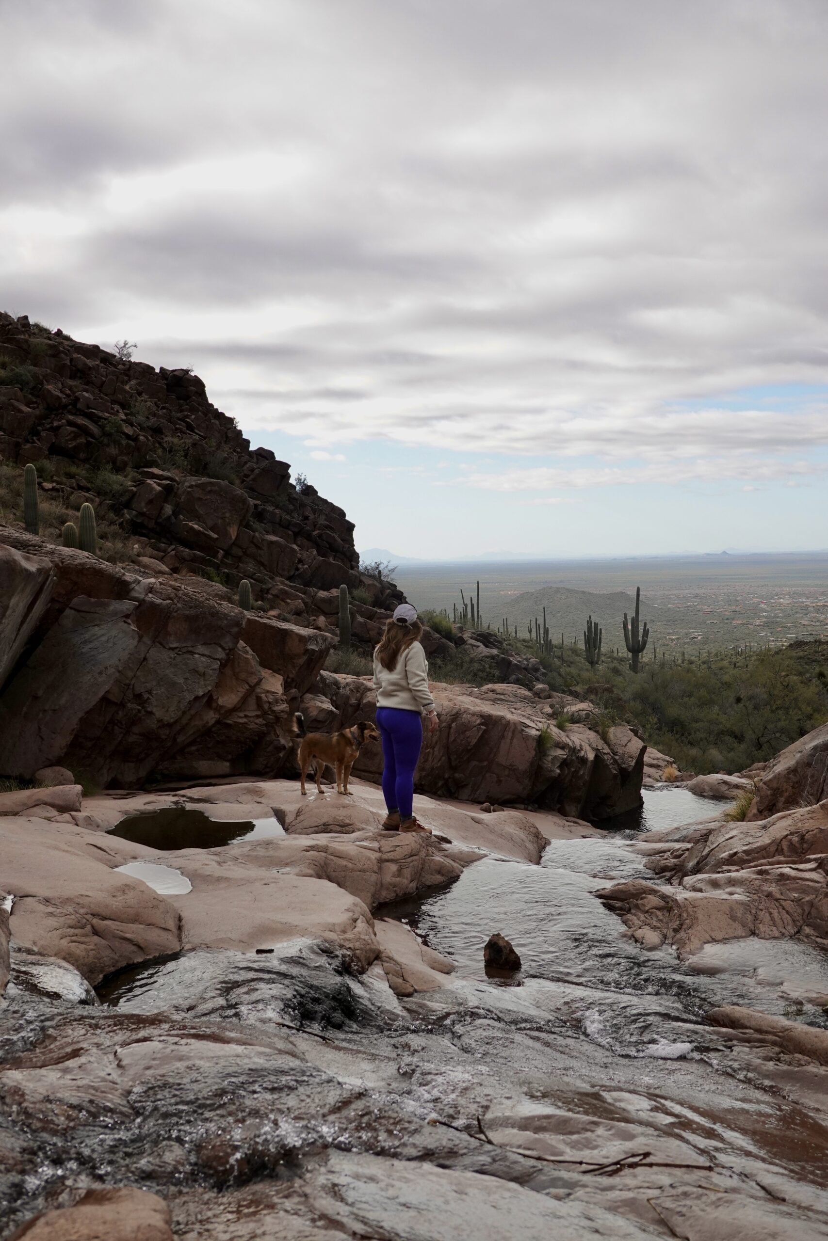
The Heiroglyphic Trail is another great short trail for friends, family, dogs, and kids. This photo may not be the classic Heiroglyphic Trail photo you’ve seen- it’s better known for the cascading pools of water, and the Heiroglyphics. But here’s the thing, unless you go super early, there are too many people to take a worthwhile photo there haha. Beautiful trail, nonetheless. Going on a rainy day would be amazing! I will say, parking is a BEAST on weekends. We circled like pigeons for like 30 minutes.
HEIROGLYPHIC TRAIL
Length: 3.0 mi
Elevation Change: 574 ft
Time: 1-2 hours
2. WEAVER’S NEEDLE

OKAY Weaver’s Needle is actually why I started hiking. Two friends in college took me on one of the most beautiful stormy days. We hiked in the pouring rain and witnessed the most epic rainbow and sunset. 10/10 would do again in those conditions. Since then, I’ve done it another 5 times. I’ve even backpacked up there. This is a must too.
WEAVER’S NEEDLE HIKE STATS
Length: 4.6 mi
Elevation Gain: 1,341 ft
Time: 3-4 hours
Read More: Hiking Weaver’s Needle
3. THE WAVE CAVE
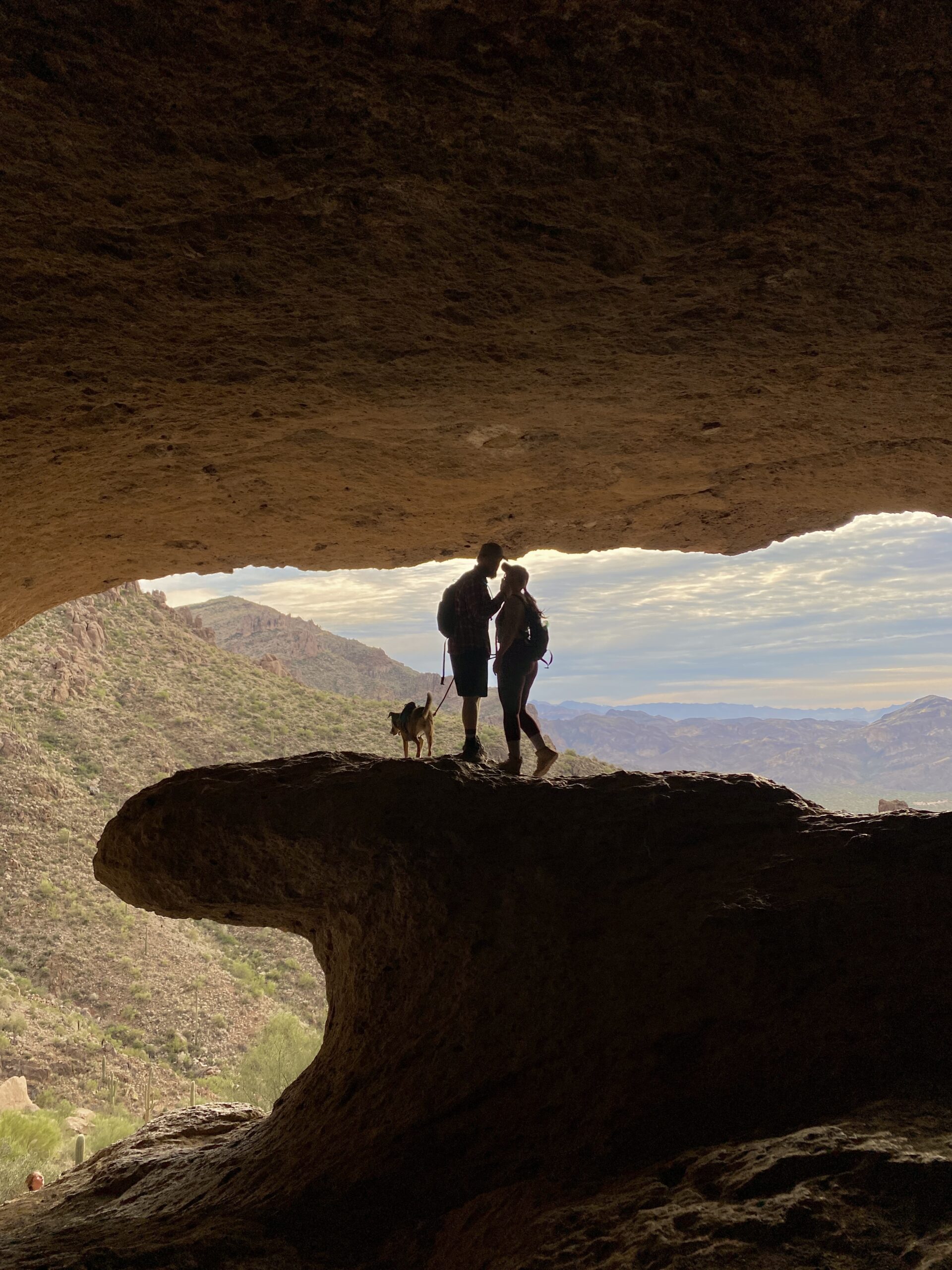
Caves are very popular hikes in the Superstitions these days. Broadway Cave is awesome, and so is the Wave Cave. Not to be confused with the Wind Cave in Usery Mountain Regional Park. This is a great shorter hike. The cave is surprisingly large! The hike up to it is steep, but worth it! The cave is beauitful looking outward, and it does look like a wave. Be aware of others and don’t take forever to take photos, haha.
WAVE CAVE TRAIL
Length: 3.0 mi
Elevation Change: 869 ft
Time: 2-3 hours
FINAL THOUGHTS ABOUT HIKES IN THE SUPERSTITION MOUNTAINS
I hope you can see my love for the desert in this post. Page and the surrounding areas are just so different and so special from everywhere else. The native culture, the red rock, the plant life, the cacti, etc. I feel so blessed to live within a few hours of these magical places. I hope this inspires your next trip to the Arizona- Utah border. PLEASE SHARE WITH FRIENDS!
