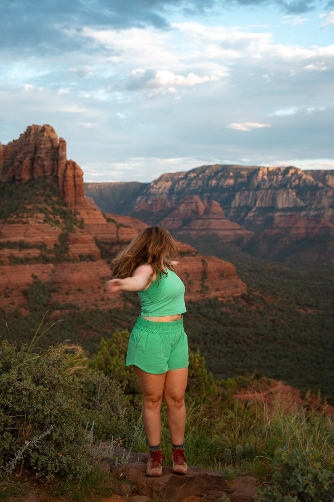
The Schnebly Hill Windows: Hidden Caves in Sedona
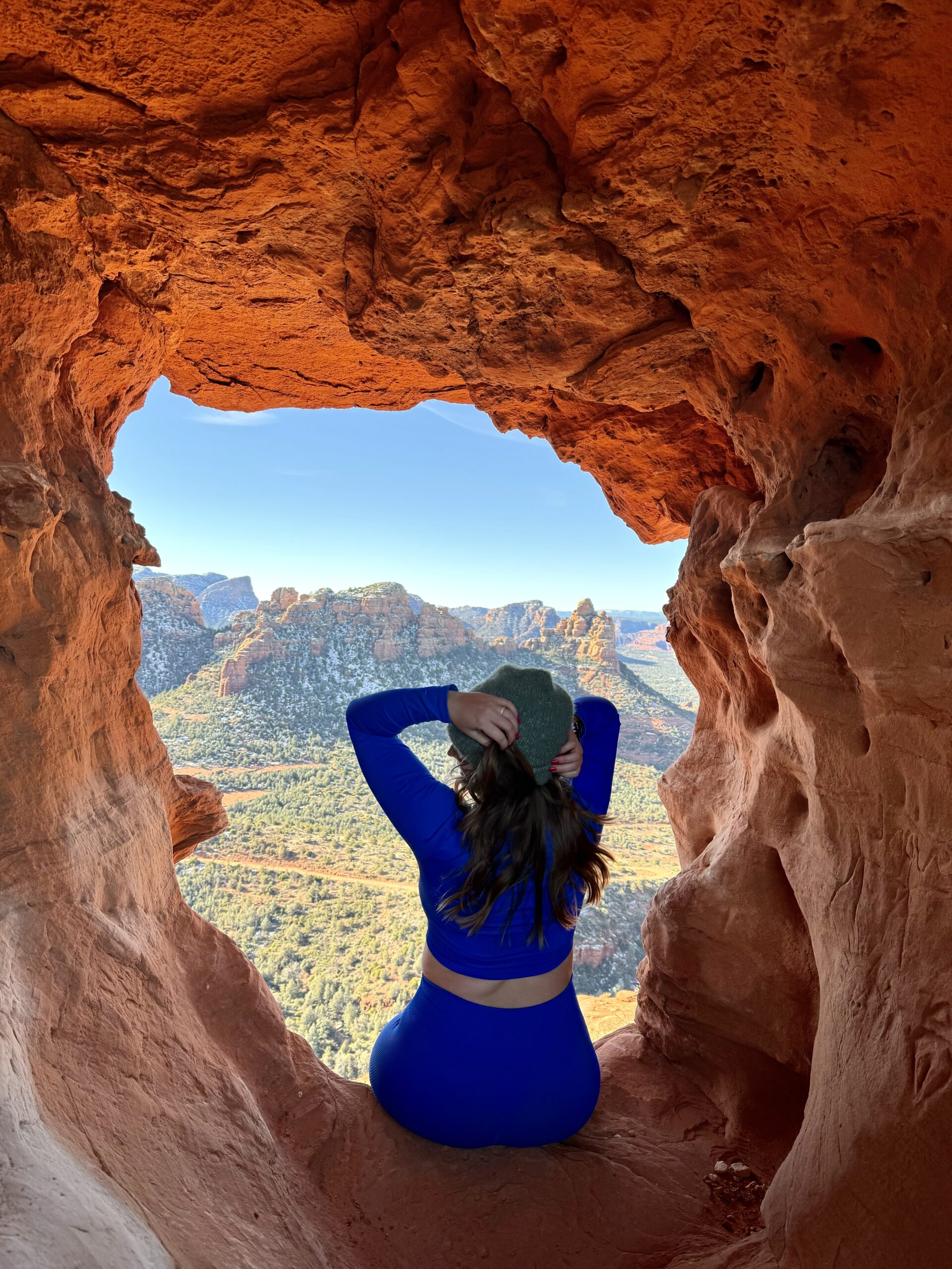
If you’re here, I’m going to assume you’ve heard of or seen photos of the Schnebly Hill Windows, or Hangover Trail caves. I feel you, I’ve been there. The trouble is, no one wants to share how to get there. Stick around and I’ll help you find this beautiful Sedona feature SAFELY.
Disclaimer: This post does contain affiliate links, at no cost to you. If you feel like supporting me, this is a great way to do so!
A NOTE ABOUT GEOTAGGING
Before we get into the location details, I wanted to briefly talk about the topic of GEOTAGGING vs. GATEKEEPING. Geotagging simply refers to tagging specific locations online. People who are against geotagging want to preserve and protect the land and limit visitation to what the area can handle. Gatekeeping would be the opposite- avoiding tagging locations or not sharing locations to keep others away from a location. People who are against gatekeeping believe the outdoors is for all, and we all should be able to equally access resources.
It is a very controversial topic these days. There is good and bad about each side. I personally like geotagging. Most of the places I’ve been in my life living in Arizona was because of social media. I want to share that joy with others, and like giving directions so people find it safely. If you don’t agree with me, that is OK. There is room for all of us to coexist. All of our opinions have validity. Life is full of GRAY AREAS. No matter what, please Leave No Trace.
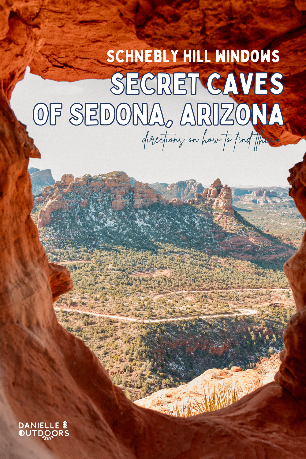
WHERE ARE THE SCHNEBLY HLL WINDOWS?
Yes, that is the question. Add it can’t be answered in a sentence, so we will dive into it. I’m going to give you photos, 2D and 3D maps to help guide you so you can enjoy the outdoors and stay safe! Here is a google map showing the trailhead location, approximate cave location, and trail.
Time to Budget for This Hike
It’s hard to answer this because everyone has a different pace AND you can do this hike from multiple starting points, but for 90% of people reading this, I would budget 3 hours average for this hike. We took 2 hr 41 minutes, and were not rushed!
Need a Pre-Hike Coffee?
Read More: Best Coffee Shops in Sedona
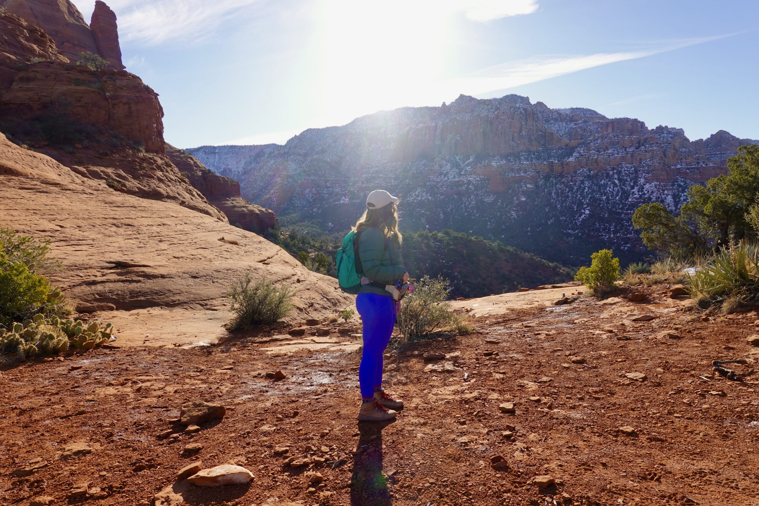
Where to Park To Find The Schnebly Hill Windows
There are TWO main starting spots I’m going to talk about today. One is if you do NOT have a 4×4 high-clearance vehicle. One is if you do!
ONE- You can park at the Munds Wagon Trailhead on Schnebly Hill Road. This is right where the paved road ends. If you don’t know, Schnebly Hill is an 11 mile road connecting Sedona to Flagstaff off the I-17. It is very rugged.
TWO- You can park near the junction of Munds Wagon- Hangover Trail, which gets you 1.5 miles closer to the destination. You NEED 4×4 and high clearance to get here.
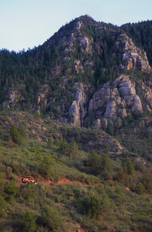
Jeep Tour on Schnebly Hill Road.
Curious About Jeep Tours in Sedona?
Schnebly Hill Road is also a popular Jeep Tour destination. If you don’t have a 4×4, it’s a great way to explore this area in Sedona. This way, you can see amazing things like Merry-Go-Round Rock too!
How to Find Schnebly Hill Windows from Munds Wagon Trail
Once you start on Munds Wagon Trail from the parking lot, you have about 1.5 mi until the trail junction. This trail winds along the canyon (if there has been recent rain you’ll hear water the whole time) and along Schnebly Hill road, even crossing it a few times.
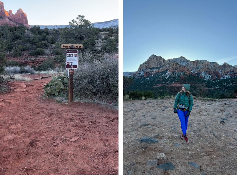
Left: Munds Wagon Trailhead. Right: Me standing on Schnebly Hill Road where the trail crosses.
This next detail is IMPORTANT. Listen Up!
You can actually see the caves from the beginning of the trail. I wrote this down before hiking and I didn’t realize how helpful it would be. When looking to your LEFT (if you’re looking at the trailhead sign), you’ll see the below photo. You can see a cave on the West side and Proboscis Arch on the East side. This helps orient you througout the hike, otherwise I would have had no idea where the social trail was or how to get to the Schnebly Hill Windows.
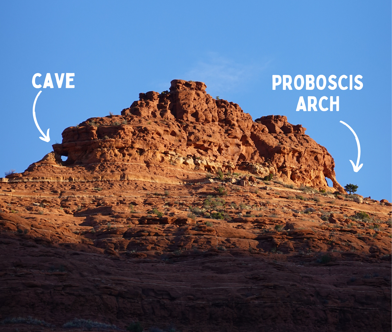
View of the Schnebly Hill Windows looking northeast from the trailhead.
I also went on Google Earth and attached a few photos below for you to look at from different vantage points/ distances. Please note- I did not find all of the caves up there. Safety is always first. But I found the arch and one of the iconic caves, so that is what I will be going over.
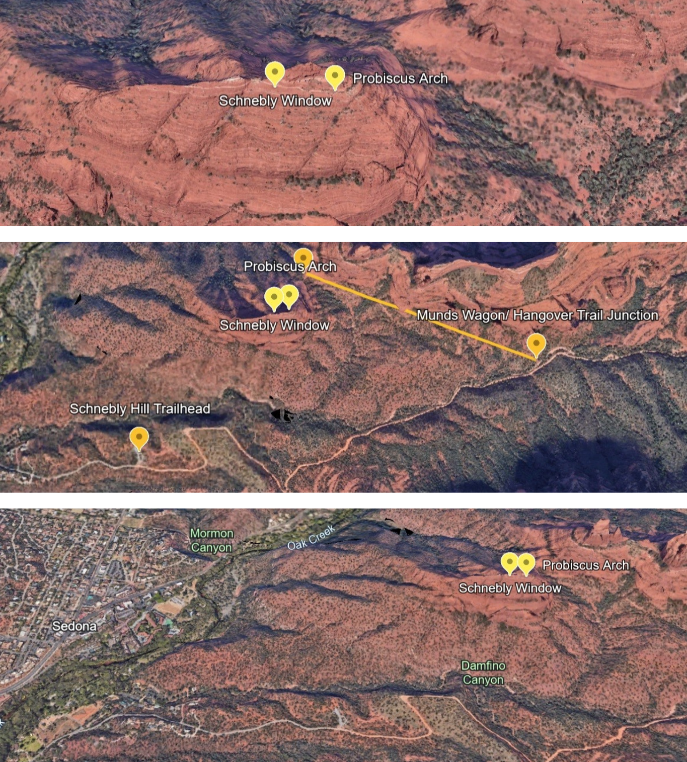
Google Earth Photos of the area. Note- It is Proboscis Arch, misspelled here.
Interested in Other Sedona Caves?
Here are another few amazing trails to add to your list!
Munds Wagon – Hangover Trail Junction
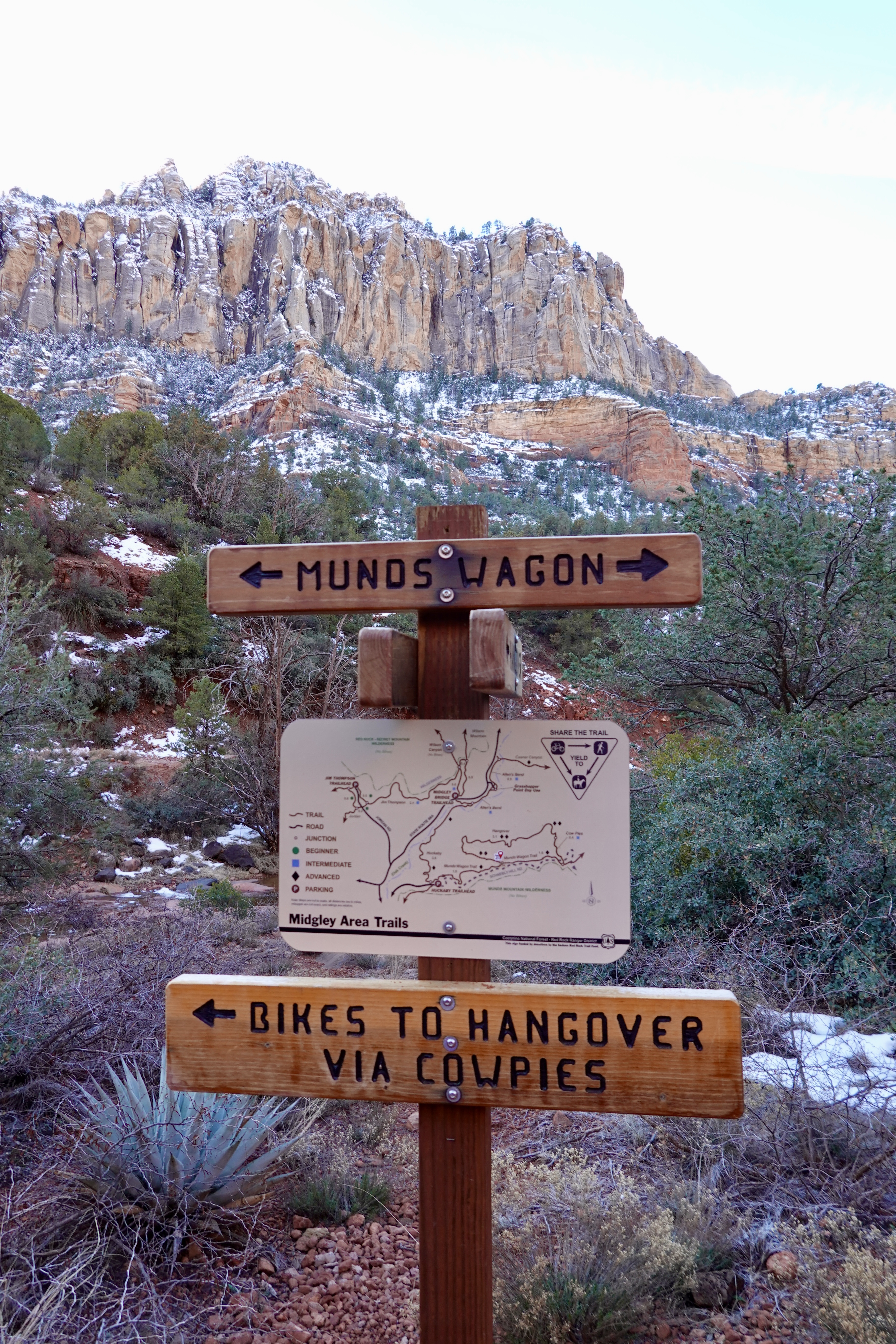
Munds Wagon-Hangover trail sign, looking south towards Schnebly Hill Road
After you start climbing up on the Hangover Trail, you will go about 1-1.1 mile and 300 ft elevation gain. It’s a bit of an incline, but not too bad. The trail curves through trees and along rock walls. It is beautiful. At the 1.1 mile point, there will be a small social trail to the LEFT (use the photo below for reference). If you’re looking north at this view, you should turn left.
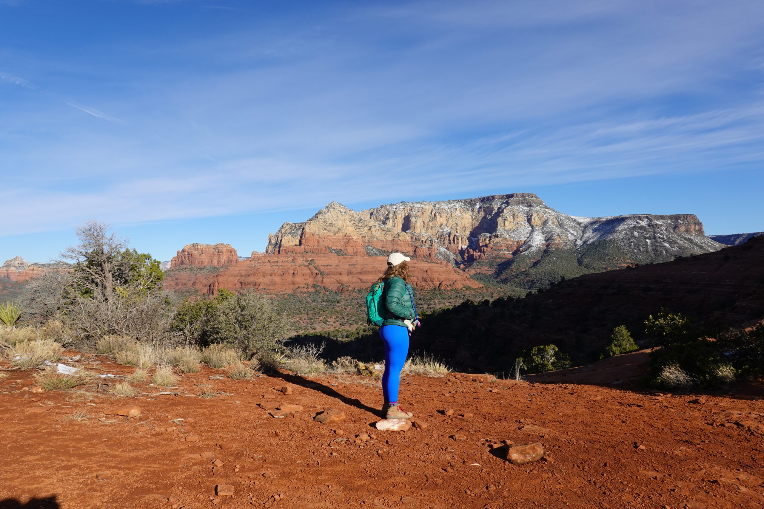
When you see this view, you know you need to turn left to the social trail.
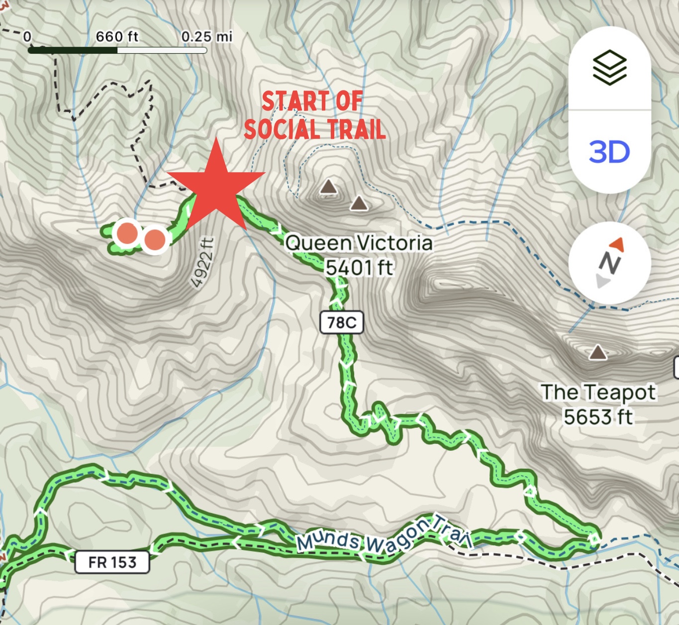
AllTrails map that we took, pointing out social trail.
Social Trail to Caves
Let’s go over a few safety things first. Don’t do this scramble 1-2 days after rain to avoid slick rocks. Climb with sturdy shoes (not gym sneakers). Have a first aid kit with you. Have a map, physical and electronic. Leave no trace (don’t leave trash, etc). Lastly, trust your gut. If you feel unsafe, don’t do it. This area is steep.
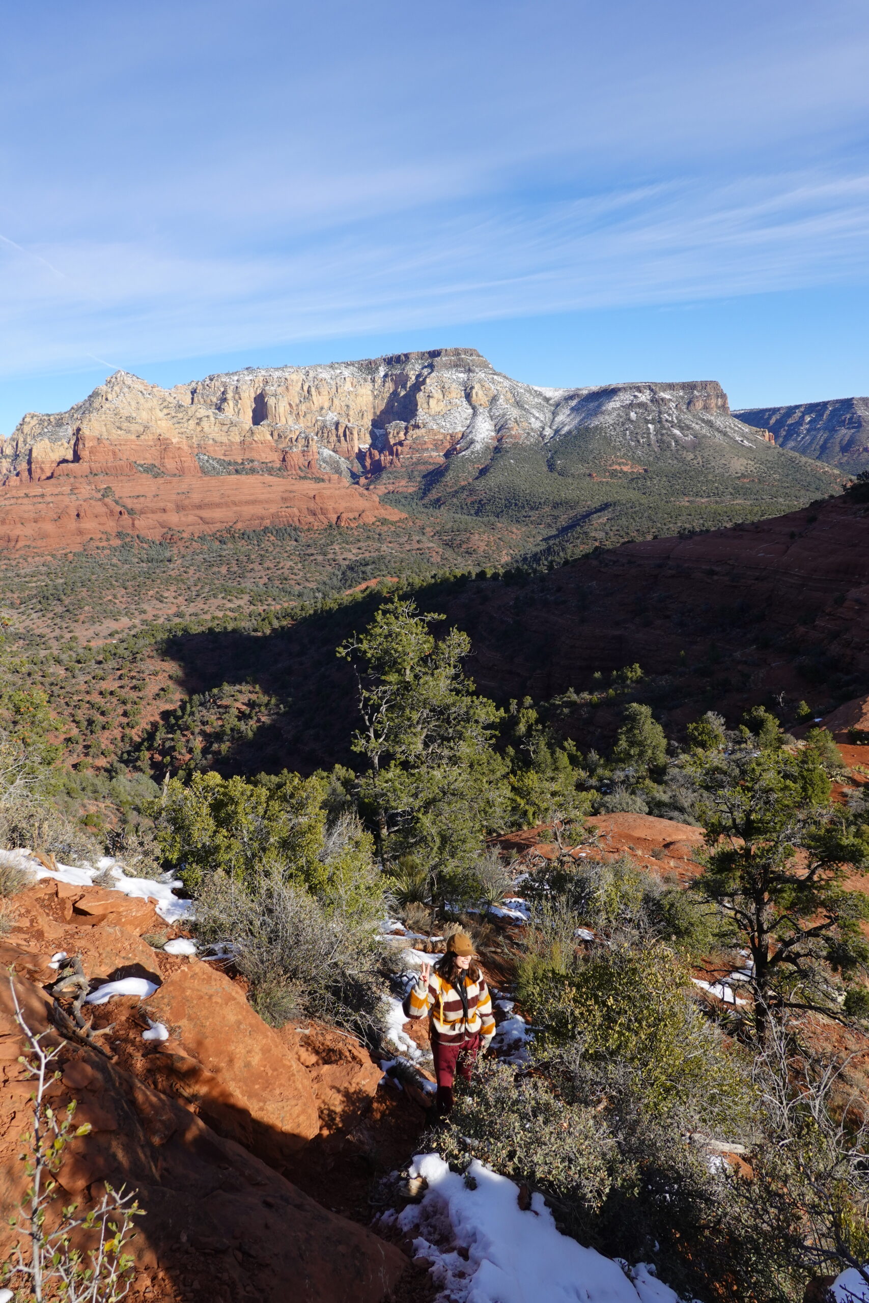
The Destination: Schnebly Hill Windows
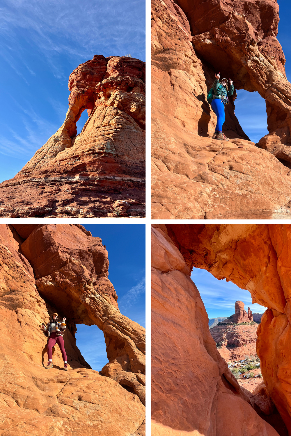
The first thing you will reach is Proboscis Arch. It is stunning. Has amazing views in all directions. Only one person can fit in it at once, take turns taking photos! If you remember seeing the inital photo, the arch and the other cave are on the same rock. When you walk around to the other unnamed cave, walk around the south side.
Proboscis Arch
Second Cave
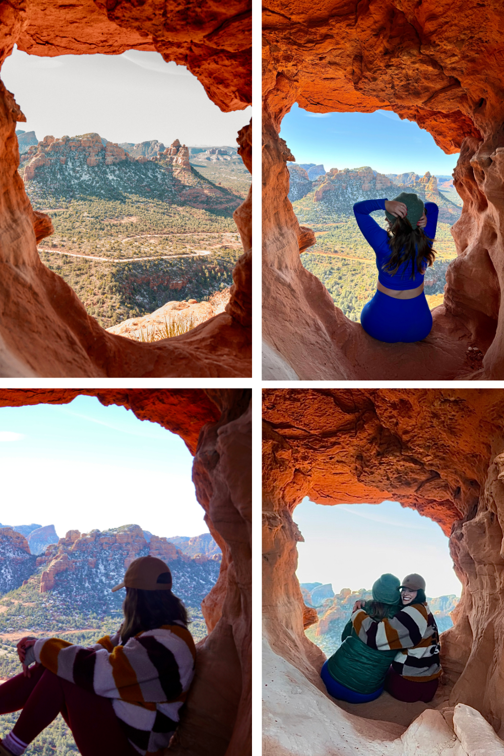
This unnamed cave is one of the iconic caves when you think “Schnebly Hill Windows.” Be careful and walk around the south side of the butte to get to this cave. At the end of the rock, look backwards and you’ll see a small window. Climb through that, and then you’ll see a larger cave. I needed my friends help hopping up there, but once you get in, it’s beautiful!
Other Caves
There are some other “windows” that I’ve seen photos with, but this one (I could have turned around and take a photo as well, and taken a photo of the small window I climbed through to get here) is the main cave. There are apparently 6, ut I saw 4. Theres another butte more West, but its not a closed window and it’s sketchy, don’t climb it. Always safety first.
Final Thoughts About The Schnebly Hill Windows/ Hangover Caves
Overall, this trail was really fun. Some sites said it would take 6+ hours, so I was pleasantly surprised it only took 3. The windows are beautiful. They’d look even better at sunset, but I don’t suggest trying to climb a steep area in the dark. The first time hiking, I suggest doing it during daytime.
PLEASE BE RESPECTFUL AND LEAVE NO TRACE.
NEED SOMEWHERE TO CAMP??
I’ve created a FORTY PAGE GUIDE outlining all the best free and paid campsites in Northern Arizona, including Sedona.
It can be hard to spend hours researching campsites, trying to figure out were they’re located, what they look like, the price, and the amenities. With my guide, those days are over! I give you everything you need to know, with links to my Google Maps AND it’s in a PDF so you can access it any time!
