Blue Ridge Reservoir in Arizona: A Must Visit in Summer!
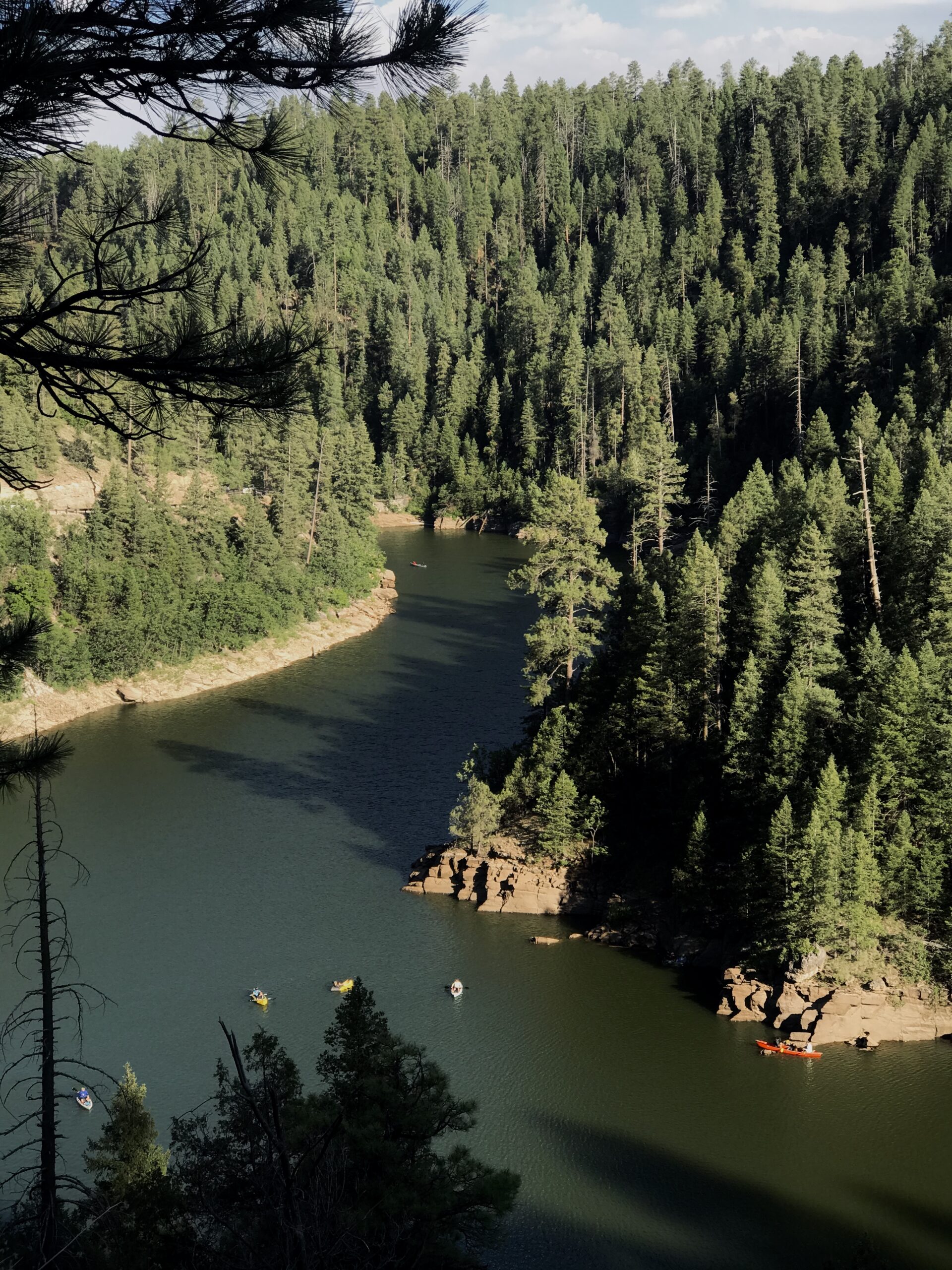
Do you know why I love Arizona? I know people say “we don’t have seasons,” but we totally do! I love that we can enjoy desert hikes and cooler weather in Phoenix, and then shift to enjoying the foresty Northern Arizona region from Memorial to Labor Day. Camping, kayaking, enjoying campfires (if above), etc. Blue Ridge Reservoir is a PERFECT spot to enjoy some summer fun- there is so much to do there!
This post contains affiliate links that I do profit from, if you choose to support my business. These links are at no cost to you.
What Is There to Do at Blue Ridge Reservoir?
At Blue Ridge Reservoir, you can kayak, paddleboard, cliff jump/swim, hike, camp, drive off-road, and more. There is so much to do!! You won’t get bored here, I promise. It is not OVERLY well known either, so it’s not terribly cramped. So many places you can go to get away from crowds and have some peace and quiet.
Where Is Blue Ridge Reservoir?
No Permits or Fees are Required all year round. Most people hike from May-October. I went in June, I believe. Keep in mind, it is HOT (usually 10-15 degrees less than Phoenix, but still hot) so you need to be smart, because a 3.5 mile hike in is decently long. I would suggest April-May or October-November. If you’re going to go June-August, go at sunrise or sunset.
What Time Is Best Time to Visit
Time of the year
Blue Ridge Reservoir is NOT open year-round. It is open from Memorial Day to mid-fall, weather dependent. The forest service website will give you updates on current conditions and whether it is open or not.
Time of the Day
The road to Blue Ridge Reservoir is open all day. As we will discuss, you can camp in this area, and you’re able to go in and out. If you’re visiting for DAY USE, I sugget visiting EARLY. Once I visited late morning and there was a LONG line to get into the parking area and water launch, as it gets cramped). It would also be a great are to visit for sunset.
I’ve Created a FREE Summer Gear guide for you!
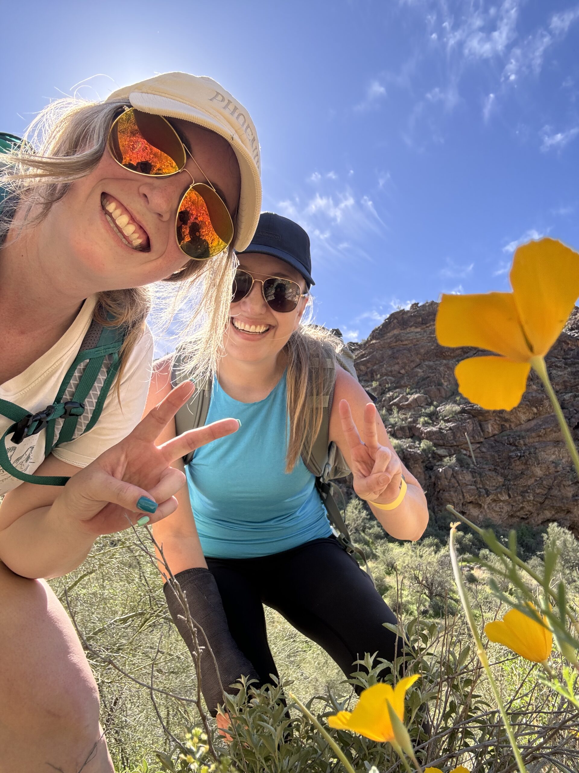
Wanting to upgrade your hiking gear/outfits? I’ve been working on creating COLORFUL, functional, and minimal weight outfits to maximize my comfort! Download my free guide with links!
Lay of the Land
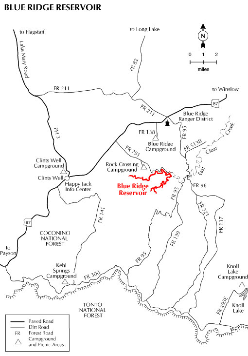
Let’s first get a lay of the land. An understanding of where Blue Ridge is with reference to the highway, the dirt roads you need to navigate, parking, etc. Below is a map from the Forest Service. BRR (Blue Ridge Reservoir) is 2 hr and 24 minutes from Phoenix, 41 minutes from Strawberry, and 1 hr 22 minutes from Flagstaff, AZ. It winds 8 miles through the forest.
Directions from the Highway
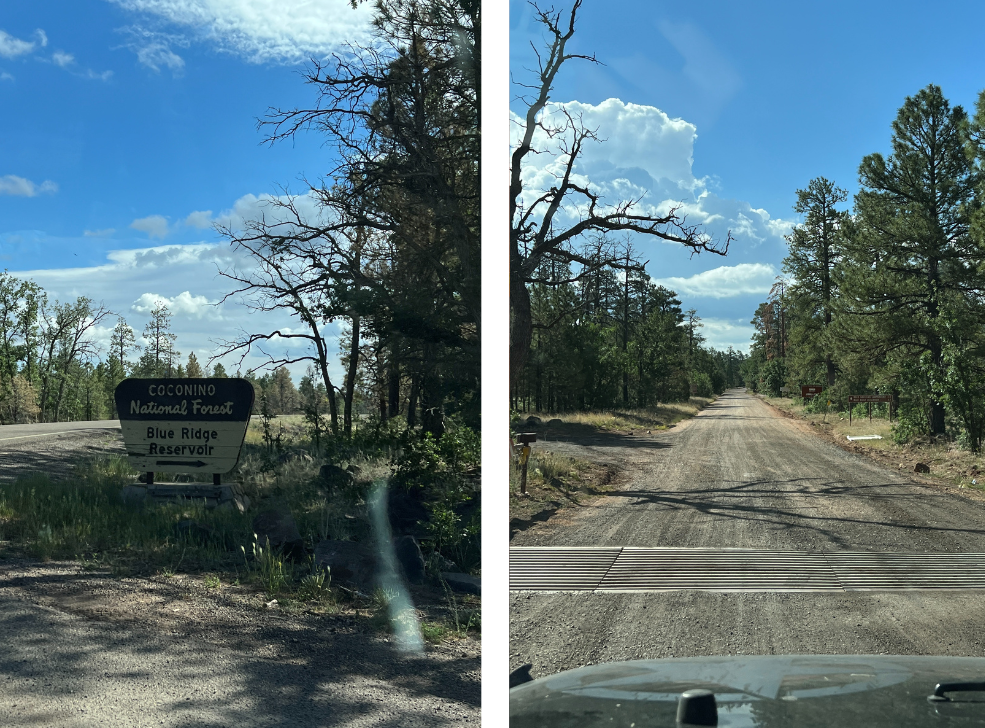
The turn-off to BRR is just past MILE MARKER 295, to the right if you’re going north from Strawberry, AZ. As you can see from the photo, there is a sign showing you where to go! There aren’t many distracting side roads, or fork in the roads, either. You will drive 6 miles on a dirt road (I’m able to drive 30-40 in my Jeep Wrangler) to get to the boat launch. It is not too rough of a road, but it is subject to weather, of course. Sedans can make it, but mid-size cars are best.
Distance Between Everything
As you may notice, most people are wearing sandals for the hike. I love wearing my sandals for water hikes, but hiking 7 miles in them is a bit long for me, and after being wet can cause blisters. I prefer to hike in trail runners and dry socks, change into sandals for swimming, and then put shoes back on.
Things to do at Blue Ridge Reservoir
Kayaking/SUP
Kayaking/Paddleboarding is one of my favorite things to do at Blue Ridge Reservoir. I feel like you can’t totally appreciate it’s beauty unless you explore in areas your car can’t get you to.
Keep in mind- there are NO VENDORS at blue ridge. You cannot rent anything onsite. One option is to bring your open SUP/kayaks up, otherwise you could rent for 1-2 days from Payson- try Rim Country Recreation if you want to go this route. This is what we did when we were with my husbands 12 person family- they gave us a trailer to tow them as well.
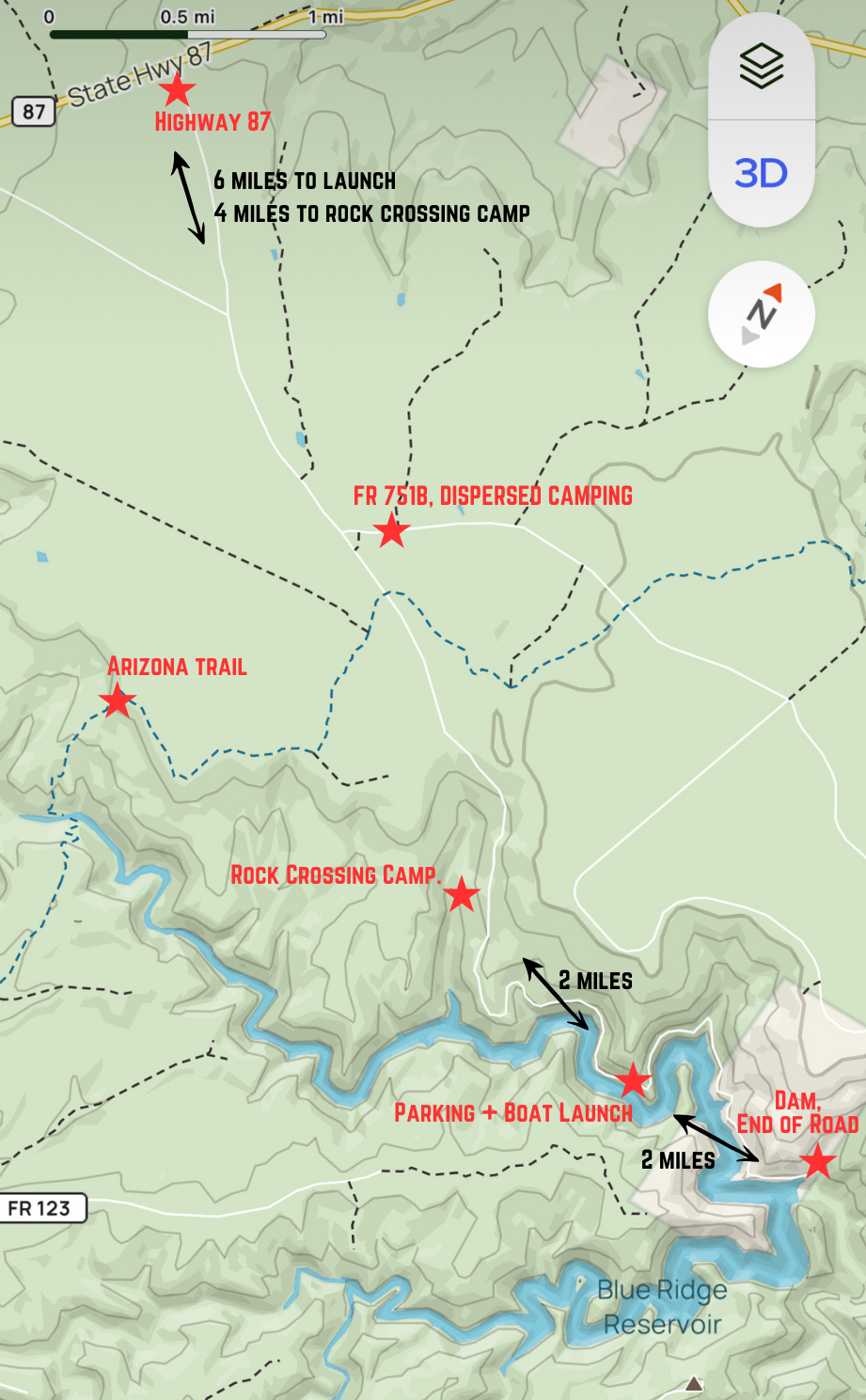
The launch (no one launches boats- just SUP, kayaks, canoes, etc) is marked in the photo above- it’ll be obvious when you are there. After launching, you drive up the hill to park. You can go in either direction. Remember I mentioned that BRR is 8 miles long, so you can go approx. 4 miles in either direction.
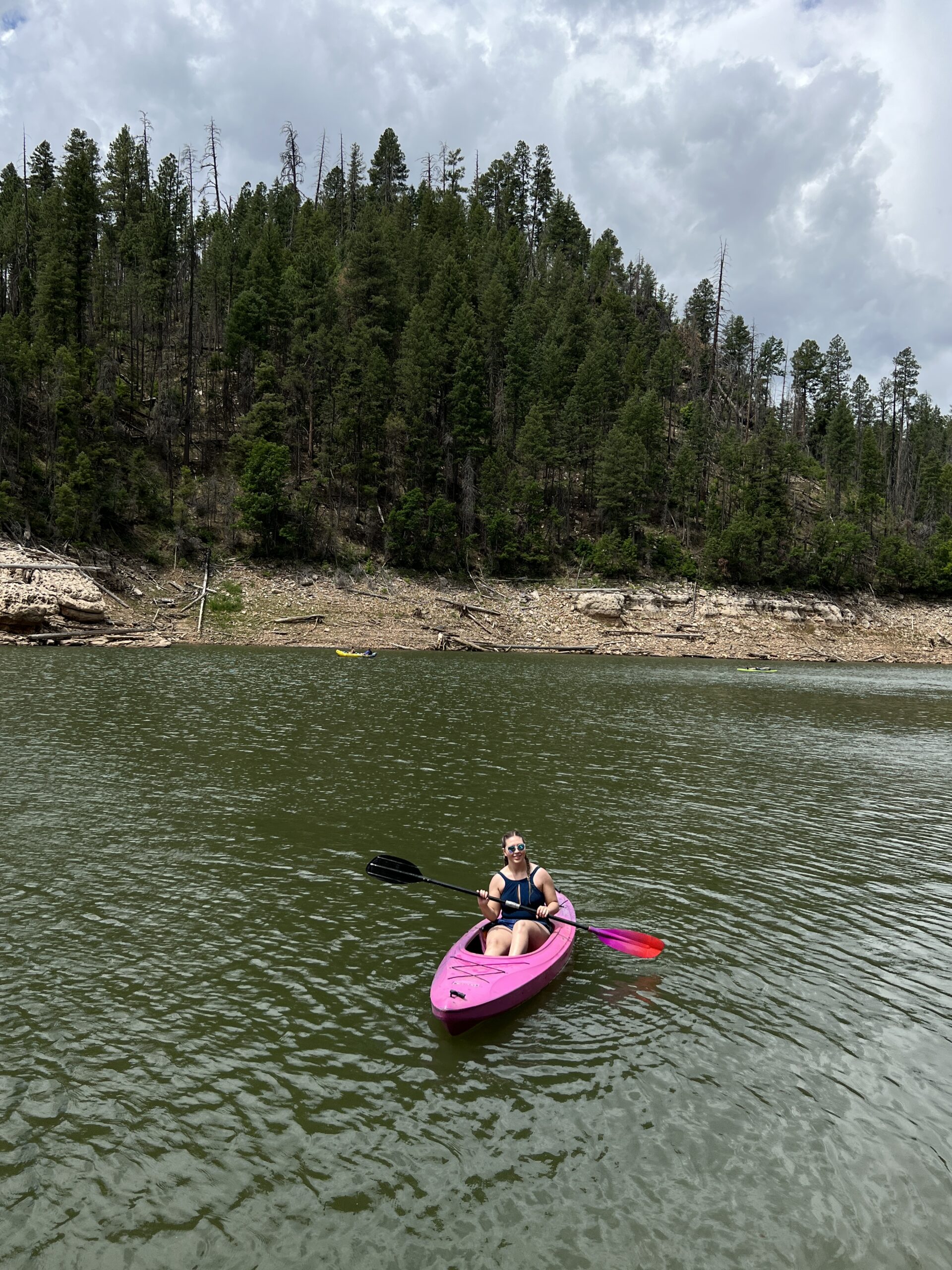
my sister-in-law on a kayak on BRR
Swimming/Cliff Jumping
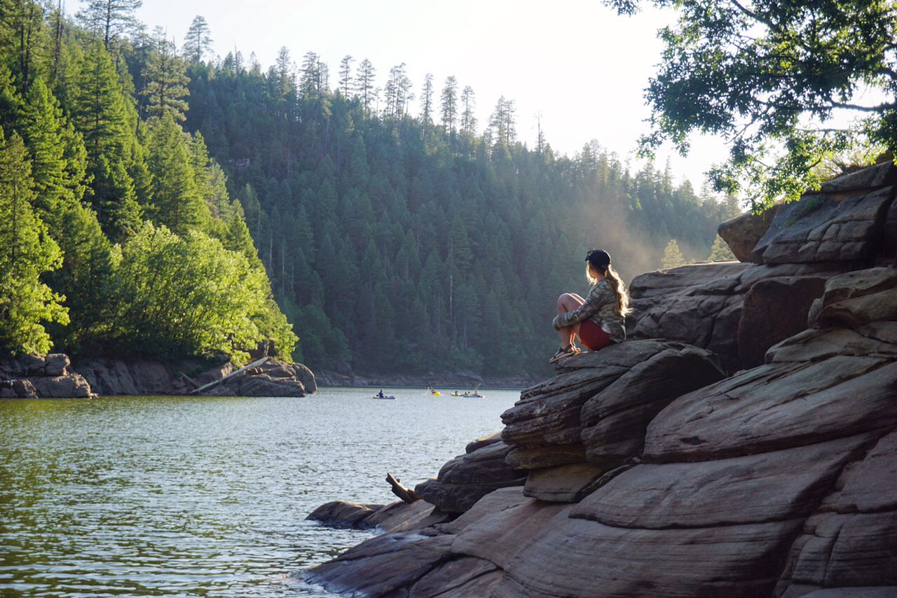
There are some great mild to moderate cliff jumping spots that you can kayak or SUP to- which is what we did last time! If you do not have water equipment, you can swim around the boat launch OR there is a short trail you can access from the parking lot. The trail is right next to the bathroom and it is pretty steep down, but managable. Only a few hundred feet if that. It leads you to beautiful, large, flat rocks that are perfect to lay on or jump off to swim. We went at golden hour and it was absolutely beautiful.

enjoying golden hour on blue ridge reservoir
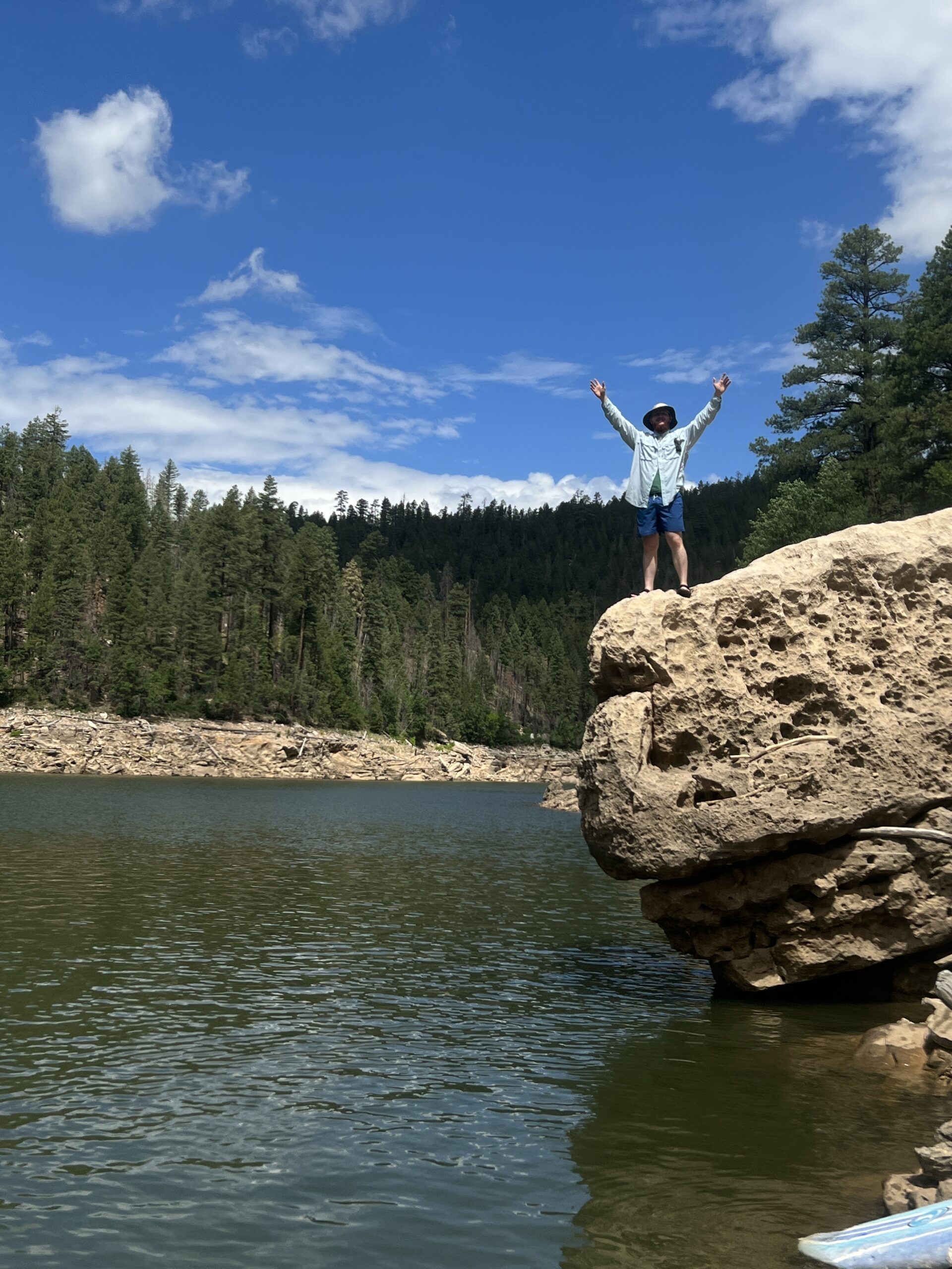
cliff jumping at blue ridge reservoir
OHV/ Off-Roading
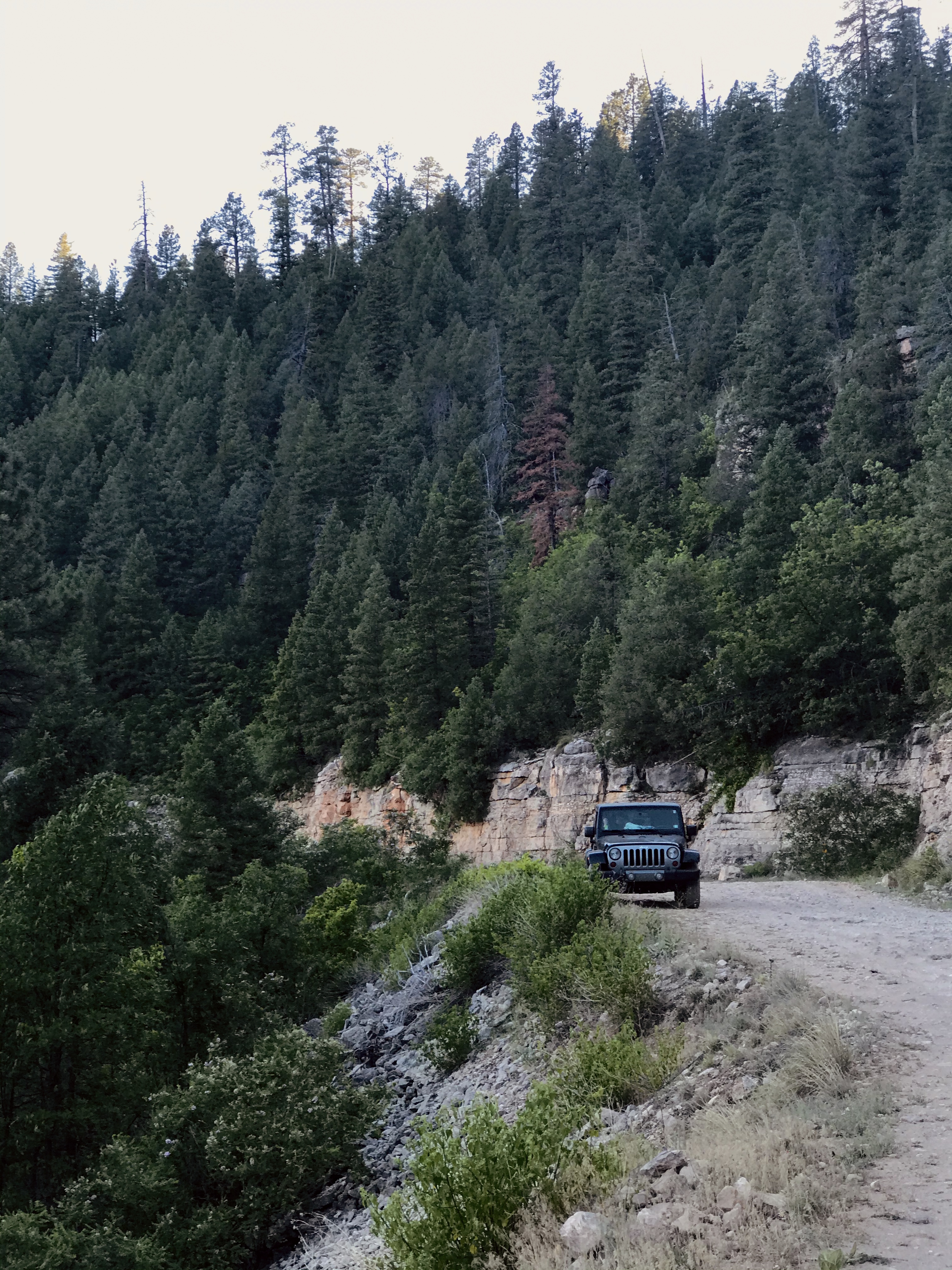
The first option for off-roading includes the network of dirt roads starting from FR 751B. You can do dispersed camping off this trail, but you can also just go for a drive. It connects to the highway closer to Happy Jack, connects to a fire lookout, etc. Drive around and enjoy! This turn off will be to the left after you turn off the highway and drive a short bit (there is a large board that notates the road).
There is also 2 miles of a dirt road PAST the boat launch, which most people choose not to go on. You do need a high clearance (even better if 4×4) to go back here. This stops at the BRR Dam, which was beautiful and there is signage in the area. You can stop anywhere on this road and take some photos. All of the photos below were taken on that road. I loved it!
Safety Tip: There’s Limited Phone Service
ALWAYS have a way of communicating with people where you are in case something were to happen. I carry with me and use a Garmin InReach Mini 2 to communicate with people at home. You can also call SOS in an emergency. 100% worth the investment.
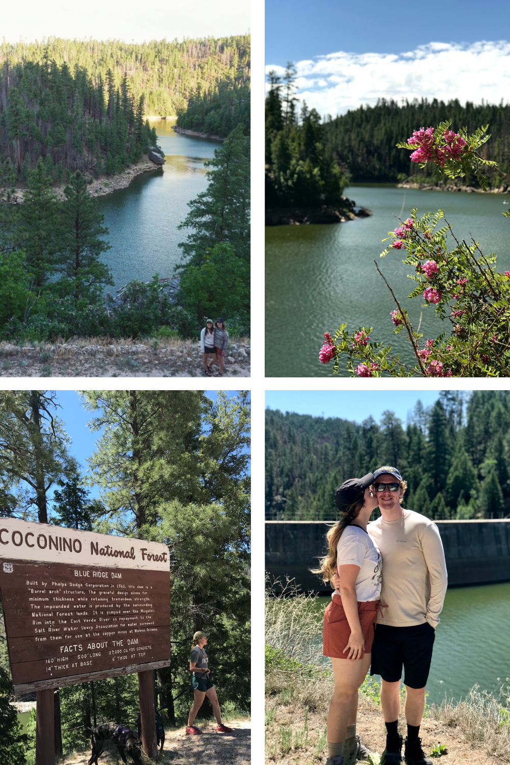
Hiking at Blue Ridge Reservoir
Here’s my hot take on hiking near Blue Ridge Reservoir. Don’t specifically come out of your way to hike in this area. Also, if you plan a day trip here to enjoy the water, kayak, swim, etc.. you really don’t need to hike- you’ve already seen the most beautiful area. Where I think it’s nice is if you’re camping for 2+ days and you want to get some exercise and move your legs- then go for a hike. That’s what we did on our first trip there!
1st Hike Option: Arizona Trail
The Arizona Trail is an 800-mile through hike that connects Mexico to Utah, so spanning the whole South-North of the state. It’s wild. It does wind right past BRR, so you can enjoy part of it. Side note- I highly suggest reading THIS BOOK about a girl’s experience hiking the Arizona Trail- it was an AMAZING READ.
We did dispersed camping off FR 751B (will discuss below) and we were right across from one of the AZ trail gates. There’s no specific length of time you need to go since it’s a through hike. We went until we saw views on top of the Mogollon Rim, and went back.
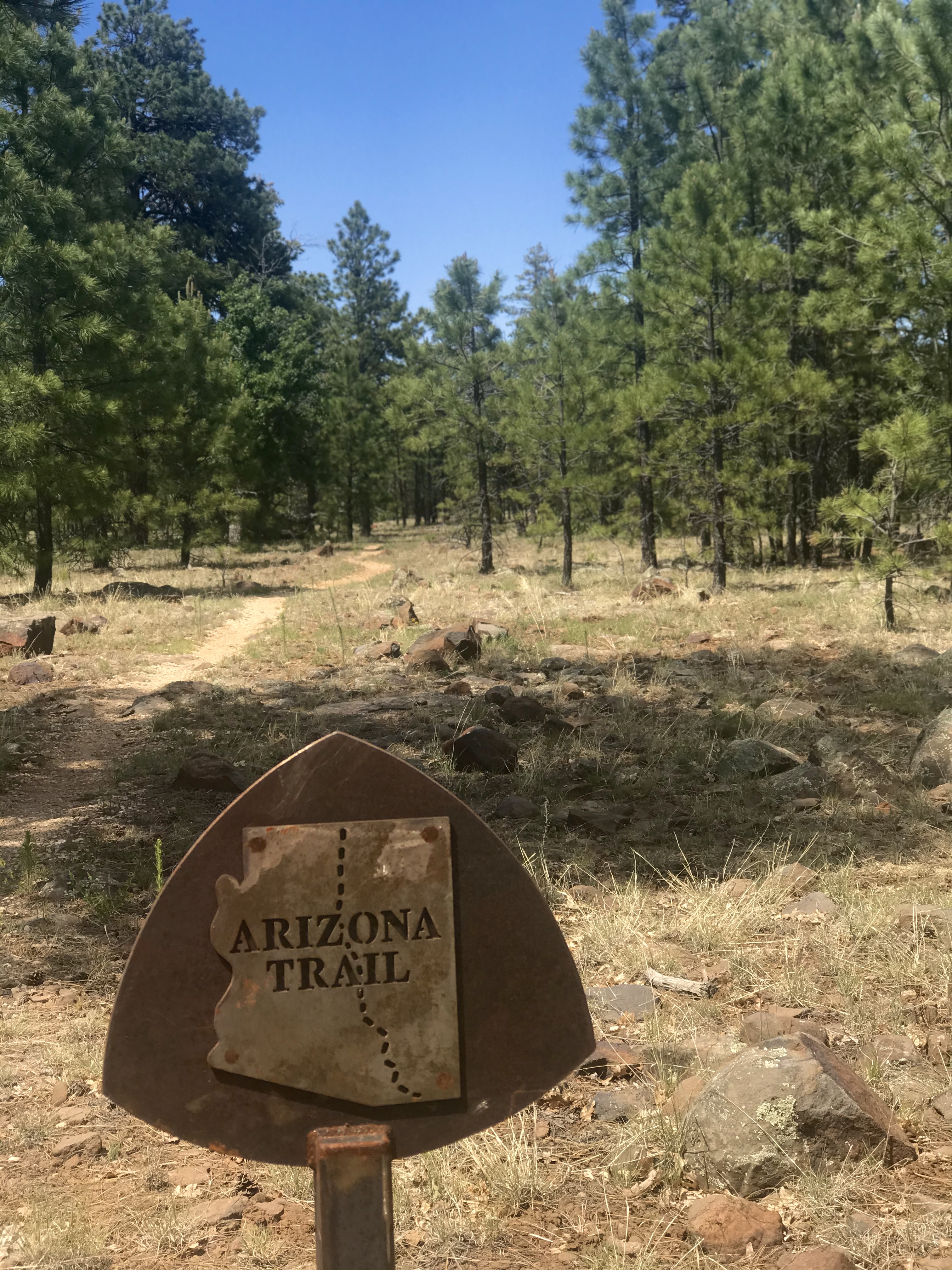
Arizona Trail: Blue Ridge Segment
2nd Hike Option: Rock Crossing Trail
This trail starts BEFORE the boat launch area on the side of the dirt road. It is 2.2 miles in total, but it crosses BRR twice. We didn’t know this, and did the 0.5 mile down to the water and turned around haha. I’d be curious to swim or kayak across BRR and continue hiking it, though!
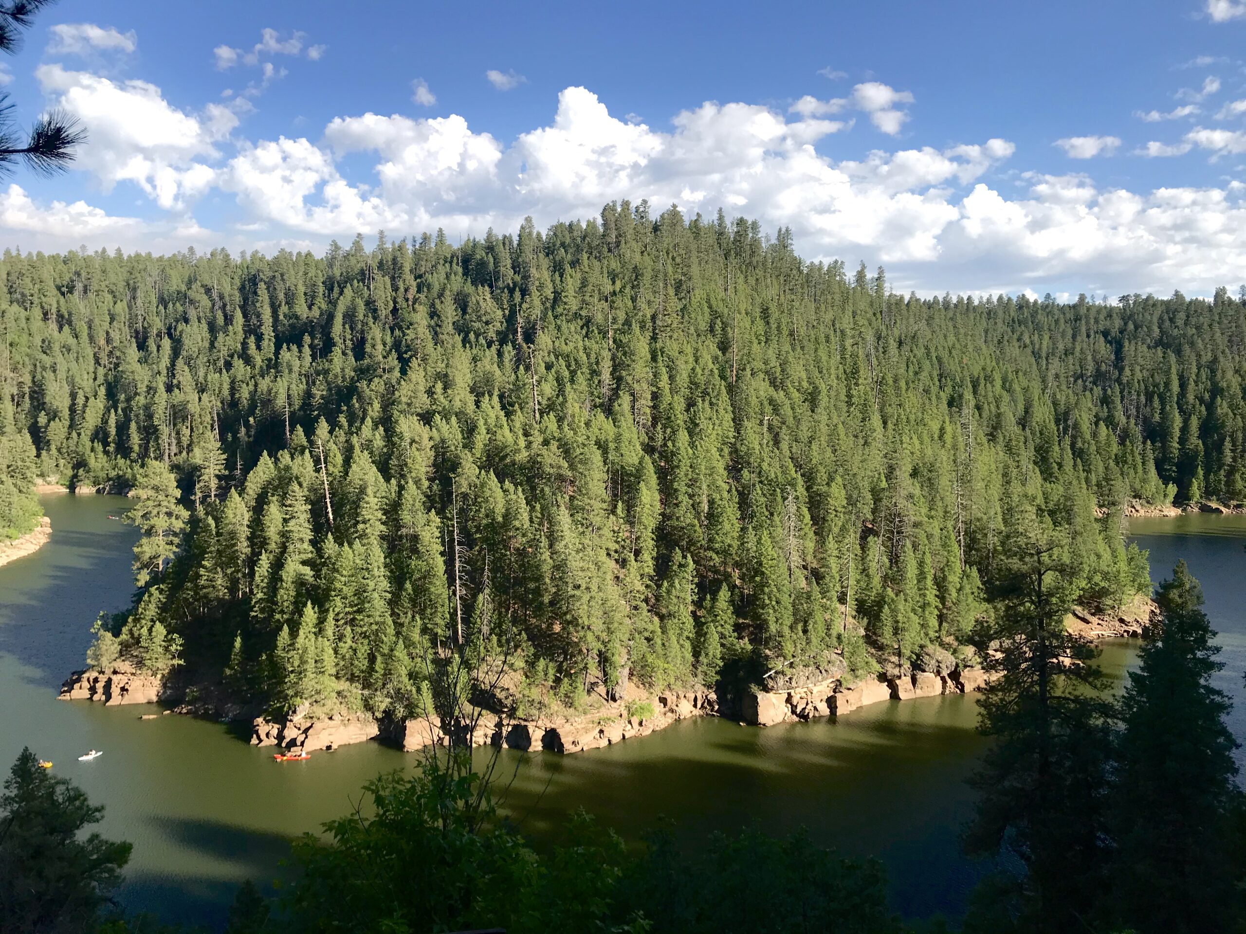
3rd Hike Option: Kinder Crossing
I have not done this one, but it looks beautiful. You’d have to drive on FR 751B and then down another forest road to start it. Seems to be steep, but takes you down the canyon to beautiful views and a swimming hole.
Kinder Crossing Trail
Camping at Blue Ridge Reservoir
I 100% recommend camping at or near BRR. It gives you the chance to see this beautiful area at sunrise, sunset, and get there before the crowds. Below is a map from the Forest Service for developed campgrounds in the area. There is some dispersed camping options as well. Let’s go over some details.
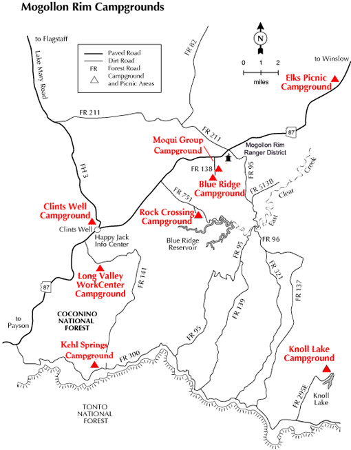
Rock Crossing Campground
This is the CLOSEST campground to Blue Ridge Reservoir. To answer a question you may have, no you cannot camp on the shoreline. Rock Crossing Campground is 2 miles from the launch. Some spots you can book ahead of time, and some are first-come, first-served. It is $20 per site and you get 50% off if you have an America The Beautiful Pass.
Blue Ridge Campground
Blue Ridge Campground is developed as well, meaning there’s a fee (same as Rock Crossing), picnic tables, fire rings, and bathrooms, which is nice! It is 7.5 miles from Rock Crossing Campground via the highway or about 4 miles via FR 138 and 751B. There are no reservations here- just first-come, first-served. There are only 10 spots here.
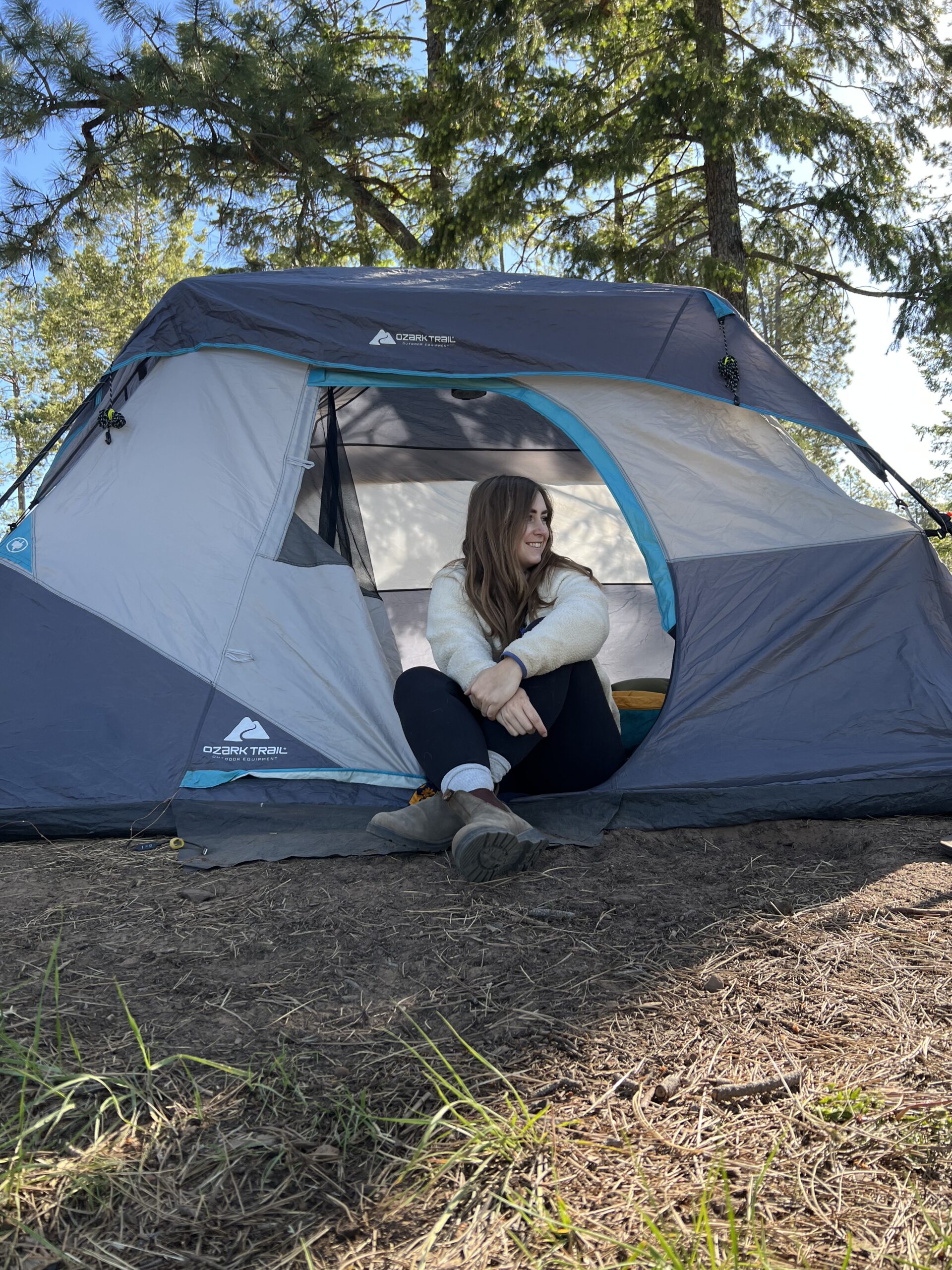
Dispersed Camping- FR 751B
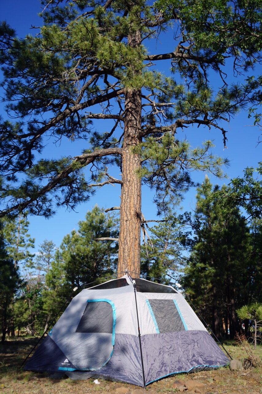
If you’re not familiar with the term, dispersed camping means there are no designated camping spots. No bathrooms, no picnic tables, fire rings, etc. I prefer this type of camping honestly! It’s much more quiet, you can be farther from neighbors, etc. Please LEAVE NO TRACE (trash, waste, etc), and KNOW THE CURRENT FIRE RESTRICTIONS. We couldn’t do a fire when we went- it’s a bummer but you need to respect the rules. I have a map I created above that you can reference for the location of FR 751B. It’s a mile or so in once you turn off the highway, to your left.
Summary
I hope this gives you all the info you need to be prepared and to have fun when visiting Blue Ridge Reservoir. Coming here was one of the first moments I realized I wanted to write blogs to help people. I didn’t know where to turn, where to camp, the distance between things, etc and I wanted to help others with it. I hope you enjoy!!

